
Land for Sale in Rawlins, Wyoming
County Road 497, Rawlins, WY 82301
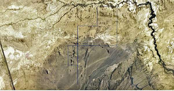
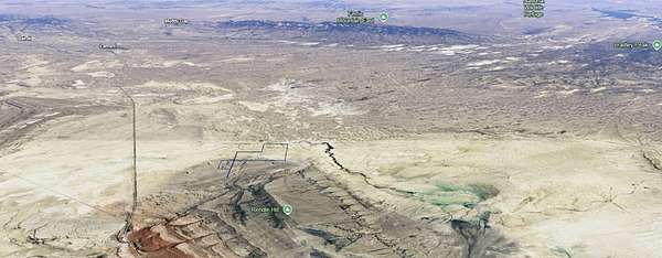
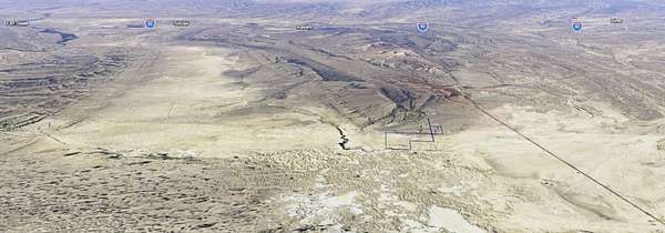
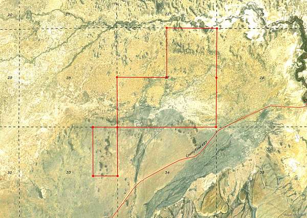
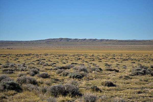
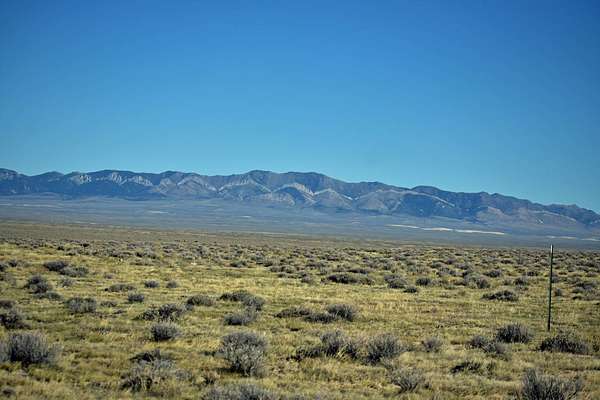
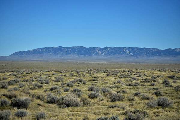
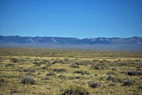
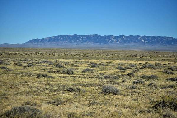
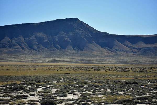
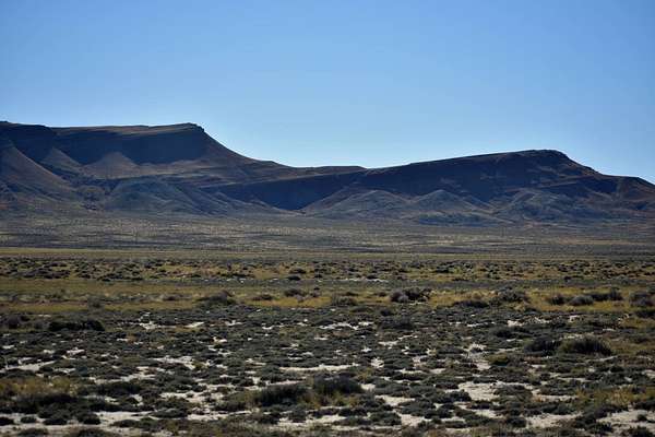
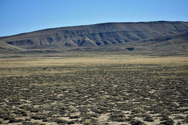
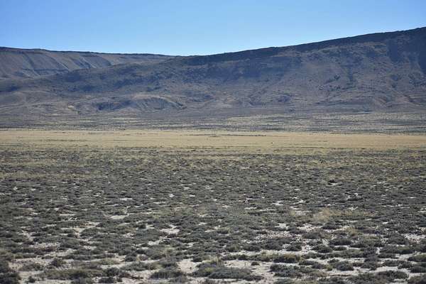
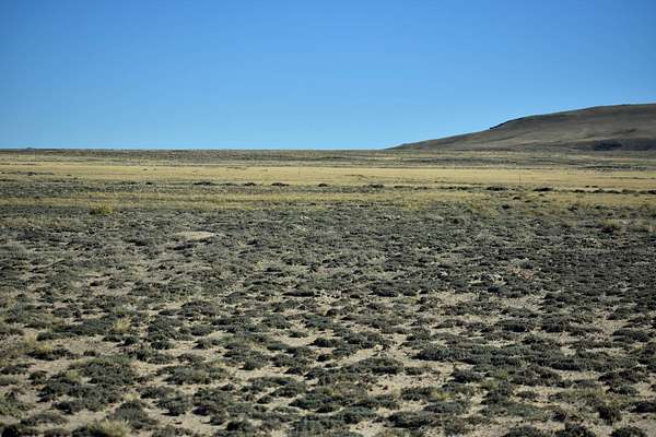
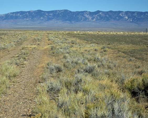
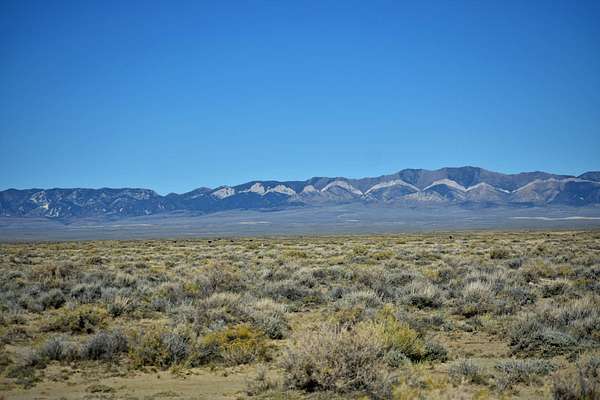
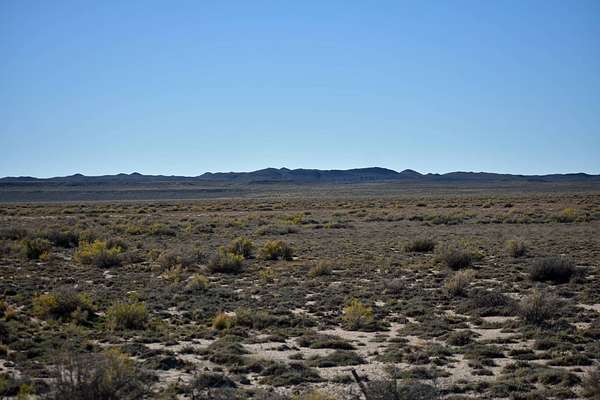
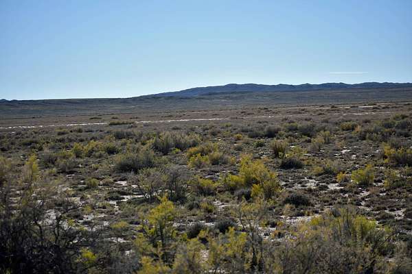
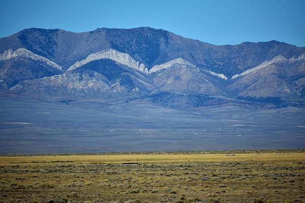
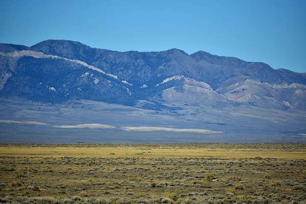
Over 560 Acres for your own Mini-Ranch off of County Rd. 497 where you can escape to the views of Rendle Hill, Green Mountain, Whiskey Peak, and the Ferris Mountains. To the north of the property is The Ferris Mountains WSA encompasses 22,245 acres of BLM-administered land and one private inholding of 160 acres. The study area is steep and rugged, providing unusual and spectacular scenery. Ferris Peak is the highest point in the Great Divide Basin at 10,037 feet and rises some 3,000 feet from the valley floor. Large stands of Douglas fir, interspersed with grassy parks create an alpine setting. The Ferris Mountains WSA, in combination with its relatively large size, diversity and ruggedness, contains outstanding opportunities for a primitive and unconfined type of recreation. The WSA's ridges, canyons, valleys and meadows offer outstanding opportunities for hiking, hunting, camping and backpacking, A climb to Ferris Peak offers an exceptional hiking experience, where visitors must pick their own routes because there are no trails to the top. Hunting within the WSA is considered exceptional and the scenic values are unique to the region. Independence Rock was the most-noted landmark of the wagon trails west of Fort Laramie. The rock derived its name from a party of fur trappers who camped and celebrated Independence Day near the rock on July 4, 1830. Eventually, thousands of emigrants camped at the foot of this 1,900 feet long by 850 feet wide granite outcrop. They carved their names and messages into the granite, using Independence Rock as a bulletin board for Oregon Trail travelers. In 1961, it was designated a national historic landmark managed by the State of Wyoming. Today, the site contains a footpath that goes around the base of the rock, interpretive exhibits that tell the trail story, visible trail ruts (a deep wagon swale passes beneath the path's footbridge, and emigrant inscriptions. Hiking is allowed on the rock; however, please avoid walking on the earliest inscriptions as they are wearing thin. BLM land borders along the property boundaries which may also be available to lease. These parcels give you many opportunities for recreating or for agricultural uses such as grazing. There are no utilities and no fenced in borders currently. Hunting eligibility meets the acreage requirements for landowner tags with approval from Wyoming Game and Fish to confirm availability for Elk Zone 111 and Deer Zone 87. Resources in Rawlins, Wyoming are 16 miles south and access is ideal just off the County Rd. 497 which connects directly to Highway 287. Building in Carbon County RAM Zone is primarily agriculture / mining and has restrictions as to what is built in the zone, you can contact the Carbon County Zoning office in Rawlins.
Location
- Street address
- County Road 497
- County
- Carbon County
- Zip code
- 82301
- Elevation
- 6,583 feet
Directions
Take Business 287 north to US 287 approximately 16 miles. County Rd. 487 will be on the right hand side just after the mailboxes, Turn Right and go approximately 3 1/3 miles to a slight bend to the right and the SE corner of Section 27 is an BLM section corner property line and you will have reached the property line.
Property details
- Acreage
- 560 acres
- Zoning
- Mixed Use
- MLS #
- MyStateMLS 11624026
- Posted
Listing history
| Date | Event | Price | Change | Source |
|---|---|---|---|---|
| July 8, 2026 | Relisted | $355,000 | — | MyStateMLS |
| June 29, 2026 | Listing removed | $355,000 | — | Listing agent |
| Jan 3, 2026 | New listing | $355,000 | — | MyStateMLS |
Payment calculator