Skip to main content
Skip to navigation
Properties
Find agent
Post property
Log in
•
Sign up
Search here
List
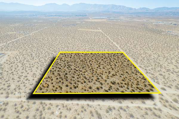
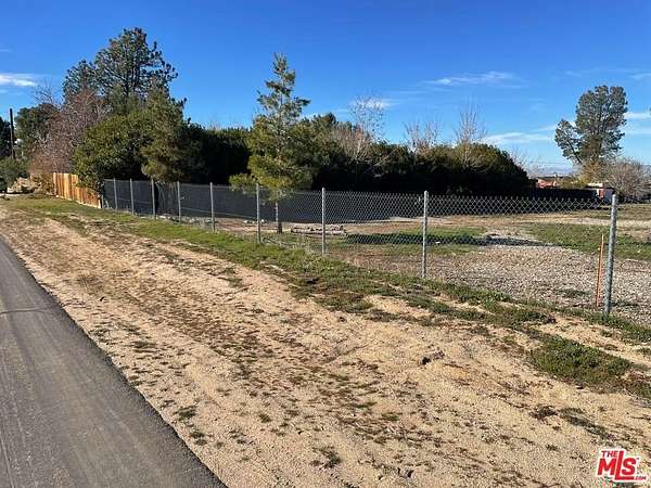
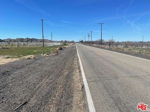
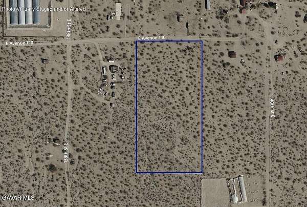
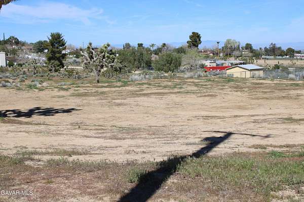
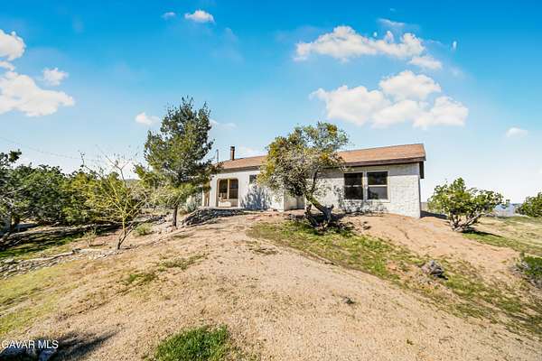
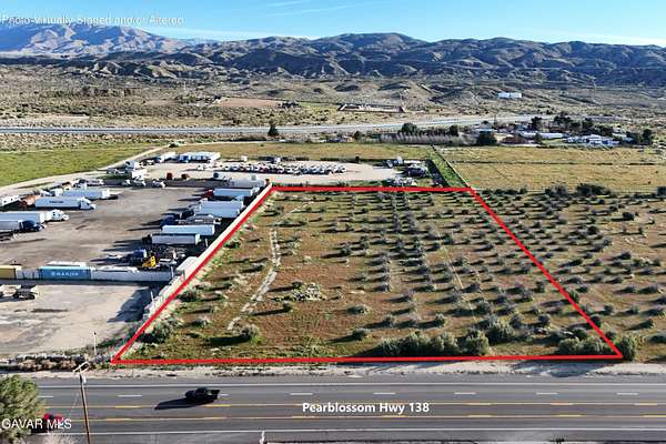
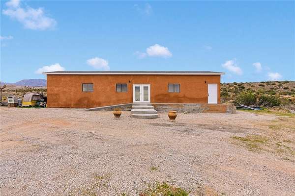
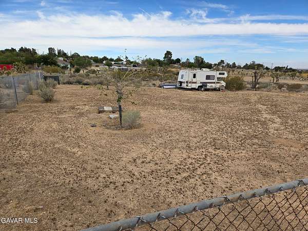
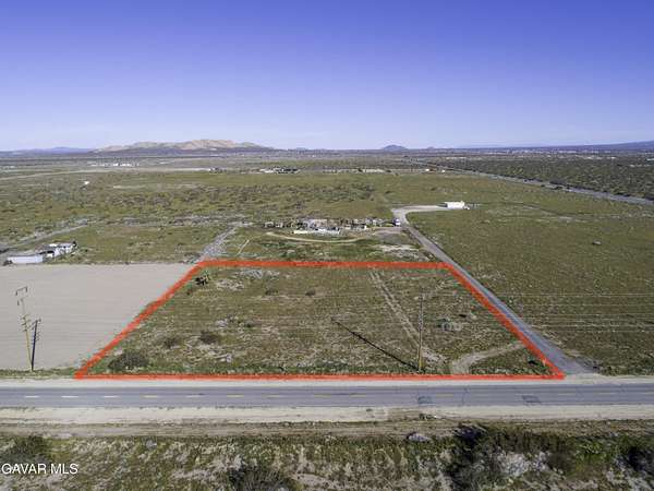
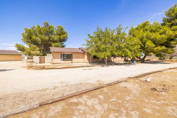
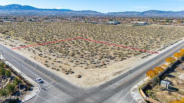
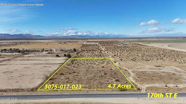
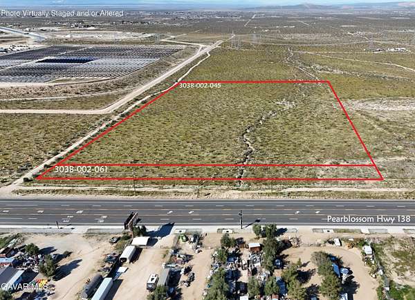
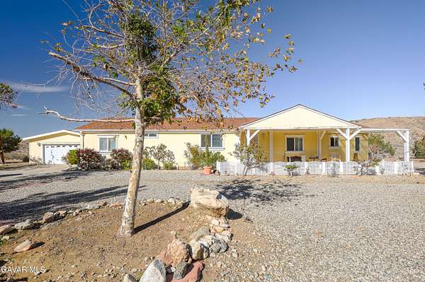
Pearblossom, CA land for sale
Price
Size
Tags
Save
273 properties
For you
Newest
Price: high to low
Price: low to high
Size: large to small
Size: small to large
Updated
Featured
14 months ago
$29,995
7.5 acres
Los Angeles County
Pearblossom, CA 93553
Featured
2 months ago
$95,000
0.86 acres
Los Angeles County
Pearblossom, CA 93553
Featured
2 months ago
$12,500
2.5 acres
Los Angeles County
Palmdale, CA 93591
Featured
29 days ago
$120,000
5 acres
Los Angeles County
— sq ft
Palmdale, CA 93591
Featured
2 months ago
$22,000
5 acres
Los Angeles County
Pearblossom, CA 93553
Featured
10 months ago
$55,000
20.6 acres
Los Angeles County
Lancaster, CA 93535
Featured
13 months ago
$120,000
20 acres
Los Angeles County
Palmdale, CA 93591
Featured
3 months ago
$50,000
5 acres
Los Angeles County
Juniper Hills, CA 93543
Featured
46 days ago
$14,000
2.56 acres
Los Angeles County
Palmdale, CA 93591
Featured
46 days ago
$10,000
1.29 acres
Los Angeles County
Palmdale, CA 93552
Featured
18 months ago
$14,000
2.59 acres
Los Angeles County
Palmdale, CA 93591
Featured
10 months ago
$15,000
5 acres
Los Angeles County
Juniper Hills, CA 93543
Featured
46 days ago
$12,500
Los Angeles County
Palmdale, CA 93551
Featured
2 months ago
$60,000
Los Angeles County
Palmdale, CA 93550
2 months ago
$250,000
2.5 acres
Los Angeles County
Palmdale, CA 93591
12 days
$89,000
4.12 acres
Los Angeles County
Pearblossom, CA 93553
11 days
$649,990
12.2 acres
Los Angeles County
2 bd, 2 ba
•
1,372 sq ft
Littlerock, CA 93543
47 days ago
$399,999
1 acre
Los Angeles County
Littlerock, CA 93543
2 months ago
$230,000
5 acres
Los Angeles County
Littlerock, CA 93543
20 days
$120,000
2.49 acres
Los Angeles County
Pearblossom, CA 93553
60 days ago
$60,000
2.49 acres
Los Angeles County
Palmdale, CA 93550
12 days
$248,000
0.75 acres
Los Angeles County
Sun Village, CA 93543
3 months ago
$59,500
1.1 acres
Los Angeles County
Palmdale, CA 93552
$15k drop • Jan 21
$65,000
0.54 acres
Los Angeles County
Pearblossom, CA 93553
2 months ago
$4,000/mo
4.83 acres
Los Angeles County
4 bd, 2 ba
•
2,458 sq ft
Palmdale, CA 93591
23 days
$74,000
2.12 acres
Los Angeles County
Sun Village, CA 93543
3 months ago
$600,000
4.83 acres
Los Angeles County
4 bd, 2 ba
•
2,458 sq ft
Palmdale, CA 93591
46 days ago
$399,000
10 acres
Los Angeles County
3 bd, 2 ba
•
2,018 sq ft
Juniper Hills, CA 93543
4 days
$679,900
2.25 acres
Los Angeles County
3 bd, 2 ba
•
1,864 sq ft
Palmdale, CA 93591
6 months ago
$50,000
2.49 acres
Los Angeles County
Palmdale, CA 93550
11 days
Auction
$18,000 min
0.93 acres
Los Angeles County
Palmdale, CA 93591
50 days ago
$49,950
5 acres
Los Angeles County
Palmdale, CA 93591
$20k drop • Jan 27
$579,000
10.2 acres
Los Angeles County
1 bd, 2 ba
•
912 sq ft
Littlerock, CA 93543
7 months ago
$75,000
4.69 acres
Los Angeles County
Palmdale, CA 93591
36 days ago
$65,000
2.56 acres
Los Angeles County
Palmdale, CA 93591
2 months ago
$55,000
9.44 acres
Los Angeles County
Palmdale, CA 93591
$10k drop • Mar 4
$489,990
4.17 acres
Los Angeles County
3 bd, 2 ba
•
1,580 sq ft
Littlerock, CA 93543
2 months ago
$29,000
0.9 acres
Los Angeles County
Juniper Hills, CA 93543
14 days
$499,000
2.46 acres
Los Angeles County
3 bd, 2 ba
•
2,168 sq ft
Pearblossom, CA 93553
35 days ago
$175,000
10.3 acres
Los Angeles County
Palmdale, CA 93552
50 days ago
$250,000
2 acres
Los Angeles County
Palmdale, CA 93591
2 months ago
$225,000
2.3 acres
Los Angeles County
Palmdale, CA 93552
2 months ago
$65,000
4.71 acres
Los Angeles County
Palmdale, CA 93591
$10k drop • Feb 17
$330,000
1.51 acres
Los Angeles County
Pearblossom, CA 93553
$30k drop • Jan 25
$499,000
9.29 acres
Los Angeles County
4 bd, 2 ba
•
2,120 sq ft
Pearblossom, CA 93553
14 days
$389,900
2.12 acres
Los Angeles County
3 bd, 2 ba
•
1,625 sq ft
Llano, CA 93544
53 days ago
$17,000
1.26 acres
Los Angeles County
Pearblossom, CA 93553
31 days ago
$19,999
2.59 acres
Los Angeles County
Littlerock, CA 93543
$7.9k drop • Mar 6
$42,000
2.49 acres
Los Angeles County
Palmdale, CA 93543
46 days ago
$549,900
235 acres
Los Angeles County
Littlerock, CA 93543
1
2
3
4
…
6
1-50 of 273 properties
Map