Recreational & Residential Land for Sale in Battle Mountain, Nevada
E Frontage Rd, Battle Mountain, NV 89820
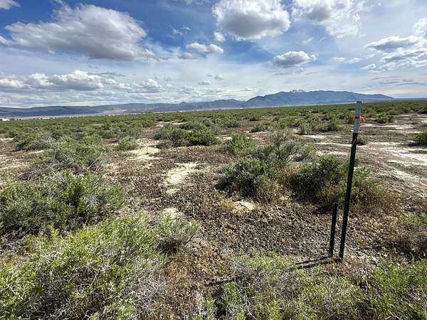
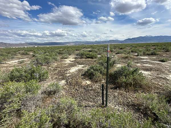
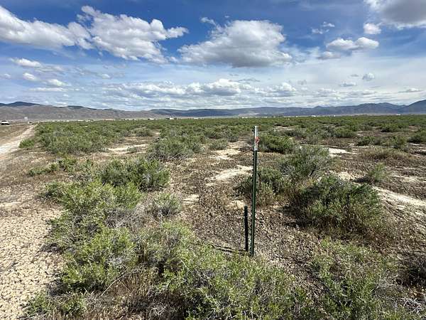
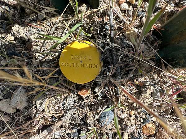
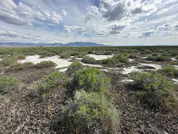
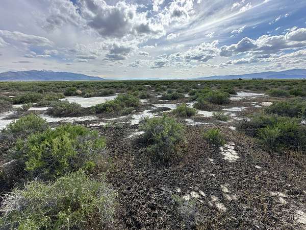
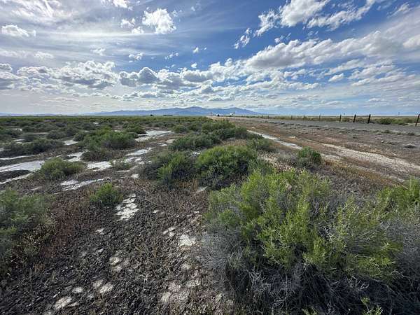
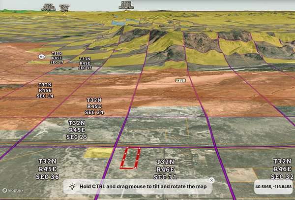
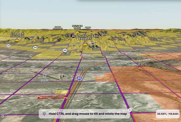
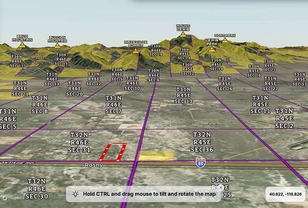
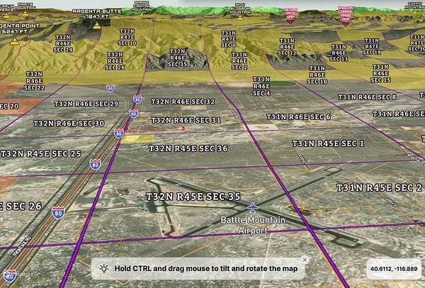
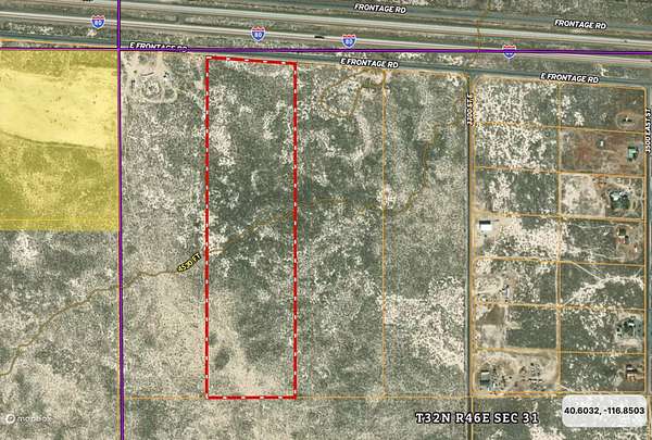
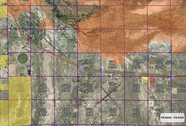
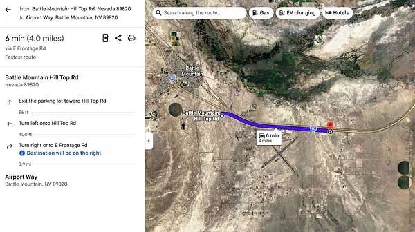
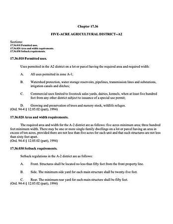
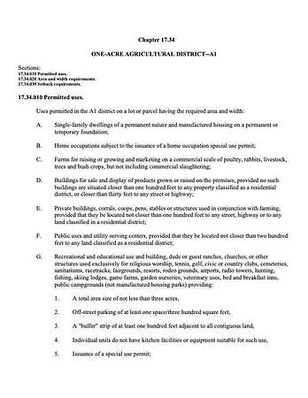
Come build your Legacy in the Boulder Valley on this +/-36.47 Acres of Nevada Land For Sale near Battle Mountain, NV in Lander County. This Residential and Horse Property/Ranchette For Sale in Northern Nevada is less than 3 miles to millions of acres of Bureau of Land Management (BLM) Public Lands. The elevation of the parcel is 4,530 Ft. This would be a great place to build your acreage or use as a base camp for all you high desert hunting and recreational adventures. Need a place to park trucks and trailers, this could be it. It is also less than 2 miles to the East of the Battle Mountain Municipal airport and easy access back to I-80, along the paved frontage road. Guarded by the Shoshone Range to the East, You are sure to love the 360 degree views and the solitude this land offers. Escape the cities on the weekends or come build your acreage and start living your dream on this NV Land For Sale Today. Please see the GPS Coordinates below and the Google map screenshot in the pictures. Buyers to complete their own due diligence and confirm all information to their satisfaction. All information is believed to be accurate, but it is not guaranteed. GPS COORDINATES NW Corner: 40.6111, -116.8413; NE Corner: 40.6109, -116.8389; SW Corner: 40.6041, -116.8413; SE Corner: 40.6041, -116.8389; PROPERTY INFORMATION Asking Price: $35,000 County: Lander County, Nevada; Acres: +/-36.47; APN: 011-250-02; Elevation: 4,530 Ft; Zoning: A2 - Vacant Land; Electricity: None; Water: A well will be needed; Water Rights - Well Needed - 1,800 Gallons Per Day from a Domestic Well, As per the State of NV Water Resources Office; Septic: A septic system will be needed; Roads: Paved; Time Limit to Build: None; Yearly Taxes: $317.07 (TY 2025/2026); Nevada Department of Wildlife Game Management Area: 152; Type of Terrain: Level & Varied.
Location
- Street address
- E Frontage Rd
- County
- Lander County
- Zip code
- 89820
- Elevation
- 4,528 feet
Directions
GPS COORDINATES NW Corner: 40.6111, -116.8413; NE Corner: 40.6109, -116.8389; SW Corner: 40.6041, -116.8413; SE Corner: 40.6041, -116.8389;
Property details
- Acreage
- 36.47 acres
- Zoning
- Residential
- MLS #
- MyStateMLS 11691803
- Posted
Property taxes
- 2026
- $317
Parcels
- 011-250-02
Details and features
Listing
- Type
- Vacant Land
Lot
- View
- Scenic
Listing history
| Date | Event | Price | Change | Source |
|---|---|---|---|---|
| Apr 14, 2026 | New listing | $35,000 | — | MyStateMLS |