


Land for Sale in El Paso, Texas
El Paso County, El Paso, TX 79938
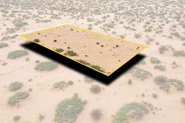
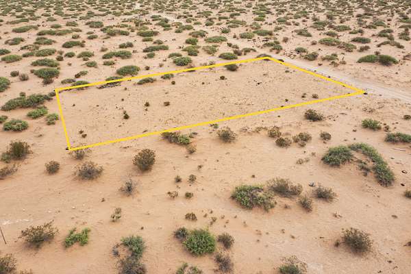
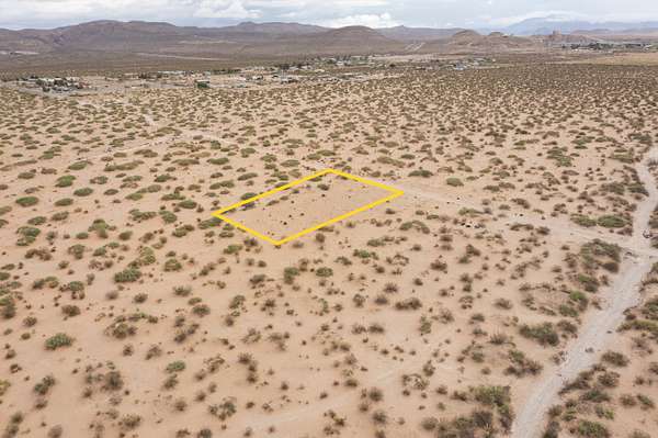
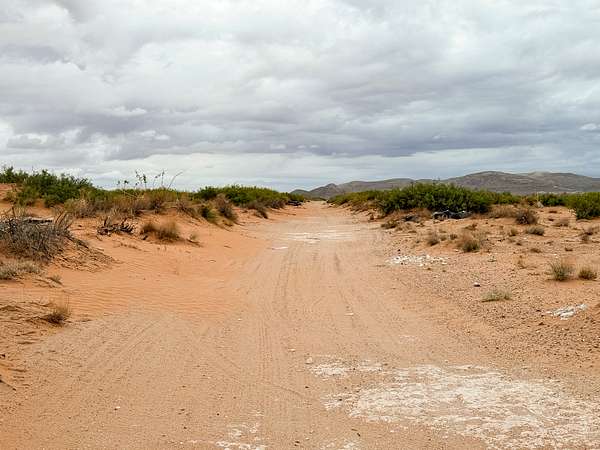
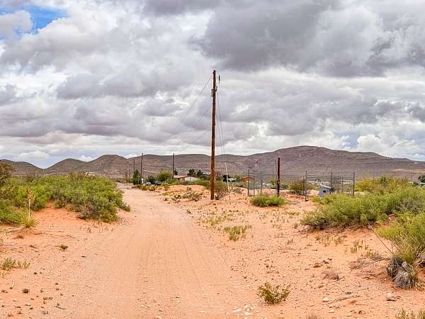
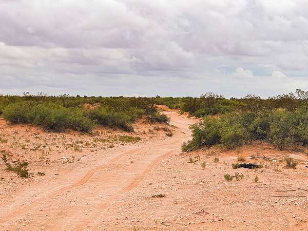
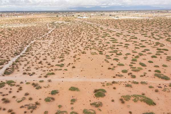
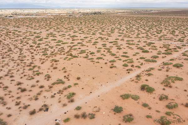
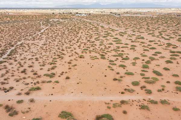
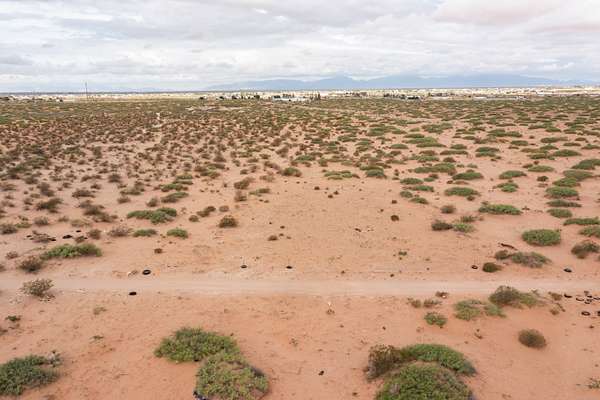
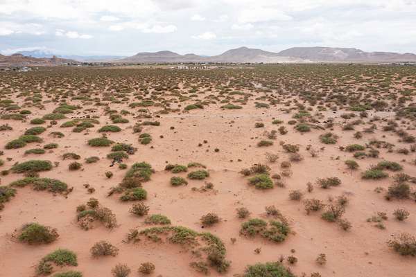
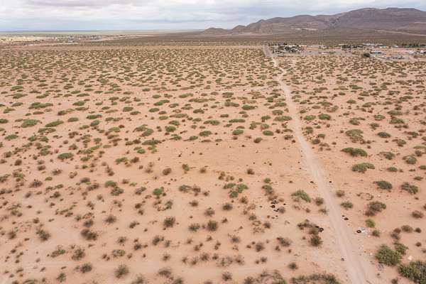
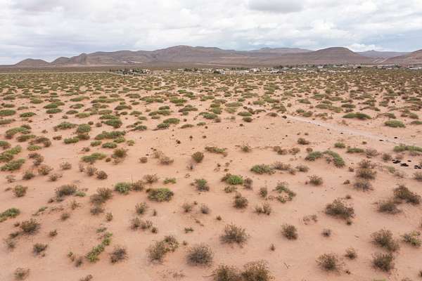
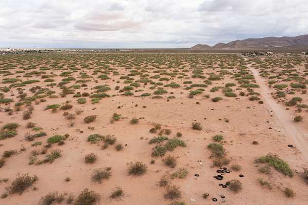
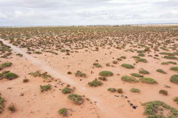
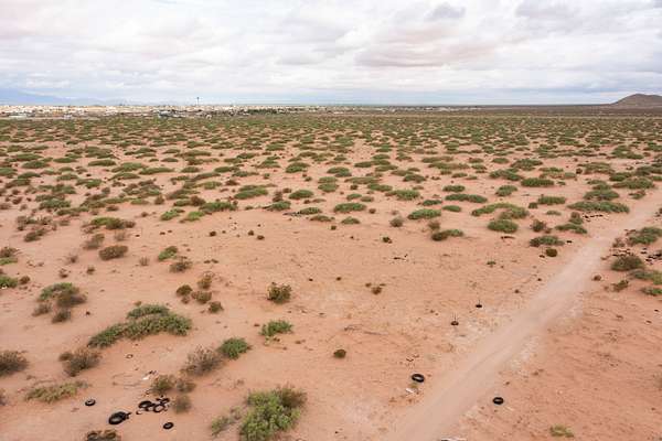
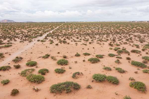
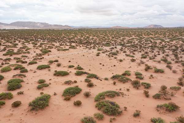
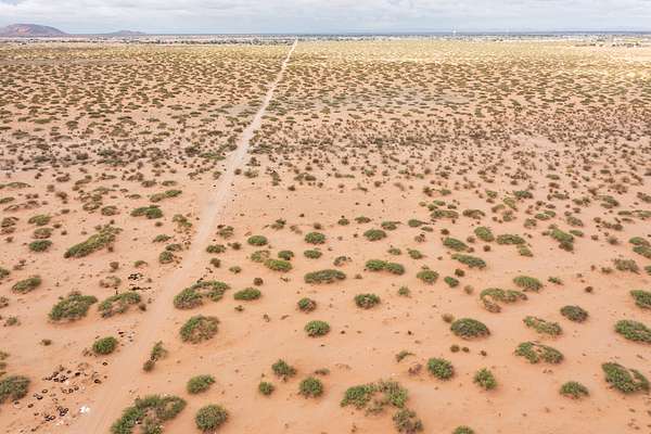
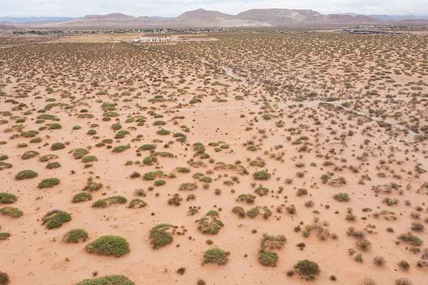
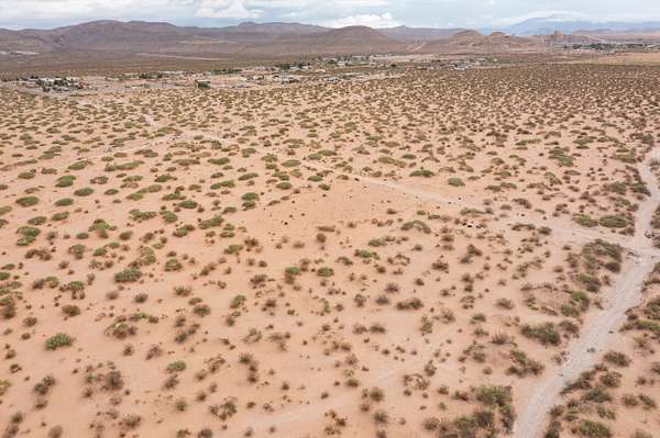
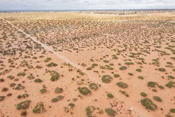
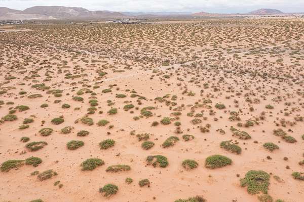
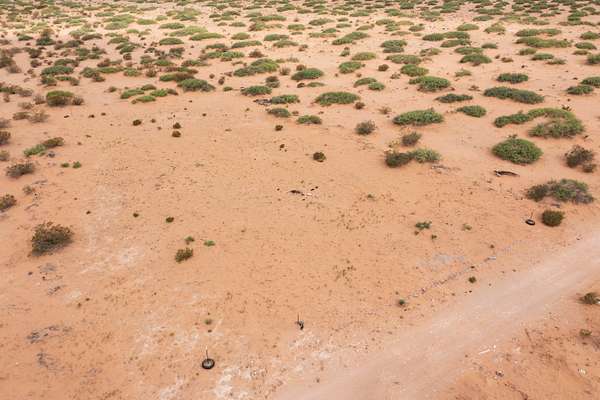
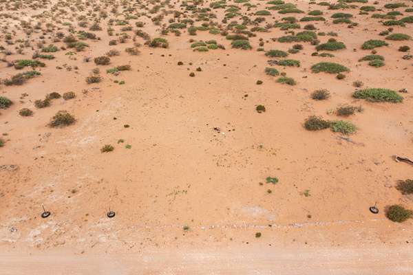
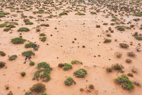
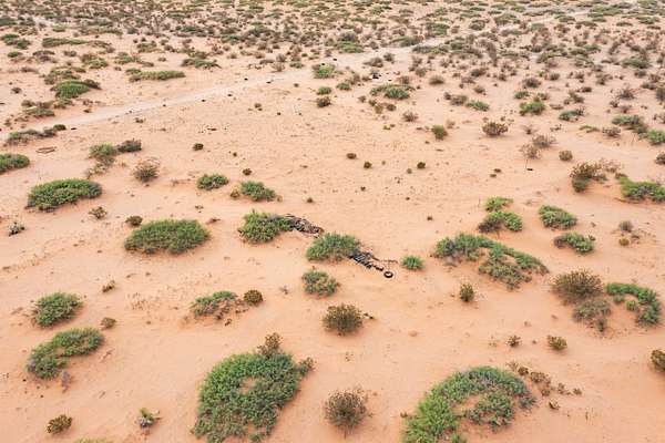
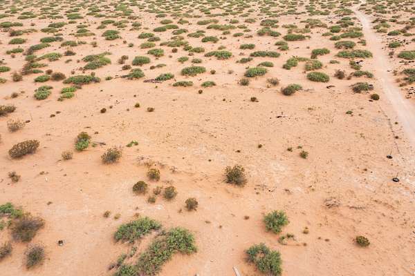
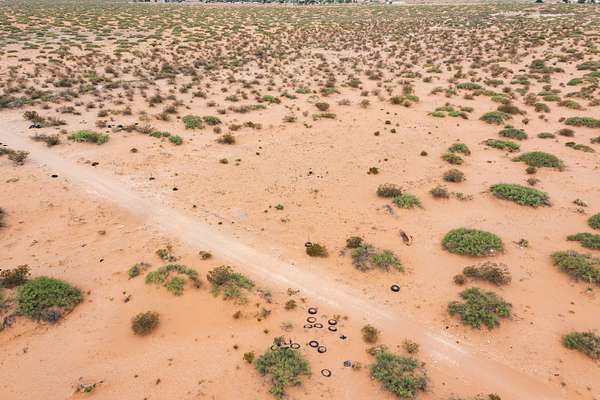
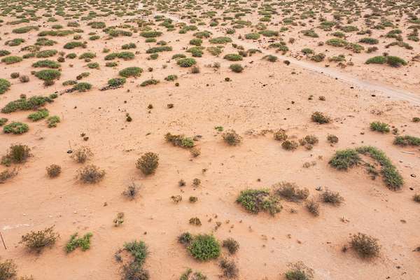
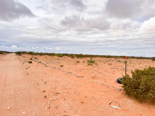
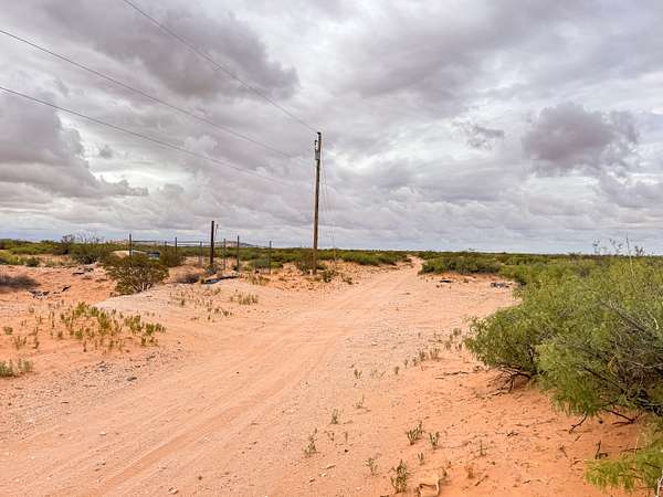
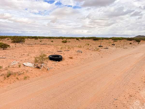
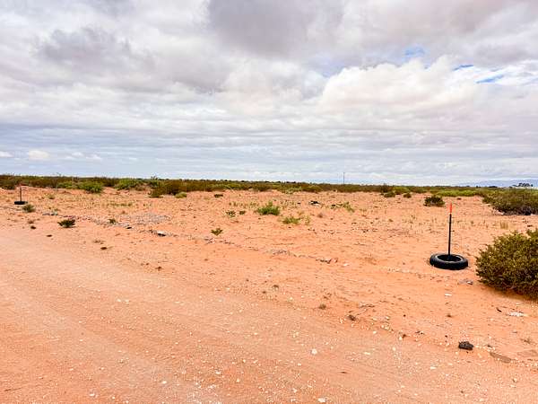
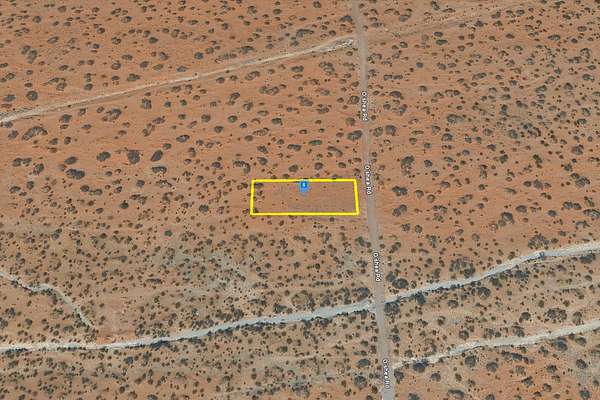
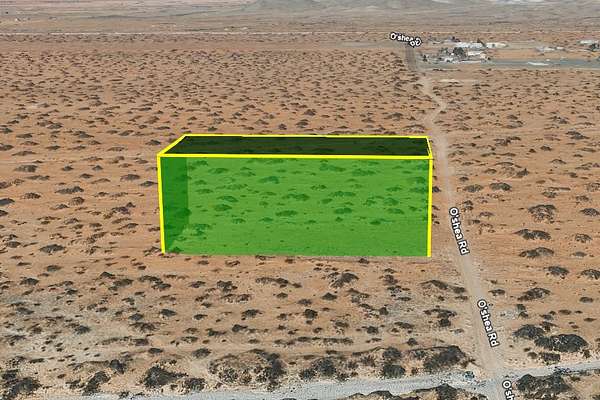
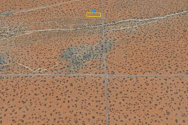
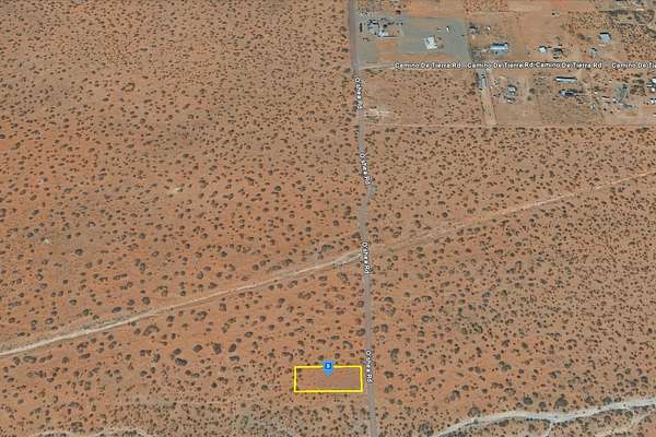
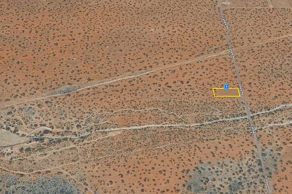
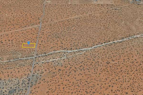
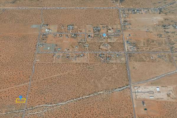
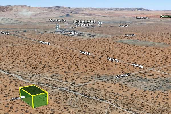
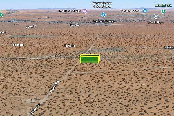
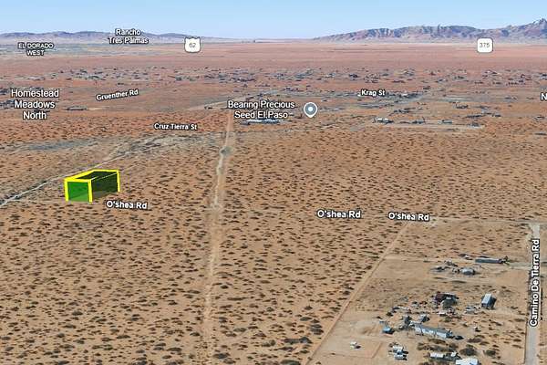
This 0.50-acre lot sits in El Paso County, Texas, just northeast of the city and close to Homestead Meadows and Butterfield! It's off-grid with dirt road access and open desert views all around. The land is quiet and private, a great place if you're looking for space away from the city.
You're still within reach of El Paso International Airport, Fort Bliss, and other main roads, so getting around is easy. Whether you're thinking of a weekend escape or just want to own land in a growing area, this spot gives you that chance. Take the opportunity to enjoy wide-open space and the freedom to shape the land your way!
Location
- County
- El Paso County
- Zip code
- 79938
- School district
- Clint Independent School District
Property details
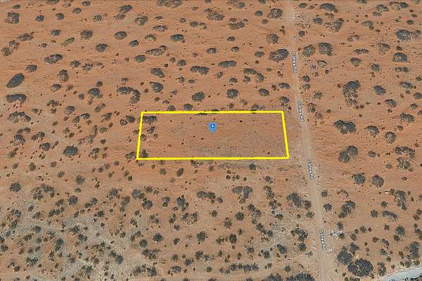
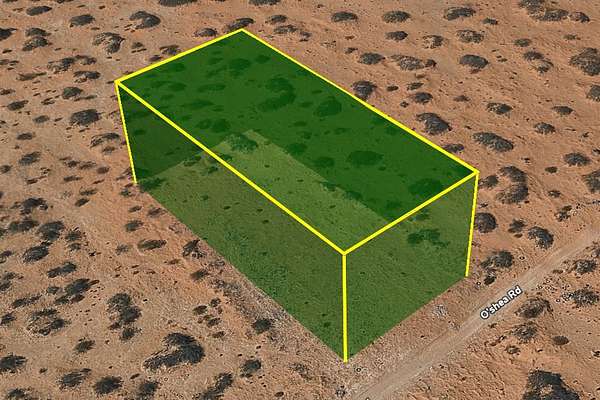
- Lot size
- 0.5 acres21,780 sq ft
- Access
- Public road
- Showing
- Contact for permission
- Posted
Property taxes
- 2025
- $416
Parcels
- X606-000-0090-0895
Legal description
The following described property situated in El Paso County, Texas:
A parcel of land within the Southwest 4 of Section 9, Block 6, Public School Land Survey, El Paso County, Texas and being more particularly described by metes and bounds as follows:
Beginning at the Southwest section corner pipe of said Section 9, thence North 00 degrees 33 minutes 00 seconds West along the section line a distance of 919.63 feet to a point, thence North 89 degrees 57 minutes 15 seconds East a distance of 1731.76 feet to a point, thence North 00 degrees 33 minutes 00 seconds West a distance of 359.82 feet to a point, thence North 89 degrees 57 minutes 15 seconds East a distance of 645.85 feet to the Southwest corner and point of beginning of this parcel.
Thence North 00 degrees 33 minutes 00 seconds West a distance of 99.94 feet to a # 4 rebar in the Northwest corner of this parcel.
Thence North 89 degrees 57 minutes 15 seconds East a distance of 220.00 feet to a #4 rebar in the Northeast corner of this parcel.
Thence South 00 degrees 33 minutes 00 seconds East a distance of 80.12 feet to a #4 rebar at the point of curvature of a curve in the Southeast corner of this parcel.
Thence along the arc of a curve a distance of 31.24 feet to the right, whose interior angle is 89 degrees 29 minutes 45 seconds and whose radius is 20.00 feet to a #4 rebar at the point of tangency.
Thence South 89 degrees 57 minutes 15 seconds West a distance of 200.19 feet to a #4 rebar in the said Southwest corner and point of beginning of this parcel.
Said parcel contains 0.50 acres more or less.
Resources
Owner financing
| Finance price | Down payment | Term | Rate | Payment | Est total |
|---|---|---|---|---|---|
| $30,000 | $1,250 | 23 months | 0% | $1,250/mo | $1,285/mo |
- Taxes and expenses
Buyer pays
Listing history
| Date | Event | Price | Change | Source |
|---|---|---|---|---|
| Jan 22, 2026 | Price increase | $30,000 | $7,500 33.3% | Property seller |
| Dec 17, 2025 | Price drop | $22,500 | $3,000 -11.8% | Property seller |
| Dec 10, 2025 | Price drop | $25,500 | $4,500 -15% | Property seller |
| June 24, 2025 | New listing | $30,000 | — | Property seller |
Payment calculator