


Recreational Land for Sale in Emery, Utah
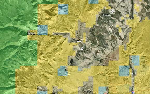
Emery County, Emery, UT
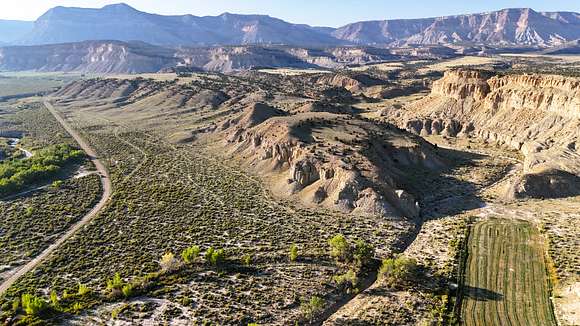
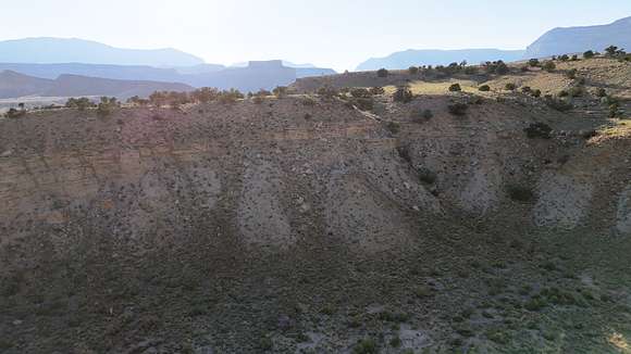
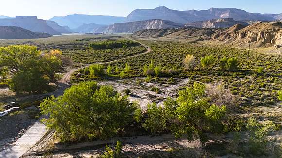
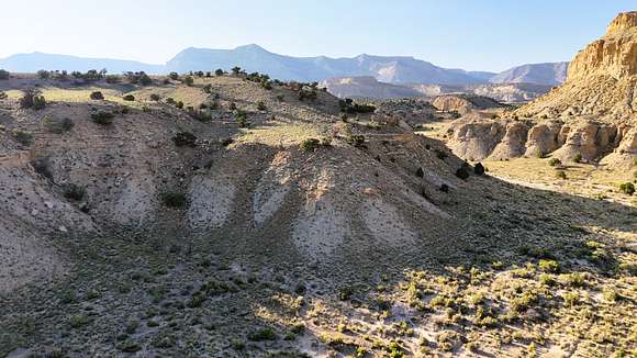
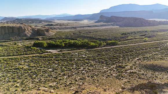
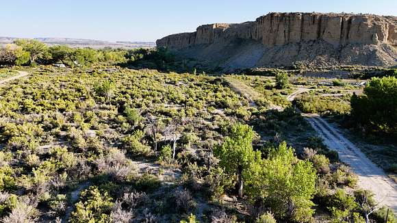
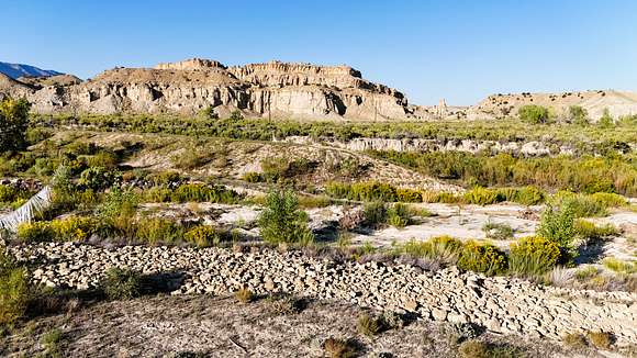
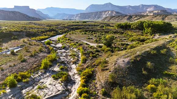
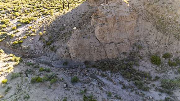
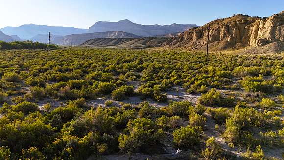
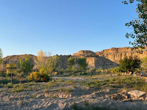
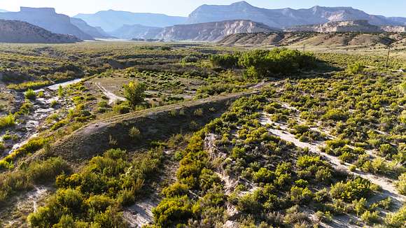
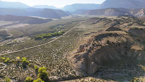
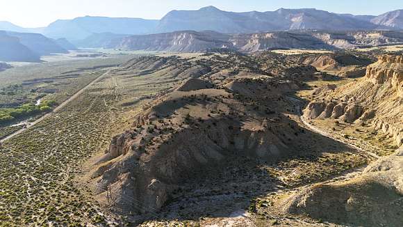
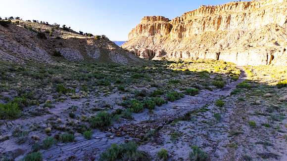
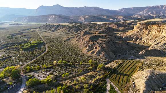
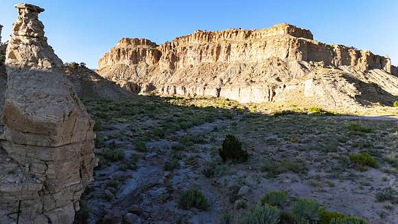
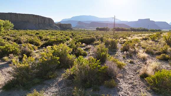
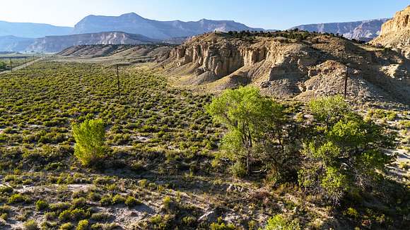
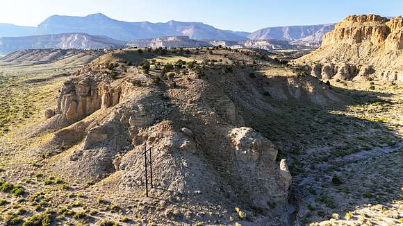
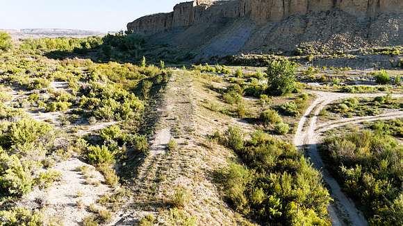
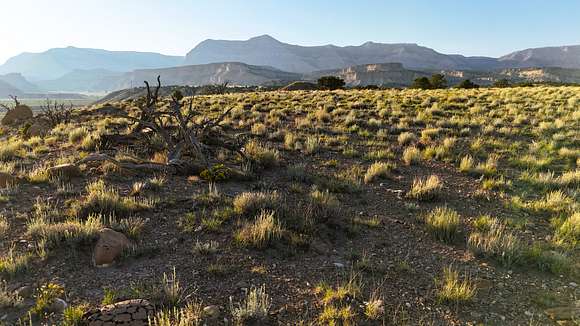
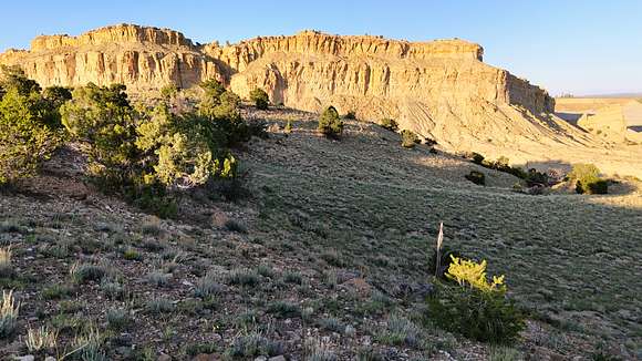
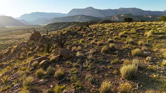
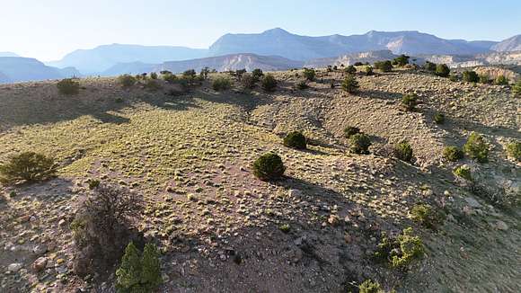
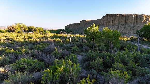
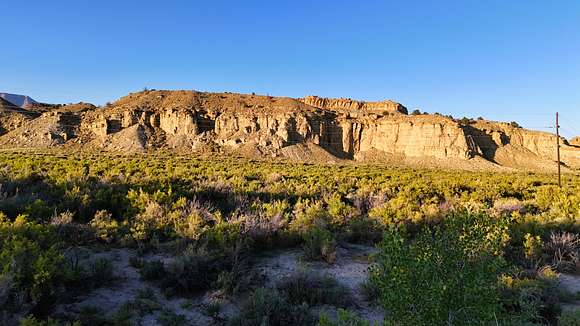
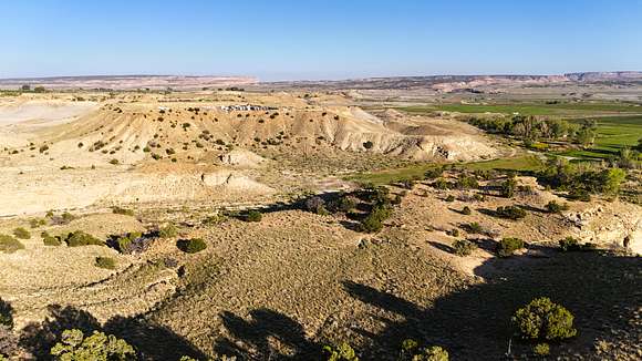
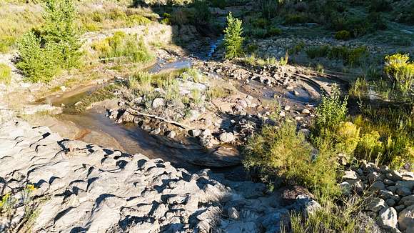
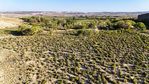
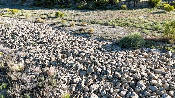
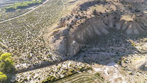
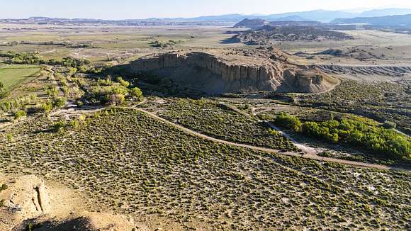
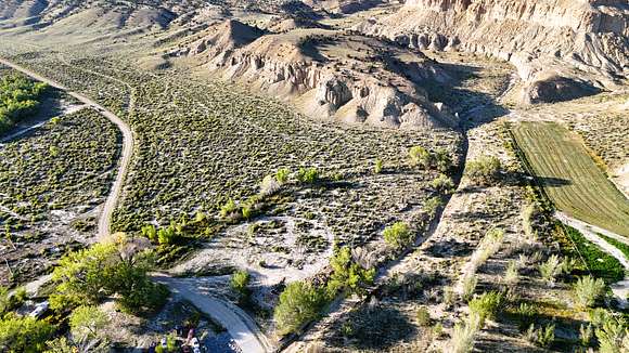
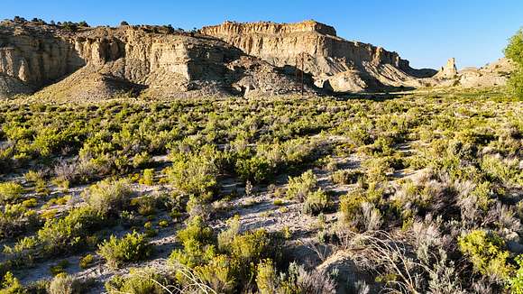
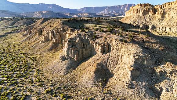
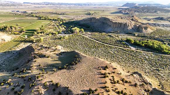
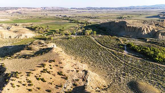
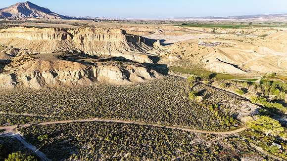
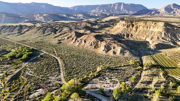
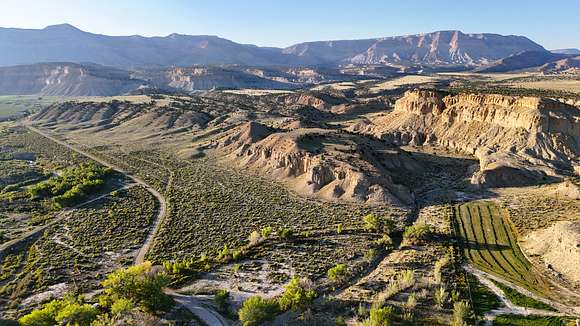
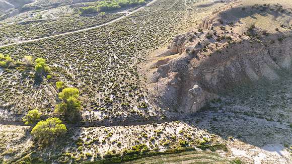
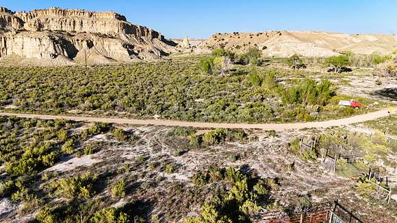
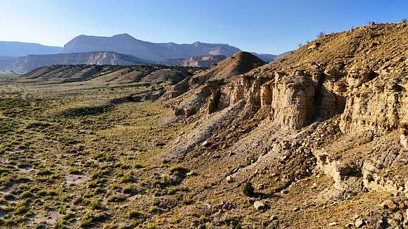
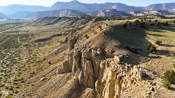
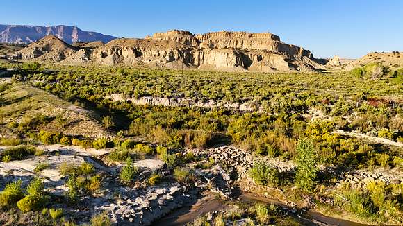
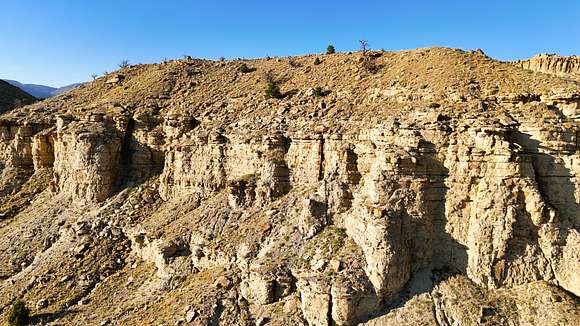
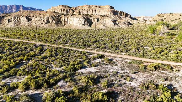
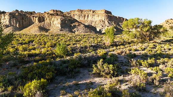
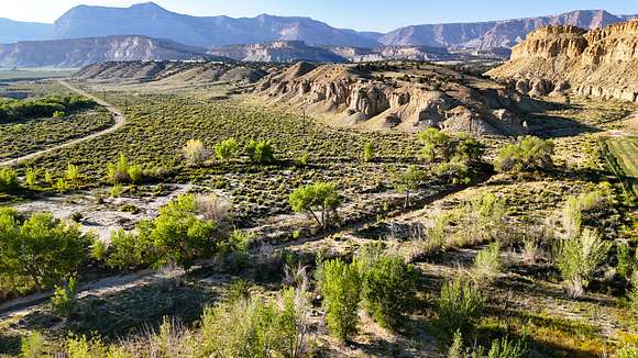
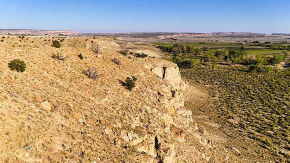
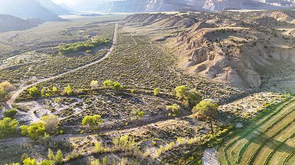
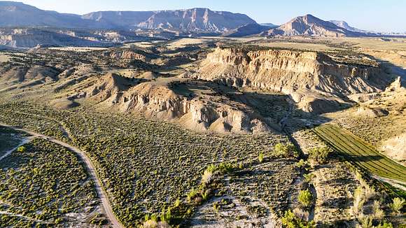
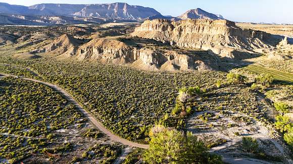
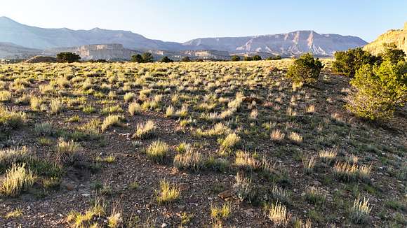
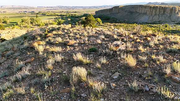
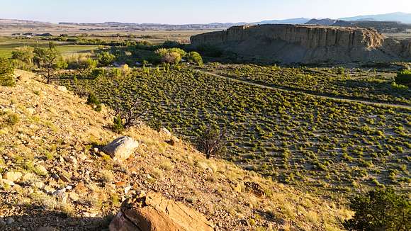
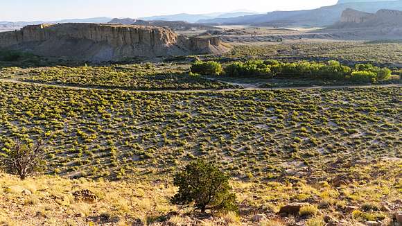
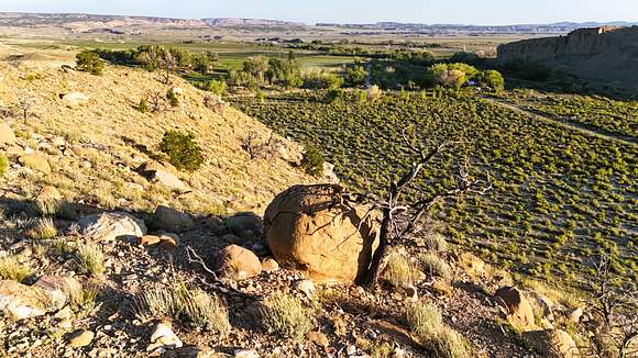
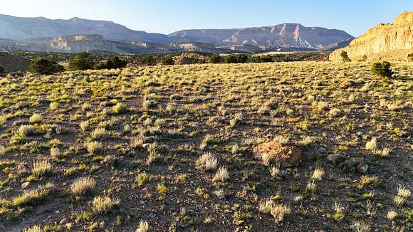
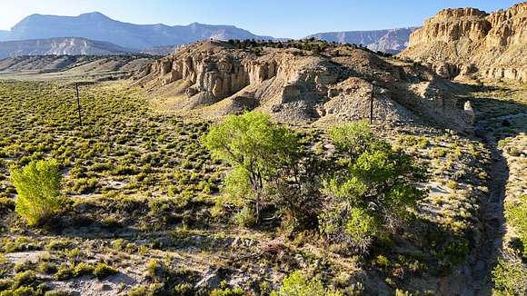
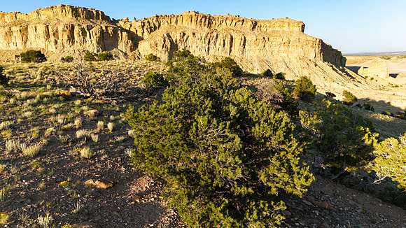
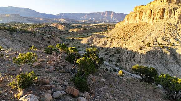
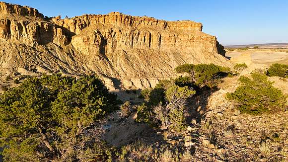
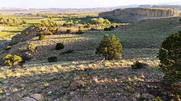
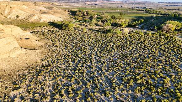
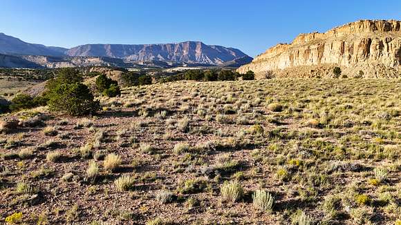
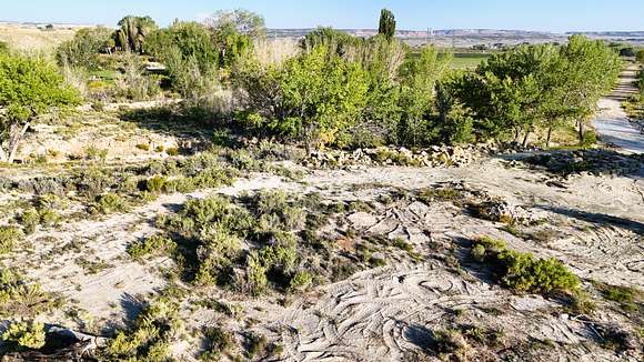
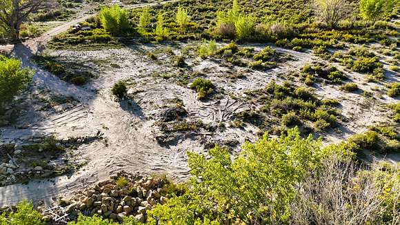
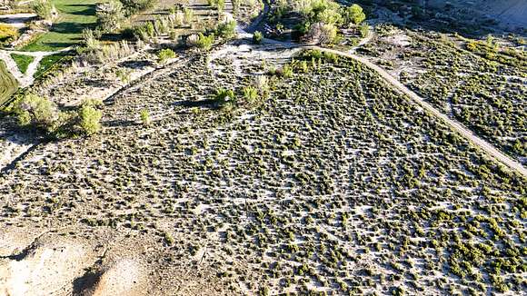
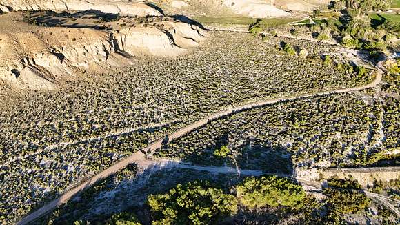
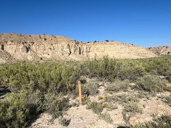
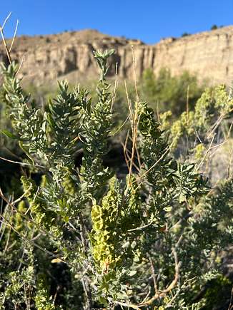
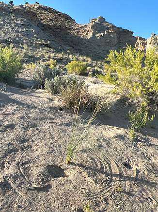
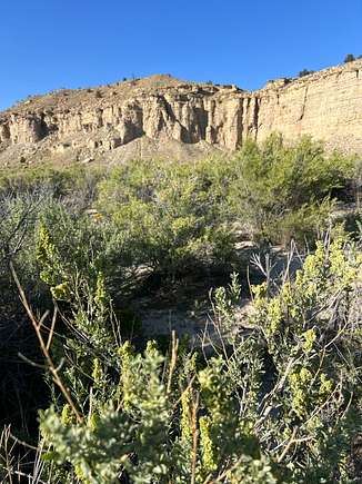
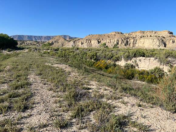
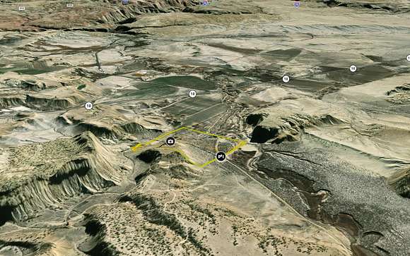
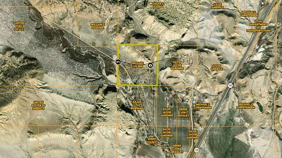
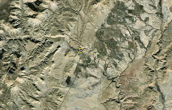
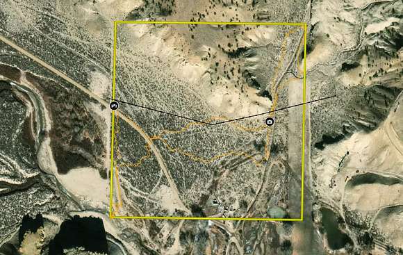
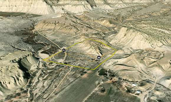
40+ acres of property located less than a mile off of HWY 10 and less than 5 miles from Emery. Located at the intersection of Quitchumpah Creek and Link Canyon Wash, the property has a little bit of everything to complement the panoramic views. The creek bottom gives way to scattered trees and mature brush, which covers the majority of the property before it rises dramatically with 100+ foot cliffs supporting a flat mesa with overlooks in every direction.
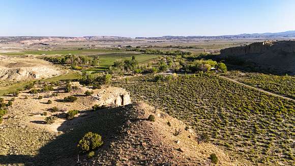
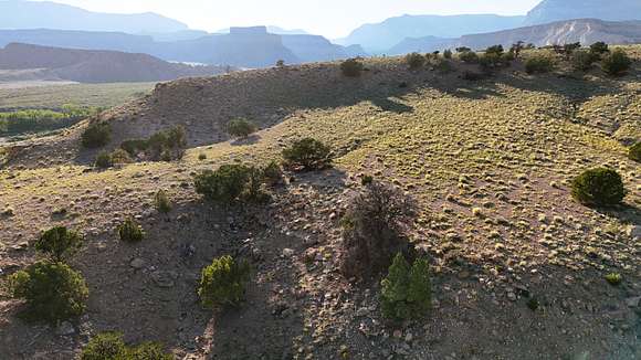
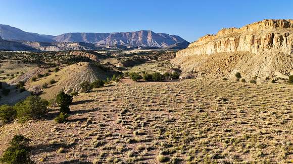
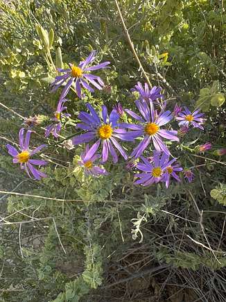
The canyon has a dead-end road, ensuring that traffic in the area is minimal and the serenity offered by nature is unbroken. With year-round water in the creek and agriculture nearby, this lot serves as a corridor for various wildlife, including deer, turkeys, foxes, and coyotes, along with several other species. To the north, Link Canyon, the Wasatch Plateau, and Wildcat Knolls make for a picture-perfect backdrop. To the west, Convulsion Canyon and Water Hollow combine for more awe-inspiring views. Finally, above the fields to the south, the rocky canyons of the San Rafael Swell are visible.
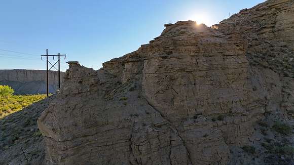
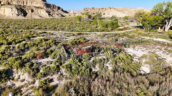
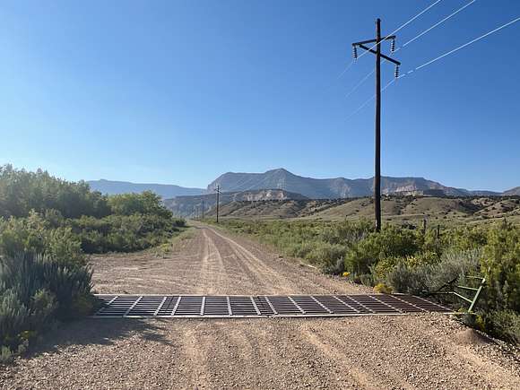
A recent development, the property now has 4.73 ACFT of underground water rights supporting a home, stock watering, and irrigation. If you are looking for room and water for your animals, start a hobby farm, or to live off-grid, then this place would be ideal. The property has been recently surveyed, saving the new owners nearly $2500, and the mineral rights are also conveyed with the property. Power is on the property as well as telecommunications, and the buyer would need to check for hookup expenses/fees.
This lot is located close to Fish Lake National Forest, the San Rafael Swell, and well over 3 million acres of public land for your family to explore. If you are looking for a legacy-type family retreat property that will be enjoyed for many years, this is the lot for you!
Location
- County
- Emery County
- Elevation
- 6,100 feet
Directions
From the intersection of Emery main and center streets head Southwest on HWY 10 4.1 miles, then head West on the N. Quitchumpah Creek Rd, follow this road for .7 miles and you will be on the property.
Property details
- Acreage
- 40.64 acres
- Zoning
- Agricultural
- Access
- Public road
- Showing
- Contact for permission
- Posted
Property taxes
- 2024
- $97
Parcels
- 6-107-2
Legal description
The Northwest Quarter of the Southwest Quarter (sometimes described as Lot 3) in Section 19, Township 22 South, Range 6 East, SLB&M.
Resources
Details and features
Lot
- View
- Desert, Farm, Mountain, Scenic
Exterior
- Parking
- Parking Pad
- Features
- Corral
Property utilities
| Category | Type | Status | Description |
|---|---|---|---|
| Power | Grid | Available | — |
| Water | Private Well | Available | 4.73 ACFT of underground water, well needs to be re-drilled |
Listing history
| Date | Event | Price | Change | Source |
|---|---|---|---|---|
| Mar 1, 2026 | Under contract | $149,000 | — | Listing agent |
| Nov 18, 2025 | Price drop | $149,000 | $20,000 -11.8% | Listing agent |
| July 25, 2025 | New listing | $169,000 | — | Listing agent |
| Jan 27, 2025 | Listing removed | $139,900 | — | Listing agent |
| Sept 8, 2024 | New listing | $139,900 | — | Listing agent |
Payment calculator