Images
Map
Street
Agricultural & Residential Land for Sale in Laurel Fork, Virginia
Fireside Dr, Laurel Fork, VA 24352
$199,900
21 acres
Active sale
ago
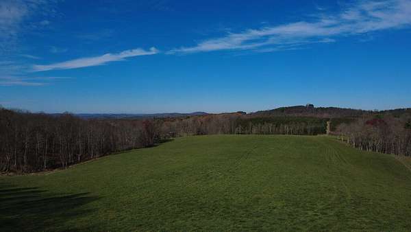
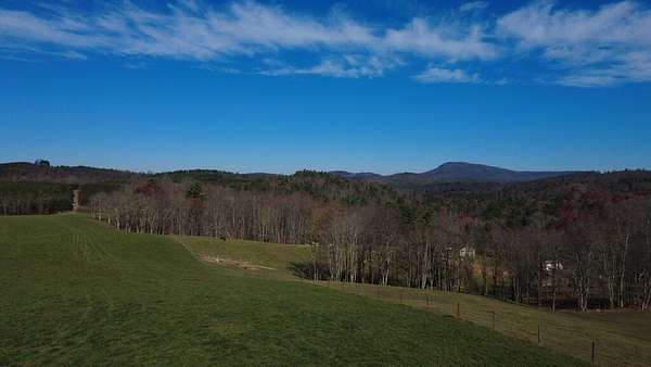
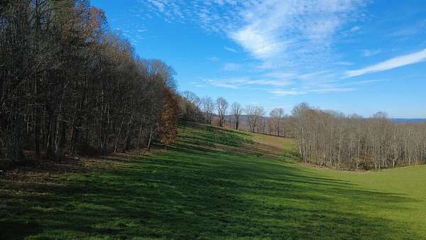
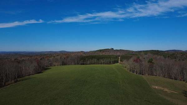
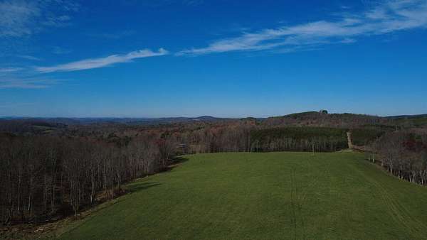
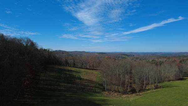
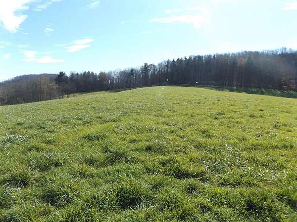
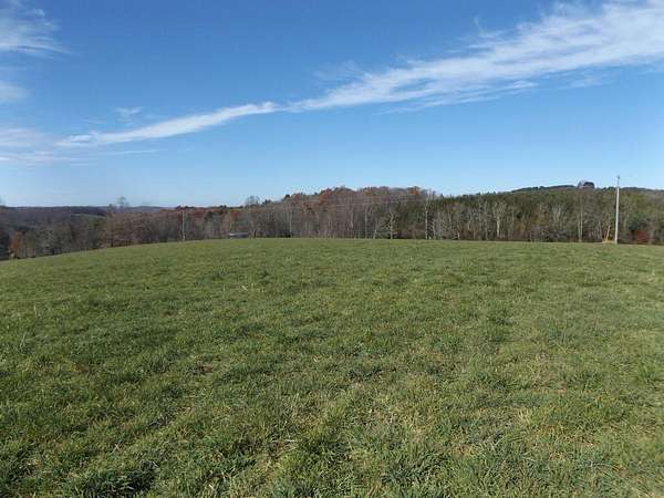
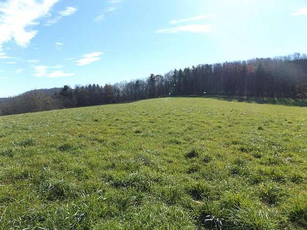
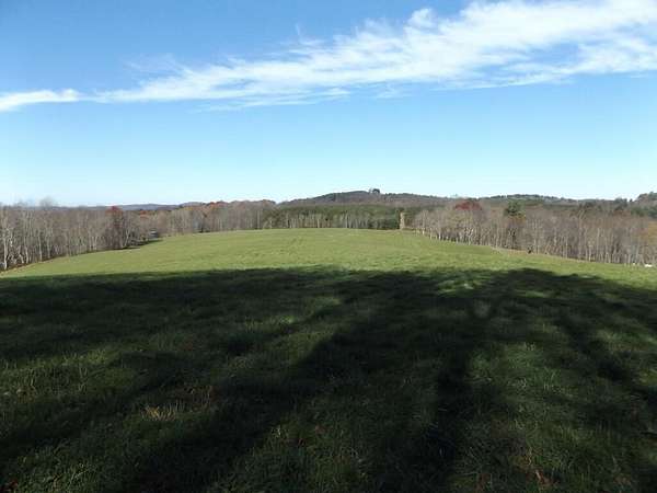
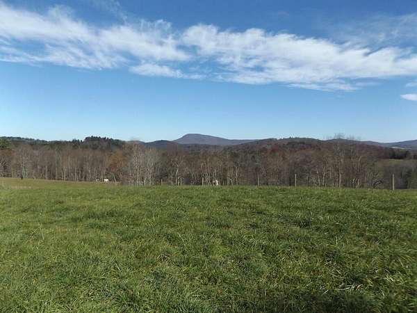
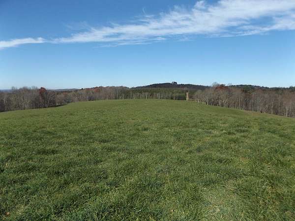
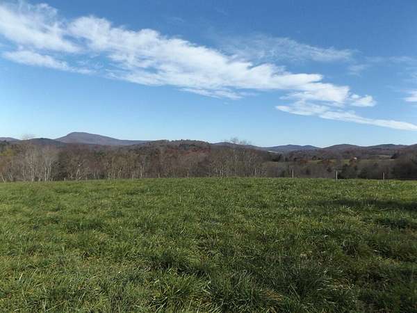
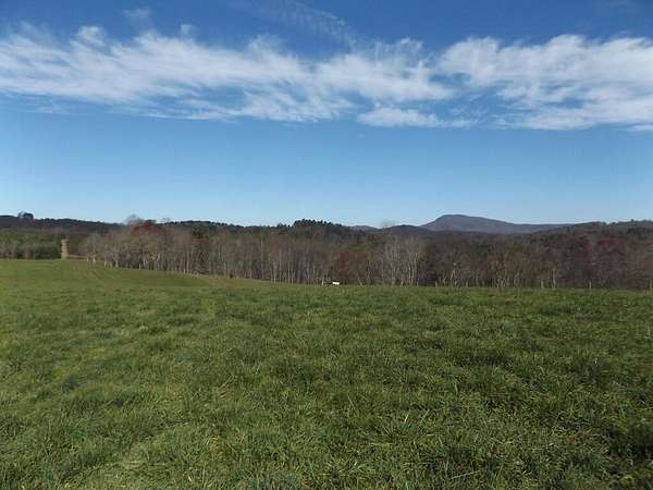
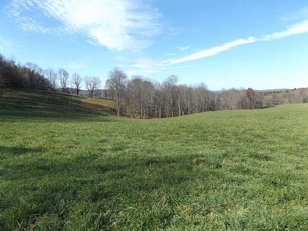
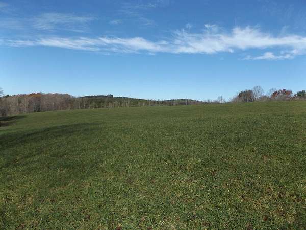
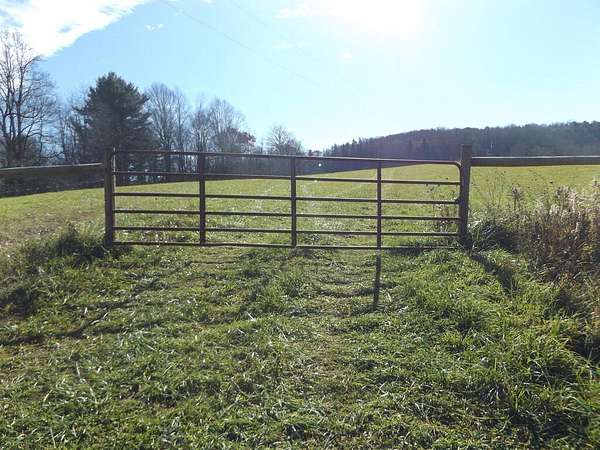
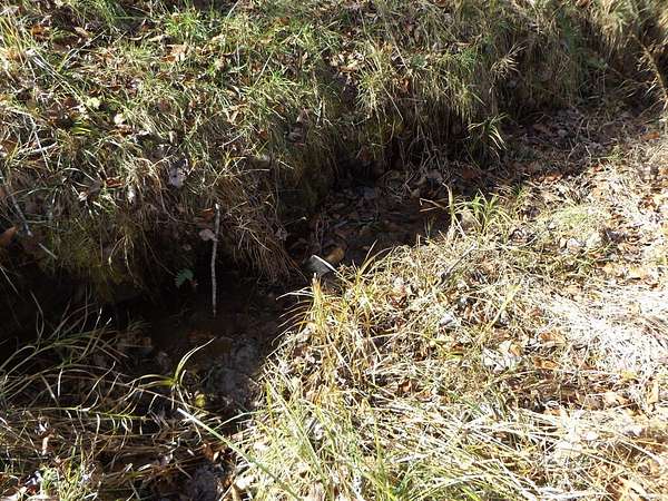
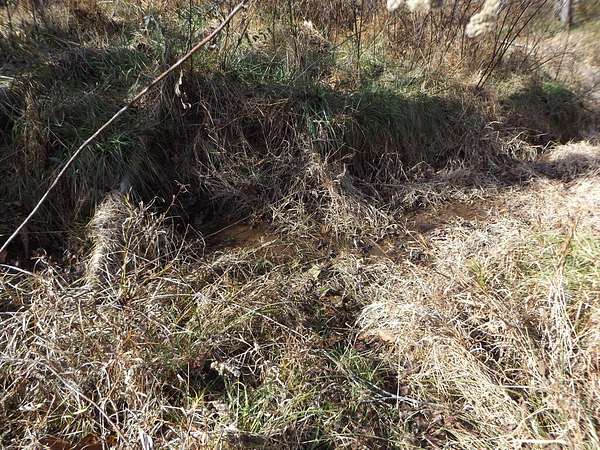
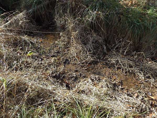
Est $1,456/mo21.038 +/- unrestricted fenced in acres with long range views with spring on the property! Property has perimeter fencing, power is available, spring running through the property for livestock, long range views with a beautiful view of the Buffalo Mountain and long road frontage! Land lays very well and could be used for farming, build that dream home on or even subdivided if you would like! Don't miss out on this nice tract that lays very well and ready for its new owner between Hillsville and Meadows of Dan and within minutes to the Blue Ridge Parkway!
Location
- Street address
- Fireside Dr, Lot 1
- County
- Carroll County
- Zip code
- 24352
- Elevation
- 2,805 feet
Directions
From the stoplight at the intersection of Hwys 58 & 52 in Hillsville, travel Hwy 58 East to Maple Shade Rd. on the left. Travel to Fireside Dr. on the left and property will be on the left.
Property details
- Acreage
- 21.038 acres
- MLS #
- SWVAR 112696
- Posted
Property taxes
- 2026
- $593
Details and features
Listing
- Type
- Land
Lot
- Waterfront
- Yes
- Features
- Farm, Views
Exterior
- Fencing
- Fenced
Property utilities
| Category | Type | Status |
|---|---|---|
| Power | Grid | Available |
Nearby schools
| Name | Type |
|---|---|
| Gladesboro | Elementary |
| Carroll County Intermediate | Middle |
| Carroll County | High |
Listing history
| Date | Event | Price | Change | Source |
|---|---|---|---|---|
| Nov 13, 2026 | New listing | $199,900 | — | SWVAR |
Payment calculator
Contact listing agent
By submitting, I agree to the terms of use and to be contacted by . Message and data rates may apply.