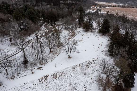
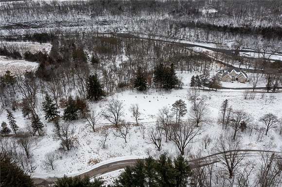
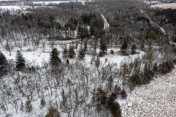
3.7 Acres of Residential Land for Sale in Cannon Falls, Minnesota
Forest Rd Block 1 Lot 5, Cannon Falls, MN 55009
Images
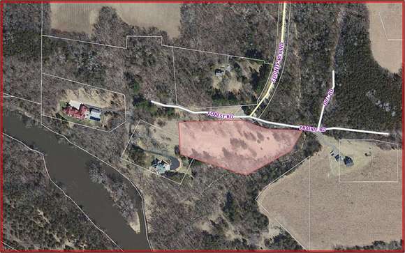
Map
Street


$250,000
3.7 acres
Active sale agoEst $2,628/mo
One of 10 executive lots which are part of a 130 acre association located on the Cannon River. Located just East of Cannon Falls on black top roads. Less than an hour to downtown St Paul or MSP airport.
Directions
East of Cannon Falls on Co. Rd. 17 to Co. Rd. 40, left on Forest Road. No Signage
Property details
- County
- Goodhue County
- Community
- Mineral Springs
- Zoning
- Residential-Single Family
- Elevation
- 794 feet
- MLS Number
- RMLS 6470167
- Date Listed
Legal description
MINERAL SPRINGS Lot-005 Block-001 1.78 AC LOT 5 BLK 1 DOC# 19455
Parcels
- 281350050
Expenses
- Home Owner Assessments Fee
- $600 annually
Detailed attributes
Listing
- Type
- Lots And Land
- Franchise
- Berkshire Hathaway HomeServices
Listing history
| Date | Event | Price | Change | Source |
|---|---|---|---|---|
| Dec 20, 2023 | New listing | $250,000 | — | RMLS |
Payment calculator
James Althoff
Berkshire Hathaway HomeServices Lovejoy Realty
Contact listing agent
By submitting, you agree to the terms of use, privacy policy, and to receive communications.