Skip to main content
Skip to navigation
Properties
Find agent
Post listing
Log in
•
Sign up
Search here
List
Cherry, AZ land for sale
Price
Size
Tags
Save
14 properties
Updated
For you
Newest
Price: high to low
Price: low to high
Size: large to small
Size: small to large
Updated
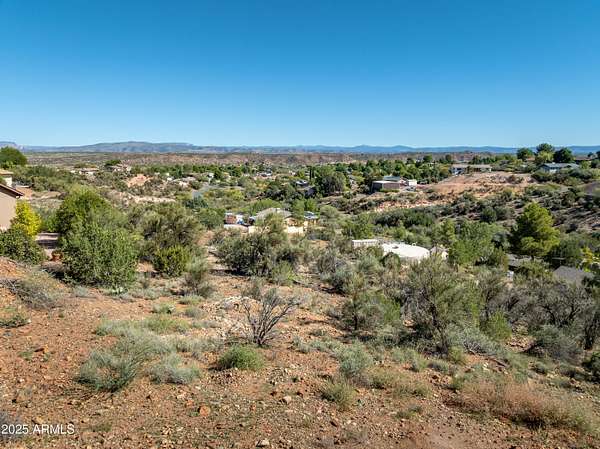
33 days ago
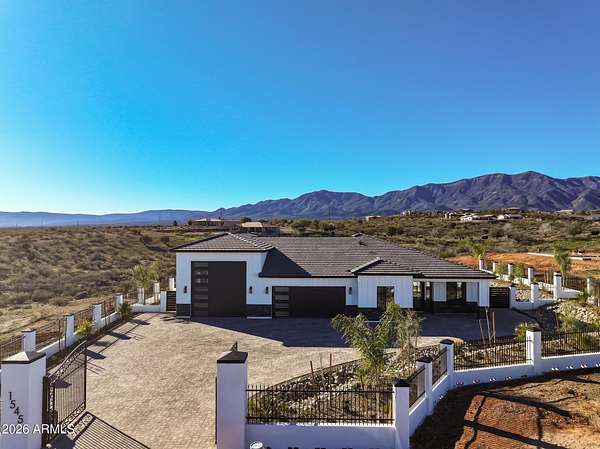
$1,350,000
2.12 acres
Yavapai County
3 bd, 2 ba
•
1,928 sq ft
Cottonwood, AZ 86326
1 day
$4,600,000
80 acres
Yavapai County
Cottonwood, AZ 86326
Pending
Under contract
$5,900,000
196 acres
Yavapai County
Dewey-Humboldt, AZ 86327
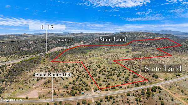
6 months ago
$179,000
7 acres
Yavapai County
Dewey-Humboldt, AZ 86327
10 days
$89,000
1.7 acres
Yavapai County
Cottonwood, AZ 86326
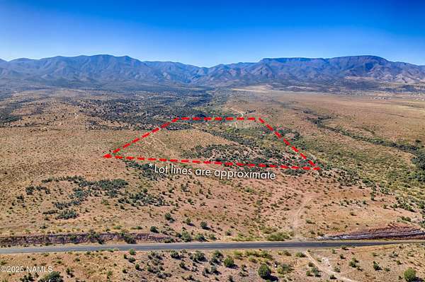
22 months ago
$118,150
1.57 acres
Yavapai County
Cottonwood, AZ 86326
11 days
$219,000
2.42 acres
Yavapai County
Cottonwood, AZ 86326
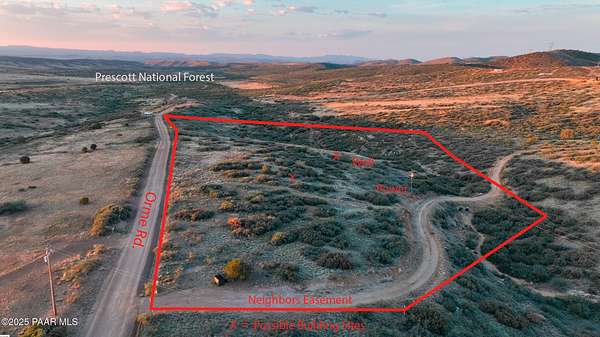
11 days
$112,000
1.69 acres
Yavapai County
Cottonwood, AZ 86326
13 months ago
$219,000
2.42 acres
Yavapai County
Cottonwood, AZ 86326
2 months ago
$70,000
0.65 acres
Yavapai County
Cottonwood, AZ 86326
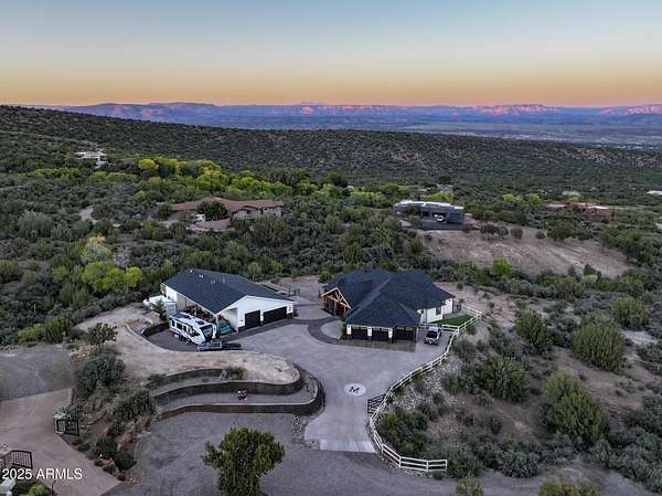
2 months ago
$1,875,000
2 acres
Yavapai County
4 bd, 3 ba
•
3,673 sq ft
Cottonwood, AZ 86326
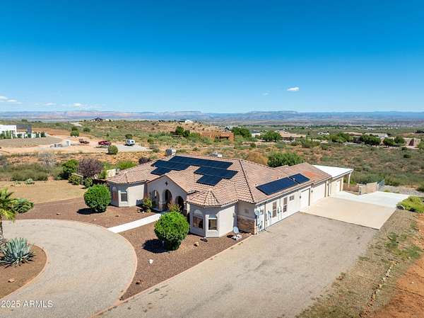
$50k drop • Oct 27
$1,350,000
5 acres
Yavapai County
4 bd, 4 ba
•
3,087 sq ft
Cottonwood, AZ 86326
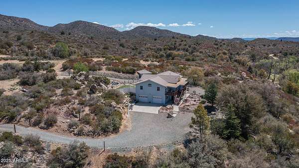
8 months ago
$1,095,000
3.36 acres
Yavapai County
4 bd, 3 ba
•
3,408 sq ft
Dewey, AZ 86327
7 months ago
$199,900
9.69 acres
Yavapai County
Prescott Valley, AZ 86315
Map