Properties
Find agent
Post property
Log in
Sign up
Search here
List
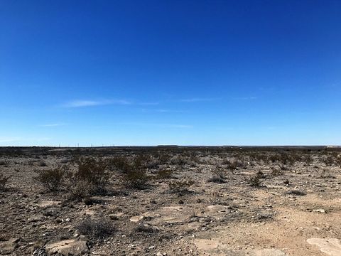
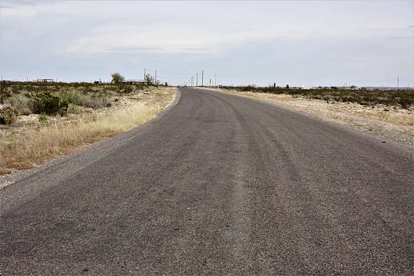
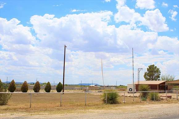
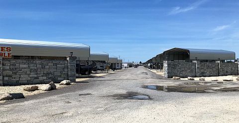
Fort Stockton, TX land for sale
Price
Size
Filters
Save search
42 properties
For you
For you
Newest
Price hi-lo
Price lo-hi
Size hi-lo
Size lo-hi
Updated
5 months ago
$399,000
34.5 acres
Pecos County
Fort Stockton, TX 79735
18 months ago
$475,000
4.6 acres
Pecos County
Fort Stockton, TX 79735
$-8000 drop • Oct 16
$267,999
5 acres
Pecos County
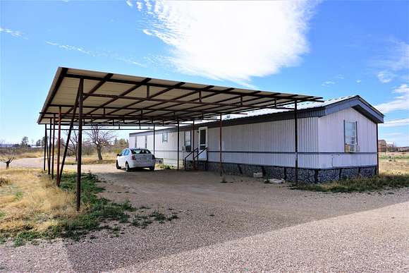
3 bd, 2 ba • 2,652 sq ft
Fort Stockton, TX 79735
$6k drop • Sept 28
$1,057,500
705 acres
Pecos County
Fort Stockton, TX 79735
25 days
$39,000
10 acres
Pecos County
Fort Stockton, TX 79735
$35k drop • Oct 16
$100,000
5 acres
Pecos County
2 bd, 1 ba • 784 sq ft
Fort Stockton, TX 79738
5 months ago
$900,000
5.6 acres
Pecos County
6,676 sq ft
Fort Stockton, TX 79735
9 months ago
$290,000
22 acres
Pecos County
Fort Stockton, TX 79735
9 months ago
$1,200,000
5 acres
Pecos County
Fort Stockton, TX 79735
18 months ago
$475,000
5 acres
Pecos County
Fort Stockton, TX 79735
14 months ago
$385,000
4.54 acres
Pecos County
Fort Stockton, TX 79735
2 months ago
$35,000
0.3 acres
Pecos County
Fort Stockton, TX 79735
2 months ago
$35,000
0.45 acres
Pecos County
Fort Stockton, TX 79735
9 months ago
$120,000
0.8 acres
Pecos County
Fort Stockton, TX 79735
3 months ago
$539,000
40.6 acres
Pecos County
2,400 sq ft
Fort Stockton, TX 79735
4 months ago
$230,000
1.5 acres
Pecos County
Fort Stockton, TX 79735
$4k drop • Oct 13
$55,500
20.6 acres
Pecos County
Fort Stockton, TX 79735
3 years ago
$4,418,325
1,964 acres
Pecos County
Fort Stockton, TX 79735
38 days ago
$74,900
7.66 acres
Pecos County
Fort Stockton, TX 79735
2 years ago
$255,000
2 acres
Pecos County
3 bd, 1 ba • 1,508 sq ft
Fort Stockton, TX 79735
3 years ago
$5,500,000
29 acres
Pecos County
— sq ft
Fort Stockton, TX 79735
13 months ago
$20,000
20 acres
Pecos County
Fort Stockton, TX 79772
2 years ago
$325,000
10.6 acres
Pecos County
Fort Stockton, TX 79735
2 years ago
$297,000
45 acres
Pecos County
Fort Stockton, TX 79735
20 months ago
$340,000
5 acres
Pecos County
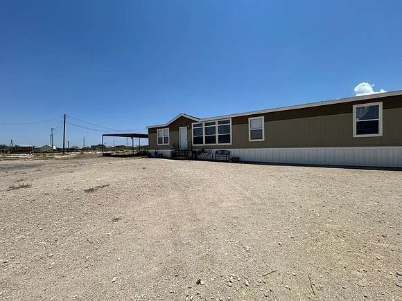
4 bd, 2 ba • 2,778 sq ft
Fort Stockton, TX 79735
3 years ago
$1,504,500
885 acres
Pecos County
Fort Stockton, TX 79735
1 day
$12,000
1 acre
Pecos County
Fort Stockton, TX 79735
21 months ago
$129,900
2.44 acres
Pecos County
3 bd, 2 ba • 1,216 sq ft
Fort Stockton, TX 79735
5 years ago
$637,440
106 acres
Pecos County
Fort Stockton, TX 79735
24 days
$299,900
2 acres
Pecos County
4 bd, 2 ba • 2,084 sq ft
Fort Stockton, TX 79735
2 months ago
$20,000
0.28 acres
Pecos County
Fort Stockton, TX 79735
2 months ago
$312,000
2 acres
Pecos County
4 bd, 2 ba • 2,084 sq ft
Fort Stockton, TX 79735
$5k drop • Nov 22
$220,000
10 acres
Pecos County
4 bd, 2 ba • 3,800 sq ft
Fort Stockton, TX 79735
37 days ago
$125,000
20 acres
Pecos County
Fort Stockton, TX 79735
2 months ago
$40,000
0.28 acres
Pecos County
Fort Stockton, TX 79735
2 months ago
$40,000
0.28 acres
Pecos County
Fort Stockton, TX 79735
3 months ago
$145,000
133 acres
Pecos County
Fort Stockton, TX 79735
$15k drop • Sept 23
$75,000
0.43 acres
Pecos County
Fort Stockton, TX 79735
pending
Under contract
$55,350
18 acres
Pecos County
Fort Stockton, TX 79735
7 months ago
$100,000
40 acres
Pecos County
Fort Stockton, TX 79735
$2.1k drop • Oct 12
$9,500
20 acres
Pecos County
Fort Stockton, TX 79735
10 months ago
$800,000
2.12 acres
Pecos County
Hewitt, TX 76643
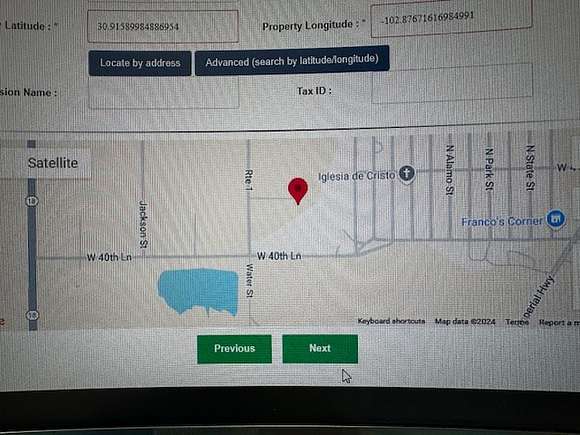
View map