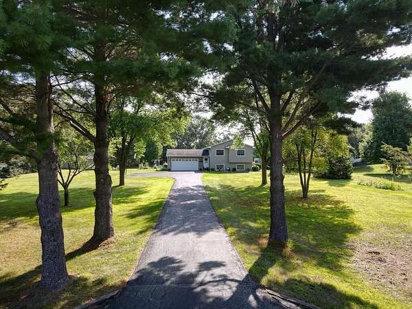
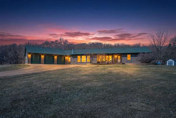
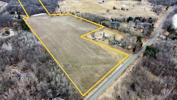
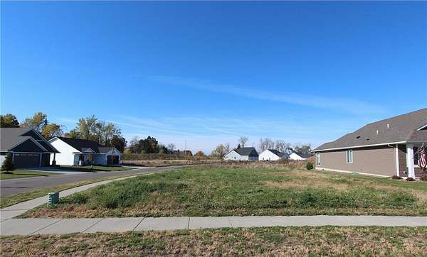
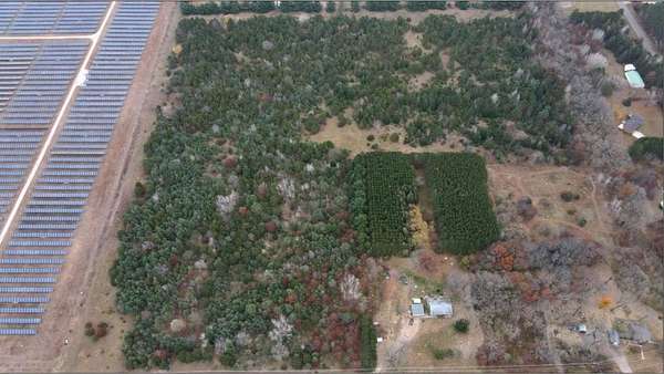
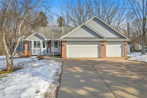
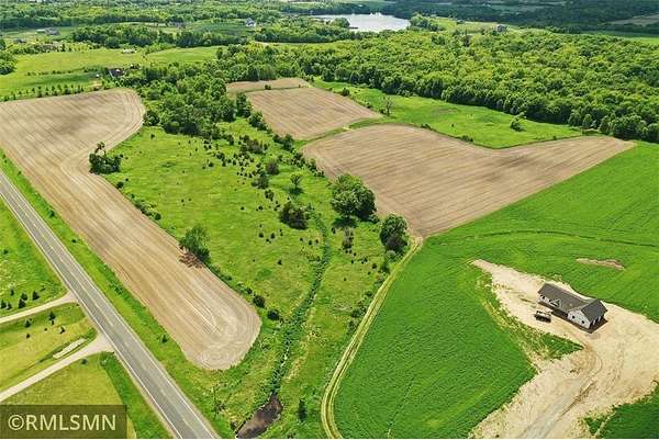
27 days$50k drop • Mar 22$599,9004.64 acresChisago County4 bd, 2 ba • 1,767 sq ftChisago City, MN 55013
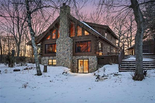
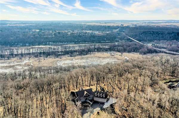
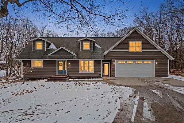
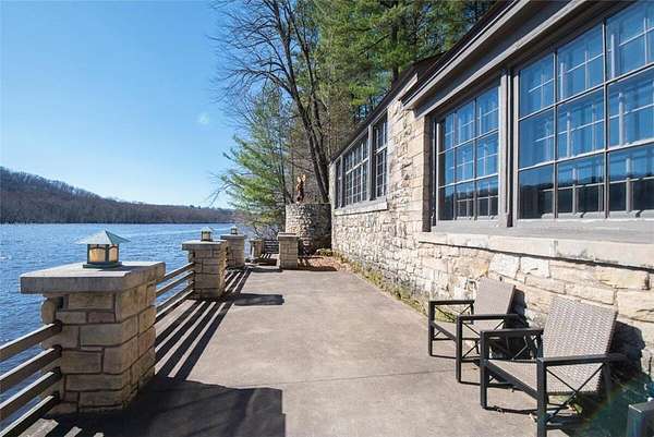
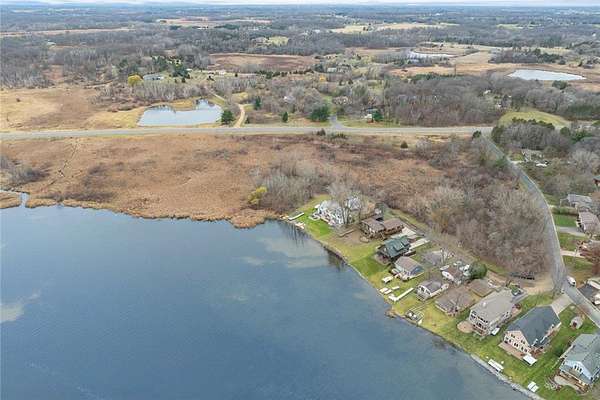
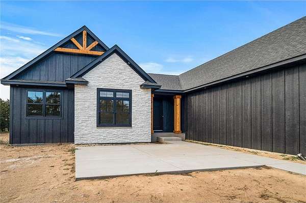
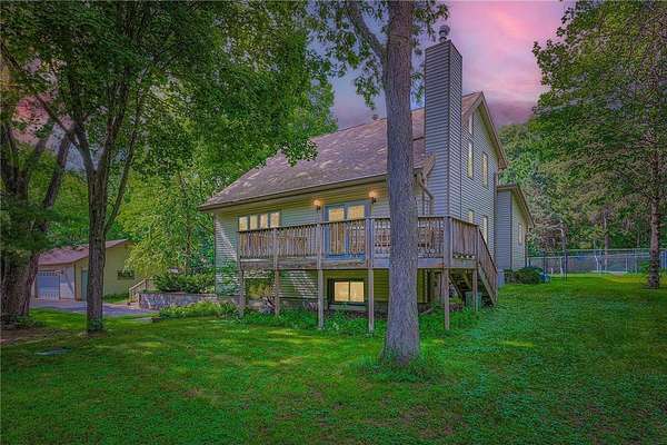
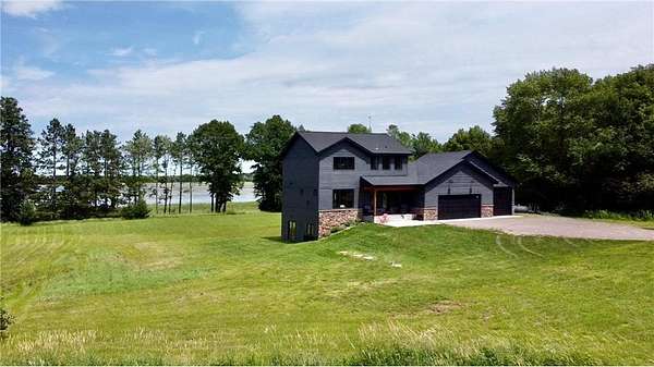
42 days ago$1,899,0002.19 acresWashington County4 bd, 3 ba • 3,774 sq ftMarine on St. Croix, MN 55047
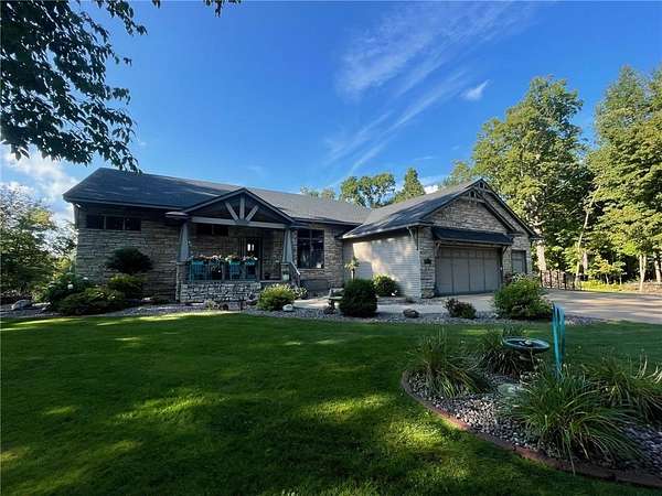
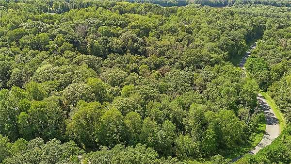
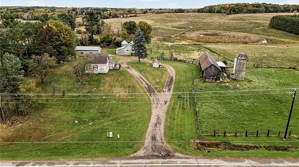
PendingUnder contract$999,90043.2 acresChisago County4 bd, 2.5 ba • 3,099 sq ftChisago Lake Township, MN 55013
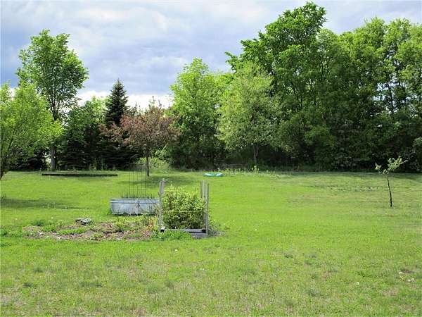
PendingUnder contract$399,9003.3 acresChisago County2 bd, 1.5 ba • 1,108 sq ftFranconia Township, MN 55074
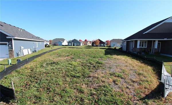
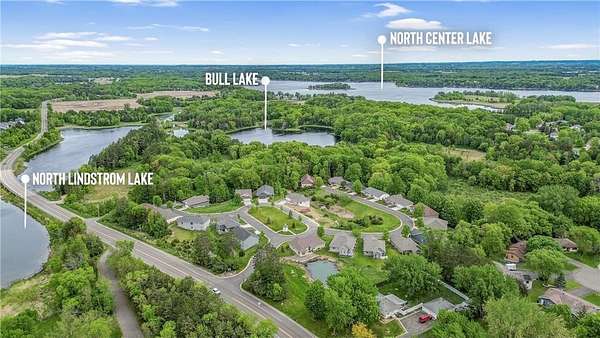
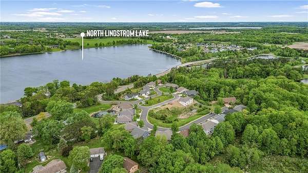
PendingUnder contract$524,0002.24 acresWashington County3 bd, 3 ba • 2,325 sq ftForest Lake, MN 55025
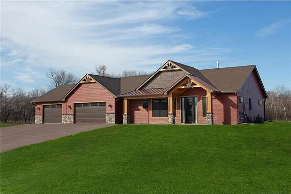
PendingUnder contract$699,7001.88 acresChisago County6 bd, 3.5 ba • 3,424 sq ftFranconia Township, MN 55074
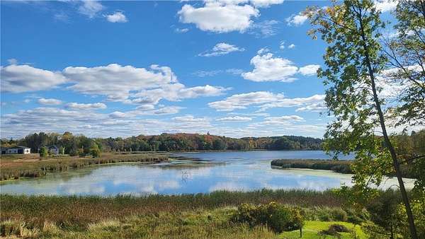
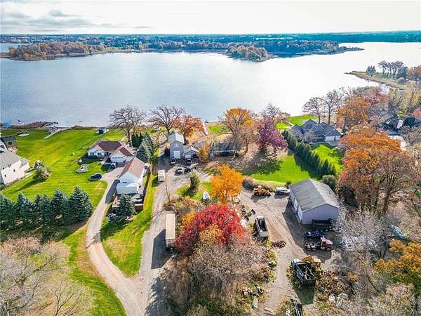
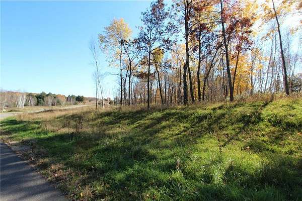
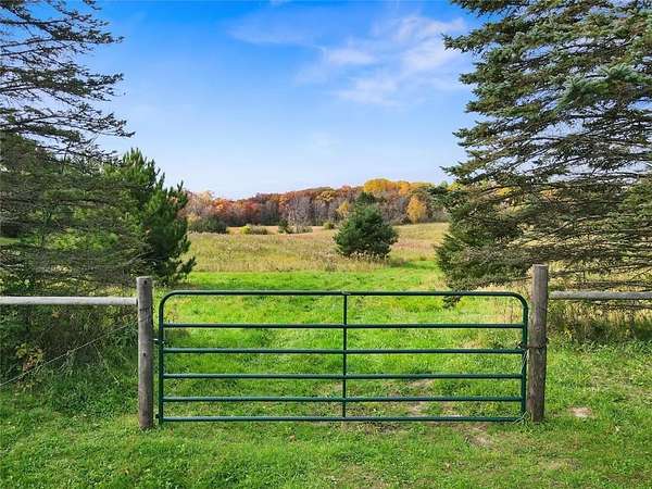
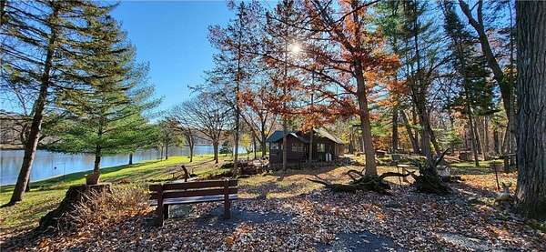
PendingUnder contract$990,00052.3 acresWashington County4 bd, 1 ba • 1,256 sq ftMay Township, MN 55047