Recreational Land & Farm for Sale in Talihina, Oklahoma
Gps: 34.83867 -94.98356 Talihina, OK 74571


23.3 Acre Recreational Property - Winding Stair Mountains
Location: This property is nestled in a remote and secluded setting just North of the Winding Stair Mountain Range. The property is surrounded by miles of privately owned timberlands and is roughly 2.5 miles from the western edge of the 1.5 million acre Ouachita National Forest, which provides excellent hunting opportunities for whitetail deer, eastern wild turkey, black bear, wild hog and other small game as well as access to an impressive network of ATV, hiking and horseback riding trails that are operated and maintained by the US Forest Service. This property is located roughly 3 miles from the West entrance to the Talihina Scenic Drive, which is a National Scenic By-way in south-eastern Oklahoma and extreme western Arkansas spanning a 54 mile stretch of road traveling down the top of several mountain ranges. Near-by towns include Talihina, Hochatown, Broken Bow and Poteau. This property is about a 3.5 hour drive from Dallas, Texas.
GPS Coordinates: 34.83867, -94.98356
Restrictions: No Deed Restrictions
Property Access: The property is accessed by a logging road.
Services to Property: This is off-grid property meaning that there is not access to public utilities in the immediate area. Instead of relying on traditional infrastructure, off-grid properties generate their own power through renewable energy sources. Off-grid properties might also use alternative methods for water supply such as rainwater harvesting and water wells. Also it is feasible to build ponds in some mountainous areas.
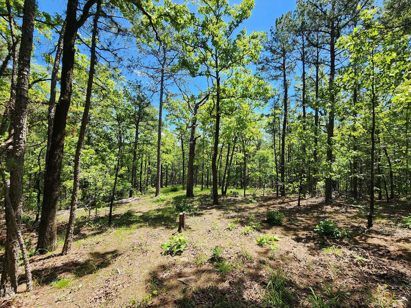
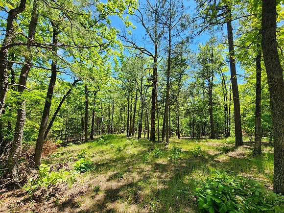
Land: There are 23.3 surveyed acres of land included in this transaction. All the property corners are marked. The land is completely covered in a stand of timber that is native to southeastern Oklahoma including some nice saw log size native shortleaf pine trees and mature native hardwood timber. The West side of the property fronts a logging road (Bear Creek Road). The terrain is flat to gently sloping with some areas that would be ideal for construction of an off-grid cabin with a mountain view. Wildlife are frequently seen in this area. Additionally, there is an ATV trail that leads to near the center of the property
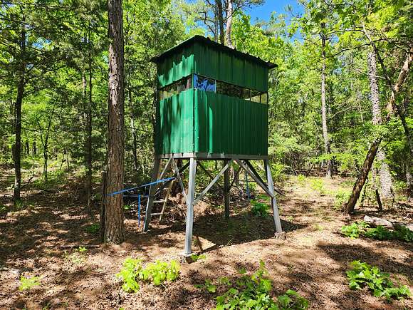
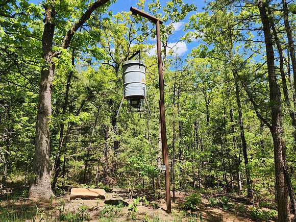
Hunting Stands & Deer Feeder: There are a couple of nice deer stands and a bear proof deer feeder. All of this will convey to the new buyer except for the barrel feeder.
Location
- Street Address
- Gps: 34.83867 -94.98356
- County
- Le Flore County
- Elevation
- 778 feet
Property details
- Date Posted
Listing history
| Date | Event | Price | Change | Source |
|---|---|---|---|---|
| Dec 5, 2024 | Relisted | $93,200 | — | — |
| Nov 25, 2024 | Listing removed | $93,200 | — | — |
| Nov 4, 2024 | Price drop | $93,200 | $11,650 -11.1% | — |
| Apr 24, 2024 | New listing | $104,850 | — | — |
