Properties
Find agent
Post property
Log in
Sign up
Search here
List
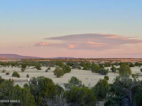
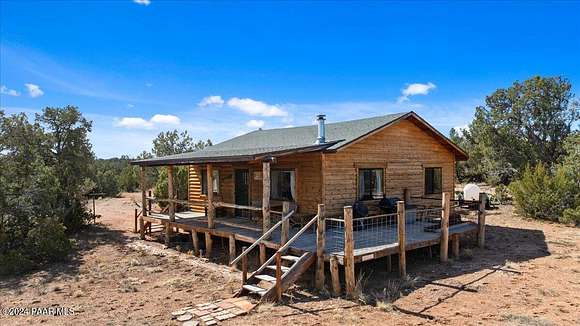
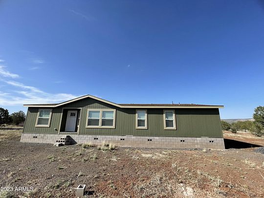
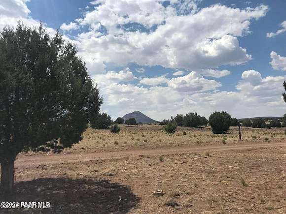
Ash Fork, AZ land for sale
Price
Size
Filters
Save search
177 properties
For you
For you
Newest
Price hi-lo
Price lo-hi
Size hi-lo
Size lo-hi
Updated
23 days
$2.1k drop • Dec 5
$26,900
1.29 acres
Coconino County
Ash Fork, AZ 86046
58 days ago
$27,500
10 acres
Yavapai County
Ash Fork, AZ 86320
46 days ago
$69,000
41 acres
Coconino County
Ash Fork, AZ 86320
4 days
$29,900
2.2 acres
Coconino County
Ash Fork, AZ 86046
23 days
$210,000
13.4 acres
Yavapai County
1 bd, 1 ba • 661 sq ft
Ash Fork, AZ 86320
47 days ago
$510,000
10 acres
Coconino County
2 bd, 2 ba • 1,336 sq ft
Ash Fork, AZ 86046
2 months ago
$11,000
2.45 acres
Coconino County
Ash Fork, AZ 86046
19 days
$99,000
4.82 acres
Coconino County
Ash Fork, AZ 86320
2 months ago
$375,000
10 acres
Yavapai County
1 bd, 1 ba • 1,484 sq ft
Ash Fork, AZ 86320
54 days ago
$38,000
20 acres
Coconino County
Ash Fork, AZ 86320
2 months ago
$49,995
41 acres
Yavapai County
Ash Fork, AZ 86320
12 days
$42,900
3.45 acres
Yavapai County
Ash Fork, AZ 86046
44 days ago
$269,000
5 acres
Coconino County
3 bd, 2 ba • 1,080 sq ft
Ash Fork, AZ 86046
$15k drop • Oct 2
$100,000
80 acres
Yavapai County
Ash Fork, AZ 86320
32 days ago
$60,000
40 acres
Yavapai County
Ash Fork, AZ 86320
37 days ago
$48,000
5.64 acres
Coconino County
Ash Fork, AZ 86046
4 months ago
$44,900
10.6 acres
Coconino County
Ash Fork, AZ 86320
$5.1k drop • Oct 25
$34,900
2.27 acres
Coconino County
Ash Fork, AZ 86046
3 months ago
$19,900
1.79 acres
Yavapai County
Ash Fork, AZ 86320
5 months ago
$61,750
4.4 acres
Coconino County
Ash Fork, AZ 86046
17 months ago
$27,500
10 acres
Yavapai County
Ash Fork, AZ 86320
32 days ago
$48,000
10 acres
Yavapai County
Ash Fork, AZ 86320
17 months ago
$27,500
10 acres
Yavapai County
Ash Fork, AZ 86320
39 days ago
$30,000
29 acres
Coconino County
Ash Fork, AZ 86320
2 months ago
$32,000
10.3 acres
Yavapai County
Ash Fork, AZ 86320
12 days
$43,900
10 acres
Yavapai County
Ash Fork, AZ 86320
$5k drop • Nov 25
$194,900
30 acres
Yavapai County
1 bd, 1 ba • 960 sq ft
Ash Fork, AZ 86320
$12k drop • Oct 18
$74,000
14 acres
Yavapai County
Ash Fork, AZ 86320
12 days
$49,900
10 acres
Yavapai County
Ash Fork, AZ 86320
32 days ago
$50,000
10 acres
Yavapai County
Ash Fork, AZ 86320
2 months ago
$58,000
40 acres
Coconino County
Ash Fork, AZ 86320
2 months ago
$23,499
10 acres
Yavapai County
Ash Fork, AZ 86320
2 months ago
$32,000
10.4 acres
Yavapai County
Ash Fork, AZ 86320
2 months ago
$315,000
21 acres
Yavapai County
2 bd, 2 ba • 1,232 sq ft
Ash Fork, AZ 86320
3 months ago
$190,000
2.17 acres
Coconino County
1 bd, 1 ba • 616 sq ft
Ash Fork, AZ 86046
6 months ago
$50,000
37.5 acres
Coconino County
Ash Fork, AZ 86320
$25k drop • Dec 11
$190,000
80 acres
Yavapai County
Ash Fork, AZ 86320
21 months ago
$399,750
10 acres
Coconino County
4 bd, 2 ba • 1,493 sq ft
Ash Fork, AZ 86320
5 months ago
$223,000
59 acres
Yavapai County
Ash Fork, AZ 86320
5 months ago
$52,800
20 acres
Yavapai County
Ash Fork, AZ 86320
7 months ago
$60,000
40 acres
Yavapai County
Ash Fork, AZ 86320
7 months ago
$60,000
40 acres
Yavapai County
Ash Fork, AZ 86320
$5k drop • Oct 9
$40,000
2.87 acres
Coconino County
Ash Fork, AZ 86320
19 months ago
$262,500
20 acres
Yavapai County
2 bd, 1 ba • 900 sq ft
Ash Fork, AZ 86320
21 months ago
$492,500
10 acres
Coconino County
3 bd, 2 ba • 1,838 sq ft
Ash Fork, AZ 86320
36 days ago
$22,000
10 acres
Yavapai County
Ash Fork, AZ 86320
$5k drop • Dec 5
$42,900
4.77 acres
Yavapai County
Ash Fork, AZ 86320
7 months ago
$148,500
10 acres
Yavapai County
300 sq ft
Ash Fork, AZ 86320
$2.5k drop • Oct 23
$24,999
20 acres
Yavapai County
Ash Fork, AZ 86320
46 days ago
$50,000
40 acres
Yavapai County
Ash Fork, AZ 86320
1
2
3
4
1-50 of 177 properties
View map