


Land for Sale in Robbins, Tennessee
Honey Creek Loops Rd, Robbins, TN 37852
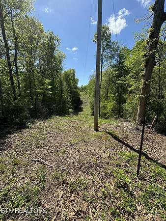
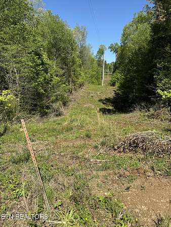
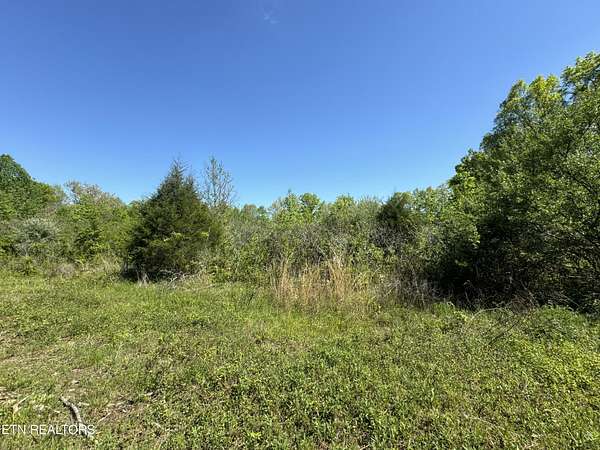
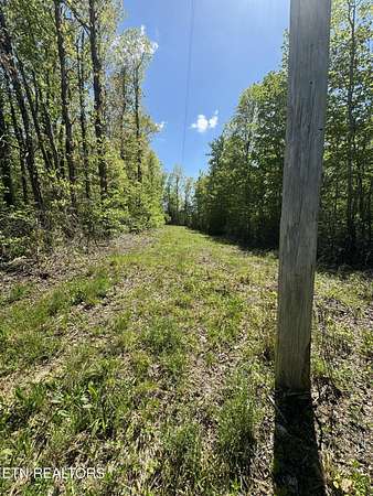
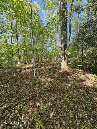
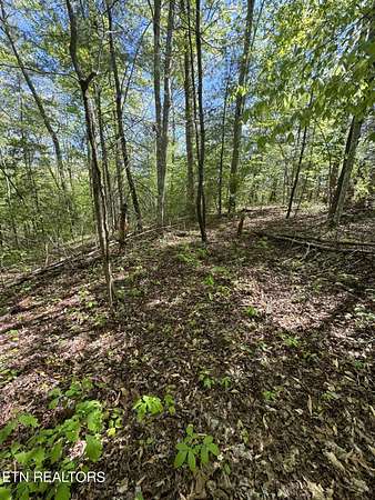
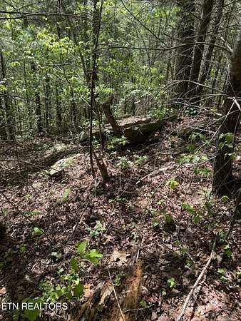
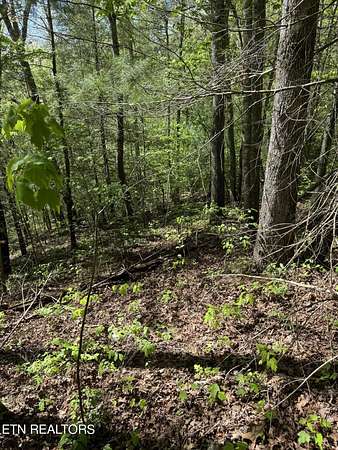
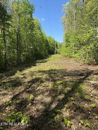
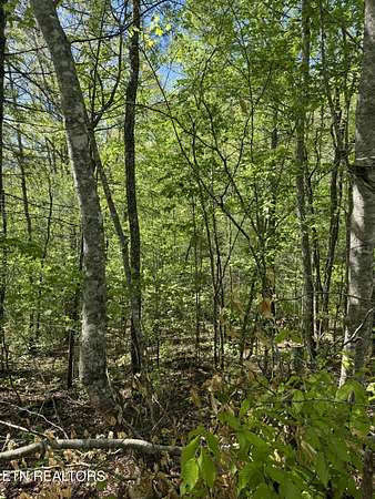
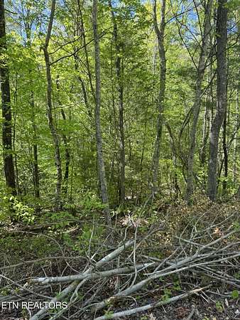
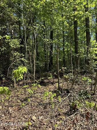
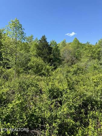
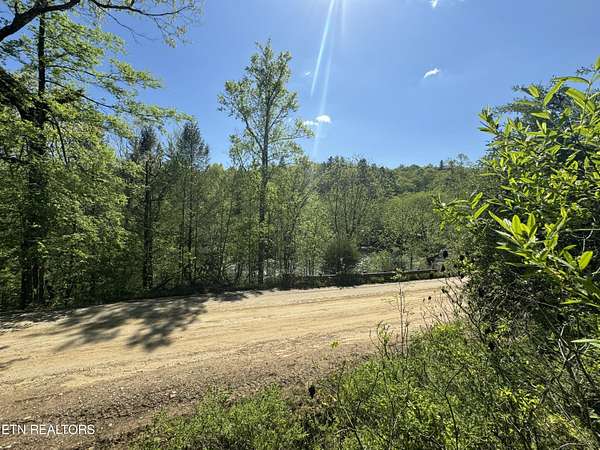
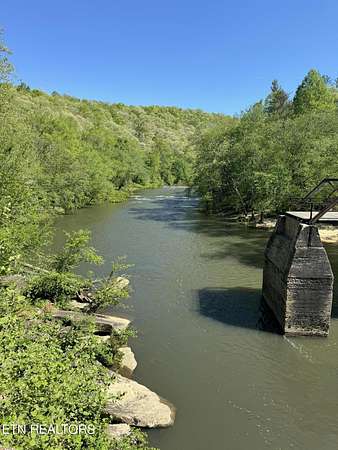
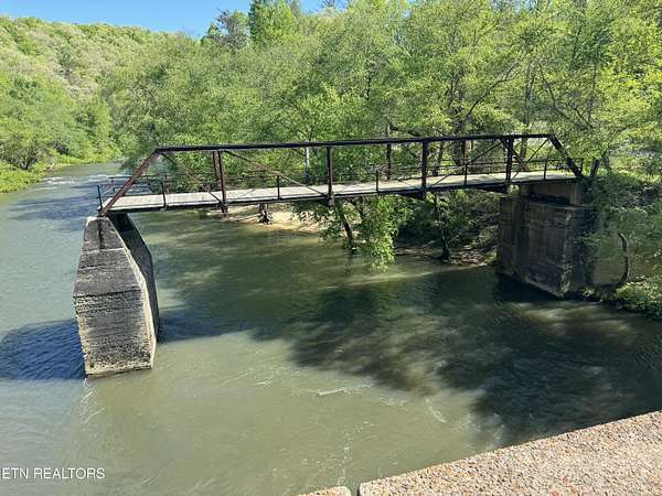
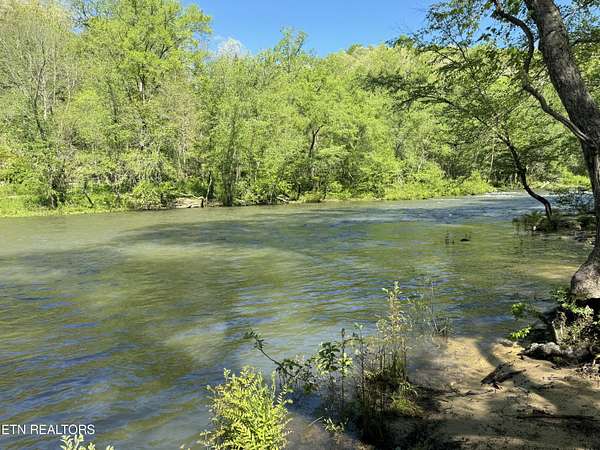
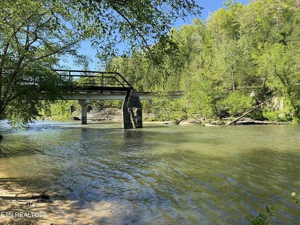
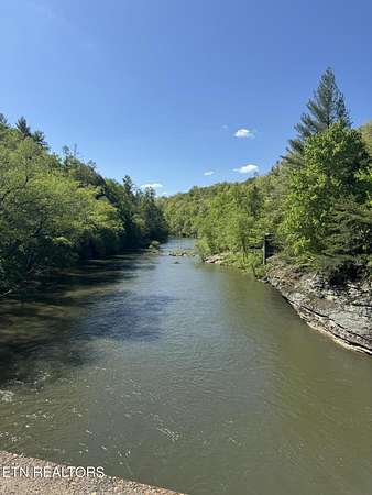
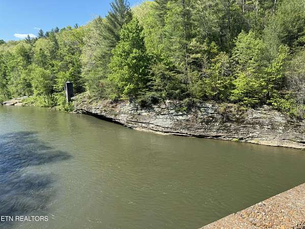
If you're looking for property overlooking a river, then this is a property you must see. The property is wooded but with some trees cleared it overlooks Clear Fork River and the Burnt Mill Bridge at the Big South Fork National River and Recreation Area. This would make a wonderful homesite or a great place for cabins.
Location
- Street address
- Honey Creek Loops Rd
- County
- Scott County
- Elevation
- 1,355 feet
Directions
From I-75 exit #141 Oneida/Huntsville take Hwy 63W and go 20 miles. Turn left on Hwy 27 and go 5.2 miles. Turn right on Old US Hwy 27 to Mountain View and go .7 miles. Turn left on Volunteer Dr and go .1 mile. Turn left on Mt View Rd and go 2.3 miles. Turn right on Al Martin Rd and go .8 miles to the power line easement and enter property through that legal easement. The property can also be seen from Honey Creek Loop Rd on the right if you go .3 miles from the Y-intersection off Al Martin Rd.
Property details
- Acreage
- 22.6 acres
- Zoning
- Zoned Residential, Zoned Agricultural
- MLS #
- KAARMLS 1261730
- Posted
Property taxes
- Recent
- $129
Parcels
- 092 011.00
- 092 011.03
Details and features
Listing
- Type
- Land
- Franchise
- Independent
Lot
- Features
- Irregular Lot, Private, Rolling, Rolling Slope, Wooded
Listing history
| Date | Event | Price | Change | Source |
|---|---|---|---|---|
| Apr 30, 2025 | Price drop | $199,000 | $27,000 -11.9% | KAARMLS |
| May 4, 2024 | New listing | $226,000 | — | KAARMLS |
Payment calculator

Copyright © 2026 East Tennessee Realtors®. All rights reserved. All information provided by the listing agent/broker is deemed reliable but is not guaranteed and should be independently verified.