Images
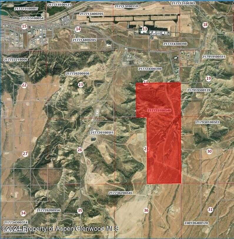
Map
Land for Sale in Rifle, Colorado
Hunter Mesa ''Bottom S, Rifle, CO 81650
$2,000,000
528 acres
Active
Est $15,841/mo''Bottom South (in 35s)'' - 528 acres Water rights are deeded to the city as part of development approvals. Mineral rights to be excluded from property sale.
Location
- Street address
- Hunter Mesa ''Bottom S
- County
- Garfield County
- Community
- Rifle
- Elevation
- 5,689 feet
Directions
County Rd 333 and Hunter Mesa Shop.
Property details
- Acreage
- 528 acres
- Zoning
- PUD
- MLS #
- AGSMLS 182407
- Posted
Property taxes
- 2023
- $26,289 - Quarter: NE Section: 25 Township: 6 Range: 93 NE, SE Section: 24 EAST 866.27' OF THE SW SE
Parcels
- 217725100546
Legal description
Quarter: NE Section: 25 Township: 6 Range: 93 NE, SE Section: 24 EAST 866.27' OF THE SW SE
Listing history
| Date | Event | Price | Change | Source |
|---|---|---|---|---|
| Jan 15, 2026 | Back on market | $2,000,000 | — | AGSMLS |
| Apr 29, 2025 | Under contract | $2,000,000 | — | AGSMLS |
| Sept 10, 2024 | New listing | $2,000,000 | — | AGSMLS |
Payment calculator
Contact listing agent
By submitting, I agree to the terms of use and to be contacted by real estate professionals. Message and data rates may apply.