Image
Map
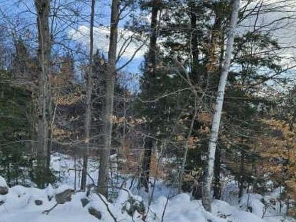
Land for Sale in Weare, New Hampshire
Huntington Hill Rd, Weare, NH 03281
$180,000
11 acres
Active sale
Est $1,416/moLand is +/- 11.23 acres offering privacy and an opportunity for stunning views. Approximately 751 ft road frontage class VI road.
Location
- Street address
- Huntington Hill Rd
- County
- Hillsborough County
- Zip code
- 03281
- School district
- Weare
- Elevation
- 639 feet
Directions
Route 114 to River Road. Turn left on Barnard Hill Road which becomes Bart Clough Road. Turn Right onto Huntington Hill Road (Class VI, dirt road). Stay to the right of the tree farm. Property begins after the tree line and stone wall.
Property details
- Acreage
- 11 acres
- Zoning
- Residential
- MLS #
- NNEREN 5064443
- Posted
Parcels
- 06224-000406000069000000
Details and features
Listing
- Type
- Land
- Franchise
- Coldwell Banker Real Estate
Lot
- Features
- Wooded
Nearby schools
| Name | Type | District |
|---|---|---|
| Center Woods Elementary School | Elementary | Weare |
| Weare Middle School | Middle | Weare |
| John Stark Regional HS | High | Weare |
Listing history
| Date | Event | Price | Change | Source |
|---|---|---|---|---|
| Oct 6, 2025 | New listing | $180,000 | — | NNEREN |
Payment calculator
Contact listing agent
By submitting, I agree to the terms of use and to be contacted by . Message and data rates may apply.