Land for Auction in Randalia, Iowa
Iowa Hwy 93, Randalia, IA 52164
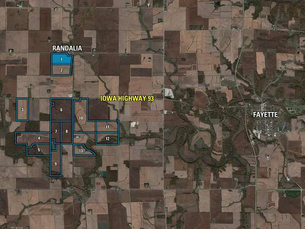
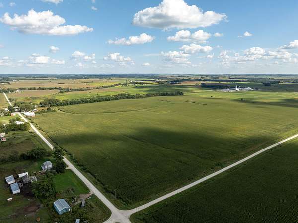
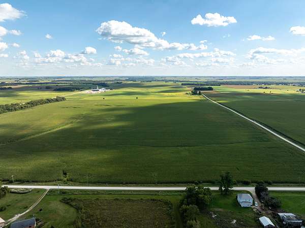
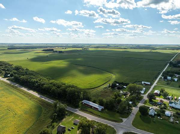
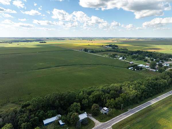
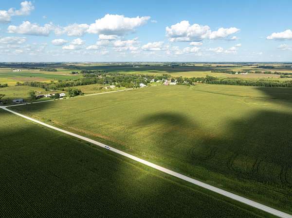
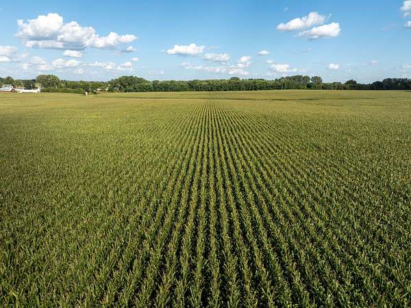
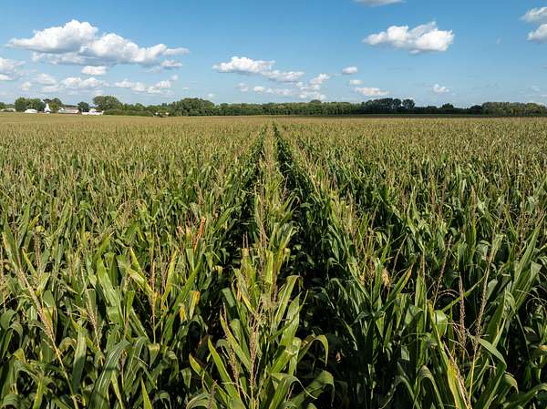
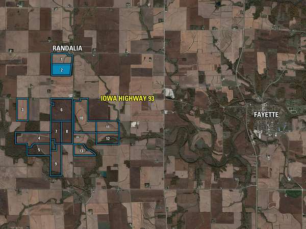
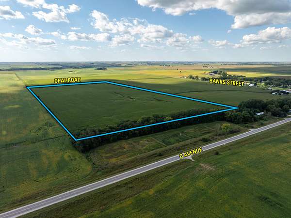
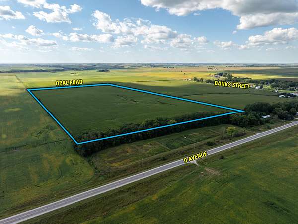
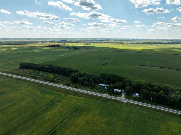
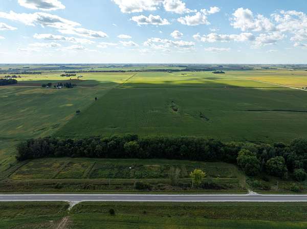
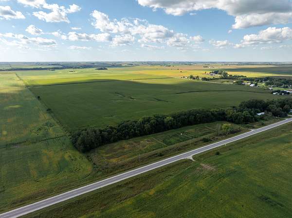
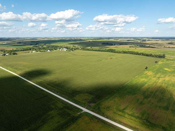
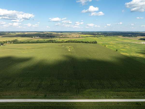
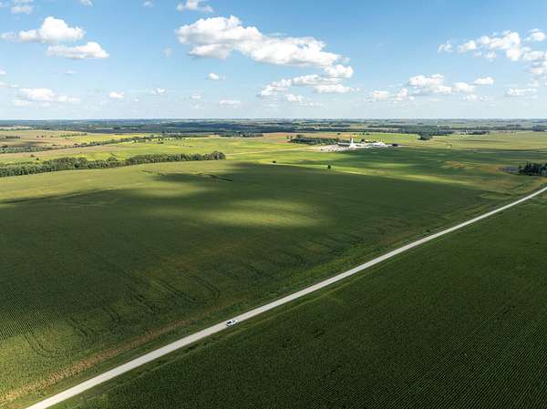
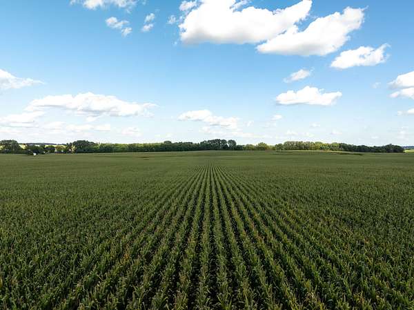
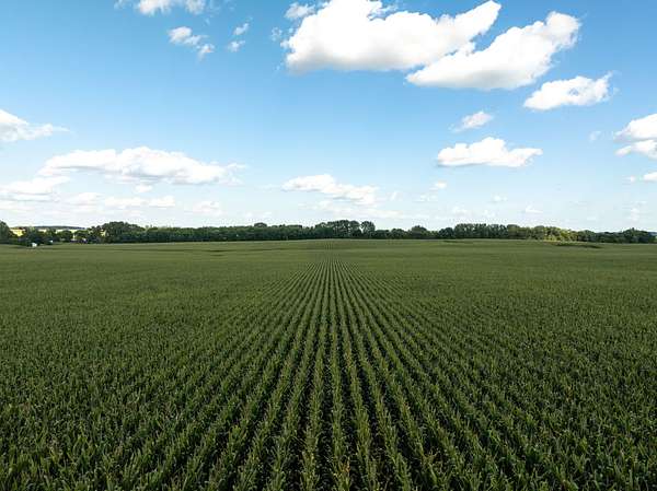
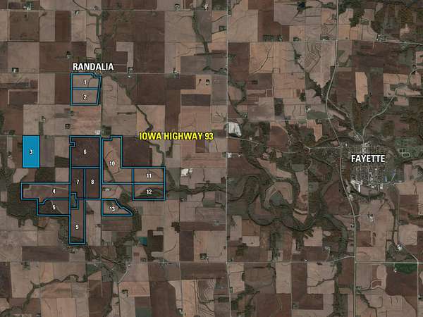
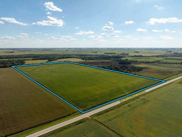
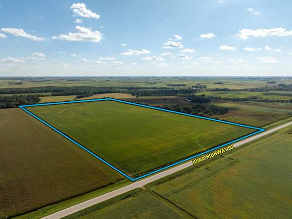
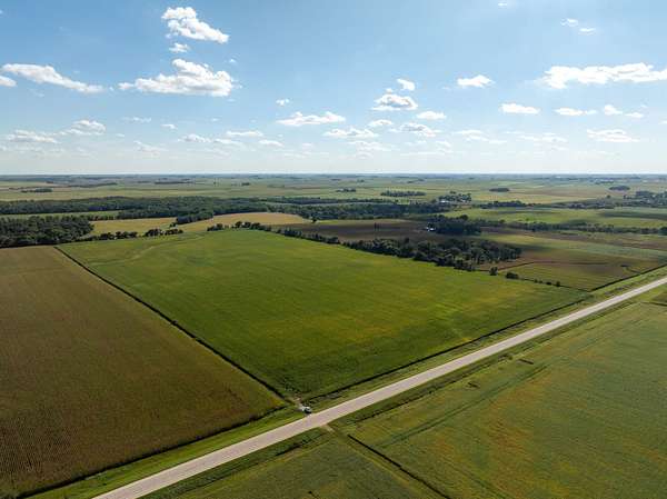
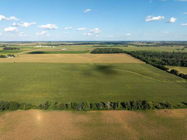
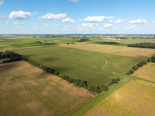
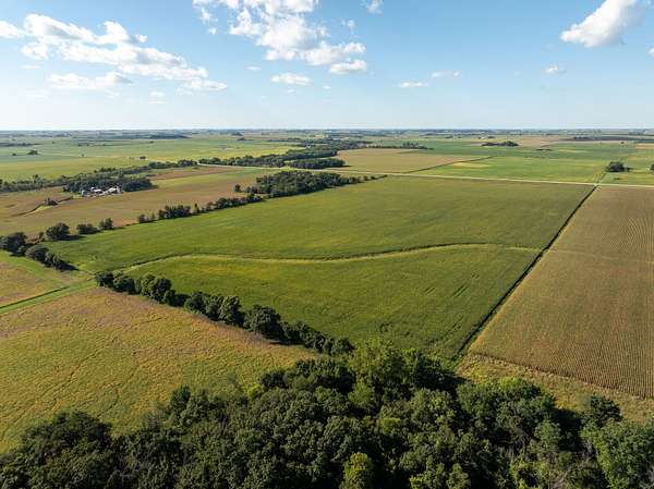
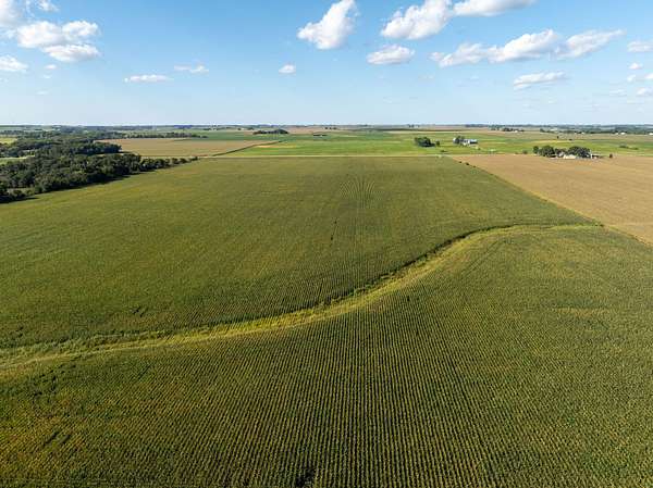
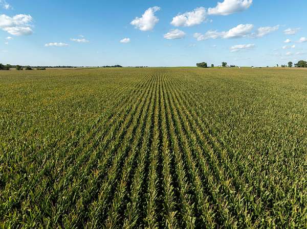
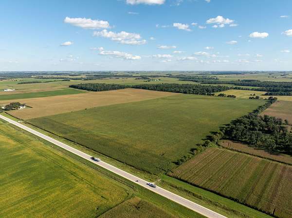
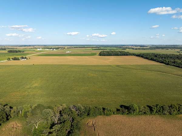
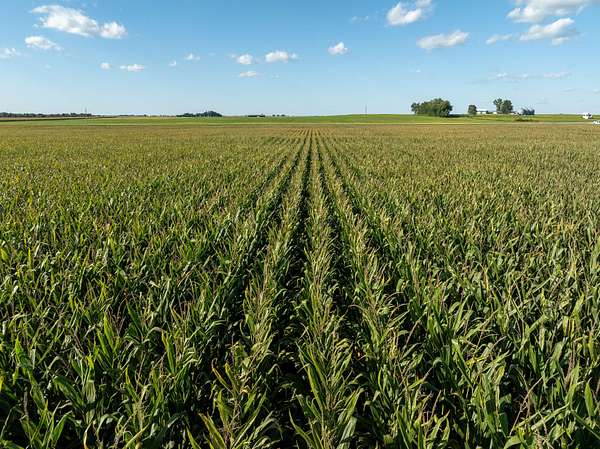
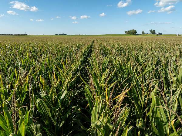
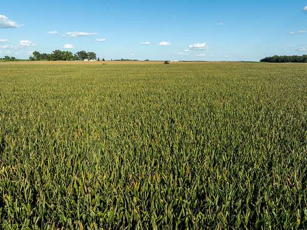
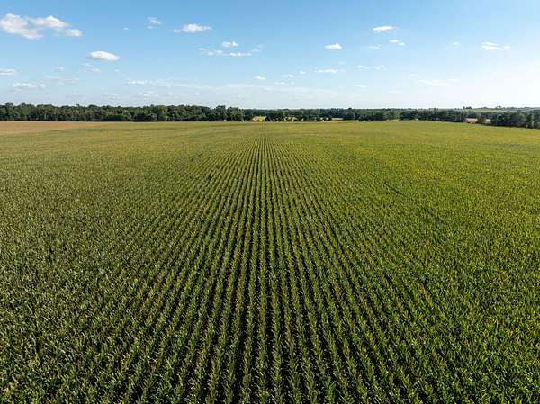
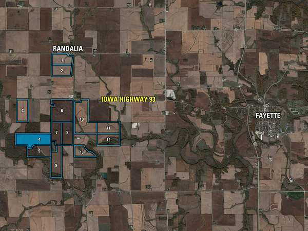
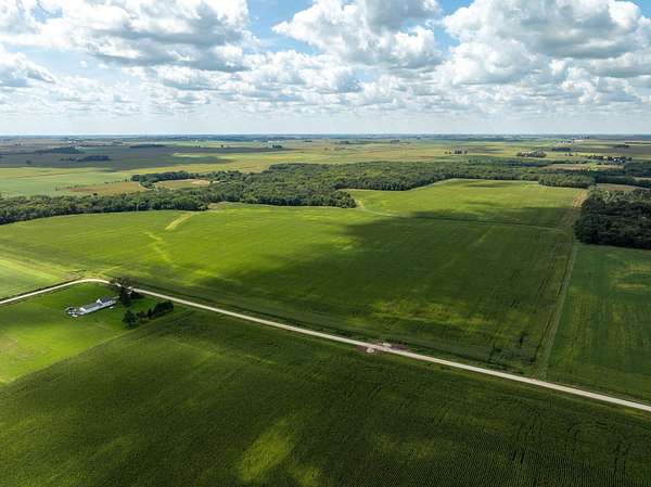
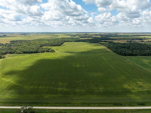
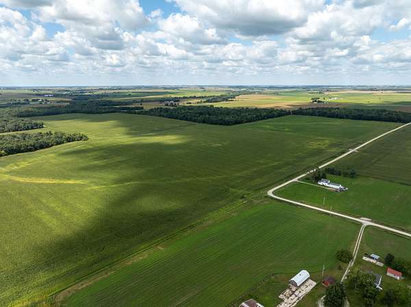
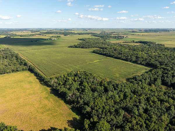
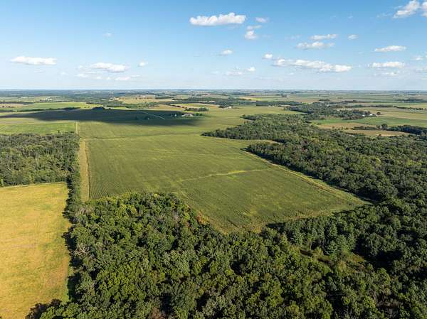
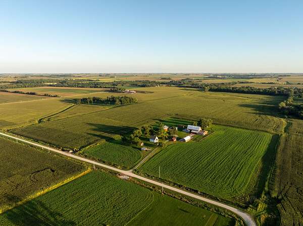
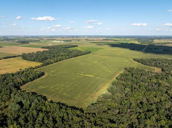
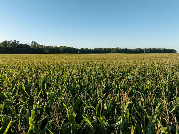
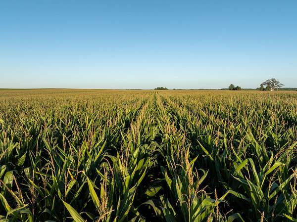
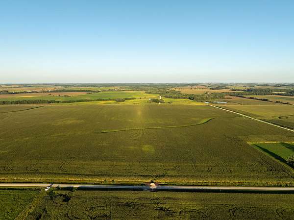
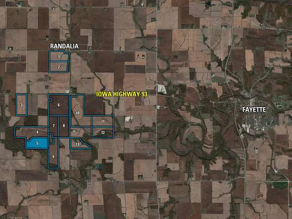
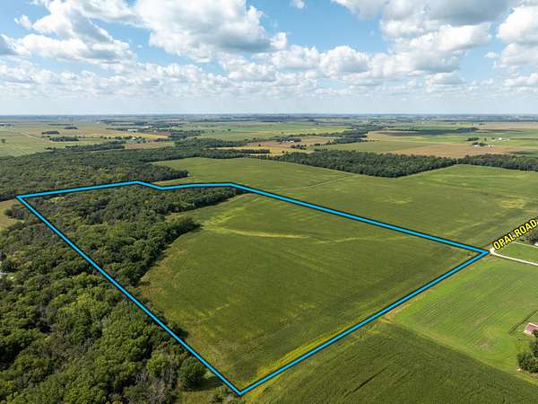
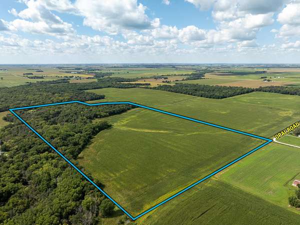
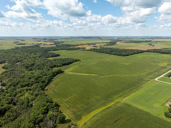
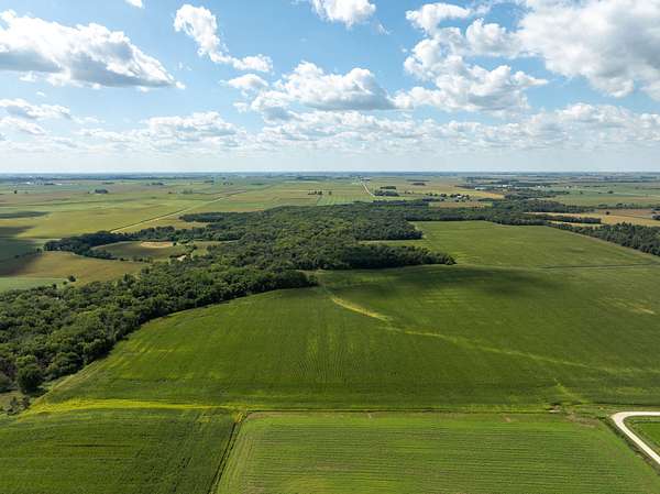
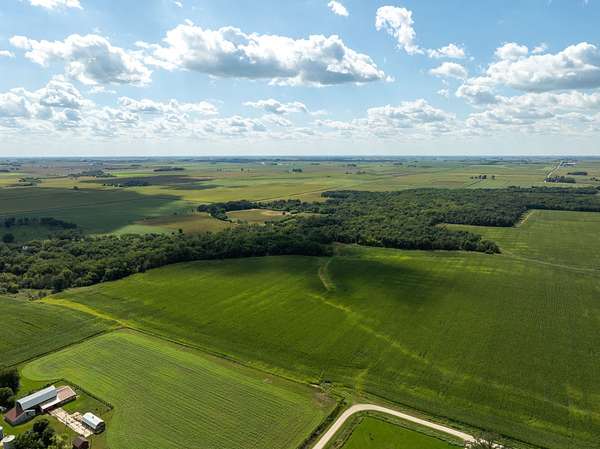
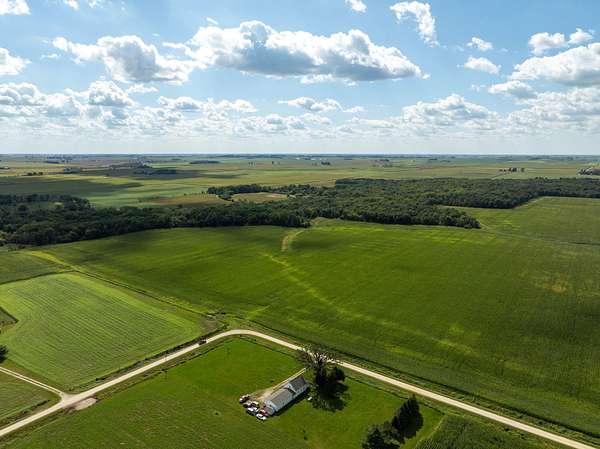
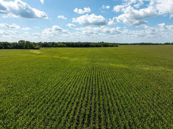
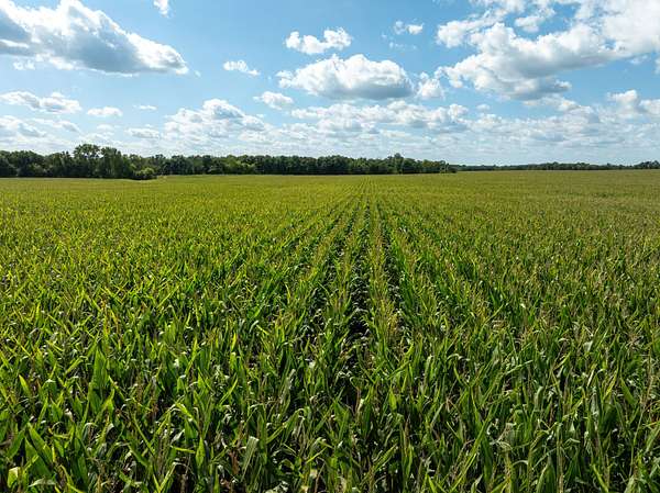
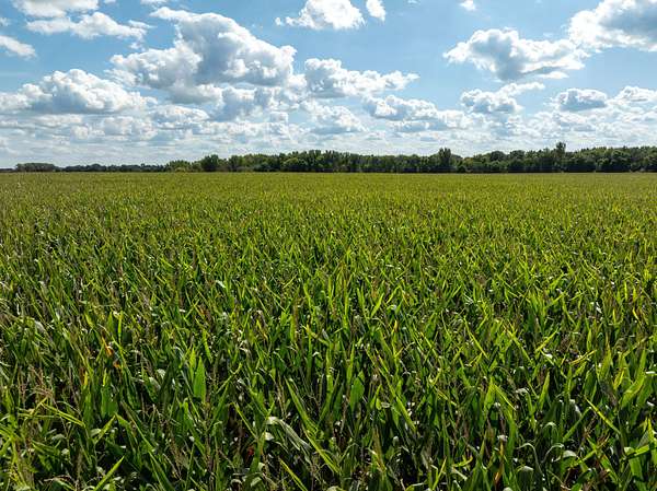
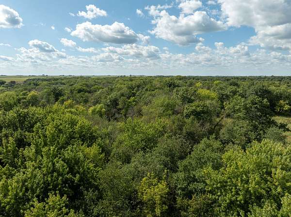
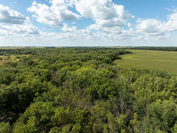
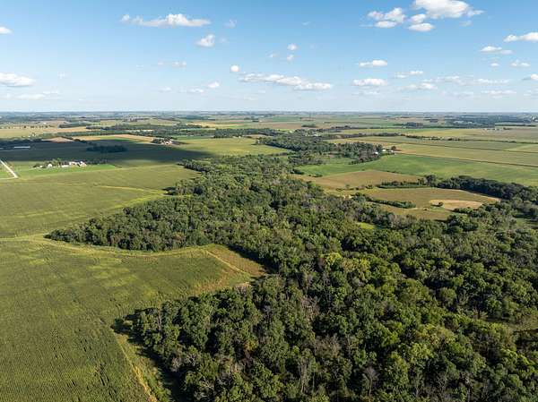
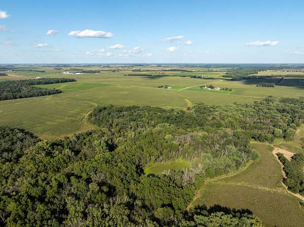
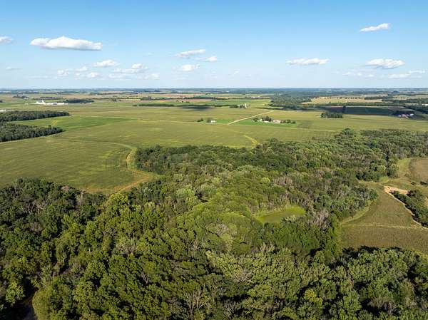
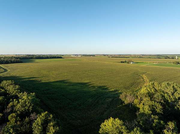
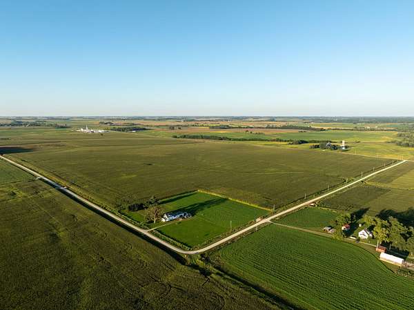
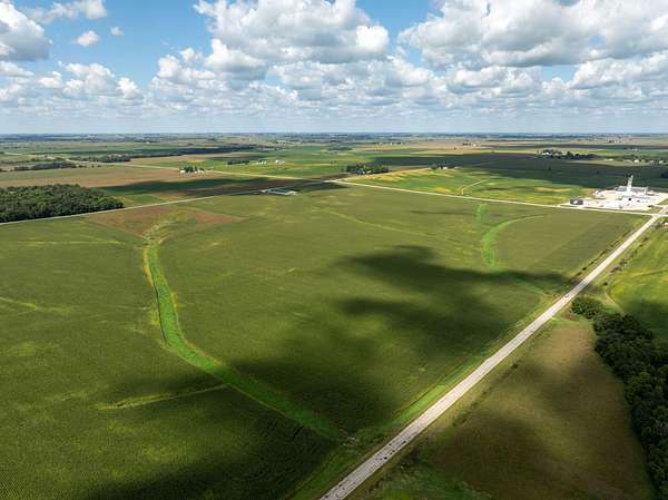
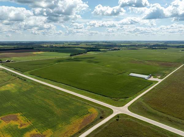
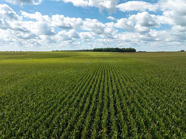
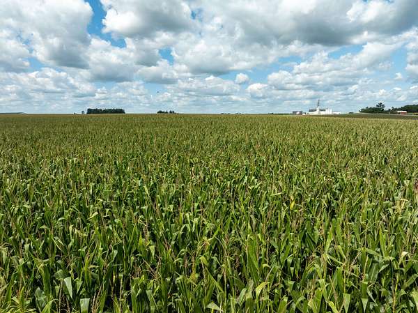
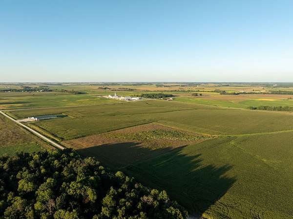
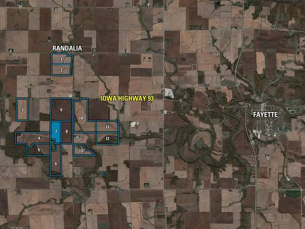
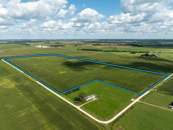
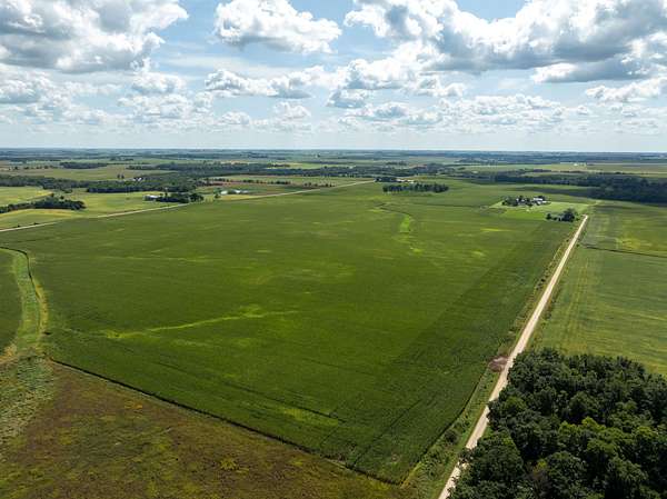
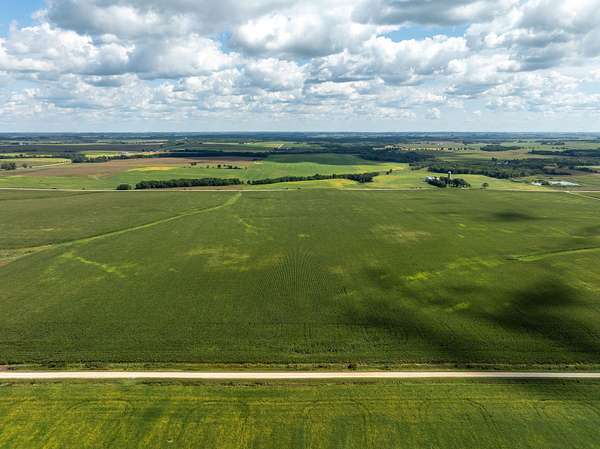
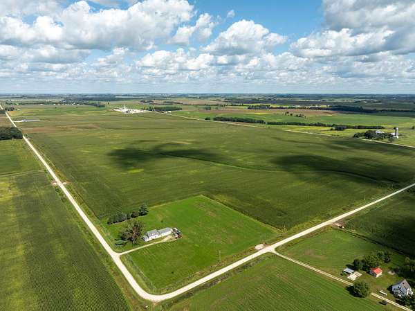
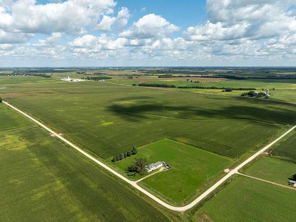
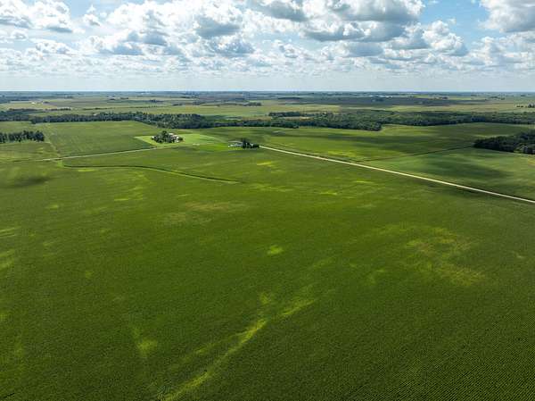
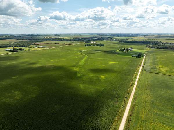
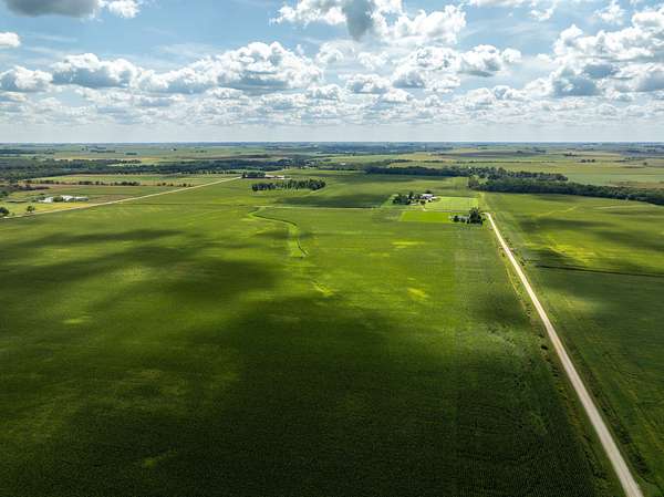
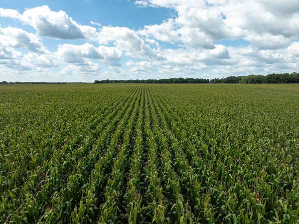
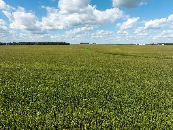
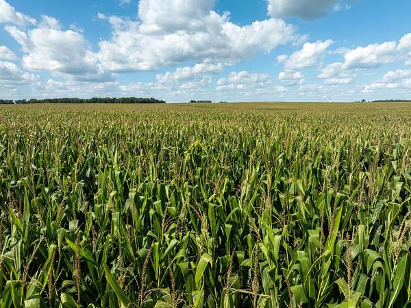
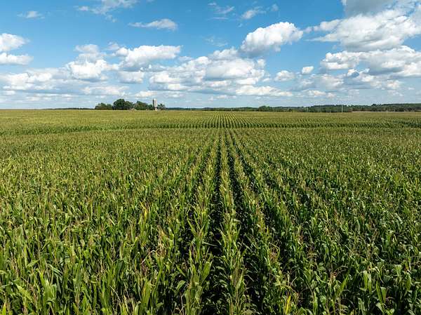
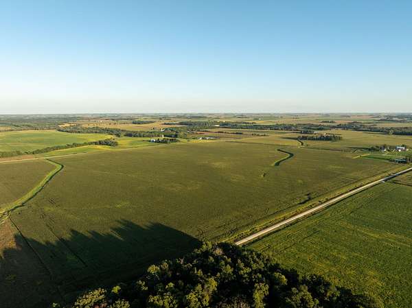
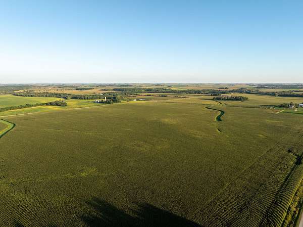
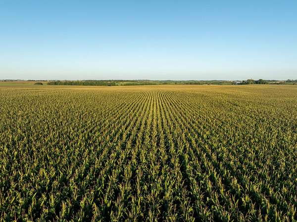
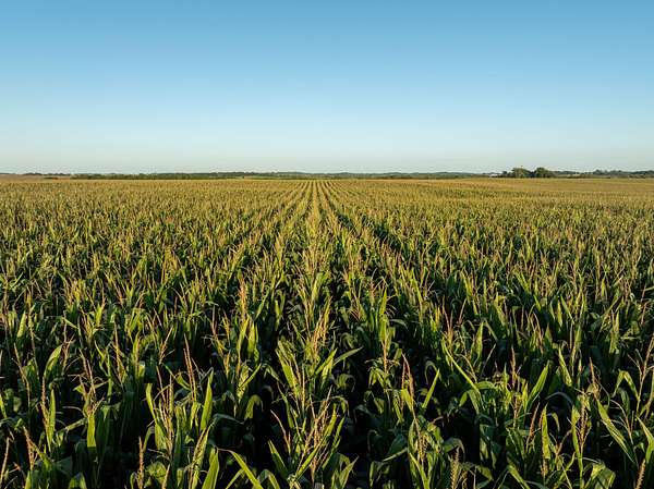
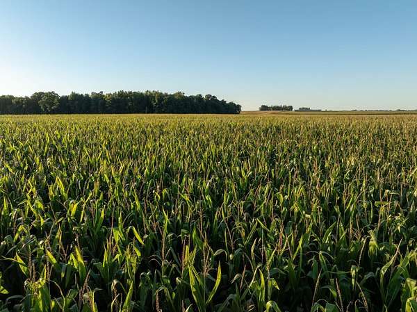
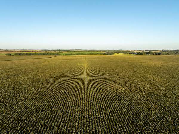
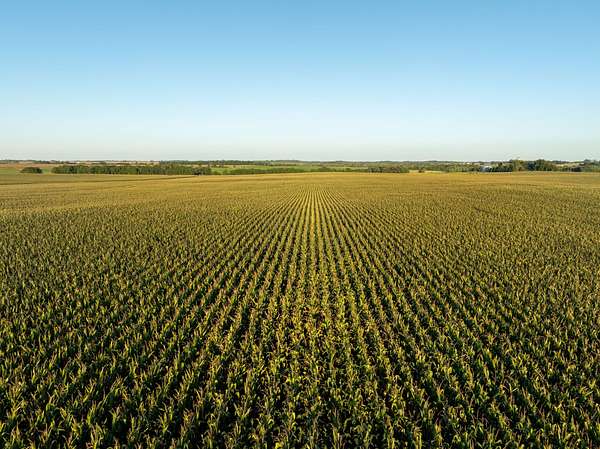
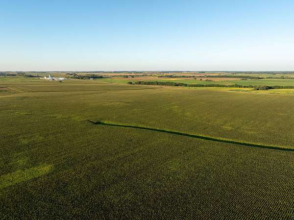
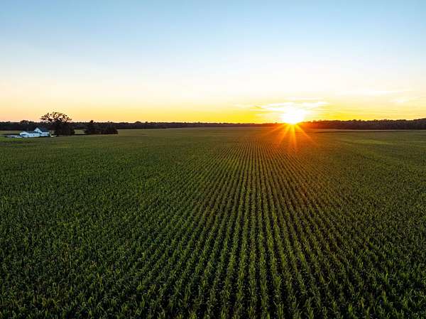
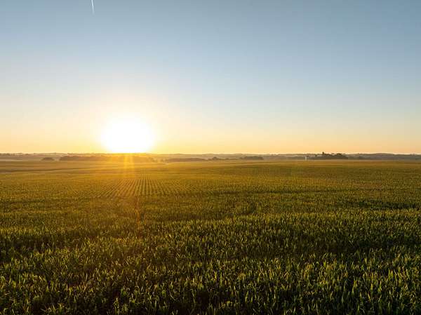
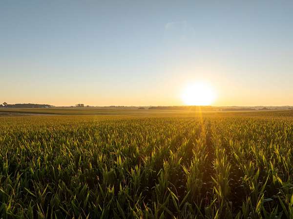
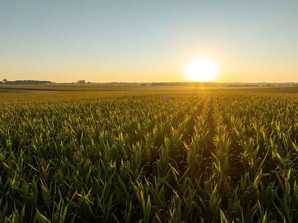
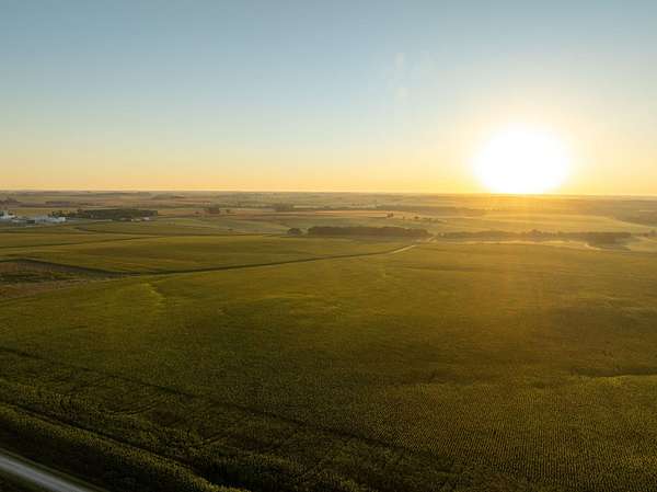
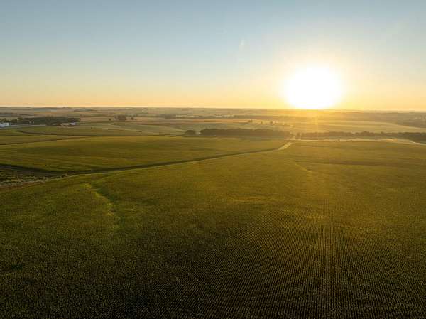
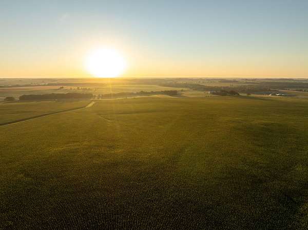
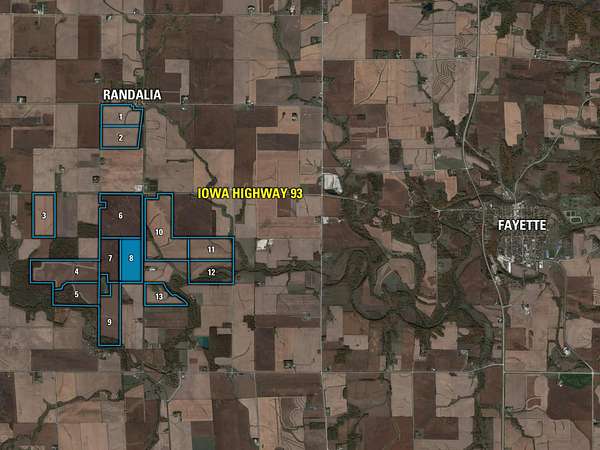
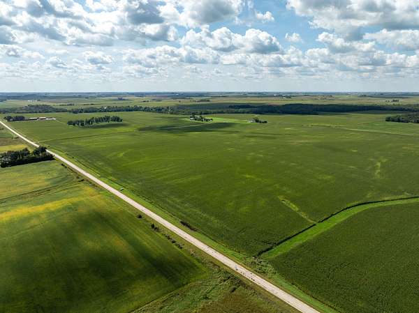
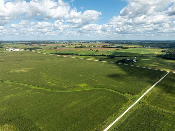
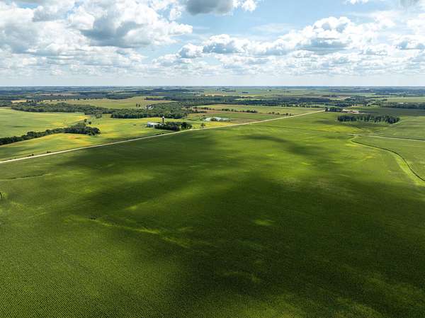
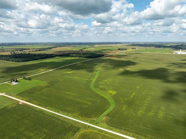
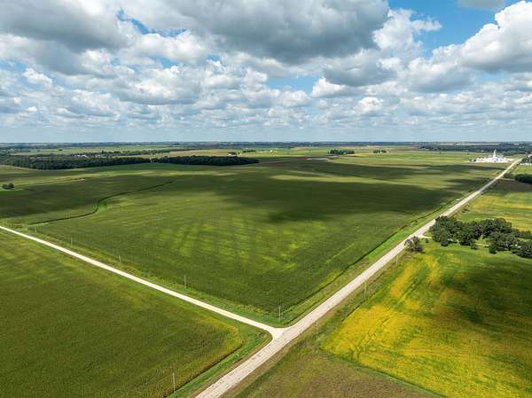
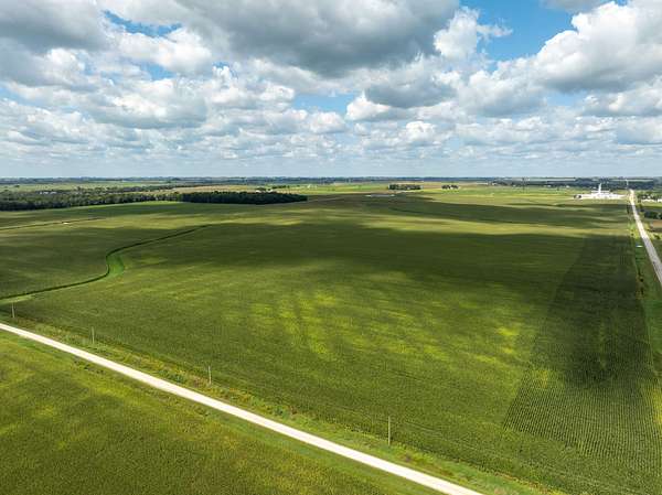
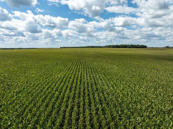
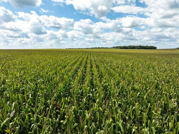
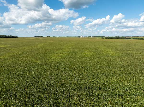
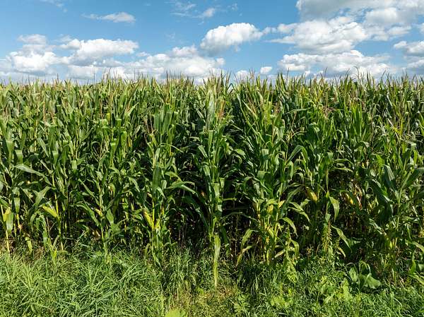
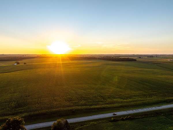
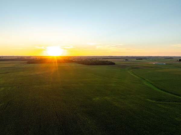
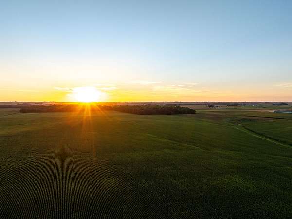
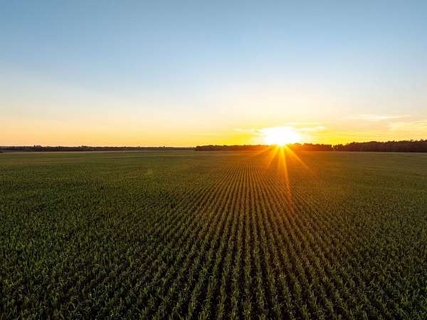
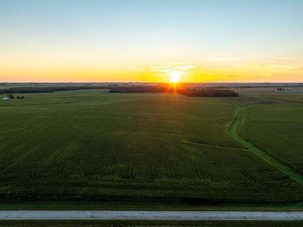
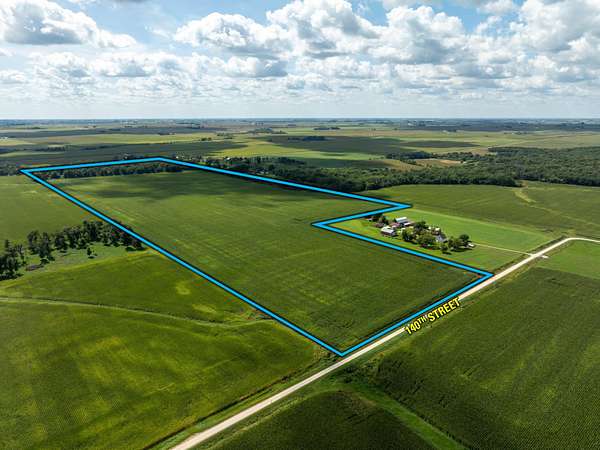
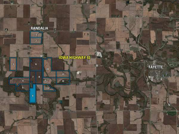
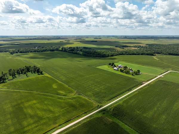
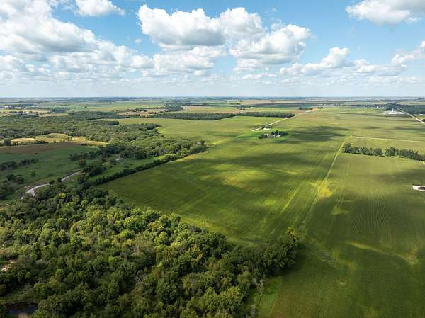
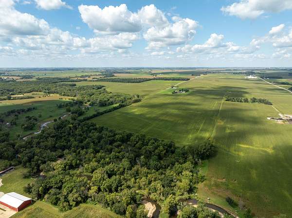
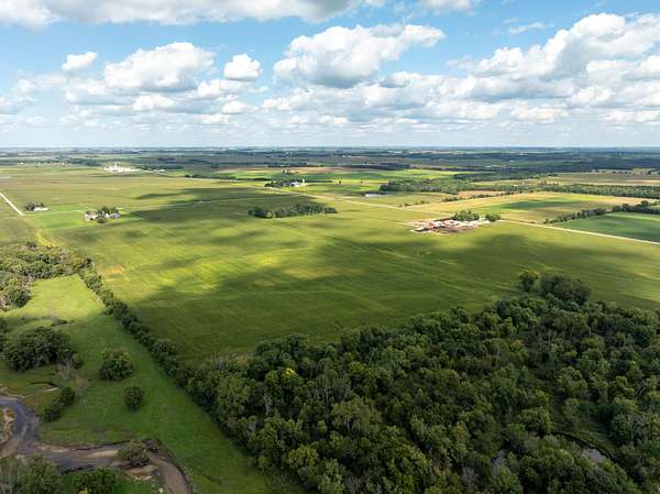
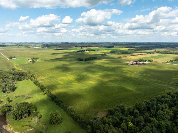
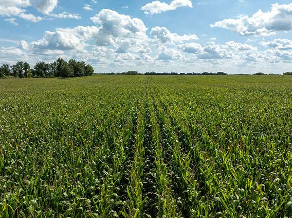
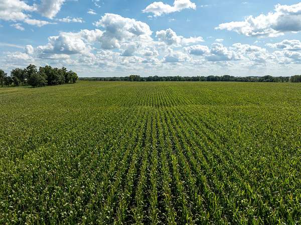
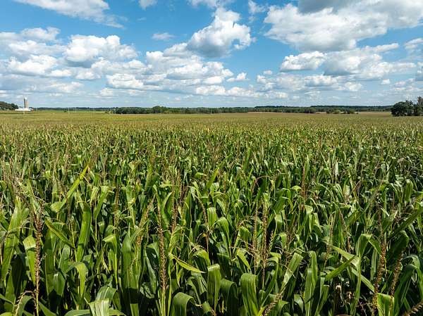
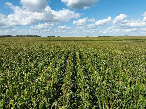
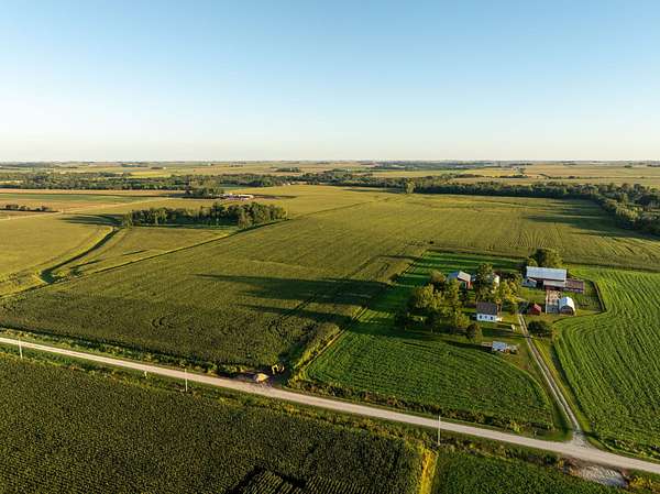
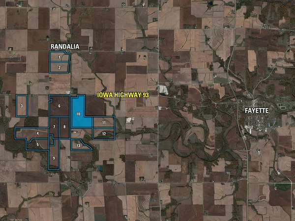
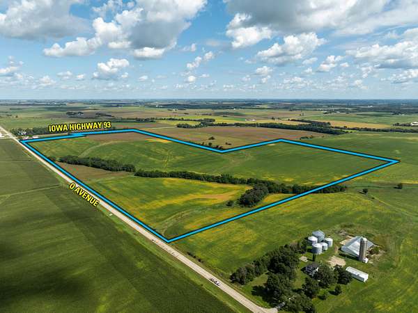
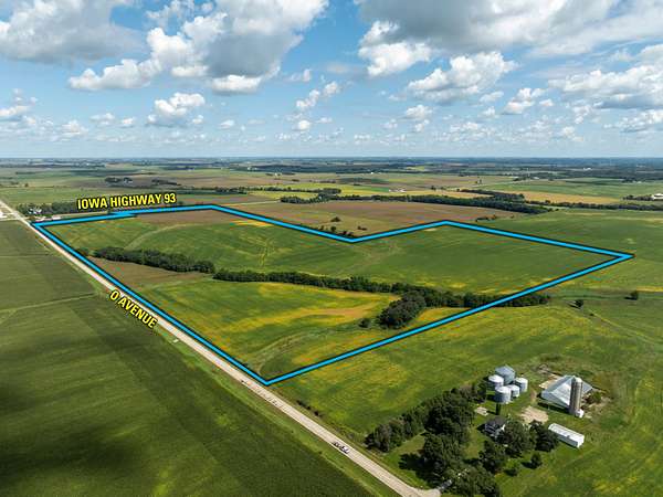
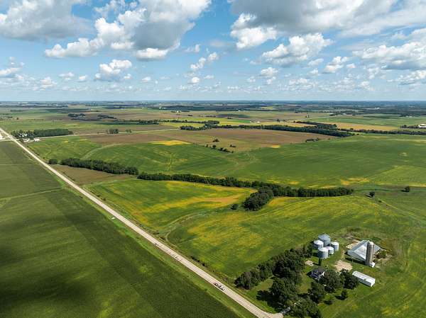
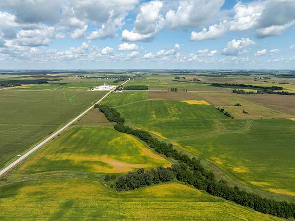
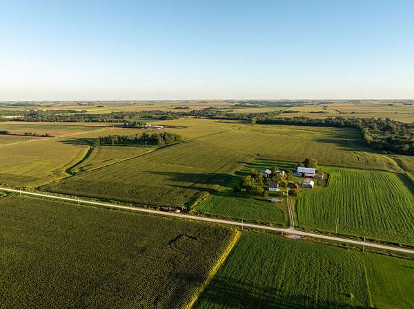
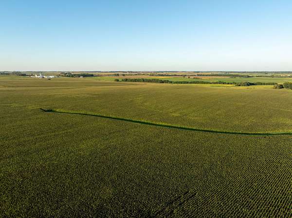
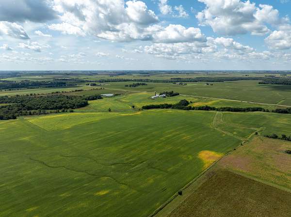
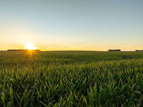
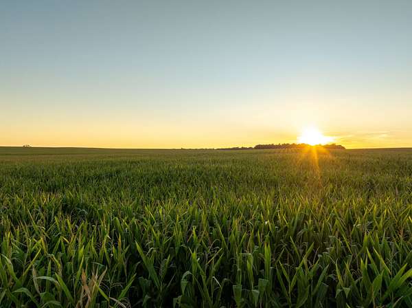
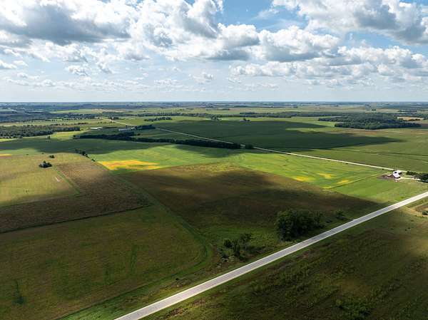
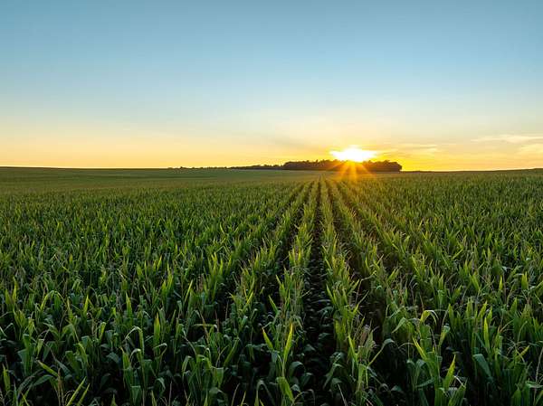
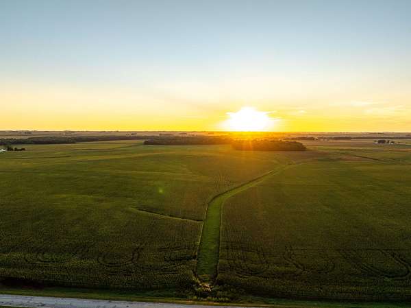
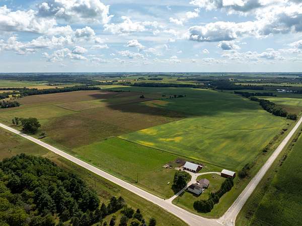
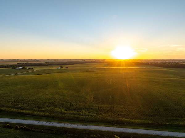
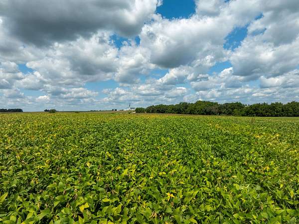
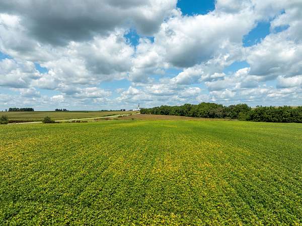
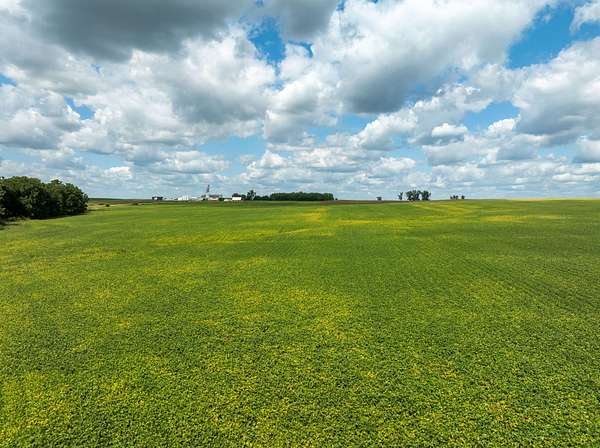
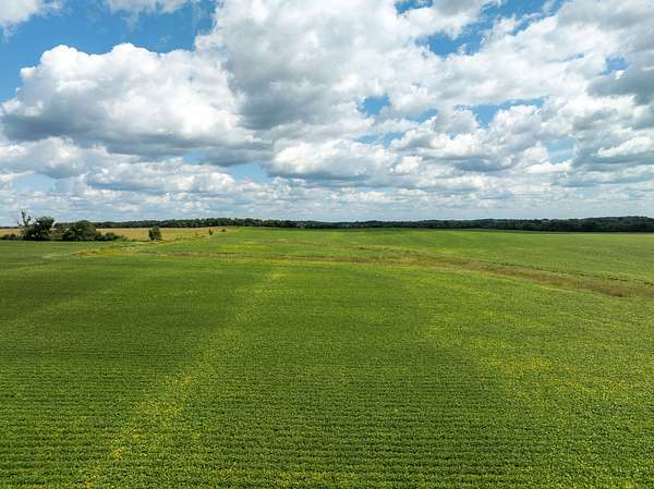
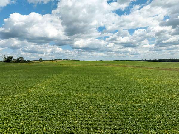
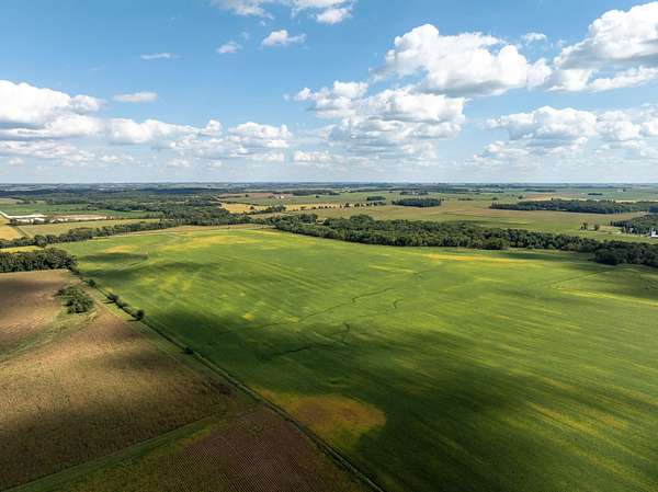
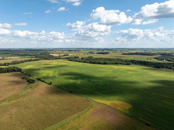
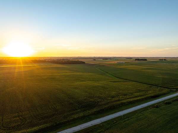
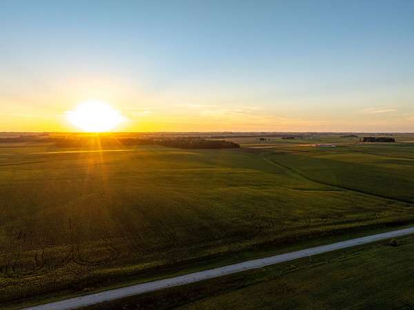
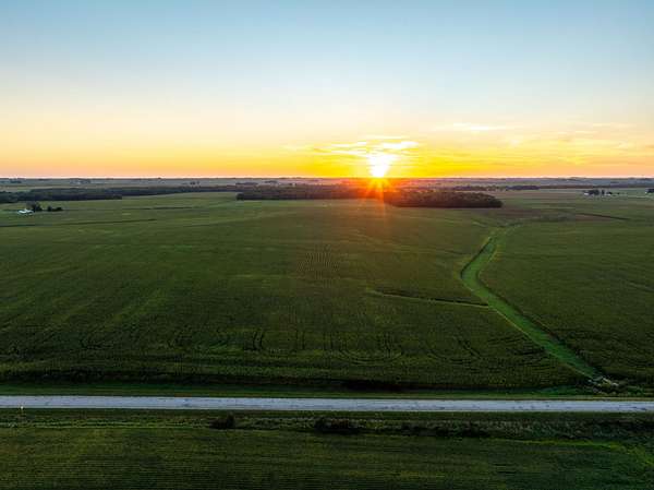
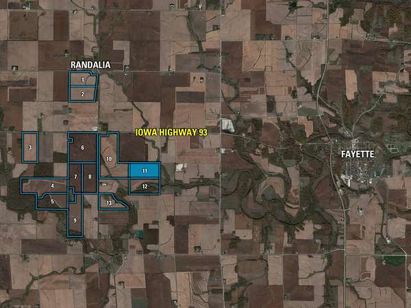
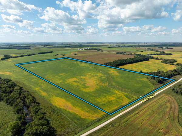
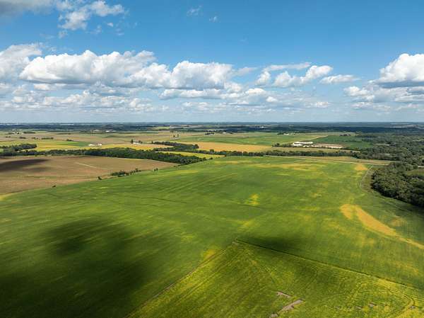
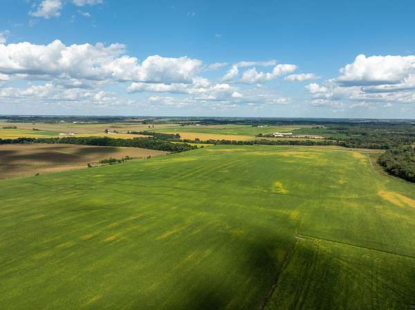
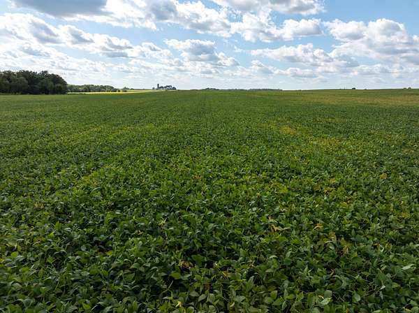
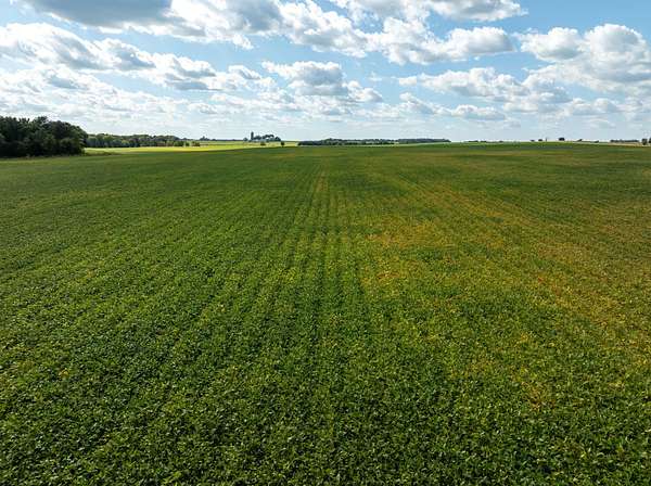
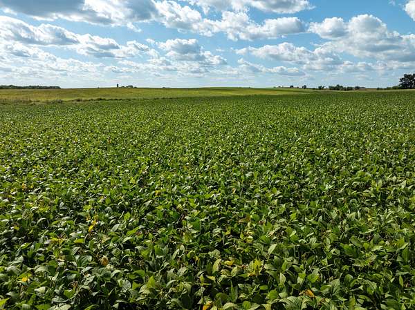
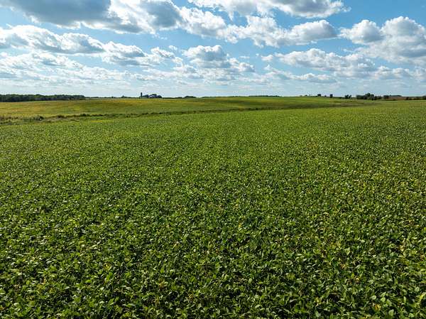
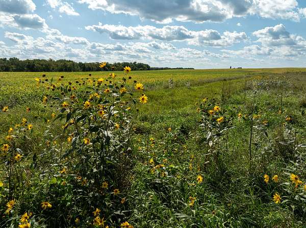
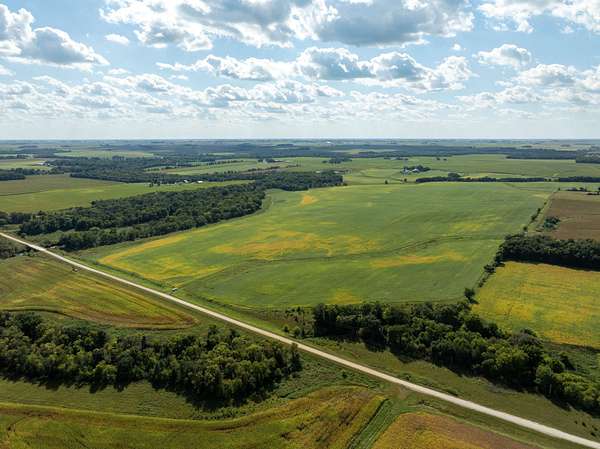
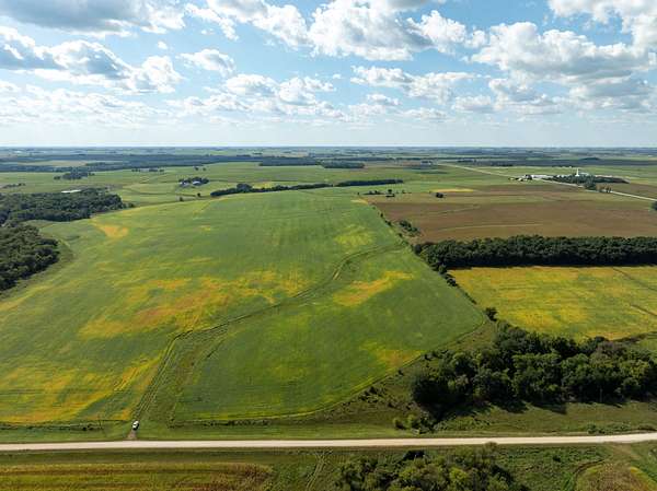
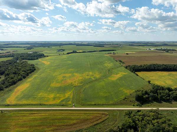
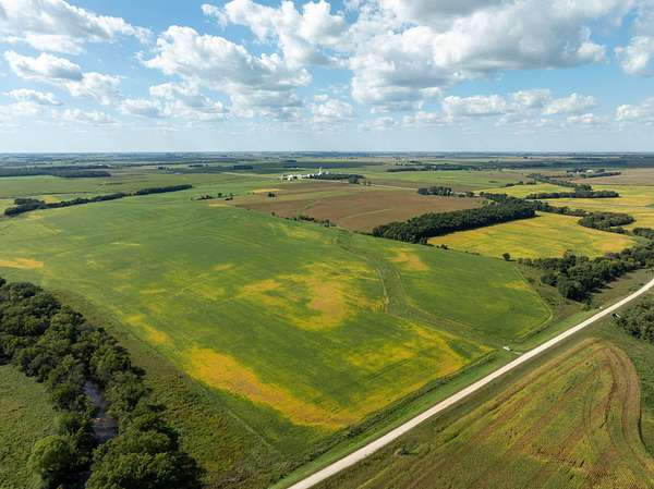
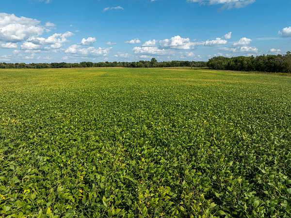
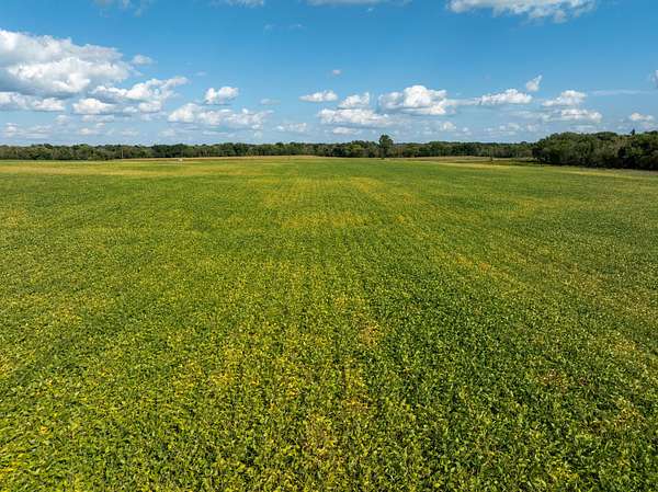
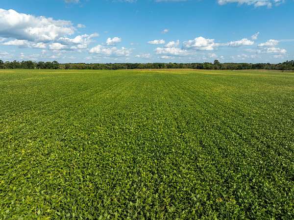
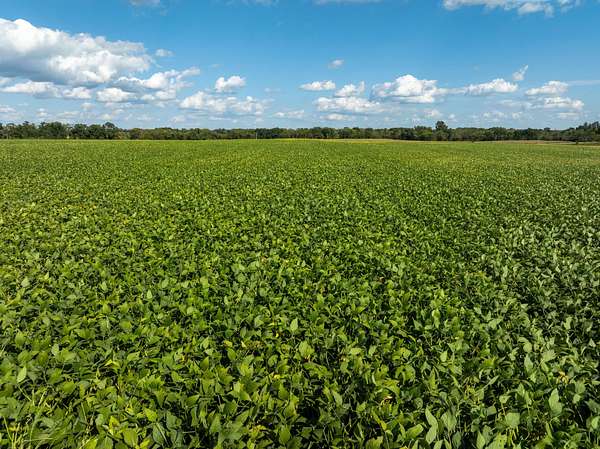
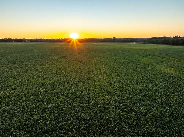
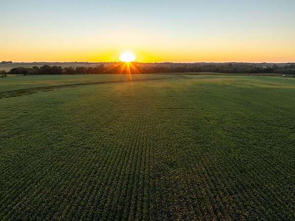
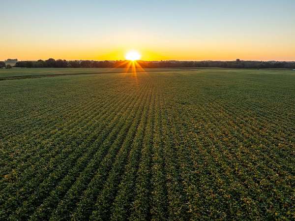
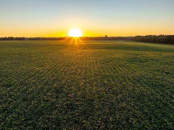
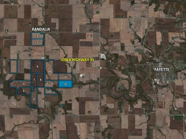
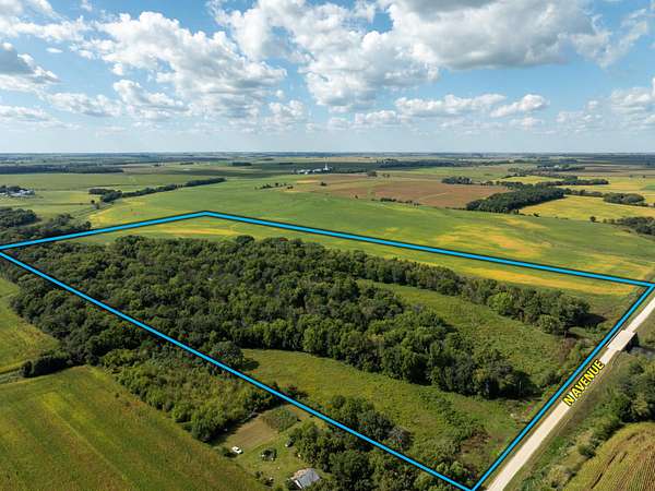
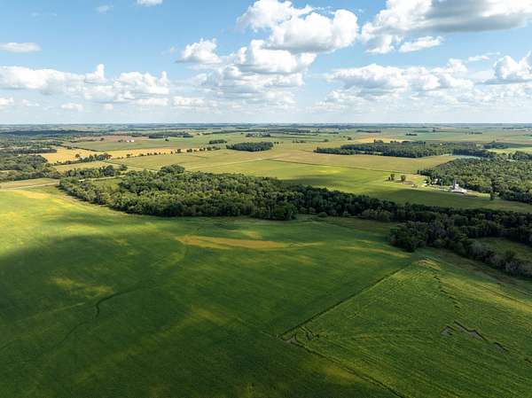
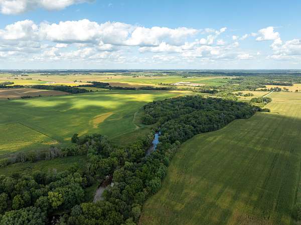
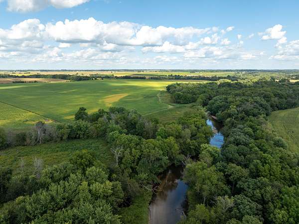
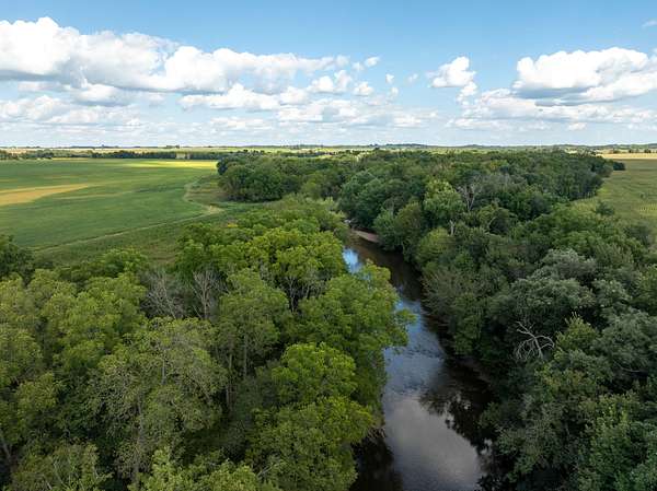
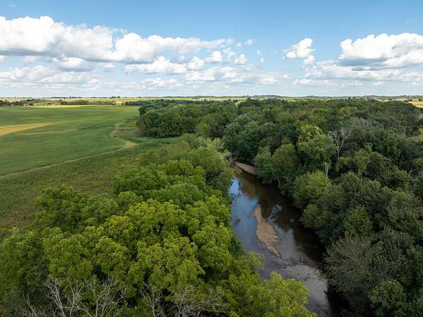
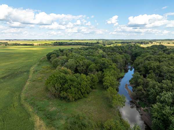
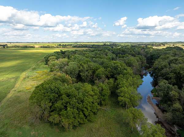
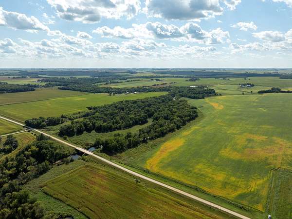
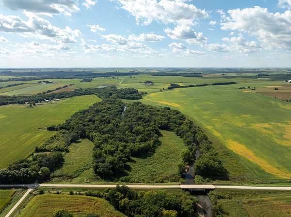
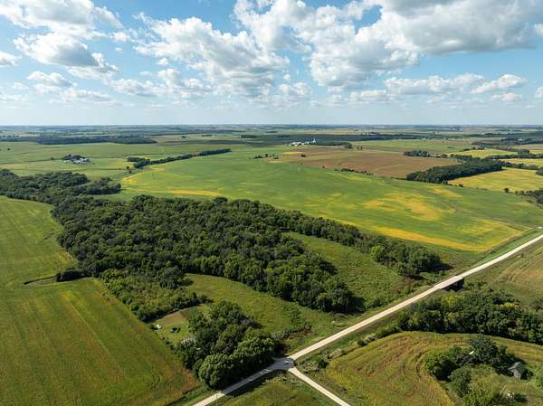
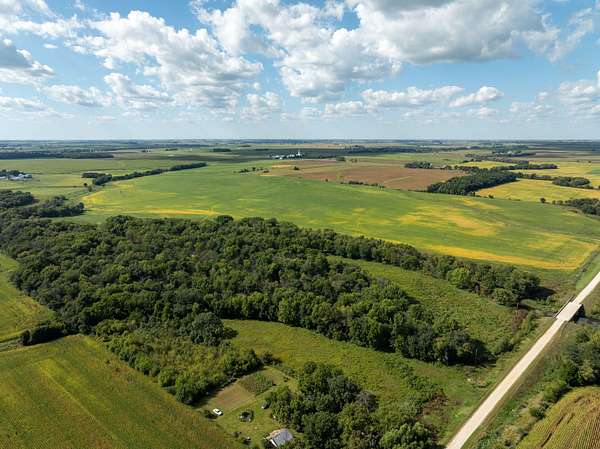
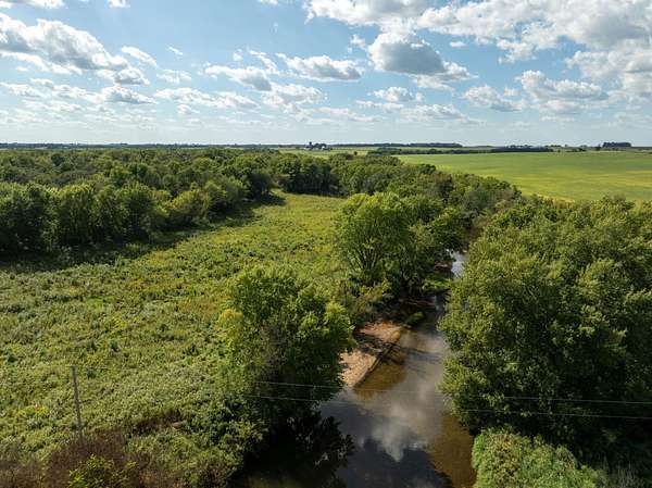
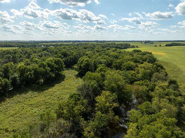
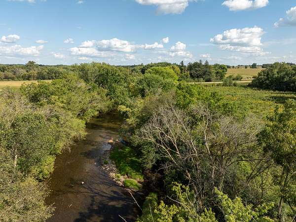
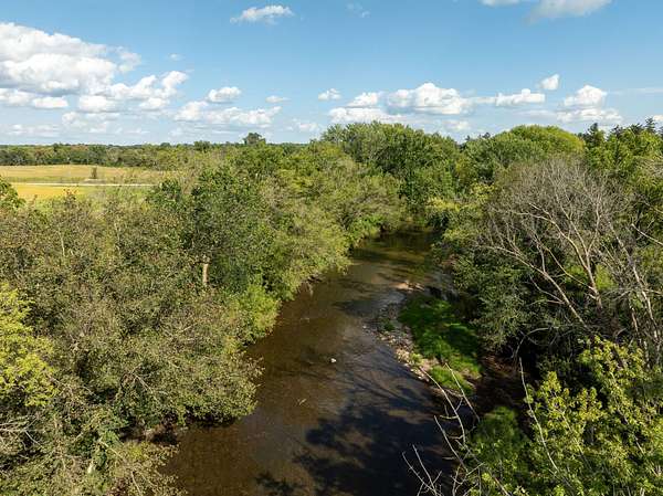
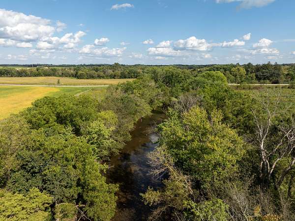
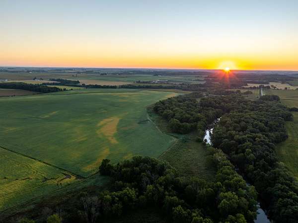
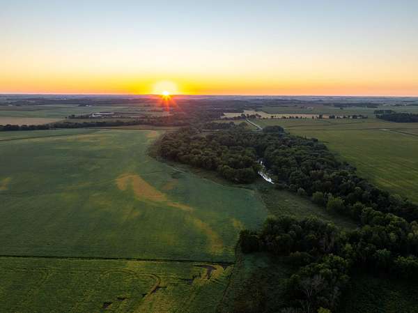
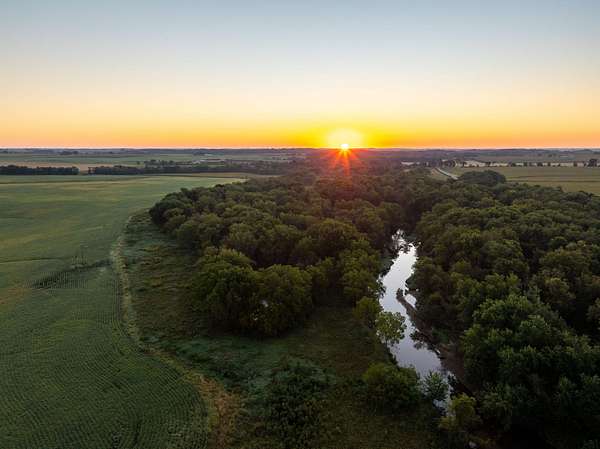
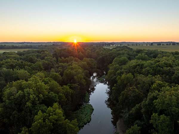
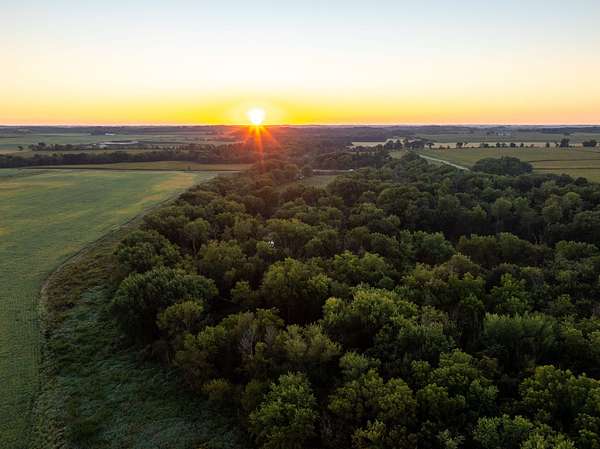
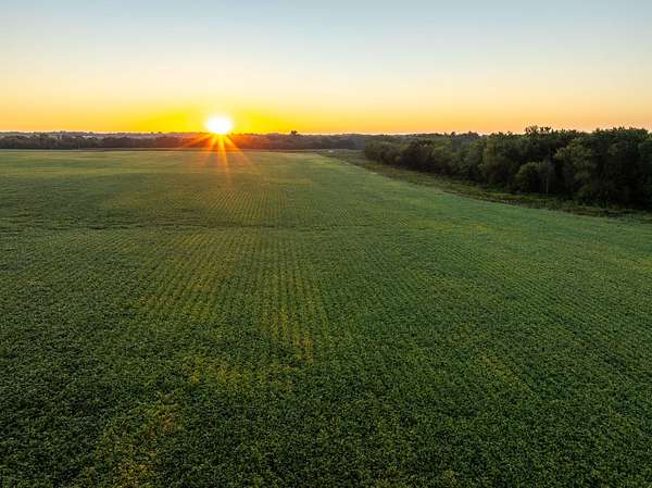
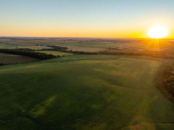
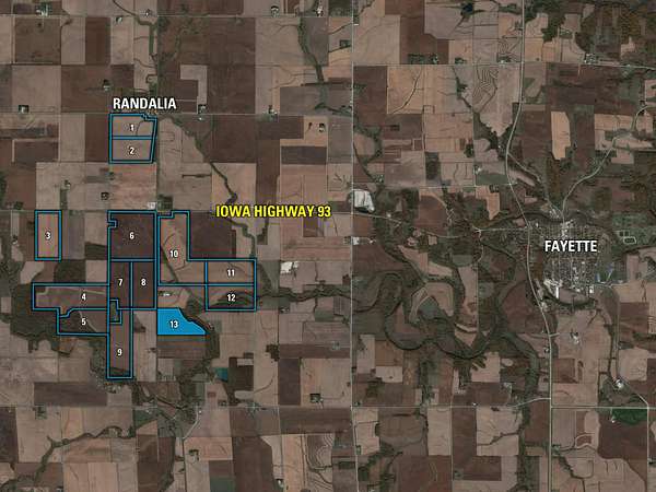
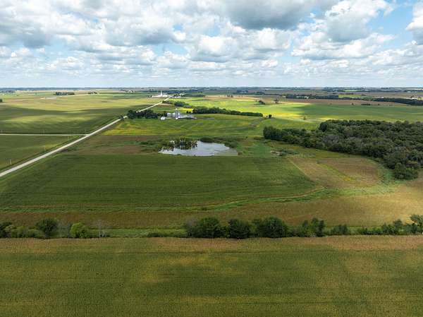
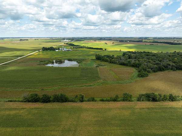
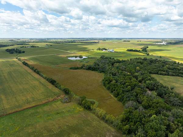
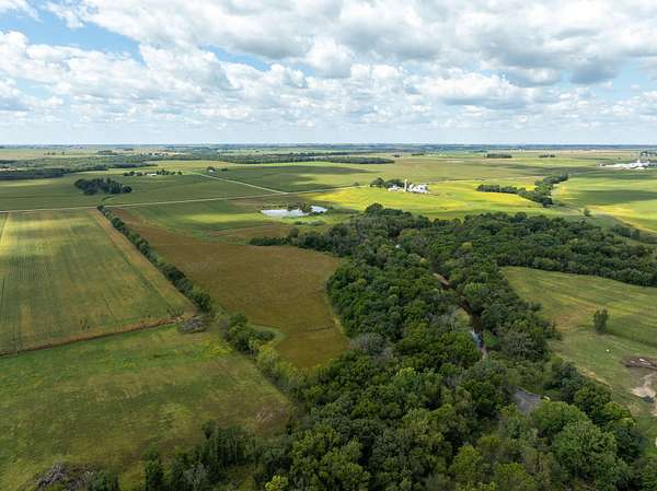
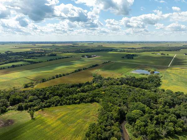
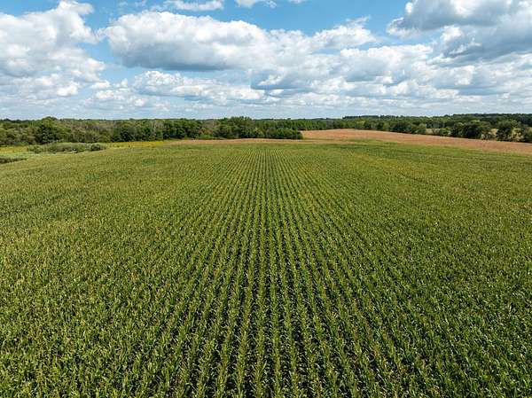
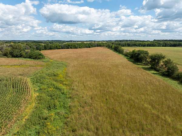
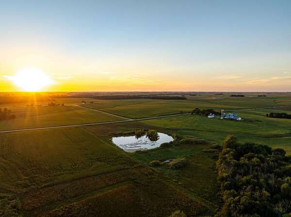
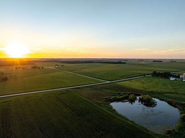
Major Fayette County, Iowa Land Auction - Peoples Company is honored to represent the Thomas J. and Carolyn J. Woods Trusts in the sale of 1,209.2 acres m/l of high-quality tillable farmland located near Randalia, Iowa. The land will be offered in thirteen individual tracts, including exceptional farmland and diverse recreational parcels. These farms have been meticulously managed over the years with extensive tiling, strong yield history, and thoughtful conservation efforts, creating one of the rarest turnkey farm opportunities that has been brought to the northeast Iowa market in many years. The live, public auction will take place on Friday, October 30th, 2026, at 10:00 AM at the Fayette Opera House in Fayette, Iowa.
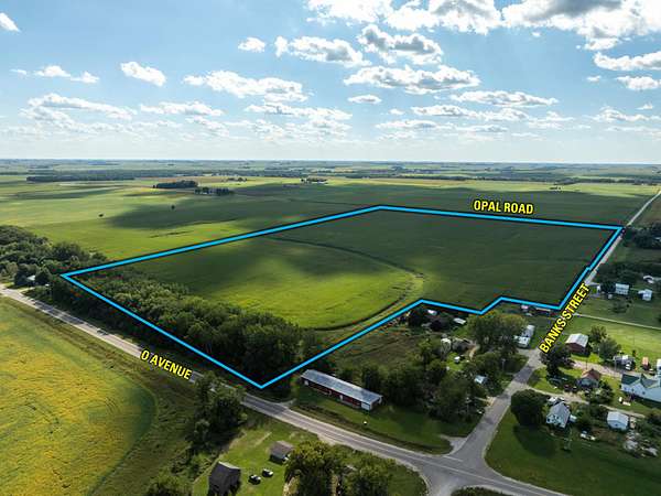
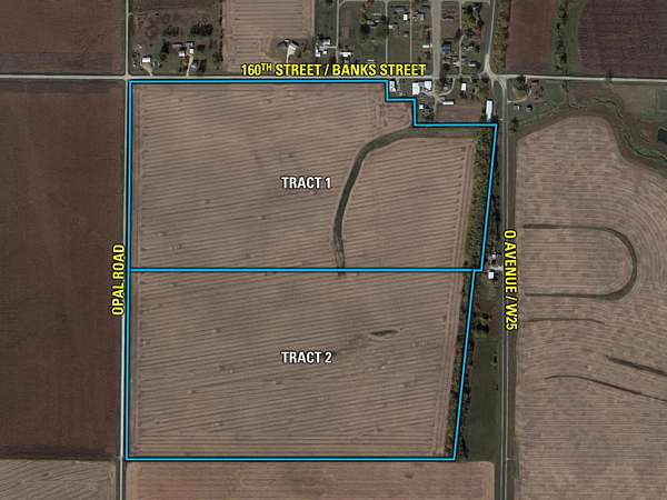
Tract 1: 67.00 acres m/l with 63.36 currently farmed acres carrying a CSR2 of 85.0.
Tract 2: 73.00 acres m/l with 66.99 FSA tillable acres carrying a CSR2 of 84.6.
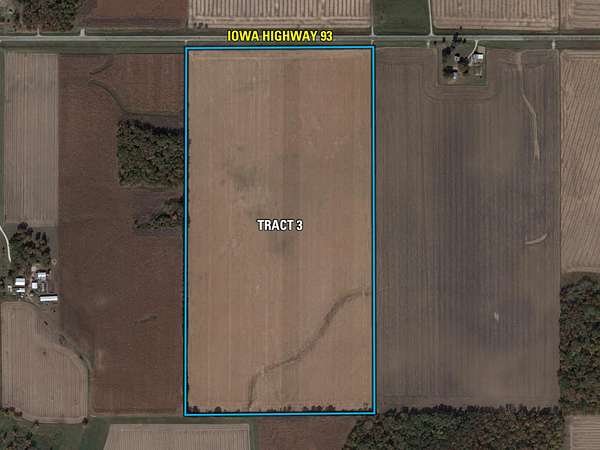
Tract 3: 80.00 acres m/l with 79.21 FSA tillable acres carrying a CSR2 of 84.5.
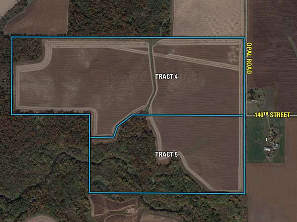
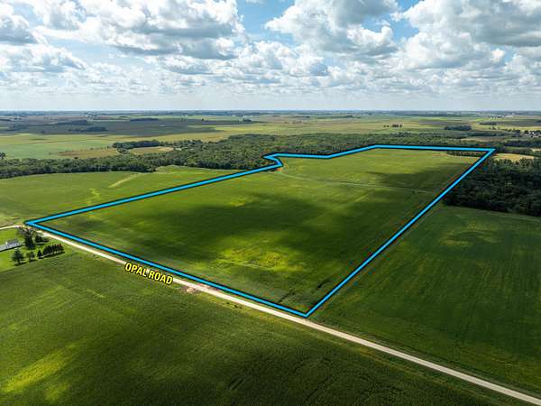
Tract 4: 125.50 acres m/l with 117.22 FSA tillable acres carrying a CSR2 of 78.7.
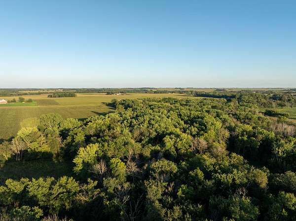
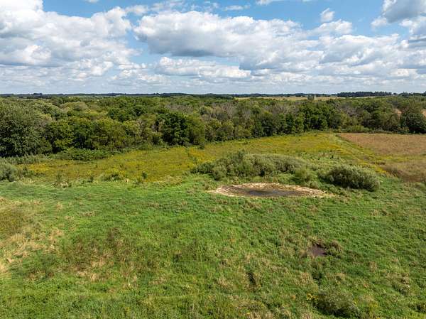
Tract 5: 74.50 acres m/l with 38.81 FSA tillable acres & timberland.
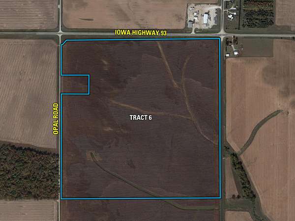
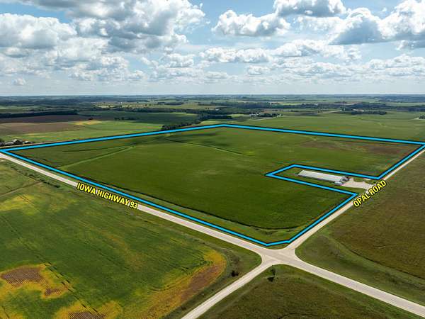
Tract 6: 150.50 acres m/l with 145.82 FSA tillable acres carrying a CSR2 of 81.0.
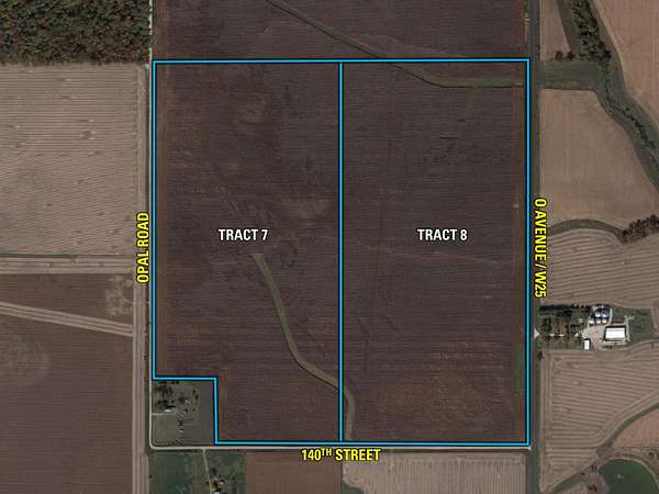
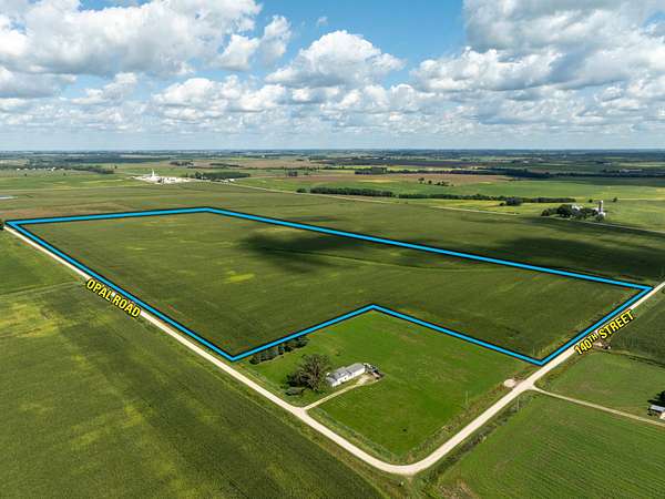
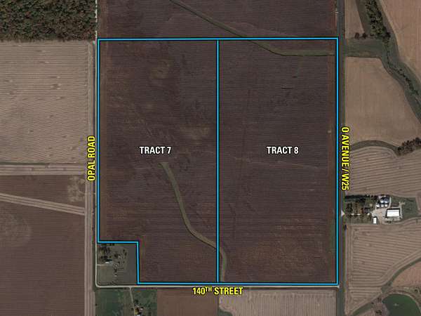
Tract 7: 75.00 acres m/l with 71.73 FSA tillable acres carrying a CSR2 of 83.5.
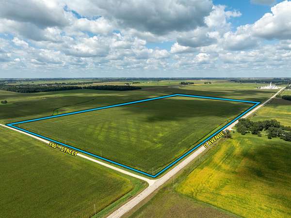
Tract 8: 80.00 acres m/l with 75.85 FSA tillable acres carrying a CSR2 of 84.9.
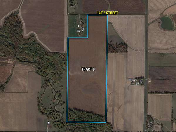
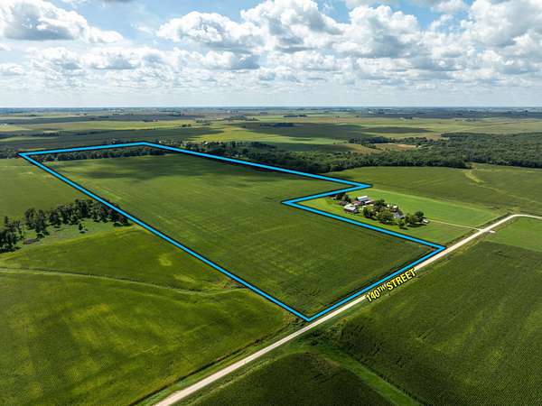
Tract 9: 98.00 acres m/l with 84.78 FSA tillable acres carrying a CSR2 of 65.6.
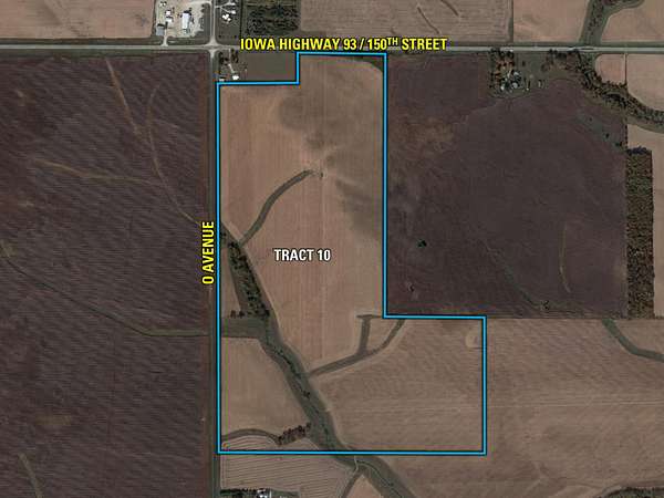
Tract 10: 172.00 acres m/l with 162.49 FSA tillable acres carrying a CSR2 of 75.0.
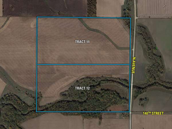
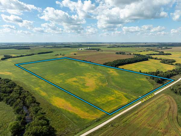
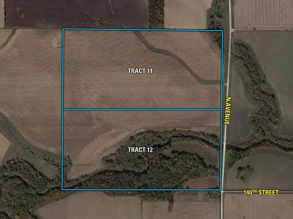
Tract 11: 80.00 acres m/l with 77.55 FSA tillable acres carrying a CSR2 of 63.4.
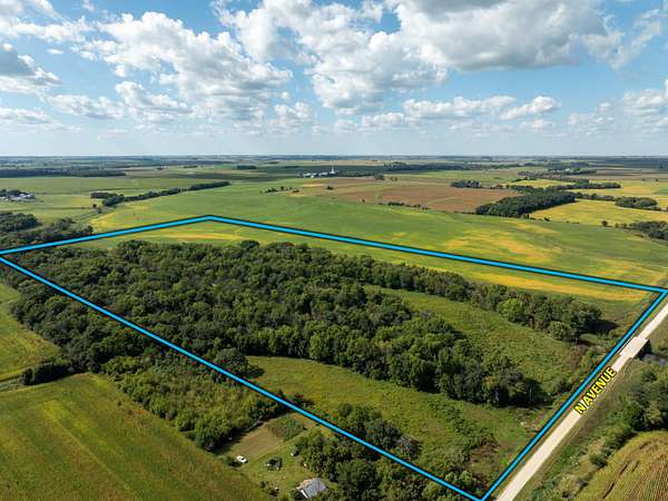
Tract 12: 80.00 acres m/l with 43.23 cropland acres & timberland.
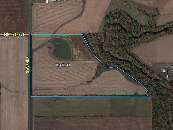
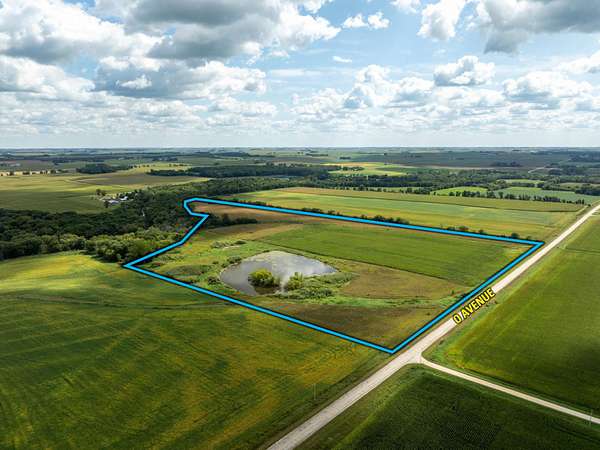
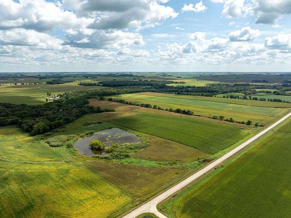
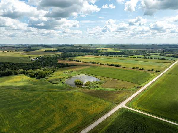
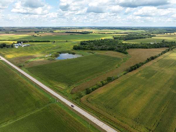
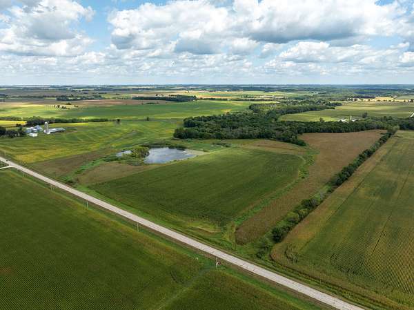
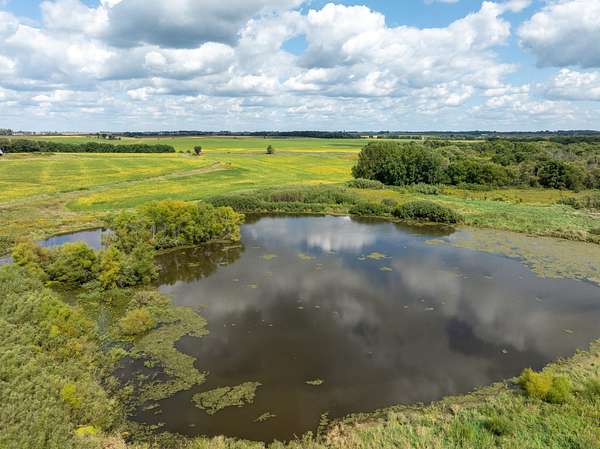
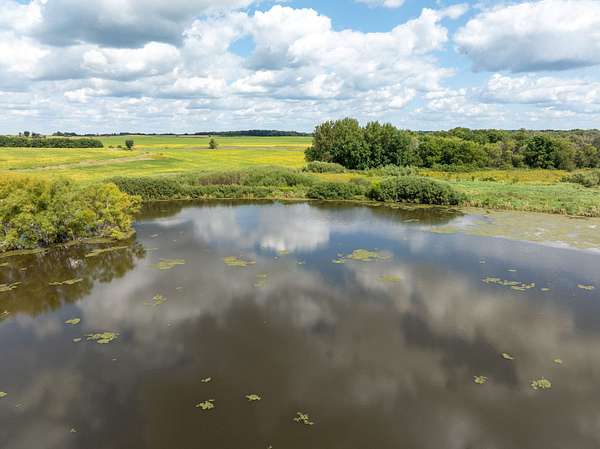
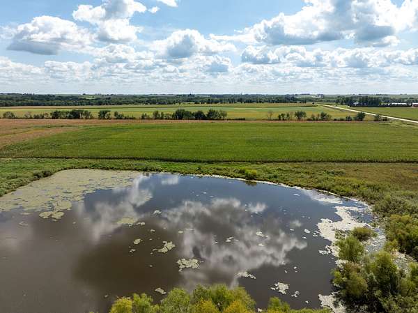
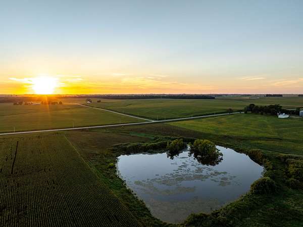
Tract 13: 53.70 acres m/l with 13.67 cropland acres, CRP, and a large pond.
The auction will be sold through the "Buyer's Choice Auction Method" as thirteen individual tracts on a price-per-acre basis. The high bidder may take, in any order, any or all tracts for their high bid. "Buyer's Choice" auctioning will continue until all tracts have been purchased and removed from the auction. Tracts will not be offered in their entirety at the conclusion of the auction. The live auction will be available for viewing and bidding through our mobile bidding app for those who are unable to attend in person.
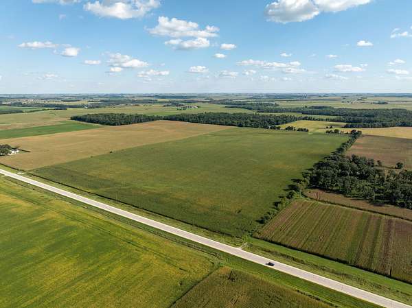
Do not miss the unprecedented opportunity to own this impressive portfolio of farmland in a prime northeast Iowa location just off Highway 93 west of Fayette and directly adjacent to Randalia. This meticulously cared-for farm will be well suited for local farmers, institutional-grade investors, and recreational buyers alike. These thirteen tracts are ideally located in one of the most sought-after regions for farmland investment due to the soil types, grain outlet options, and strong farming operations.
Auction details
- Price
- Contact agent
- Date
- Description
Listing #19677 - 1209.20 acres in Fayette County, IA
- Location
- 301 South Main Street, Fayette, IA 52142
Randalia, IA
Location
- Street address
- Iowa Hwy 93
- County
- Fayette County
- Zip code
- 52164
- Elevation
- 1,116 feet
Property details
- Acreage
- 1,209 acres
- Posted
Legal description
See individual tract legal descriptions.
Resources
- FSA Aerial Map - Tract 2
- Total Soils Map - Tract 1
- Tillable Soils Map - Tract 1
- Currently Farmed Map - Tract 1
- CRP Soils Map - Tract 1
- Flood Hazard Map - Tract 1
- Plat Map - Tract 1
- Total Soils Map - Tract 2
- Tillable Soils Map - Tract 2
- Currently Farmed Soils Map - Tract 2
- Plat Map - Tract 2
- Total Soils Map - Tract 3
- Tillable Soils Map - Tract 3
- Currently Farmed Soils Map - Tract 3
- Flood Hazard Map - Tract 3
- Plat Map - Tract 3
- Total Soils Map - Tract 9
- Tillable Soils Map - Tract 9
- Currently Farmed Soils Map - Tract 9
- CRP Soils Map - Tract 9
- Flood Hazard Map - Tract 9
- Plat Map - Tract 9
- Total Soils Map - Tract 10
- Tillable Soils Map - Tract 10
- Currently Farmed Soils Map - Tract 10
- CRP Soils Map - Tract 10
- Flood Hazard Map - Tract 10
- Plat Map - Tract 10
- Total Soils Map - Tract 13
- Tillable Soils Map - Tract 13
- Currently Farmed Soils Map - Tract 13
- CRP Soils Map - Tract 13
- Flood Hazard Map - Tract 13
- Plat Map - Tract 13
- Total Soils Map - Tract 6
- Tillable Soils Map - Tract 6
- Currently Farmed Map - Tract 6
- CRP Soils Map - Tract 6
- Plat Map - Tract 6
- Total Soils Map - Tract 7
- Tillable Soils Map - Tract 7
- Currently Farmed Soils Map - Tract 7
- Plat Map - Tract 7
- Total Soils Map - Tract 8
- Tillable Soils Map - Tract 8
- Currently Farmed Soils Map - Tract 8
- Energy Map - Tract 8
- Plat Map - Tract 8
- Total Soils Map - Tract 11
- Tillable Soils Map - Tract 11
- Currently Farmed Soils Map - Tract 11
- CRP Soils Map - Tract 11
- Flood Hazard Map - Tract 11
- Energy Map - Tract 11
- Plat Map - Tract 11
- Total Soils Map - Tract 12
- Tillable Soils Map - Tract 12
- Currently Farmed Soils Map - Tract 12
- CRP Soils Map - Tract 12
- Flood Hazard Map - Tract 12
- Energy Map - Tract 12
- Plat Map - Tract 12
- Tract 13 Survey
- Total Soils Map - Tract 4
- Tillable Soils Map - Tract 4
- Currently Farmed Soils Map - Tract 4
- CRP Soils Map - Tract 4
- Flood Hazard Map - Tract 4
- Plat Map - Tract 4
- Total Soils Map - Tract 5
- Tillable Soils Map - Tract 5
- Currently Farmed Soils Map - Tract 5
- CRP Soils Map - Tract 5
- Flood Hazard Map - Tract 5
- Plat Map - Tract 5
- Topography Map - Tract 5
Listing history
| Date | Event | Price | Change | Source |
|---|---|---|---|---|
| Sept 18, 2026 | New listing | $— | — | Listing agent |