Images
Map
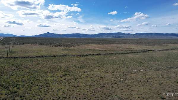
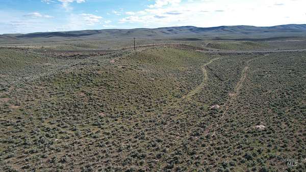
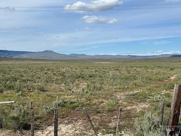
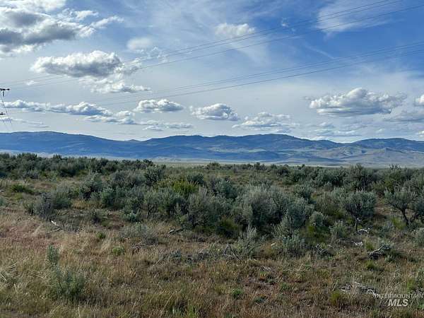
Land for Sale in Ironside, Oregon
John Day Hwy, Ironside, OR 97908
$820,000
1,490 acres
Active sale
$180k drop
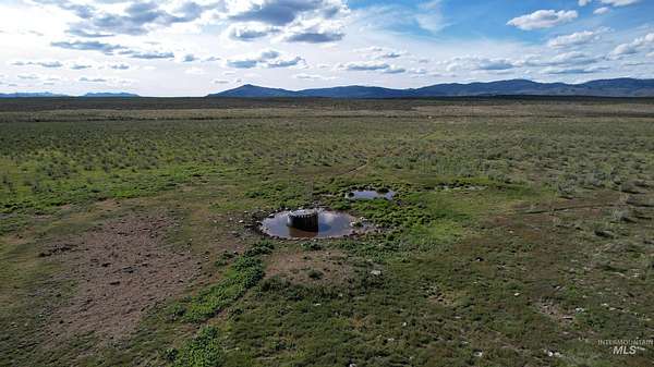
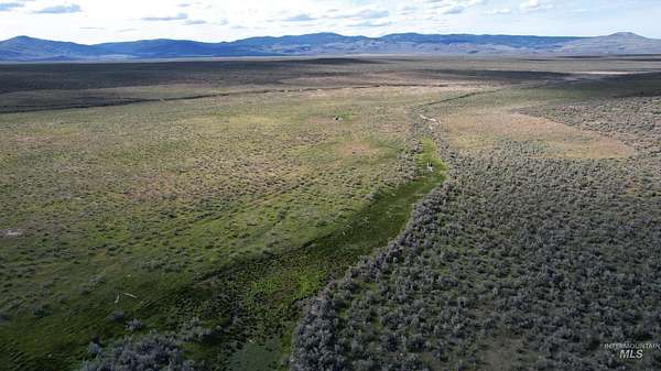
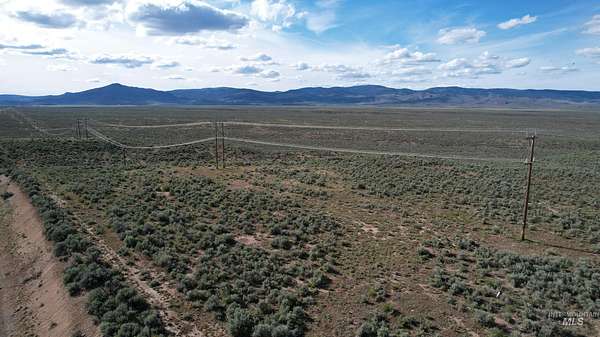
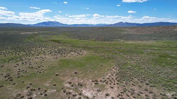
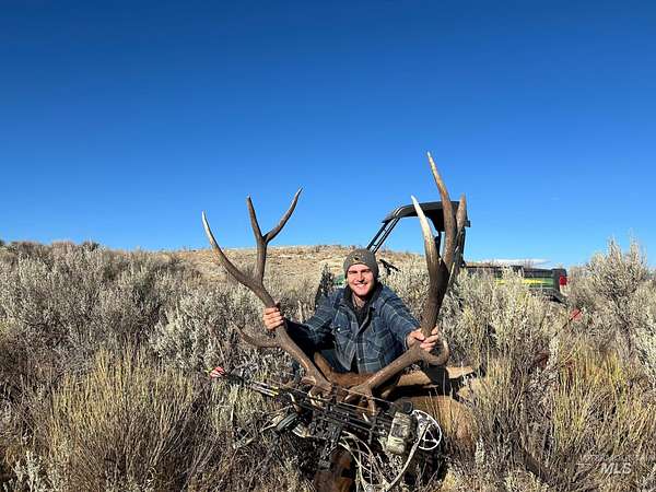
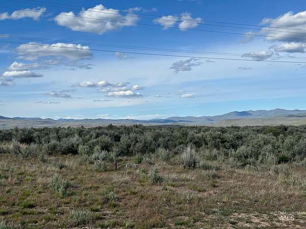
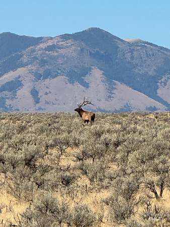
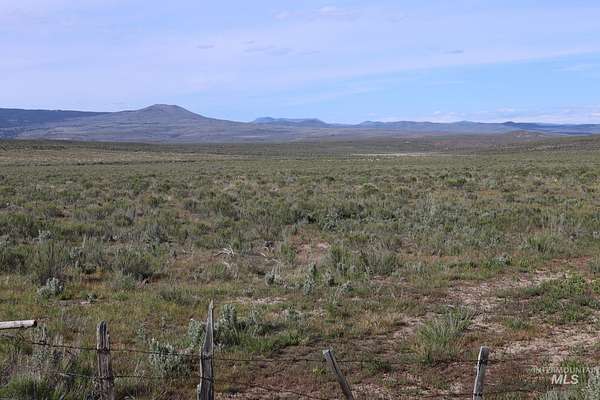
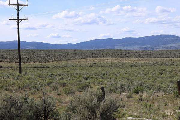
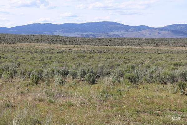
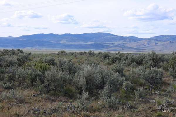
Est $5,548/moPrice reduced! Sagebrush blends with natives grasses providing a great landscape for the cattle as well as the elk and deer. Within the Lost Valley Creek's watershed, a seasonal creek and several springs are available for the stock water tanks, and also attracts wildlife. Some of the best hunting land in the area. The highway on the south boundary provides direct access to the property and also power and fiber optic cable. Along with this land, there is BLM land nearby expanding your outdoor playground. Ironside Mountain, Cow Valley Butte and Juniper Mountain are all in close proximity and less than an hour to Vale, Oregon.
Location
- Street address
- John Day Hwy
- County
- Malheur County
- Zip code
- 97908
- School district
- Burnt River School District
- Elevation
- 3,757 feet
Directions
Approximately 3 miles east of Ironside on north side of Hwy
Property details
- Acreage
- 1,490 acres
- Zoning
- C-A2
- MLS #
- IMLS 98954132
- Posted
Property taxes
- 2024
- $246
Parcels
- 4200
Details and features
Listing
- Type
- Land
Lot
- Features
- Over 40 Acres, Rolling Slope, Solar Potential, Views
Structure
- Water
- Spring
Property utilities
| Category | Type | Status |
|---|---|---|
| Power | Grid | Available |
Nearby schools
| Name | Type | District |
|---|---|---|
| Burnt River | Elementary | Burnt River School District |
| Burnt River | Middle | Burnt River School District |
| Burnt River | High | Burnt River School District |
Listing history
| Date | Event | Price | Change | Source |
|---|---|---|---|---|
| July 10, 2026 | Price drop | $820,000 | $180,000 -18% | IMLS |
| Mar 24, 2026 | Price drop | $1,000,000 | $200,000 -16.7% | IMLS |
| July 11, 2025 | New listing | $1,200,000 | — | IMLS |
Payment calculator
Contact listing agent
By submitting, I agree to the terms of use and to be contacted by . Message and data rates may apply.