Land for Sale in Sandpoint, Idaho
Lantern Ln, Sandpoint, ID 83864
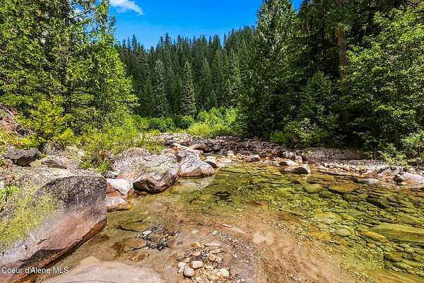
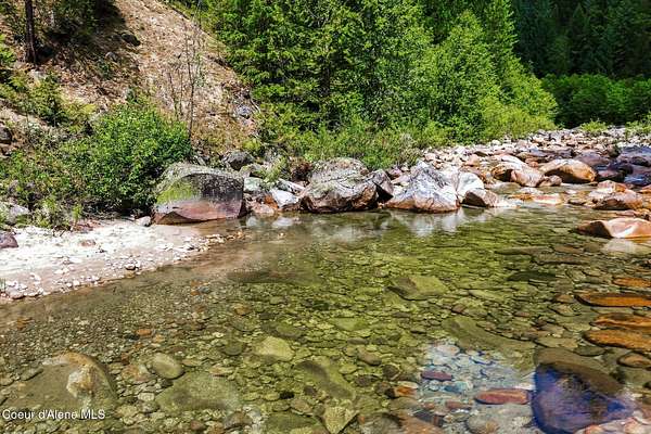
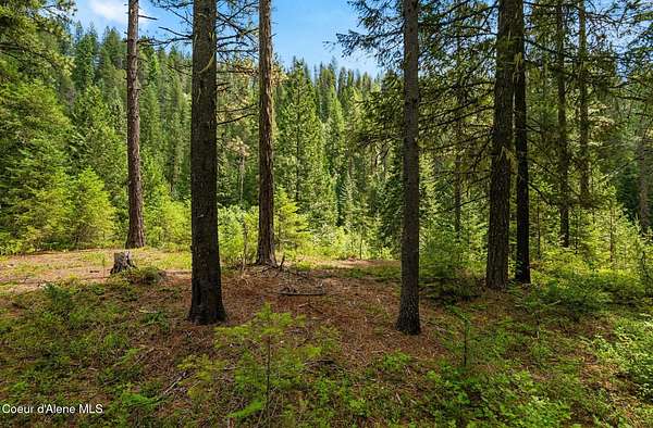
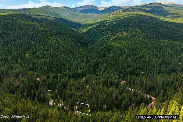
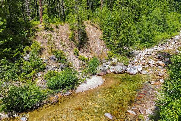
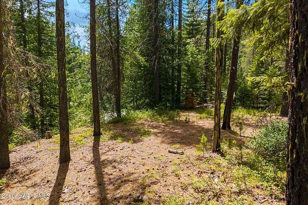
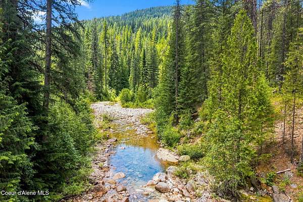
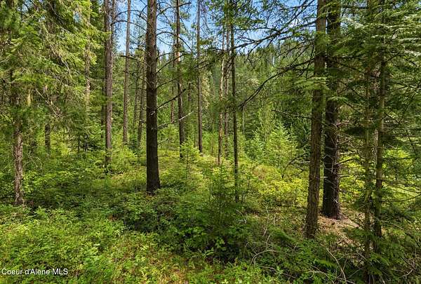
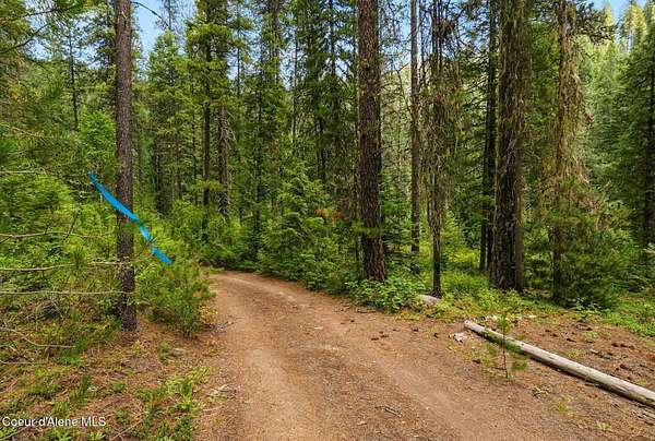
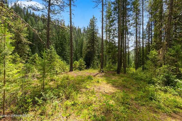
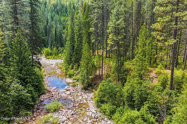
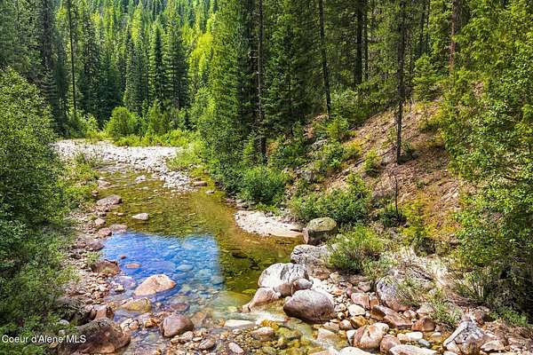
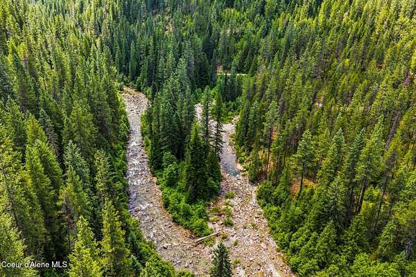
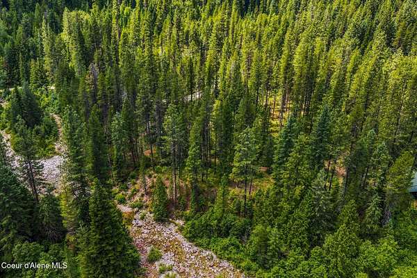
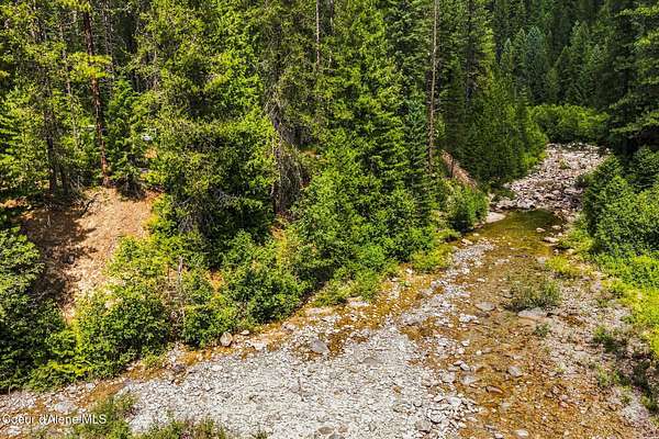
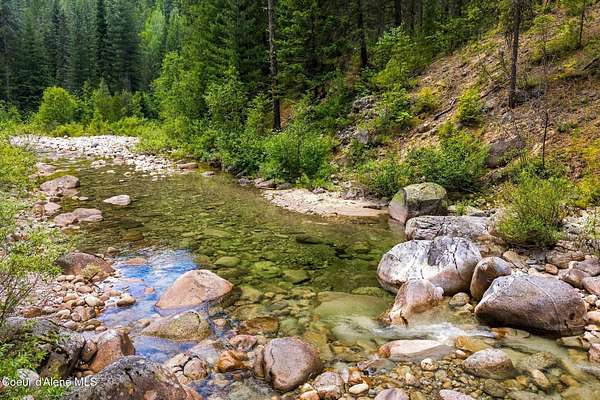
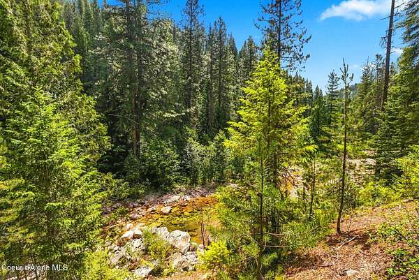
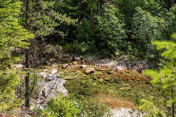
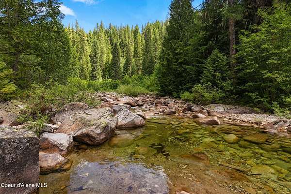
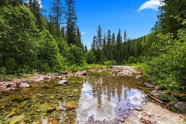
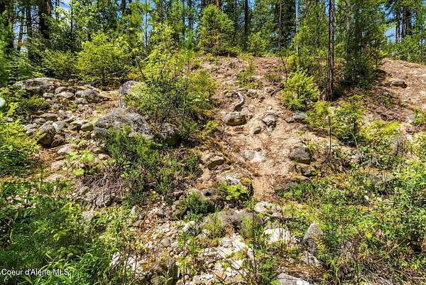
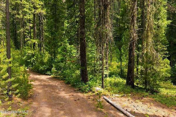
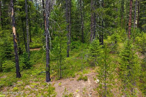
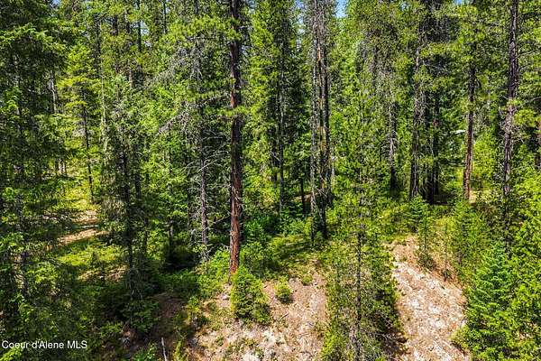
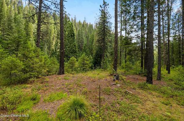
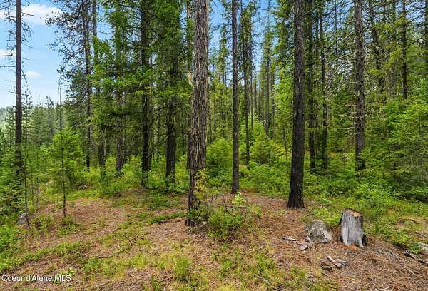
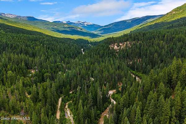
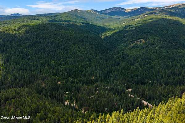
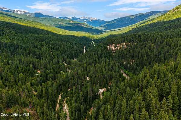
Off-grid riverfront retreat perched up high and dry on the Upper Pack River! This 0.31-acre parcel offers approximately 146 feet of frontage along the west bank of the Upper Pack River, tucked deep in the Selkirk Mountains just north of Sandpoint and Schweitzer Mtn Ski Resort. With private sandy river frontage and cool water soaking holes with Kaniksu National Forest across the river as your neighbors, your privacy is protected! Access is via a deeded, perpetual roadway easement connecting to Upper Pack River Road, making this a true off-grid getaway for those who want privacy and a direct connection to the water. Paved access most of the way, then a few miles of gravel road that is plowed year round by the local residents who live there, a huge bonus for year round access and recreational action! The surrounding area is one of North Idaho's most highly desired recreational destinations. The Upper Pack River corridor is known for granite swimming holes, hunting, fly fishing, the Kamloop spring run and whitewater kayaking during spring runoff. Nearby trailheads lead to Chimney Rock, Beehive Lake, and Harrison Lake, all within the Idaho Panhandle National Forests. Snowmobiling trails are also close by, making this a great winter destination as well as asummer one. Wildlife, alpine scenery, and cold, clear water define this relaxing stretch of the Pack River. With its remote setting and recreational appeal, this parcel could make an excellent vacation getaway or rental income property. A rare opportunity to own a piece of riverfront in one of North Idaho's most scenic and recreational drainages. No HOA's or CCR's. Bring the ATV and RV's!Huckleberries included. This one is a true North Idaho gem!
Location
- Street address
- Lantern Ln
- County
- Bonner County
- Zip code
- 83864
- Community
- North (Bonner & Boundary)
- School district
- Boundary Co - 101
- Elevation
- 2,501 feet
Directions
From Sandpoint: Take HWY 95 N appx 10 mi to the Samuels Station. Turn Left onto Upper Pack River Rd, continue approx. 15 mi to Lantern Ln on the Right.Take Lantern Ln to the property on the R. Gated.
Property details
- Lot size
- 0.31 acres13,504 sq ft
- Zoning
- Rural
- MLS #
- CDAAR 26-7274
- Posted
Property taxes
- 2025
- $170
Parcels
- RP60N02W219010A
Legal description
TAX 13 SEC 21 T60N R2w
Details and features
Listing
- Type
- Land
Lot
- View
- River, Territorial
- Waterfront
- Yes
- Features
- Borders Special Land, Level, Sloped, Wooded
Listing history
| Date | Event | Price | Change | Source |
|---|---|---|---|---|
| July 15, 2026 | New listing | $99,000 | — | CDAAR |