Residential Land for Sale in Las Vegas, Nevada
Clark County, Las Vegas, NV 89161
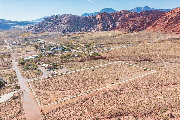
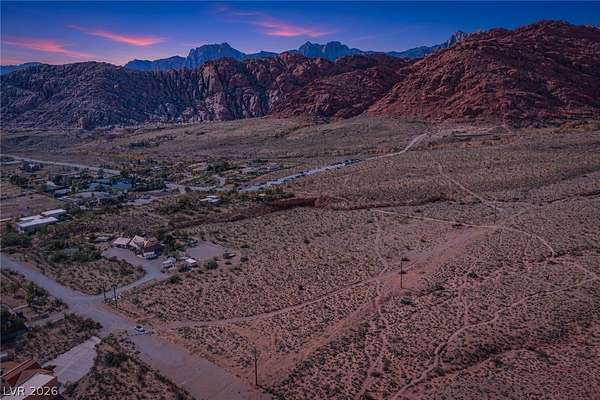
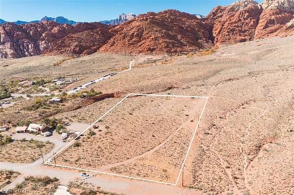
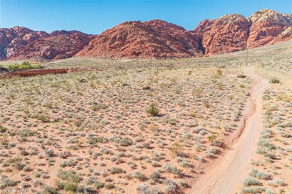
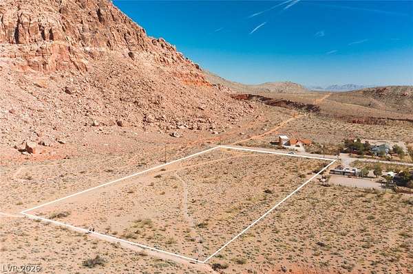
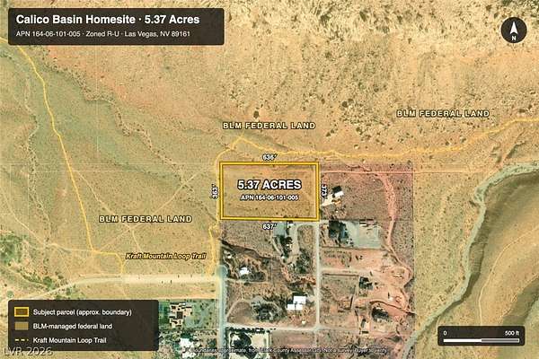
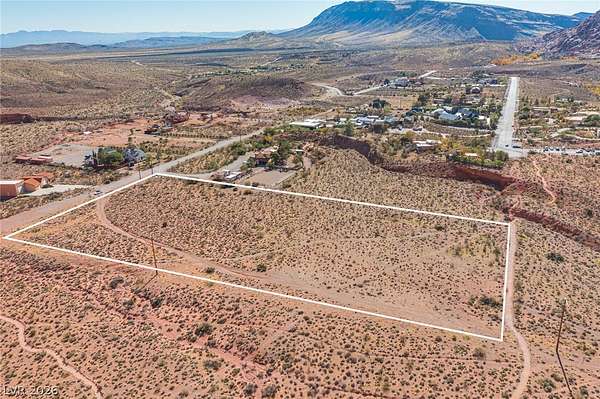
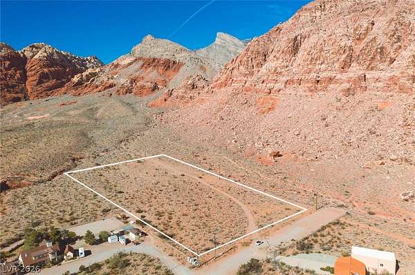
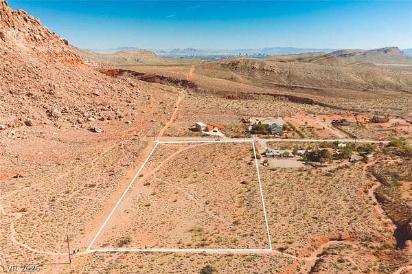
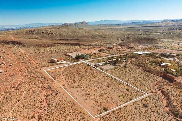
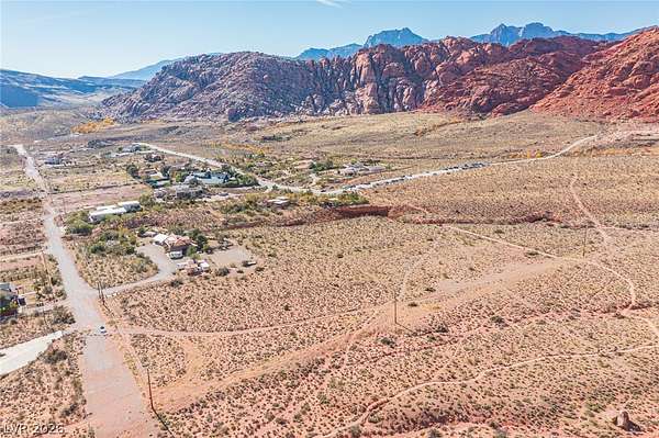
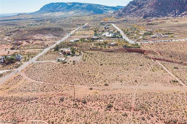
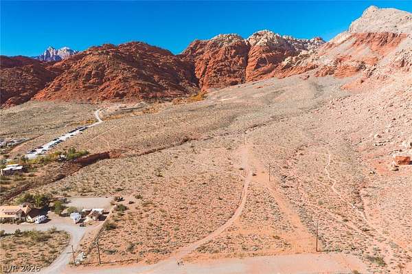
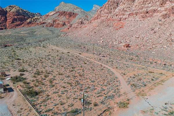
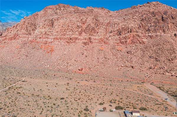
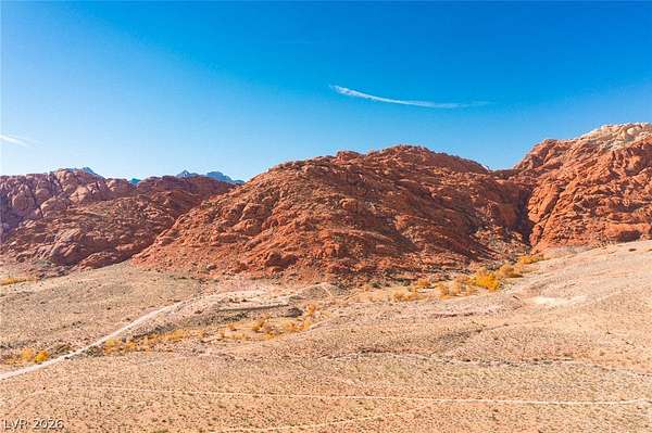
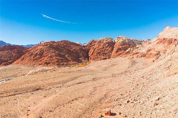
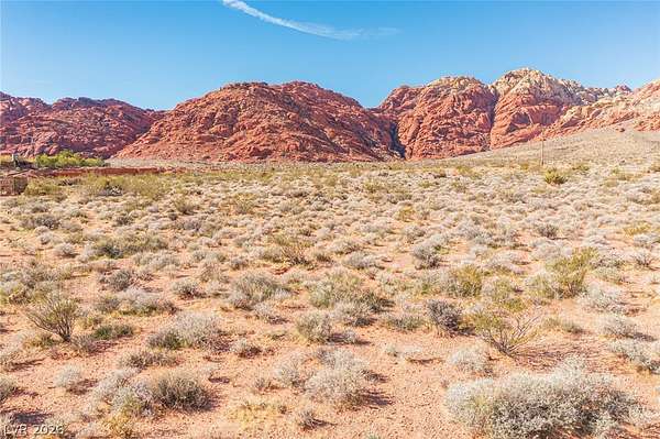
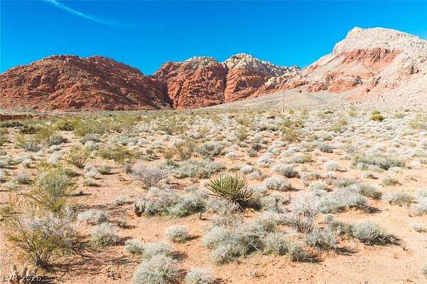
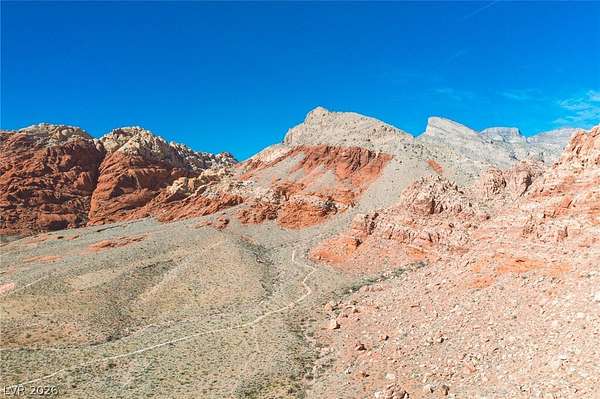
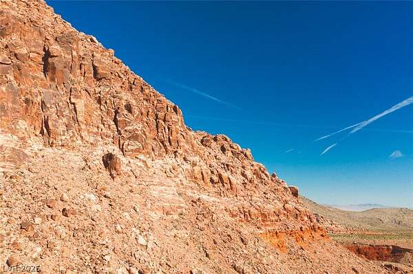
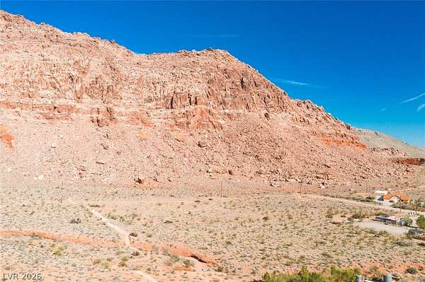
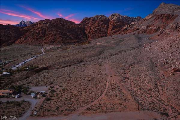
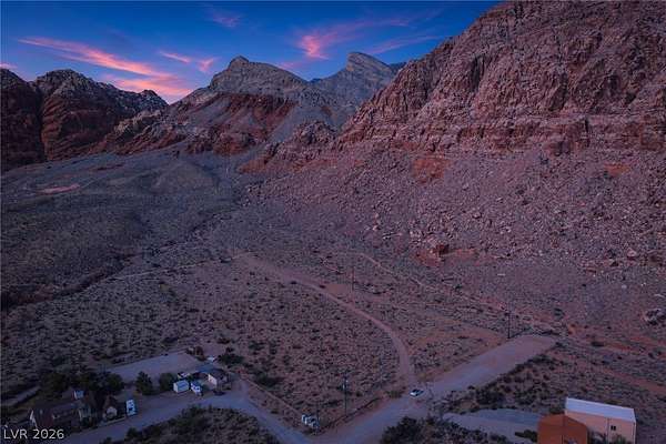
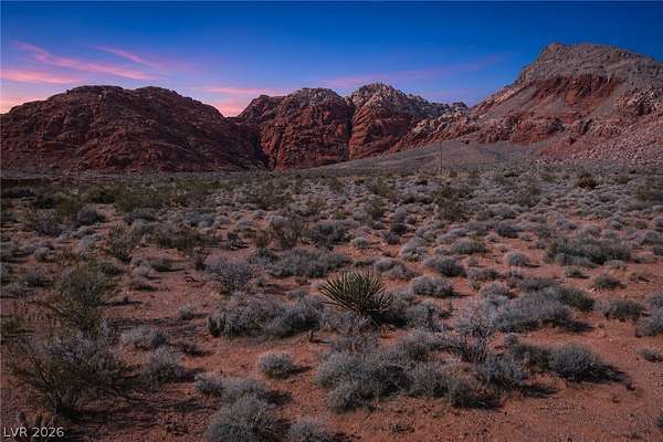
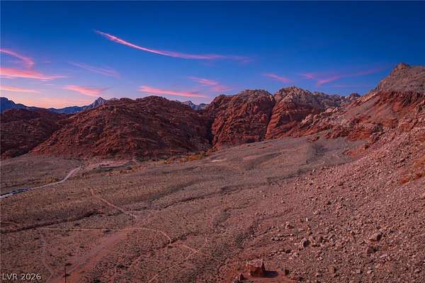
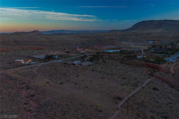
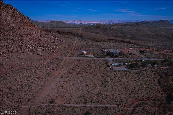
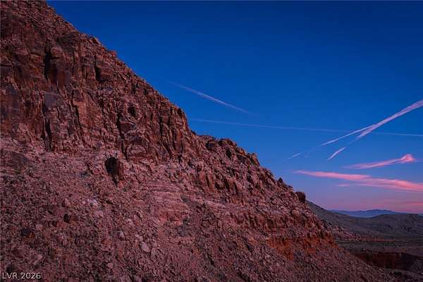
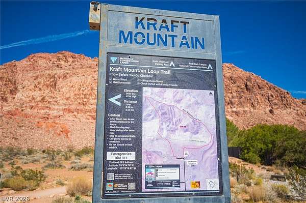
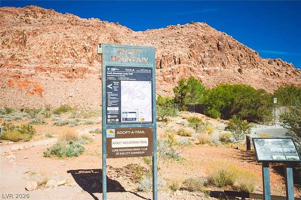
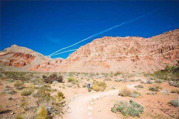
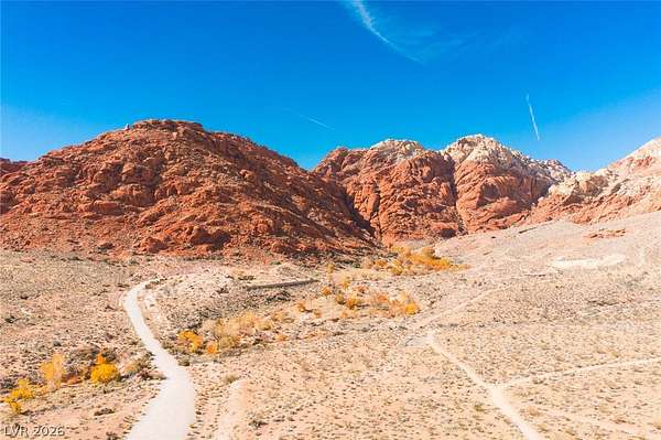
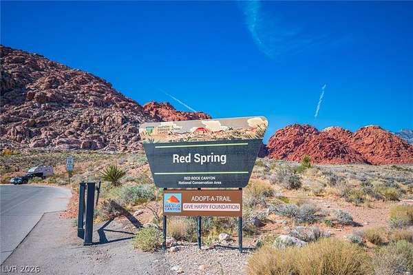
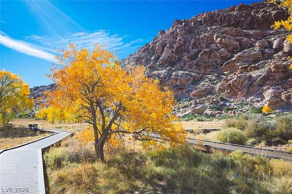
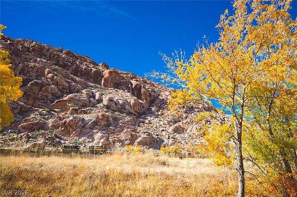
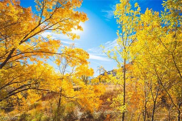
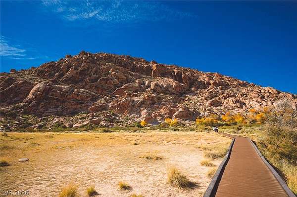
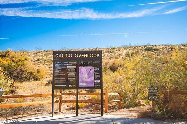
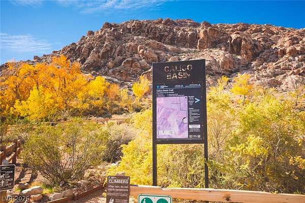
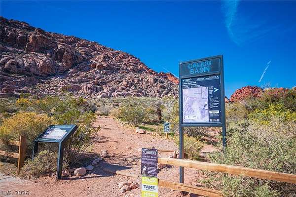
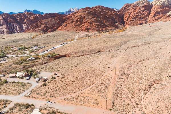
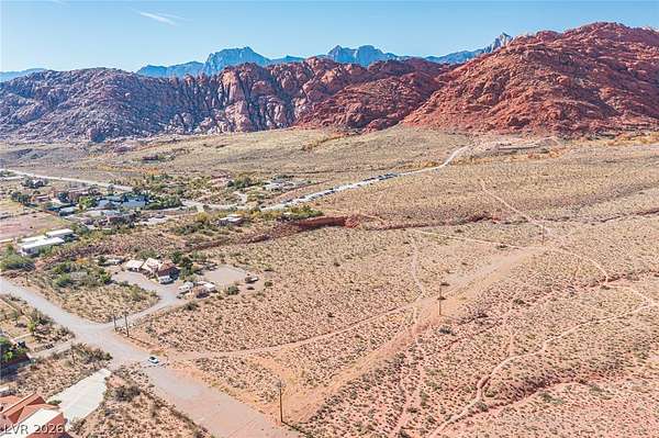
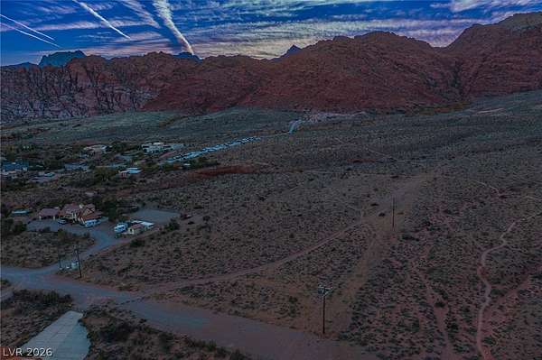
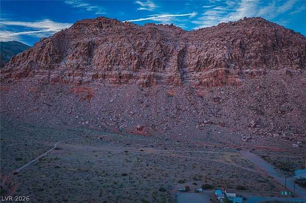
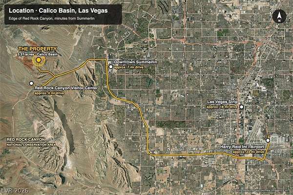
Where Calico Basin ends and Red Rock Canyon begins. This 5.37-acre homesite sits on the outer edge of the basin, with BLM federal land along its north and west boundaries, protecting sweeping views of the Red Rock escarpment and Calico Hills for good. The Kraft Mountain Loop trail runs along the property, putting hiking, bouldering and world-class climbing right outside your door, with just one neighboring parcel. R-U zoning allows one home per two acres, creating the option of a private estate or a two-home family compound. Ownership is pursuing a parcel map for two lots (not yet approved; buyer to verify). Gravel road access on the east side and power nearby. Capped well on site. Minutes from Summerlin, yet surrounded by protected desert. A rare opportunity to build at the edge of one of the West's great landscapes. Bring your architect and build something unforgettable against the backdrop of Red Rock.
Location
- County
- Clark County
- Zip code
- 89161
- Elevation
- 3,702 feet
Directions
From 215, go west on W Charleston Blvd (SR-159), right on Calico Basin Rd, right on Calico Dr, left on Assisi Canyon, right on Sandstone, right on Heyer, then left on Calico Dr to the end. Property is on the left.
Property details
- Acreage
- 5.37 acres
- MLS #
- GLVAR 2835547
- Posted
Property taxes
- Recent
- $6,595
Parcels
- 164-06-101-005
Details and features
Listing
- Type
- Land
- Address
- Calico Basin
- Zoning
- Family-2 Acres or More, Single Family
Lot
- Features
- Corner Lot
Structure
- Water
- Well
Property utilities
| Category | Type | Status |
|---|---|---|
| Power | Grid | Available |
Listing history
| Date | Event | Price | Change | Source |
|---|---|---|---|---|
| Nov 20, 2026 | New listing | $3,900,000 | — | GLVAR |