Properties
Find agent
Post property
Log in
Sign up
Search here
List
Lincolnton, NC land for sale
Price
Size
Filters
Save search
126 properties
For you
For you
Newest
Price hi-lo
Price lo-hi
Size hi-lo
Size lo-hi
Updated
23 days
$5k drop • Dec 8
$120,000
3.35 acres
Lincoln County
Lincolnton, NC 28092
17 days
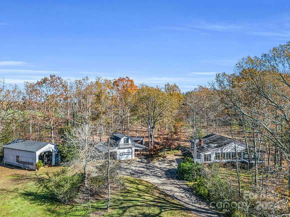
$1,299,000
11.6 acres
Lincoln County
4 bd, 4 ba • 4,002 sq ft
Lincolnton, NC 28092
6 hours
$50,000
0.75 acres
Lincoln County
Lincolnton, NC 28092
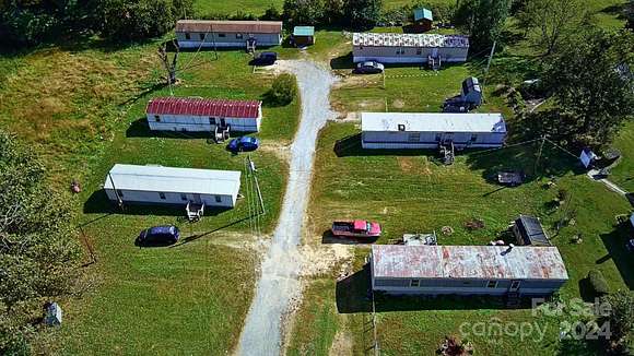
50 days ago
$649,900
33 acres
Lincoln County
Lincolnton, NC 28033
$25k drop • Dec 5
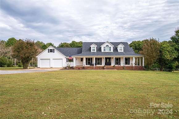
$599,500
8.69 acres
Lincoln County
3 bd, 3 ba • 2,940 sq ft
Lincolnton, NC 28092
$5k drop • Nov 16
$59,900
2.85 acres
Lincoln County
Lincolnton, NC 28092
11 days
$78,000
0.64 acres
Lincoln County
Lincolnton, NC 28092
$185k drop • Oct 5
$440,000
1 acre
Lincoln County
Lincolnton, NC 28092
29 days
$95,000
2.4 acres
Lincoln County
Lincolnton, NC 28092
$62k drop • Nov 18
$825,000
5 acres
Lincoln County
3 bd, 3 ba • 2,381 sq ft
Lincolnton, NC 28092
$5k drop • Nov 20
$284,900
2.78 acres
Lincoln County
2 bd, 2 ba • 1,321 sq ft
Lincolnton, NC 28092
$74.4k drop • Dec 13
$400,000
24.3 acres
Lincoln County
Lincolnton, NC 28092
6 months ago
$40,000
1.37 acres
Lincoln County
Lincolnton, NC 28092
$45k drop • Nov 14
$300,000
24 acres
Lincoln County
Lincolnton, NC 28092
2 years ago
$100,000
3.31 acres
Lincoln County
Lincolnton, NC 28092
28 days
$539,900
4.55 acres
Gaston County
5 bd, 3 ba • 2,500 sq ft
Lincolnton, NC 28092
19 months ago
$13,000
0.45 acres
Lincoln County
Lincolnton, NC 28092
32 days ago
$275,000
3.19 acres
Lincoln County
3 bd, 3 ba • 1,904 sq ft
Lincolnton, NC 28092
pending
Under contract
$52,900
0.48 acres
Lincoln County
Lincolnton, NC 28092
3 months ago
$395,000
8.4 acres
Lincoln County
Lincolnton, NC 28092
4 months ago
$200,000
10 acres
Lincoln County
Lincolnton, NC 28092
5 months ago
$35,000
0.36 acres
Lincoln County
Lincolnton, NC 28092
8 months ago
$3,250,000
306 acres
Catawba County
Lincolnton, NC 28092
5 months ago
$35,000
0.34 acres
Lincoln County
Lincolnton, NC 28092
5 months ago
$35,000
0.4 acres
Lincoln County
Lincolnton, NC 28092
$50k drop • Dec 1
$749,000
5.58 acres
Lincoln County
4 bd, 5 ba • 5,874 sq ft
Lincolnton, NC 28092
$16.8k drop • Nov 15
$10,000
0.87 acres
Lincoln County
Lincolnton, NC 28092
19 months ago
$49,000
2.28 acres
Lincoln County
Lincolnton, NC 28092
3 years ago
$16,000
0.29 acres
Lincoln County
Lincolnton, NC 28092
43 days ago
$99,900
4 acres
Lincoln County
Lincolnton, NC 28092
17 months ago
$450,000
25.5 acres
Lincoln County
2 bd, 1 ba • 917 sq ft
Lincolnton, NC 28092
2 years ago
$450,000
8.41 acres
Lincoln County
Lincolnton, NC 28092
10 months ago
$149,500
7.39 acres
Lincoln County
Lincolnton, NC 28092
11 months ago
$2,250,000
74.6 acres
Lincoln County
Lincolnton, NC 28092
15 months ago
$125,000
0.57 acres
Gaston County
Lincolnton, NC 28092
1 day
$347,000
6 acres
Lincoln County
3 bd, 1 ba • 1,161 sq ft
Lincolnton, NC 28092
pending
Under contract
$359,999
10 acres
Lincoln County
3 bd, 2 ba • 1,904 sq ft
Lincolnton, NC 28092
pending
Under contract
$449,500
7.2 acres
Lincoln County
3 bd, 2 ba • 2,237 sq ft
Lincolnton, NC 28092
52 days ago
$499,000
2.7 acres
Lincoln County
4,260 sq ft
Lincolnton, NC 28092
pending
Under contract
$645,000
9 acres
Lincoln County
3 bd, 5 ba • 2,632 sq ft
Lincolnton, NC 28092
pending
Under contract
$950,000
15 acres
Lincoln County
Lincolnton, NC 28092
2 years ago
$450,000
25.5 acres
Lincoln County
— sq ft
Lincolnton, NC 28092
10 months ago
$24,900
2 acres
Lincoln County
Lincolnton, NC 28092
pending
Under contract
$250,000
10.6 acres
Lincoln County
Lincolnton, NC 28092
pending
Under contract
$498,500
4.78 acres
Lincoln County
4 bd, 3 ba • 1,230 sq ft
Lincolnton, NC 28092
$32.5k drop • Nov 28
$180,000
0.26 acres
Lincoln County
2 bd, 2 ba • 1,240 sq ft
Lincolnton, NC 28092
10 months ago
$24,900
1.3 acres
Lincoln County
Lincolnton, NC 28092
10 months ago
$24,900
1 acre
Lincoln County
Lincolnton, NC 28092
8 days
$2,950,000
3 acres
Lincoln County
— sq ft
Lincolnton, NC 28092
$2k drop • Oct 8
$9,500
0.44 acres
Lincoln County
Lincolnton, NC 28092
1
2
3
1-50 of 126 properties
View map