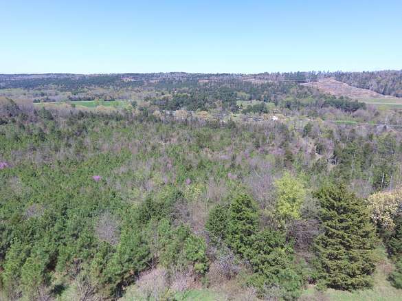
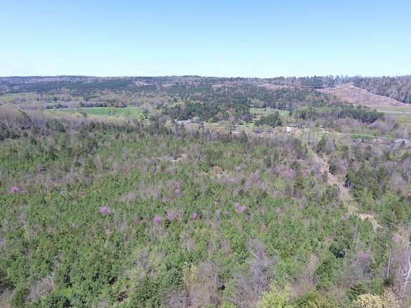
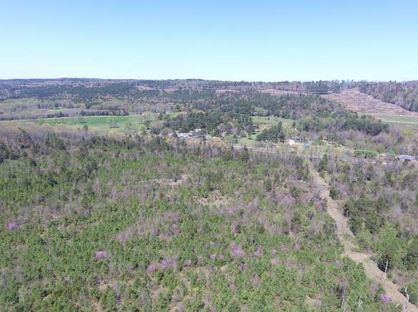
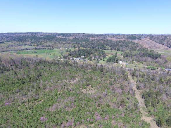
Land for Sale in London, Arkansas
Pope County London, AR 72847
Images
Map
Street

$399,900
61.24 acres
Active sale agoEst $3,081/mo
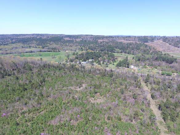
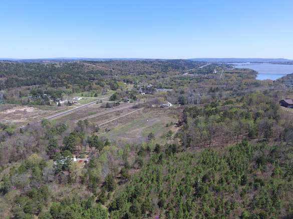
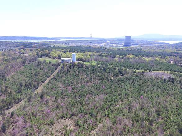
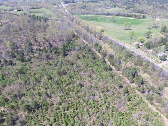
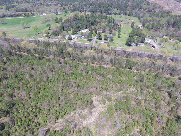
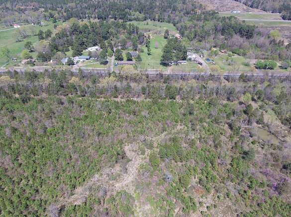
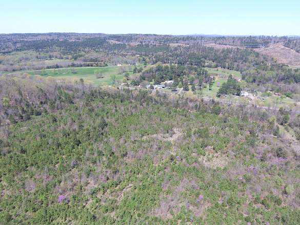
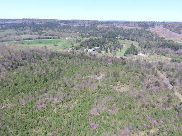
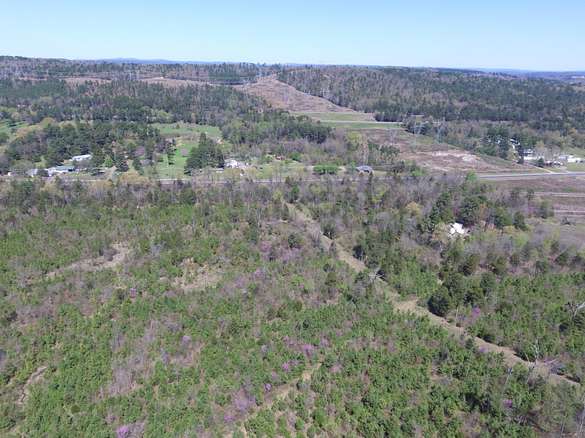
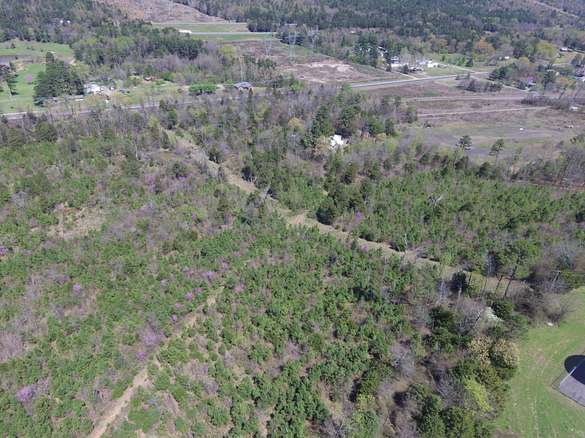
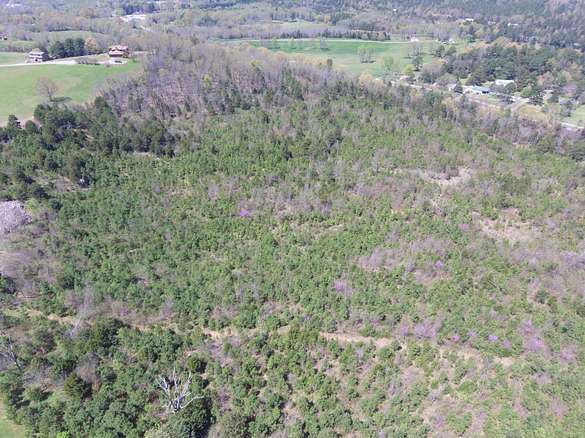
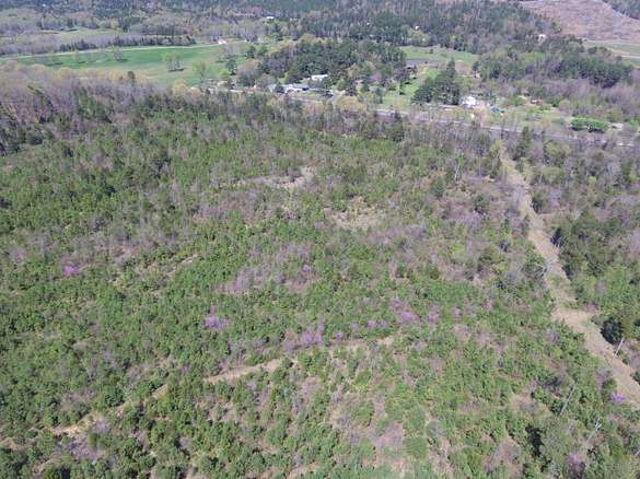
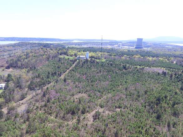
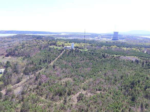
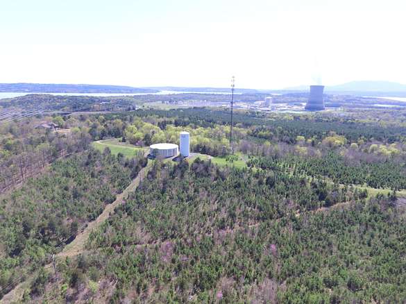
Highly visible 60+ wooded acres located between Hwy 64 and 333. Easement for City of London water tower and communications tower access.
Directions
Take Hwy 64 W to London, take left on Hwy 333 towards Nuclear Plant, the next gate on your right past the plant entrance.
Location
- County
- Pope County
- Elevation
- 397 feet
Property details
- MLS Number
- RBOR 23-1853
- Date Posted
Parcels
- 897-00034-0000R
- 897-00036-000A
- 902-00007-000R
Legal description
28-08N-21W, see parcel IDs
Detailed attributes
Listing
- Type
- Land
Exterior
- Fencing
- Fenced
- Features
- Fencing
Nearby schools
| Name | Level | District | Description |
|---|---|---|---|
| RSVL London | Elementary | — | — |
| Russellville | High | — | — |
Listing history
| Date | Event | Price | Change | Source |
|---|---|---|---|---|
| Oct 7, 2023 | New listing | $399,900 | — | RBOR |
Payment calculator
Wetzel Group
Arkansas Real Estate Collective
Contact listing agent
By submitting, you agree to the terms of use, privacy policy, and to receive communications.