Images
Map
Land for Sale in Angel Fire, New Mexico
Pam Coleman Drive Lot: 91Ab, Angel Fire, NM 87710
$230,000
12 acres
Active
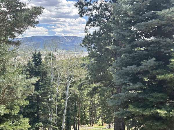
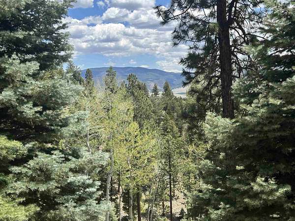
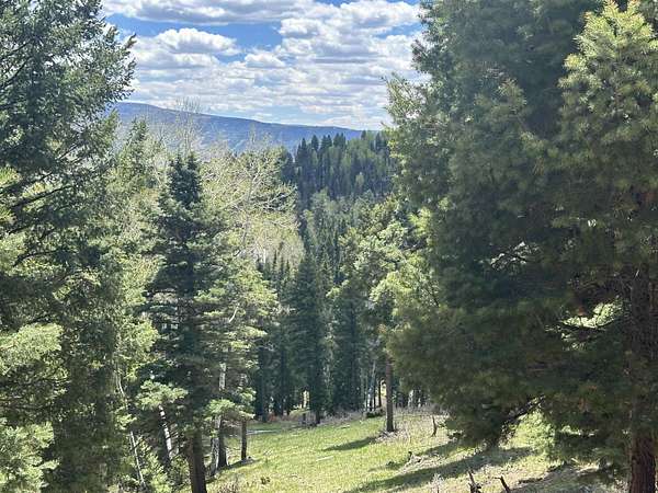
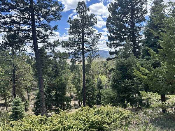
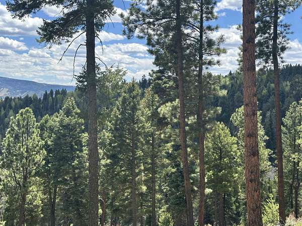
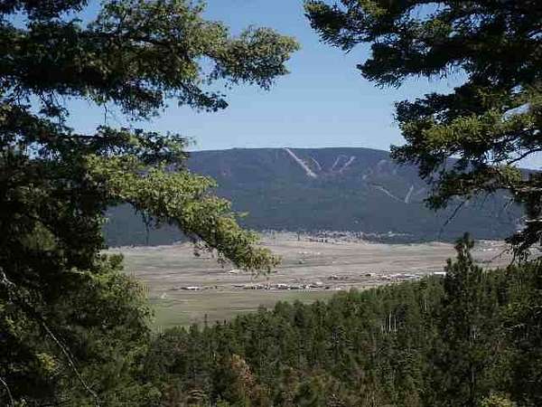
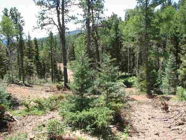
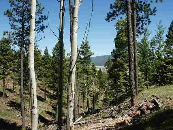
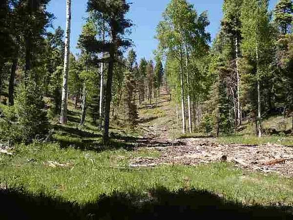
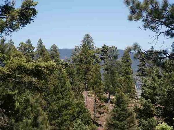
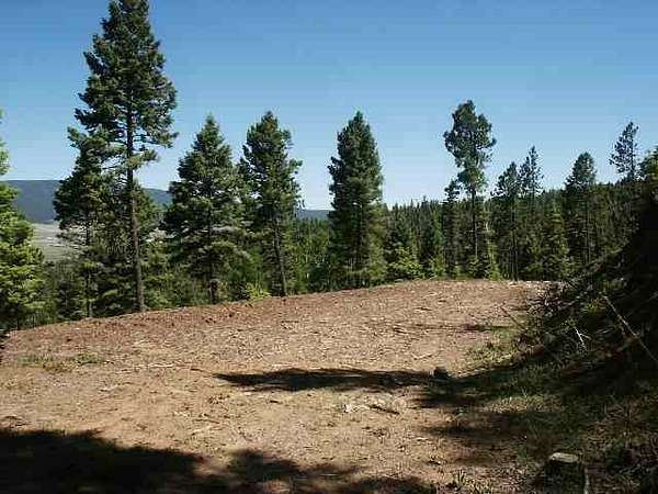
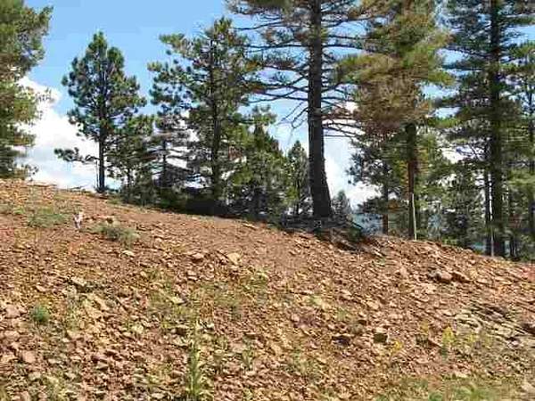
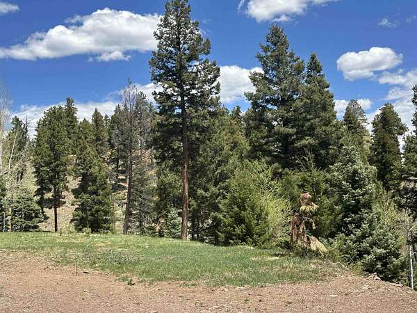
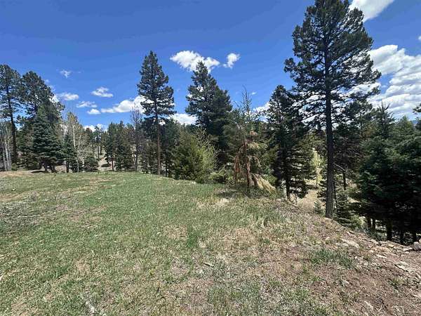
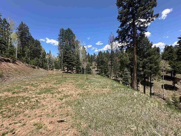
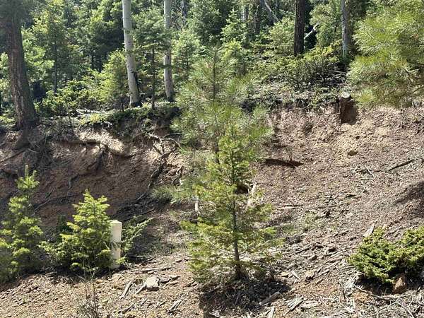
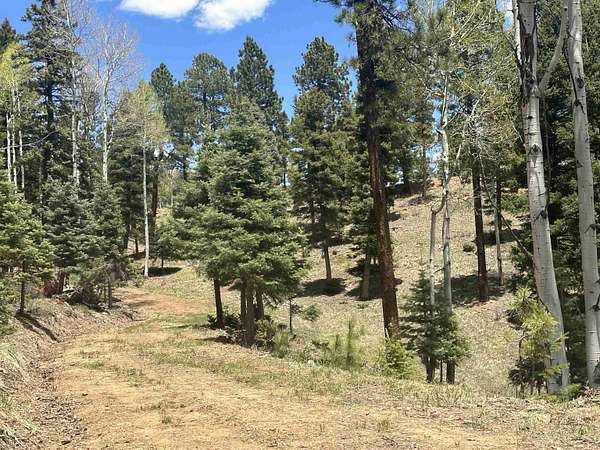
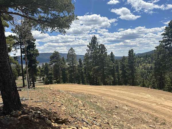
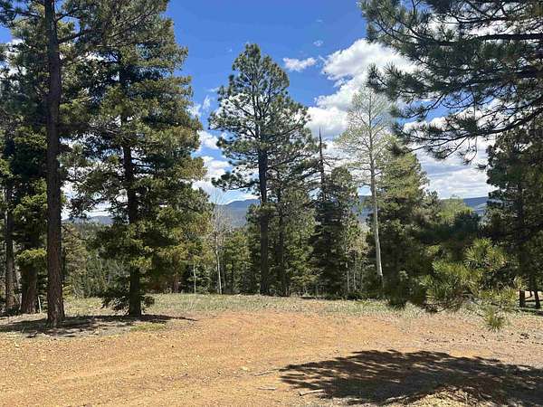
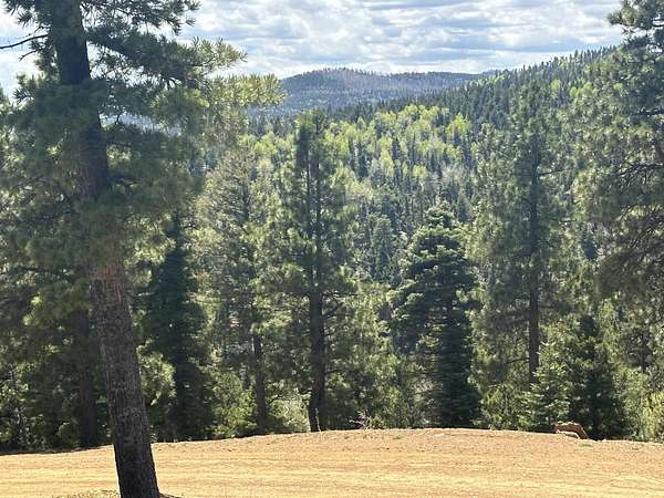
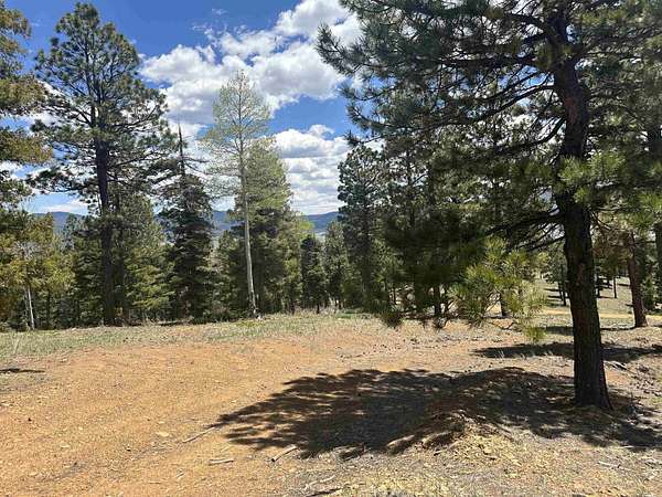
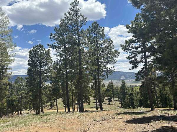
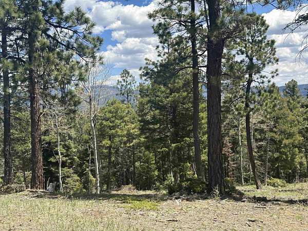
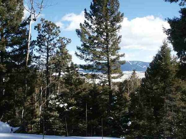
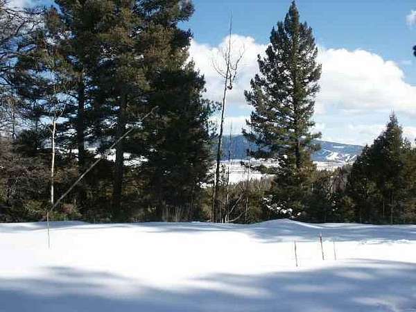
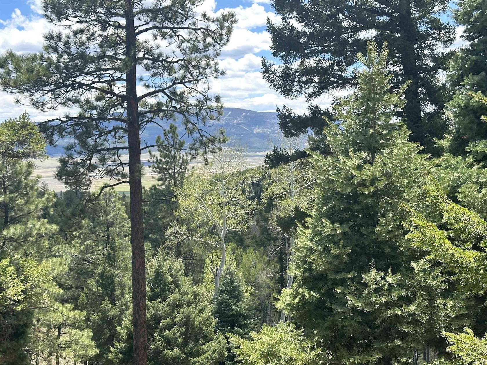
Est $1,712/moFabulous parcel with awesome views of the Angel Fire Ski Mountain and the Moreno Valley. The parcel backs up to Taos Pueblo land on 91B side. There is a trail leading down to Nine Mile Creek. A well has been drilled and capped with a 15 gpm yield! A rough-cut driveway leads to a cleared building site. This parcel has it all!
Location
- Street address
- Pam Coleman Drive Lot: 91Ab
- County
- Colfax County
- Community
- Taos Pines
- Elevation
- 8,527 feet
Directions
From Angel Fire take the low road in to Taos Pines Ranch. Follow Pam Coleman Drive to the top of the ridge. The Parcel is on the right and left side of the road. From Taos take the Taos Pines Ranch entrance at the top of pass follow Palo Flechado Ridge Road road approx. 3 miles. See sign on the right side of the road. There is a rough cut driveway to the building site
Property details
- Acreage
- 12.05 acres
- MLS #
- TAOSMLS 111756
- Posted
Legal description
Lot 91 A & B Taos Pines Ranch Subdivision
Details and features
Listing
- Type
- Land
Lot
- Vegetation
- Wooded
- Features
- Horse Property, Secluded, Stream Creek, Views
Structure
- Water
- Well
Nearby schools
| Name | Type |
|---|---|
| Eagle Nest Elem | Elementary |
| Moreno High | Middle |
| Moreno High | High |
Listing history
| Date | Event | Price | Change | Source |
|---|---|---|---|---|
| May 21, 2024 | New listing | $230,000 | — | TAOSMLS |
Payment calculator
Contact listing agent
By submitting, I agree to the terms of use and to be contacted by real estate professionals. Message and data rates may apply.