


Images
Map
Street
Mixed-Use Land for Sale in Louisa, Kentucky
Map: 105-80-00-039.00 D St, Louisa, KY 41230
$100,000
3.53 acres
Active sale
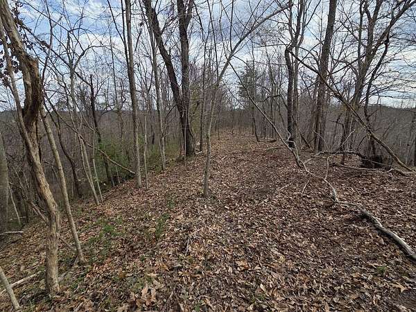
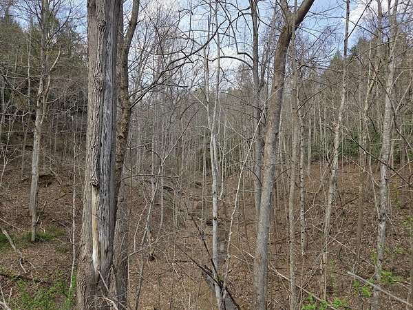
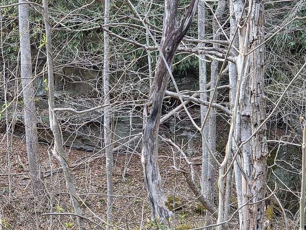
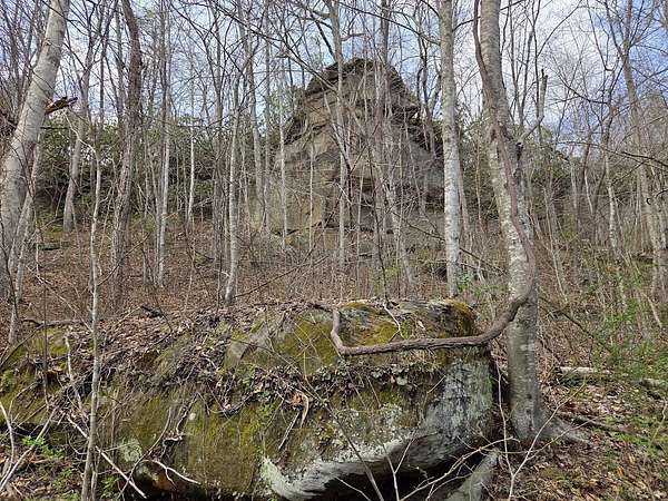
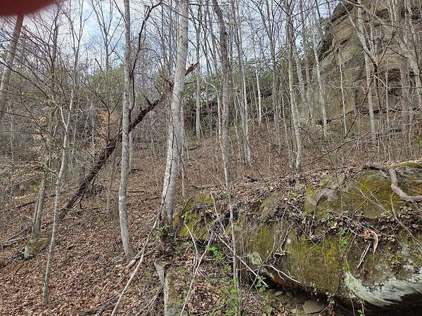
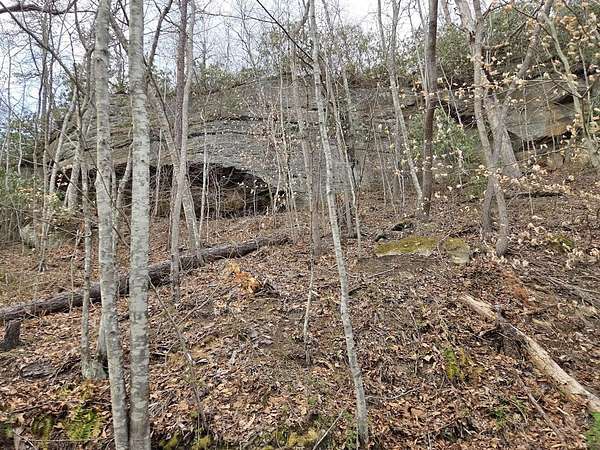
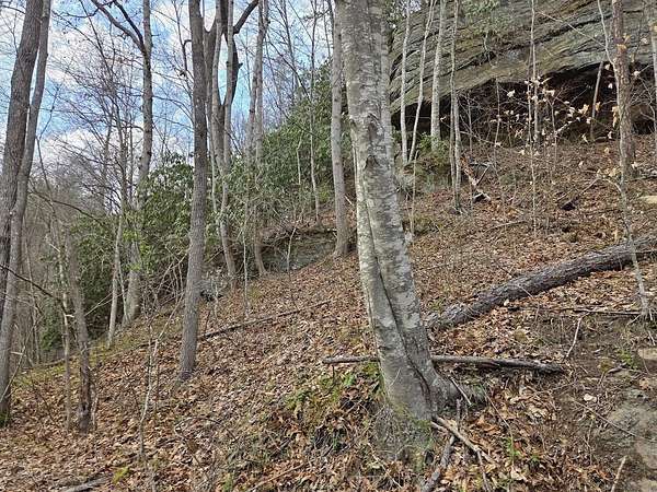
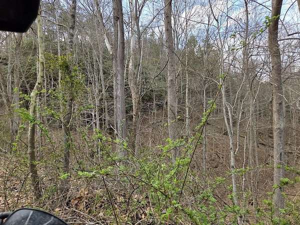
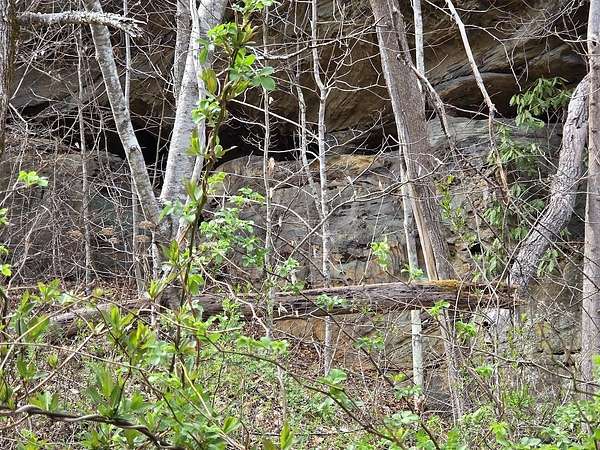
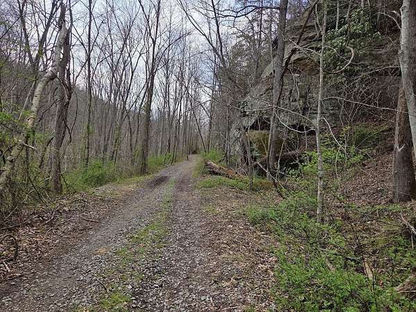
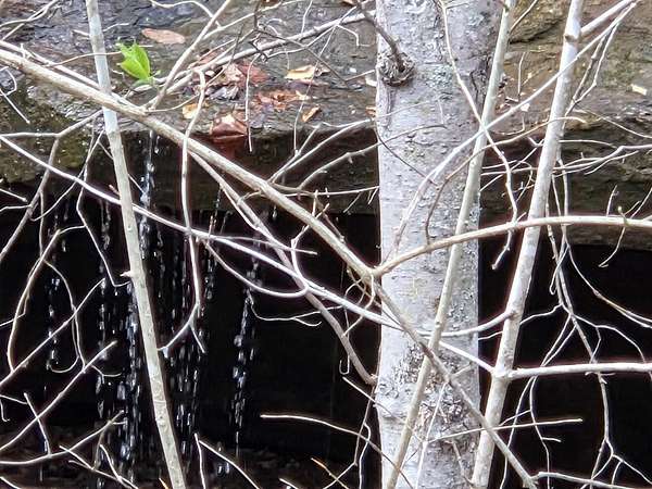
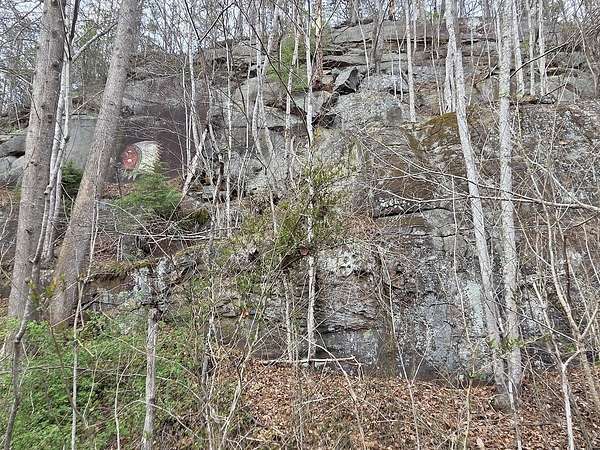
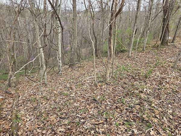
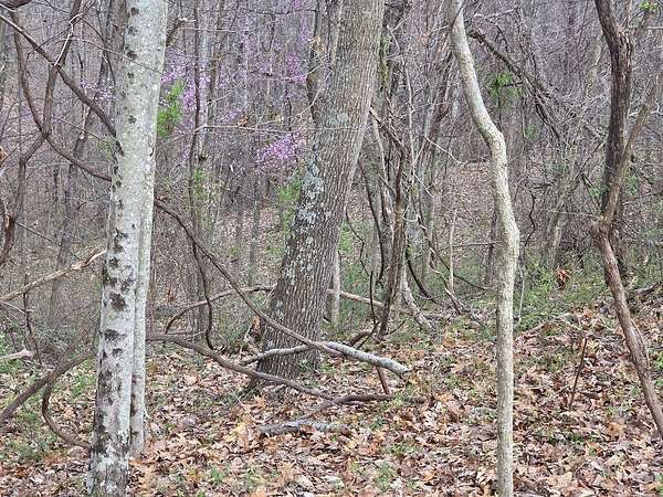
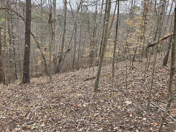
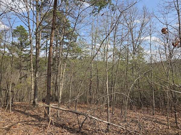
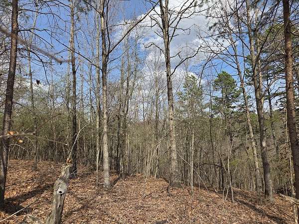
Est $734/mo3.53+/- acres of opportunity on D Street! Recently surveyed as commercial, this scenic tract offers rolling hills, mature trees, and multiple usable flat areas. Conveniently located near hospitals, schools, shopping, dining, and residential development. Great potential for investment, development, or mixed-use possibilities. Buyer and buyer's agent to verify zoning/use.
Location
- Street address
- Map: 105-80-00-039.00 D St
- County
- Lawrence County
- Zip code
- 41230
- Elevation
- 660 feet
Directions
From I-64 Exit 191 (Catlettsburg/Ashland), take US-23 South toward Louisa. Continue on US-23 approximately 22-24 miles into Louisa. Once in town, follow local signage and turn onto D Street. Property is located on D Street, Louisa, KY (Lawrence County). Buyer and buyer's agent to verify exact location and acc
Property details
- Acreage
- 3.532 acres
- Zoning
- Residential
- MLS #
- LBAR 26001303
- Posted
Details and features
Listing
- Type
- Land
- Address
- MAP: 105-80-00-039.00 D Street
- Franchise
- Century 21 Real Estate
Lot
- Features
- Hilly, Level, Rolling Slope, Wooded
Listing history
| Date | Event | Price | Change | Source |
|---|---|---|---|---|
| Jan 19, 2026 | New listing | $100,000 | — | LBAR |
Payment calculator
Contact listing agent
By submitting, I agree to the terms of use and to be contacted by . Message and data rates may apply.