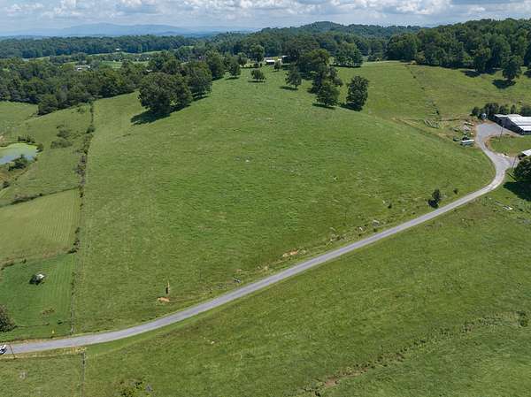
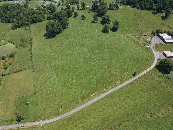
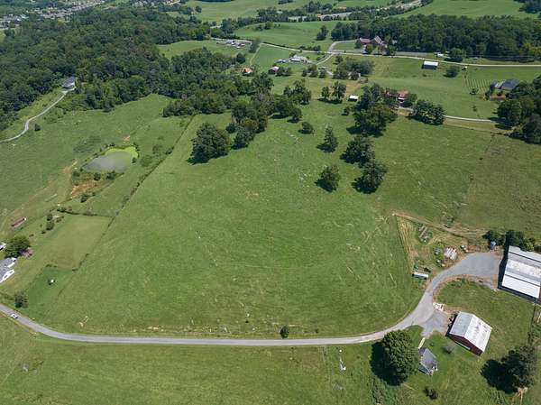
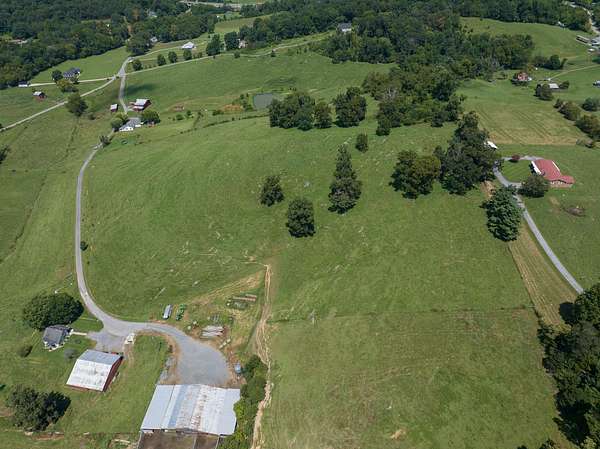
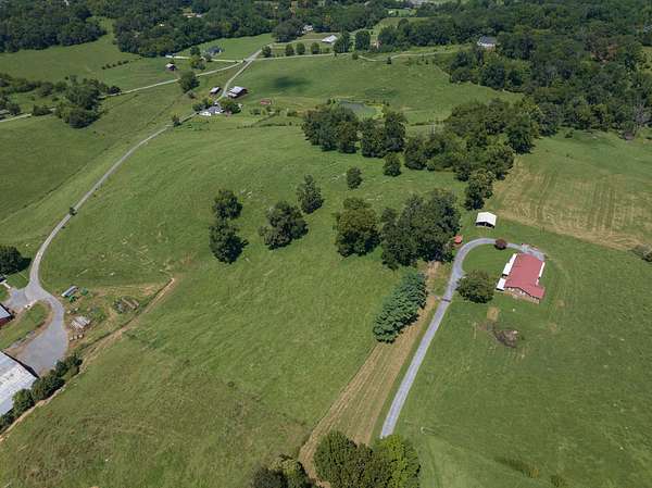
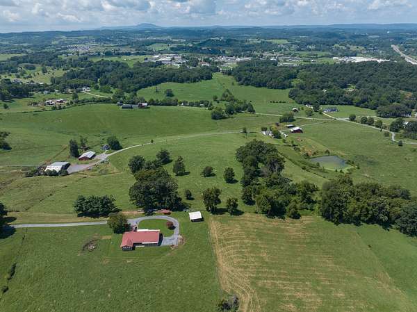
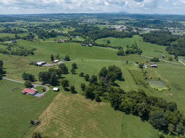
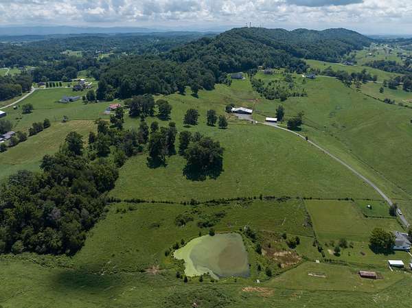
Agricultural Land for Sale in Johnson City, Tennessee
McCray Rd, Johnson City, TN 37615
A Rare East Tennessee Land Opportunity
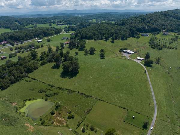
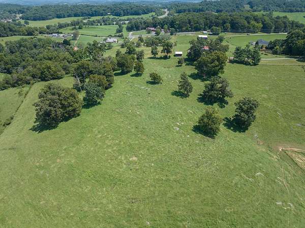
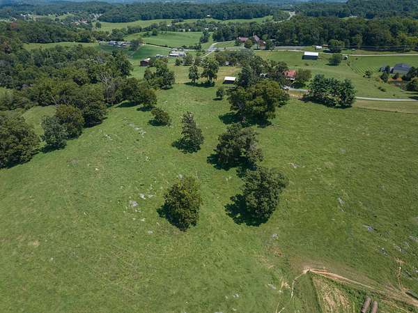
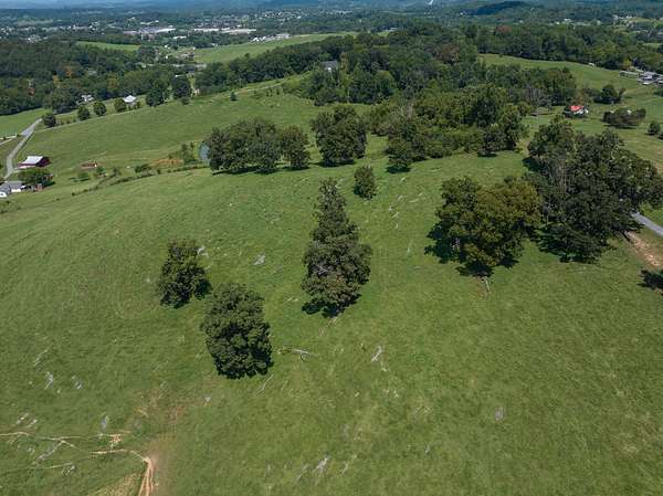
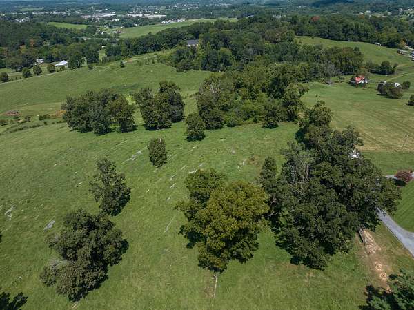
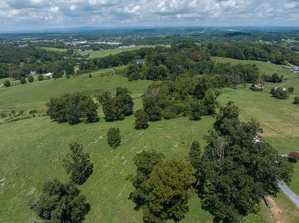
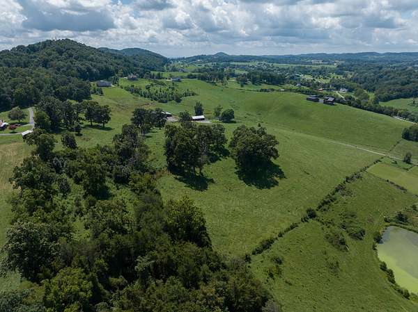
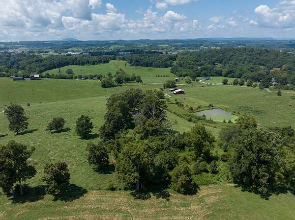
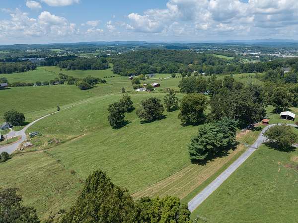
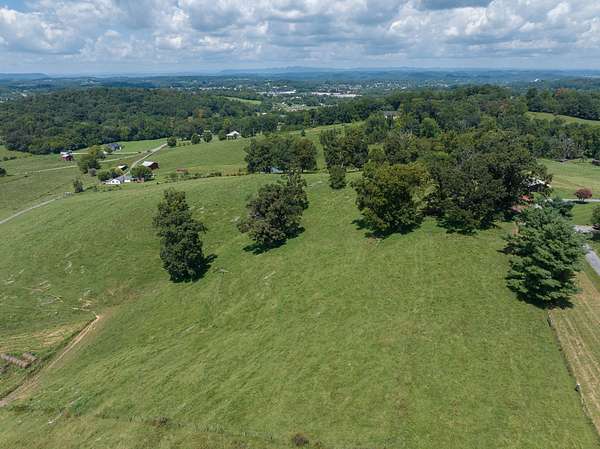
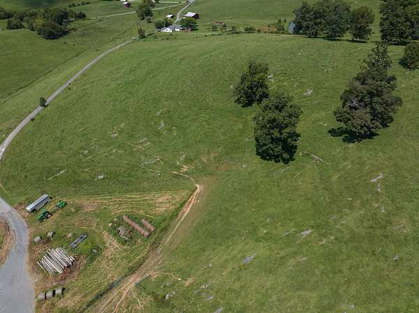
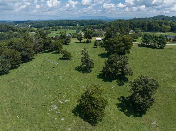
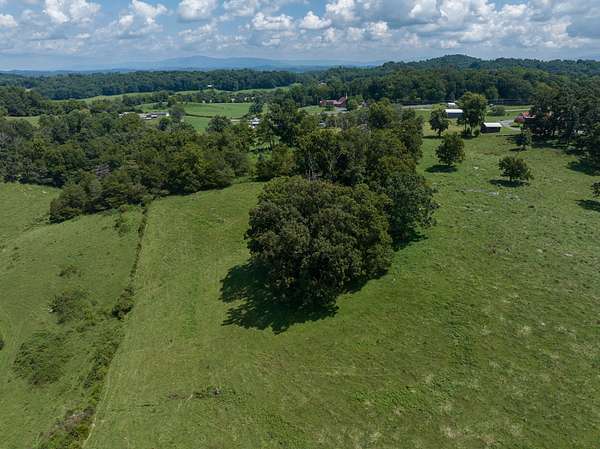
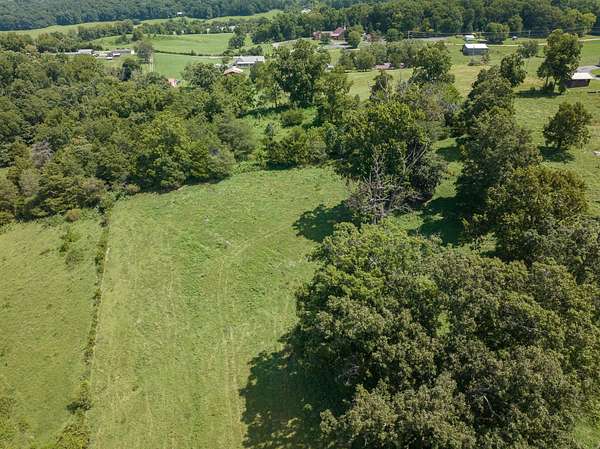
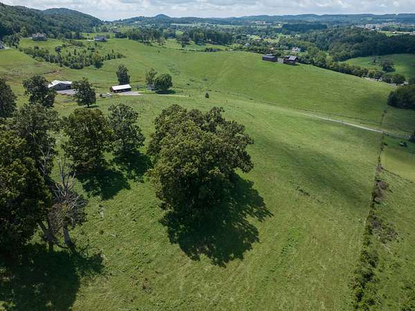
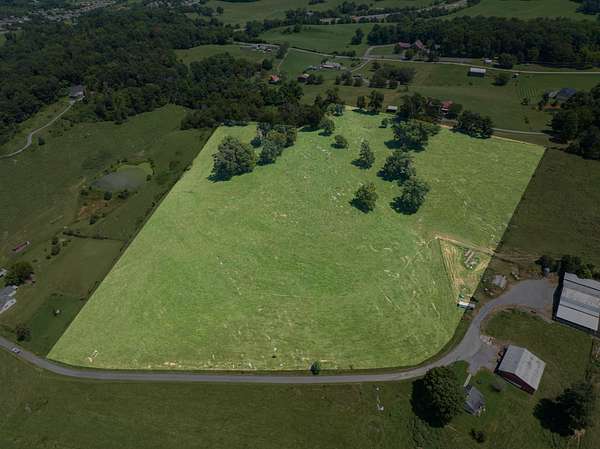
With 15.47 acres of scenic pasture, agricultural potential, established fencing, road frontage, Greenbelt agricultural tax advantages, and a completed professional high-intensity soil evaluation, this property presents an excellent opportunity for someone seeking usable acreage in one of Northeast Tennessee's desirable rural areas.
Whether envisioned as a working farm, horse property, livestock pasture, private country estate, or long-term land investment, the property combines usable acreage with the rolling terrain and mountain-country character for which East Tennessee is known.
Buyer should independently verify acreage, boundaries, Greenbelt eligibility/continuation, zoning, utilities, septic suitability, building requirements, and all intended uses with the appropriate Washington County and State of Tennessee authorities.
Location
- Street address
- McCray Rd
- County
- Washington County
- Zip code
- 37615
- School district
- Daniel Boone
Property details
- Acreage
- 15.47 acres
- Access
- Public road
- Showing
- Go on your own
- Posted
Parcels
- 020 102.7
Legal description
PARCEL ONE:
BEGINNING at a post located in the line of James W. McCray (Deed Book 244, Page 497). Thence running with the line of McCray South 00 deg. 32 min. 03 sec. West 381.11 feet to a post. Thence North 85 deg. 43 min. 05 sec. East 123.34 feet to a point located in the line of Treda Anderson (Roll 604, Image 114). Thence running with the line of Anderson South 12 deg. 09 min. 39 sec. West 161. 38 feet to an iron pin found. Thence continuing with the line of Anderson South 12 deg. 09 min. 39 sec. West 214.40 feet to a point corner to Walter Leedy (Deed Book 667, Page 571). Thence running with the line of Leedy South 12 deg. 35 min. 48 sec. West 252.22 feet to a point being the common corner for Tract 7 and Tract 8 of the Sanders property. Thence with the dividing line of Tract 7 and Tract 8 of the Sanders property North 74 deg. 35 min. 17 sec. West 570 .15 feet to a point being located at the easterly terminus of McCray Road. Thence running with the right of way of McCray Road, the following eight courses and distances: 1) North 62 deg. 26 min. 09 sec. West 94.50 feet to a point; 2) North 46 deg. 55 min. 46 sec. West 17.06 feet to a point; 3) With a curve to the right, having cord bearing North 32 deg. 27 min. 37 sec. West a radius of 225 feet and a cord length of 112.44 feet to a point; 4) North 17 deg. 59 min. 29 sec. West 22.62 feet to a point; 5) North 17 deg. 59 min. 29 sec. West 255.44 feet to a point; 6) North 16 deg. 19 min. 39 sec. West 24.19 feet to a point; 7) North 16 deg. 19 min 39 sec. West 190.89 feet to a point; 8) North 00 deg. 21 min. 04 sec. East 72.72 feet to an iron pin found being corner to McCray. Thence running with the line of McCray North 80 deg. 49 min. 29 sec. East 878.09 feet to the point of BEGINNING and containing 15 . 4 7 acres , more or less , as shown by survey of Charles T. Johnson RLS 1555, 1169 Highway 107, Jonesborough, Tennessee, 37659, entitled "Sanders Property" bearing date of 8-12- 2009, a copy of which is attached hereto.
BEING a part of the same property conveyed to Michael Allen Sanders and wife, Debra Rebecca Sanders, from Russell Waggoner and wife, Sadie C. Waggoner, being of record in Deed Book 500, Page 547 and Deed Book 500, Page 551 in the Register's Office for Washington County, Tennessee, to which reference is here made. See also Quitclaim Deed dated the 30th day of September, 2013 from Michael Allen Sanders and wife, Debra Rebecca Sanders to Michael Allen Sanders and wife, Debra Rebecca Sanders and Clifford G. Sanders and wife, Minnie Belle Sanders, of record on Roll 815, Image 1696 in the aforementioned Register's Office. The said Minnie Belle Sanders died on or about the 7th day of January, 2017.
FOR TAX ASSESSORS PURPOSE ONLY: The above property is shown on Tax Assessors P/O Map/Group P/O 020 Parcel 102.00.
Details and features
Lot
- View
- Farm, Mountain, Scenic, Woods
- Features
- Partially Wooded, Trails
Listing history
| Date | Event | Price | Change | Source |
|---|---|---|---|---|
| Aug 18, 2026 | New listing | $649,740 | — | Property seller |