Residential Land for Sale in Twentynine Palms, California
Mesquite Springs Rd, Twentynine Palms, CA 92277
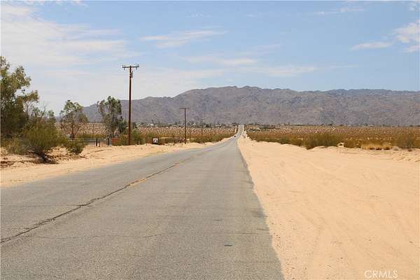
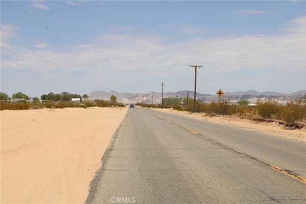
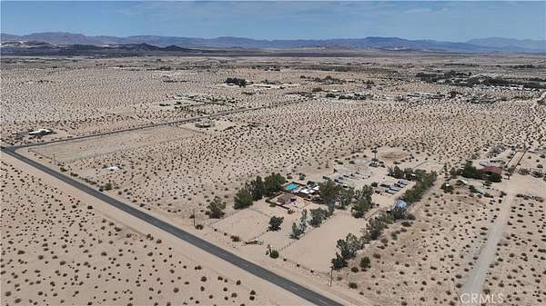
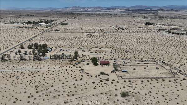
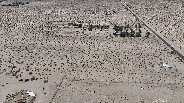
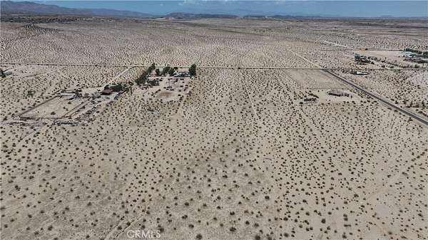
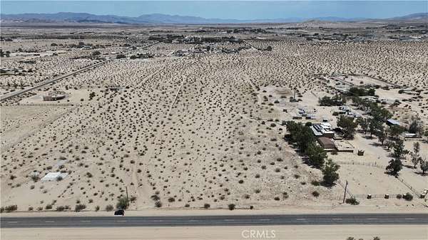
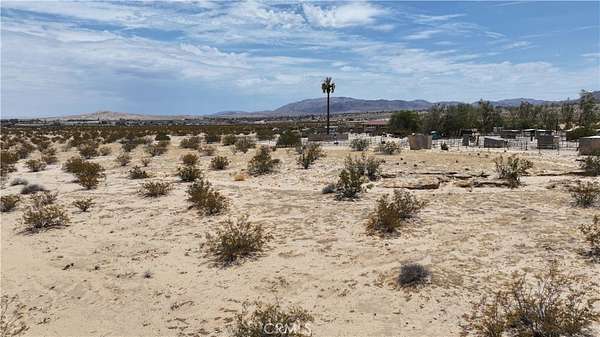
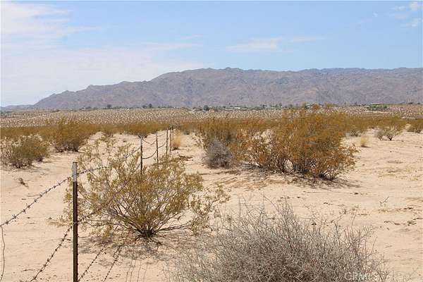
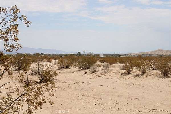
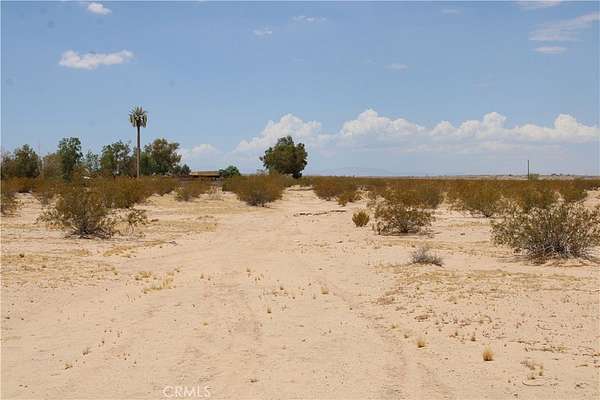
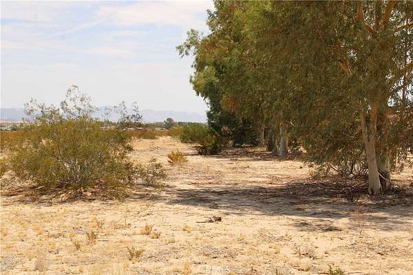
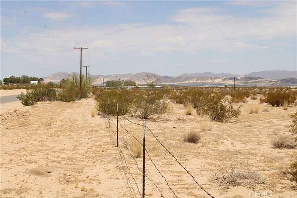
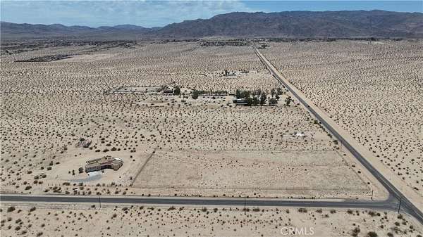
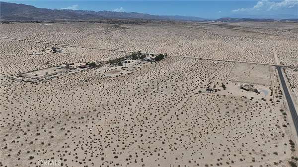
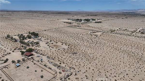
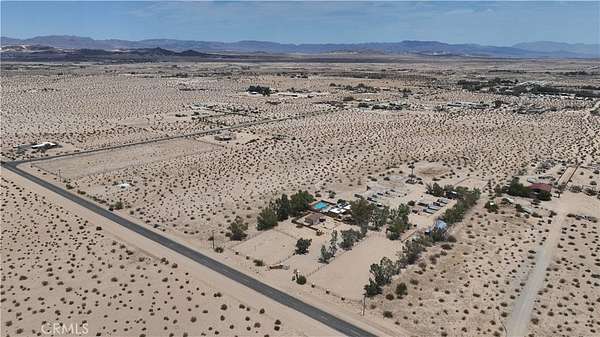
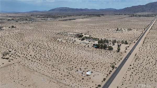
9.8 Acres of Residential Land in Twentynine Palms - Subdivision Potential APN: 0620-032-22 | GPS: 34.169398, -116.071564. Electricity is available at the street along Mesquite Springs Rd, providing convenient access for future development. The property is located within the Twentynine Palms Water District, which has indicated that a private water well would be permitted. Properties in the surrounding area typically utilize septic systems for sewer and propane for gas. The property is zoned RS-2 (Single Family Residential) and offers potential for residential development and subdivision. The zoning allows for up to two residential units per acre, creating the possibility for multiple homes or parcels, subject to applicable city and county approvals. Located approximately 1.5 miles northwest of downtown Twentynine Palms, the property offers easy access to local shopping, restaurants, services, and major roads. Twentynine Palms is well known for its proximity to Joshua Tree National Park and the 29 Palms Marine Corps Base, attracting outdoor enthusiasts, military personnel, long-term residents, and visitors. With nearly 10 acres, residential zoning, electricity at the street, and potential for multiple residential units, this property presents an opportunity for a builder, developer, investor, or buyer looking to create a residential project in the growing Twentynine Palms desert community. Enjoy the area's wide-open desert landscape, star-filled skies, and easy access to outdoor recreation while remaining close to town. This property does not yet have an address. While the boundary lines on the map offer a glimpse, they are only approximate. A Buyer should verify boundaries, zoning and utilities, ensuring every aspect aligns with their vision for the property.
Location
- Street address
- Mesquite Springs Rd
- County
- San Bernardino County
- Zip code
- 92277
- Community
- DC727 - Adobe
- Elevation
- 1,882 feet
Directions
Hwy 62/Adobe Rd; north on Adobe Rd for 2.5 Mi, Left onto Raymond Dr and go 1 Mi, Left onto Mesquite Springs Rd. and go 0.2 Mi. Property is on your left. GPS: 34.169398, -116.071564
Property details
- Acreage
- 9.8 acres
- Zoning
- RS-2
- MLS #
- MRMLS HD26184124
- Posted
Parcels
- 0620032220000
Details and features
Listing
- Type
- Land
- Zoning
- Single Family Residential
Lot
- View
- Desert, Valley
- Features
- Desert Back, Horse Property, Lot Over 40000 SQFT, Rectangular Lot
Property utilities
| Category | Type | Status |
|---|---|---|
| Power | Grid | Available |
Listing history
| Date | Event | Price | Change | Source |
|---|---|---|---|---|
| Aug 22, 2026 | New listing | $89,000 | — | MRMLS |