Recreational & Residential Land for Sale in Hooker, Oklahoma
Mile 40 Road D, Hooker, OK 73945
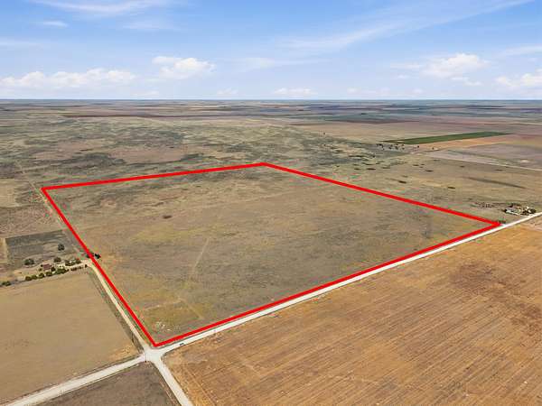
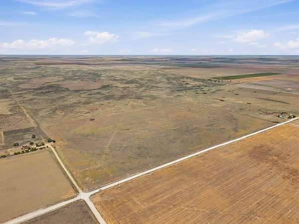
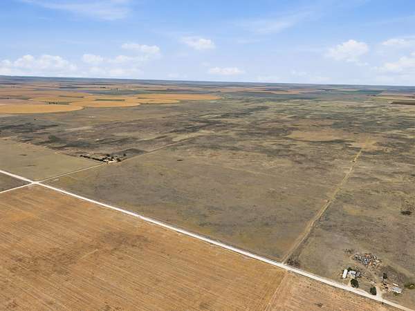
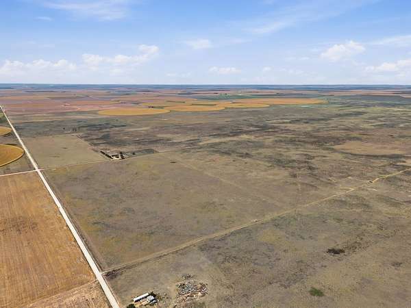
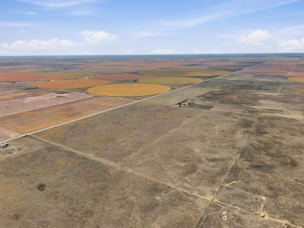
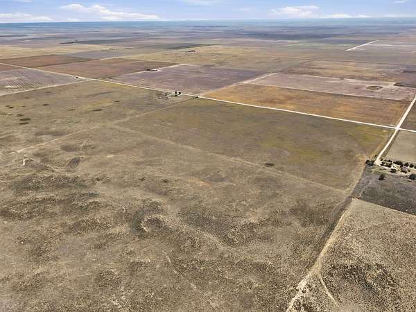
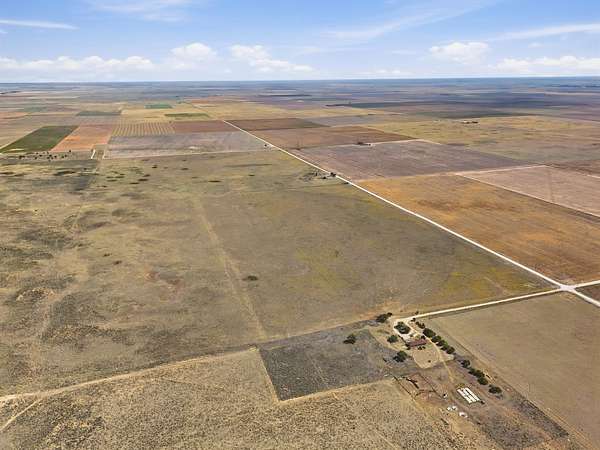
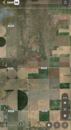
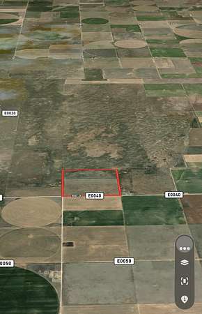
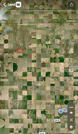
If you are looking for a place to build a home and expand your farming or cow herd in the future, do some hunting, this might be the perfect spot. Selling 160 acres of grass pasture with 137 acres of CRP income and mineral rights. The CRP income is $19.32/acre until 2031. Primary land use is agricultural (100% buildable/flat terrain, ~3% average slope). There is grass for grazing when the contract allows and an older well on the property but assumed to be in non-working order. Coveniently located north and west of Hooker, OK, the parcel lies on the north side of Road D and east of Mile 40 Road in the SW corner of section 26. Legal SW 26-6-26. Approximate Coordinates: 36.95545, -101.30230
Location
- Street address
- Mile 40 Road D
- County
- Texas County
- Zip code
- 73945
- Community
- Hooker
- Elevation
- 3,108 feet
Directions
SW 1/4 of Section 26-06N-16E North & West of Hooker, OK
Property details
- Acreage
- 160 acres
- Zoning
- AG
- MLS #
- NWAOR 20261294
- Posted
Details and features
Listing
- Type
- Farm
Lot
- Features
- Farm/Ranch/Land 10+ Acres
Structure
- Water
- Well
Listing history
| Date | Event | Price | Change | Source |
|---|---|---|---|---|
| Oct 5, 2026 | New listing | $192,000 | — | NWAOR |