Skip to main content
Skip to navigation
Properties
Find agent
Post listing
Log in
•
Sign up
Search here
List
Scottsburg, IN land for sale
Price
Size
Tags
Save
20 properties
Updated
For you
Newest
Price: high to low
Price: low to high
Size: large to small
Size: small to large
Updated
Pending
Under contract
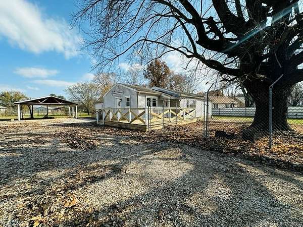
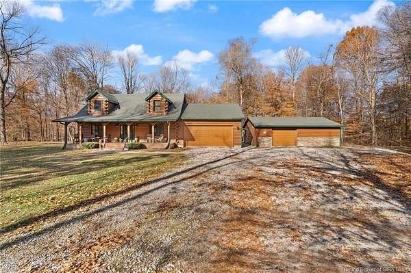
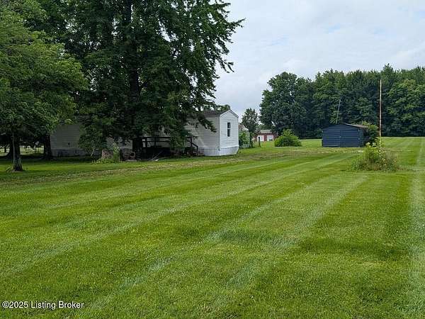
$269,900
1.79 acres
Scott County
4 bd, 4 ba
•
2,473 sq ft
Scottsburg, IN 47170
$15k drop • Nov 3
$339,999
3 acres
Scott County
3 bd, 2 ba
•
1,711 sq ft
Austin, IN 47102
$15k drop • Dec 15
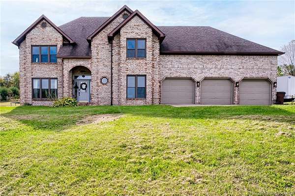
$634,900
4.8 acres
Clark County
4 bd, 3 ba
•
4,707 sq ft
Henryville, IN 47126
24 days
$5k drop • Dec 22
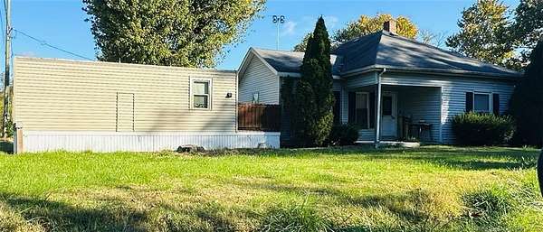
$200,000
1.74 acres
Scott County
3 bd, 2 ba
•
1,600 sq ft
Austin, IN 47102
Pending
Under contract
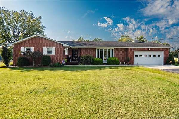
$399,900
3 acres
Scott County
4 bd, 3 ba
•
2,940 sq ft
Austin, IN 47102
$13k drop • Dec 9
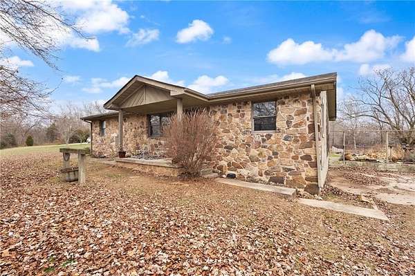
$285,000
8.5 acres
Scott County
3 bd, 2 ba
•
1,280 sq ft
Lexington Township, IN 47141
$35k drop • Nov 26
$460,000
14.7 acres
Scott County
4 bd, 4 ba
•
2,900 sq ft
Scottsburg, IN 47170
$10.1k drop • Nov 4
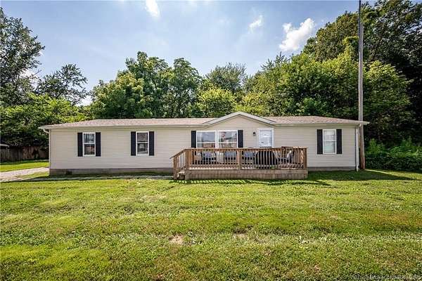
$349,900
2 acres
Scott County
3 bd, 2 ba
•
1,622 sq ft
Scottsburg, IN 47170
5 months ago
$109,000
2 acres
Scott County
3 bd, 1 ba
•
840 sq ft
Scottsburg, IN 47170
45 days ago
$800,000
10 acres
Scott County
4 bd, 4 ba
•
4,098 sq ft
Henryville, IN 47126
56 days ago
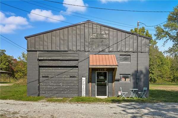
$52,500
1 acre
Scott County
1 bd, 1 ba
•
288 sq ft
Scottsburg, IN 47170
48 days ago
$99,000
1.14 acres
Scott County
Scottsburg, IN 47170
$5k drop • Nov 7
$210,000
2 acres
Scott County
3 bd, 2 ba
•
1,920 sq ft
Austin, IN 47102
2 months ago
$199,900
9.3 acres
Scott County
Scottsburg, IN 47170
2 months ago
$1,194,000
60 acres
Clark County
5 bd, 4 ba
•
5,473 sq ft
Otisco, IN 47163
$55k drop • Oct 8
$395,000
11.3 acres
Scott County
4 bd, 2 ba
•
2,015 sq ft
Scottsburg, IN 47170
14 months ago
$49,900
0.17 acres
Scott County
Austin, IN 47102
3 months ago
$1,800,000
33.8 acres
Scott County
Scottsburg, IN 47170
5 months ago
$189,000
1.5 acres
Scott County
3 bd, 2 ba
•
1,444 sq ft
Scottsburg, IN 47170
11 months ago
$40,000
0.2 acres
Scott County
Scottsburg, IN 47170
Map