Land for Sale in Topock, Arizona
N Of Polaris Rd, Topock, AZ 86436
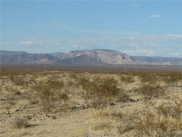
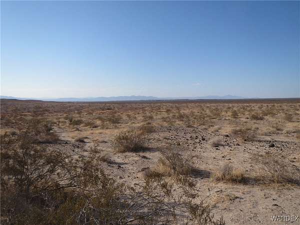
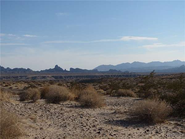
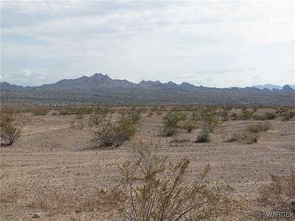
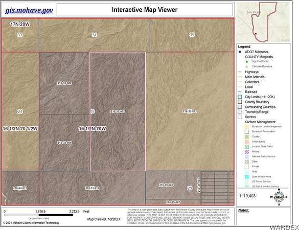
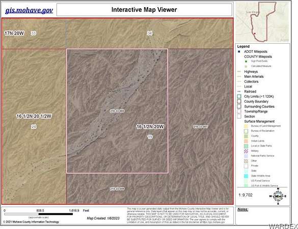
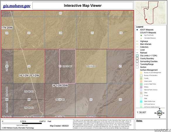
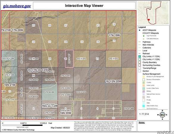
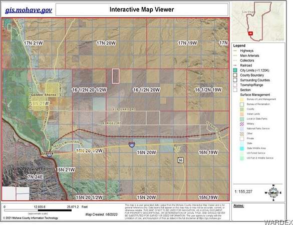
Wide open desert vistas in the Colorado River valley. 498 acres of undisturbed desert land surrounded by BLM land on 3 sides. Five miles to the Havasu National Wildlife Refuge to the west and the Black Mountains & Warm Springs Wilderness Area to the northeast. Two parcels in one listing totaling 498 acres and priced at $500 an acre. Located 2 miles north of Polaris Road and 10 miles from the Colorado River and Interstate 1- 40. This listing is 3/4 of Section 19 comprising the north half and the eastern half of Section 19. This property has not been subdivided or zoned and does not have legal road access, but is easily accessed by off-road vehicle. GIS views in photos. GPS Coordinates: parcel 210-33-007: SE Corner Lat. 34.792828 N Long. 14.386871 W SW Corner Lat 34.792828 N Long 114.395679 W NW Corner Lat. 34.808042 N Long. 114395722 W NE Corner Lat. 34.808052 N Long 114.386892 W GPS Coordinates: parcel 210-33-008: NE Corner Lat. 34.808046 N Long. 114.395725 W NW Corner Lat. 34.808042 N Long. 114.403788 W SW Corner Lat. 34.800054 N Long. 114.403790 W SE Corner Lat. 34.800065 N Long. 1114.395695 W
Location
- Street address
- N Of Polaris Rd
- County
- Mohave County
- Elevation
- 1,060 feet
Directions
Take Topock Exit 1 on I-40. North 3 miles on Old Rt 66 toward Golden Shores. Right on Polaris Rd. about 5 miles to Diane Rd. Go north 2 miles to SE corner of property and corner of Sec. 19.
Property details
- Acreage
- 498 acres
- Zoning
- M- AR Agricultural Res
- MLS #
- WARDEX 019746
- Posted
Property taxes
- 2023
- $379
Parcels
- 210-33-007
Details and features
Listing
- Type
- Land
- Franchise
- None
Lot
- View
- Mountains
- Features
- Borders State Land
Structure
- Sewer
- Septic Needed
Listing history
| Date | Event | Price | Change | Source |
|---|---|---|---|---|
| Mar 28, 2025 | Price drop | $249,000 | $50,000 -16.7% | WARDEX |
| Sept 17, 2024 | New listing | $299,000 | — | WARDEX |