Residential Land for Sale in Topock, Arizona
N Of Polaris Rd, Topock, AZ 86436
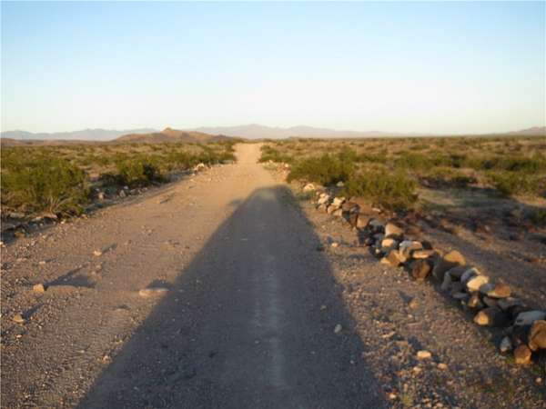
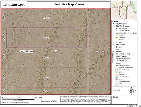
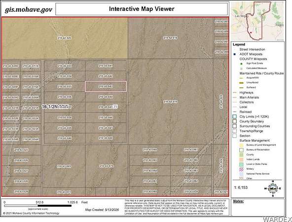
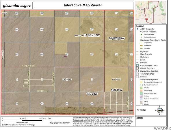
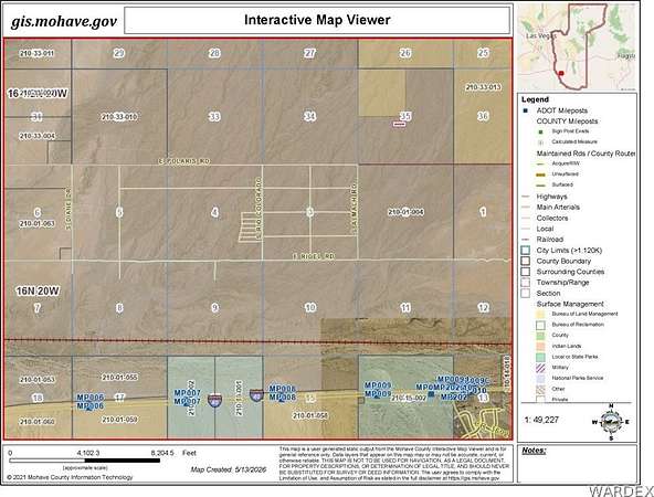
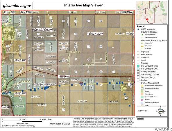
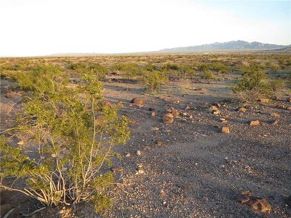
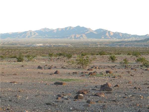
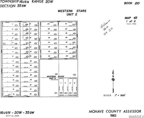
Affordable priced vacant land close to civilization to enjoy the Off Grid lifestyle in the Colorado River Valley of Western Arizona at 1,099 ft. elevation. Sweeping views of the Colorado River mountains to the southwest and the Black Mountains to the north. Two adjacent parcels, Lot 43 and Lot 44, are being offered as one listing totaling 4.64 Acres located about 4:10's of a mile north of Polaris Road. Lot 43 is north of Lot 44. See the photos for GIS aerial views of the property. The corner property GPS coordinates are as follows: SE Corner of Lot 44 = Lat. 34.769326 Long. 114.325409 NE Corner of Lot 43 = Lat. 34.770200 Long. 114.325409 NW corner of Lot 43 = Lat 34.770200 Long. 114.327520 SW corner of Lot 44 = Lat 34.769326 Long 114.327520 Four wheel drive recommended.
Location
- Street address
- N Of Polaris Rd, Lot 43 & 44
- County
- Mohave County
- Elevation
- 1,099 feet
Directions
From I-40 take Arizona Topock Exit 1 and travel approximately 4 miles to the Polaris Road sign. Turn right and travel approximately 8 miles east on Polaris Road. Lots are north of Polaris Road to the left approximately 4: 10's of a mile. Use property corner GPS coordinates provided in the listing description to verify location. Four wheel drive recommended. Limited road signs and ability to identify access in this area other than GPS coordinates.
Property details
- Acreage
- 4.64 acres
- Zoning
- M- AR Agricultural Res
- MLS #
- WARDEX 038966
- Posted
Property taxes
- 2025
- $23
Parcels
- 210-43-043
Details and features
Listing
- Type
- Land
Lot
- View
- Mountains
- Features
- Agricultural, Residential Lot
Structure
- Sewer
- Septic Needed
Listing history
| Date | Event | Price | Change | Source |
|---|---|---|---|---|
| May 14, 2026 | New listing | $13,000 | — | WARDEX |