Skip to main content
Skip to navigation
Properties
Find agent
Post property
Log in
•
Sign up
Search here
List
Sumpter, OR land for sale
Price
Size
Tags
Save
2 properties
For you
Newest
Price: high to low
Price: low to high
Size: large to small
Size: small to large
Updated
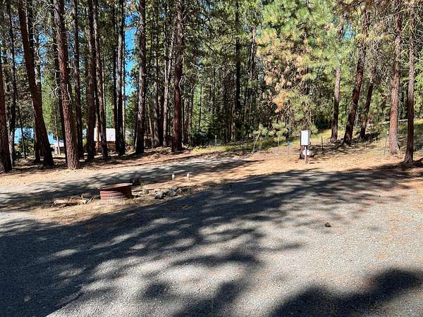
42 days ago
$159,995
0.21 acres
Baker County
Sumpter, OR 97877
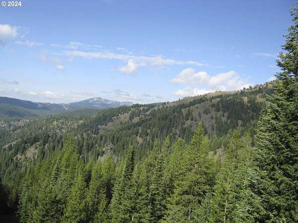
20 months ago
$1,500,000
69 acres
Baker County
Sumpter, OR 97877
Map