Agricultural Land for Sale in Burns, Oregon
Old Experiment Rd & Ryegrass Ln, Burns, OR 97720
Old Experiment Road & Ryegrass Lane
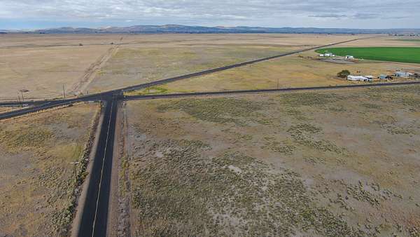
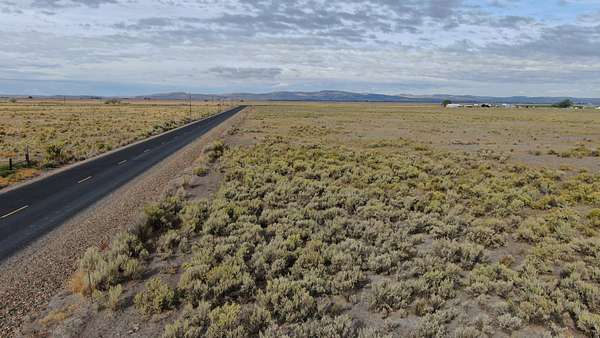
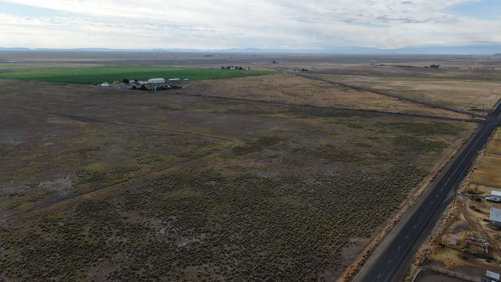
The 416-acres of bare land approximately 7 miles southeast of Burns, Oregon has been sought after for many years and is finally on the market!
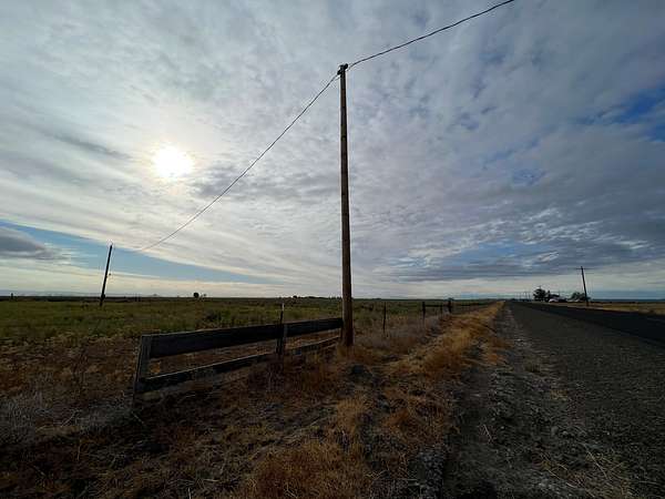
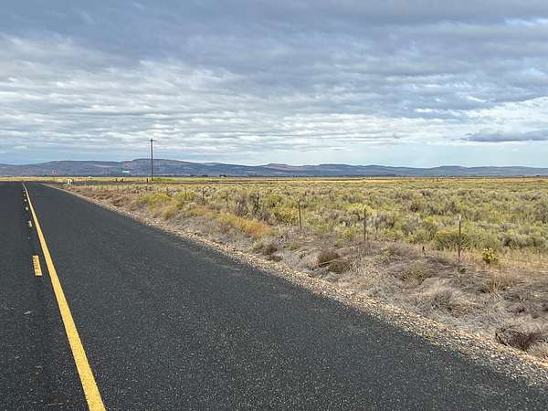
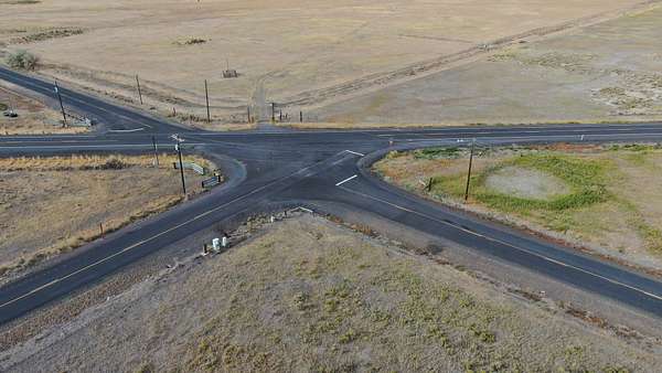
Located at the intersection of Old Experiment Road & Ryegrass Lane, this well-located property offers opportunities for livestock production and potentially development.
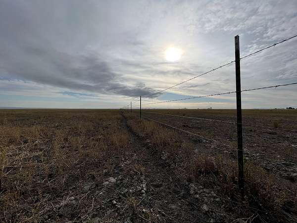
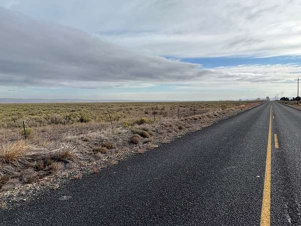
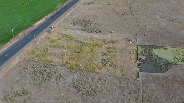
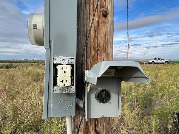
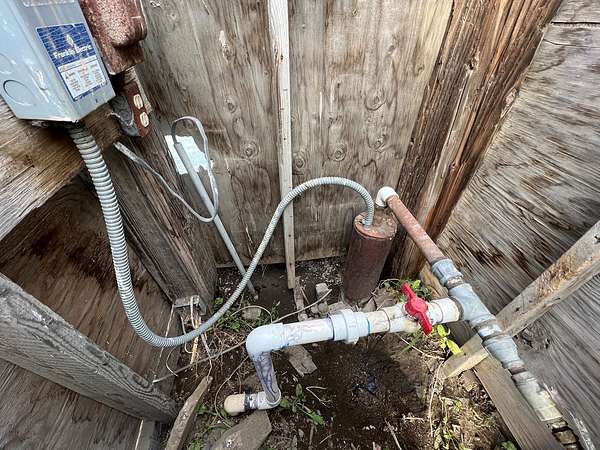
The property hosts one domestic well, is fully fenced, and has been used for livestock grazing for many years. Power is located on the property and along both paved county roads which borders the west and south sides of the property. There is two-track dirt road access through the property.
Access to the property is very good via State Hwy 78 and/or county Old Experiment Road. The property has no outbuildings but does have power. The vast majority of the property is located outside the FEMA 100-year floodplain with only a very small area in the southwest corner designated part of the floodplain.
There are older legacy flood water rights on the property although they have not been used for many years.
This large track of bare ground is worth considering if you are looking to create dryland pasture or if you are seeking property which has the potential for subdividing and development.
ADDRESS: Old Experiment Road & Ryegrass Lane via State Hwy 78
ACRES: 416.28 ac (+/-)
CURRENT TAXES: $726 taxes (+/-); Exclusive Farm Use - 2
TAX LOTS: T23S R32E W.M. Sec 19 Tax Lot 2900
WELLS: 1 wells - Log #579 - domestic, 190 feet, 60 gal/min when drilled in 1975
WATER RIGHTS:
Certificate# Priority Date # Acres Source
44944 February 26, 1953 306.9 Flood Right
NOTE: There are water rights however property is located in an area known for historically very minimal water delivery.
FINANCING: Cash or bank financing option available for the property
Location
- Street address
- Old Experiment Rd & Ryegrass Ln
- County
- Harney County
- Elevation
- 4,140 feet
Property details
- Acreage
- 416.28 acres
- Posted
Resources
Listing history
| Date | Event | Price | Change | Source |
|---|---|---|---|---|
| Dec 2, 2025 | Relisted | $410,000 | — | Listing agent |
| Nov 23, 2025 | Listing removed | $410,000 | — | Listing agent |
| Nov 26, 2024 | Relisted | $410,000 | — | Listing agent |
| Nov 23, 2024 | Listing removed | $410,000 | — | Listing agent |
| Nov 27, 2023 | Price drop | $410,000 | $15,000 -3.5% | Listing agent |
| Sept 22, 2023 | Relisted | $425,000 | — | Listing agent |
| Sept 21, 2023 | Listing removed | $425,000 | — | Listing agent |
| Feb 2, 2023 | Price drop | $425,000 | $25,000 -5.6% | Listing agent |
| Sept 23, 2022 | New listing | $450,000 | — | Listing agent |
