Skip to main content
Skip to navigation
Properties
Find agent
Post property
Log in
•
Sign up
Search here
List
Onawa, IA land for sale
Price
Size
Tags
Save
4 properties
For you
Newest
Price: high to low
Price: low to high
Size: large to small
Size: small to large
Updated
3 months ago
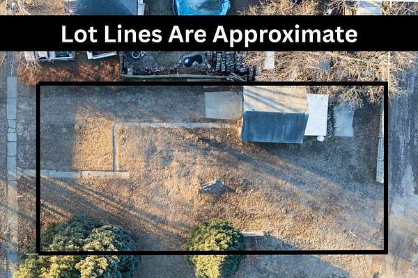
$14,900
0.18 acres
Monona County
Onawa, IA 51040
$20k drop • Feb 13
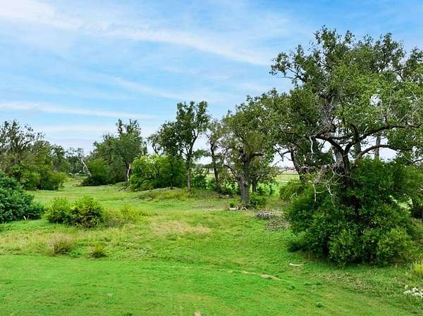
$109,900
14 acres
Monona County
Onawa, IA 51040
46 days ago
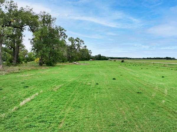
$24,900
2 acres
Monona County
Onawa, IA 51040
6 months ago
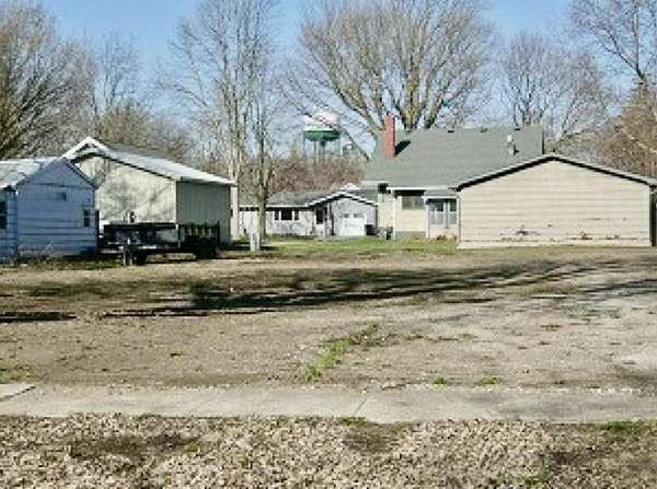
$25,000
0.18 acres
Monona County
Onawa, IA 51040
Map