Skip to main content
Skip to navigation
Properties
Find agent
Post listing
Log in
•
Sign up
Search here
List
Chidester, AR land for sale
Price
Size
Tags
Save
11 properties
Updated
For you
Newest
Price: high to low
Price: low to high
Size: large to small
Size: small to large
Updated
10 months ago
$627,000
167 acres
Clark County
Gurdon, AR 71743
40 days ago
$425,000
9.6 acres
Ouachita County
3 bd, 3 ba
•
2,955 sq ft
Camden, AR 71701
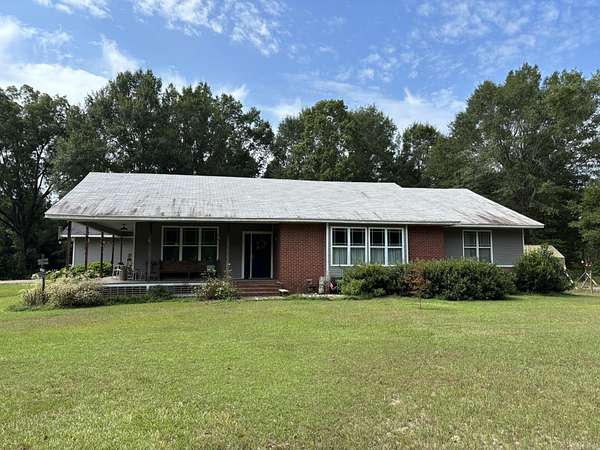
5 months ago
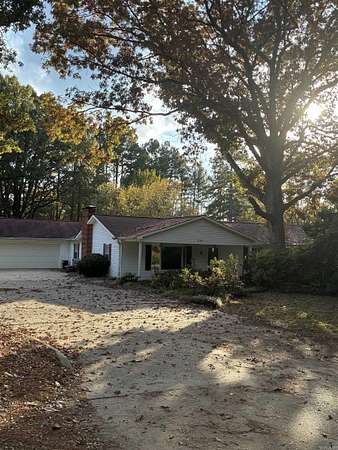
$315,000
30 acres
Ouachita County
3 bd, 3 ba
•
2,600 sq ft
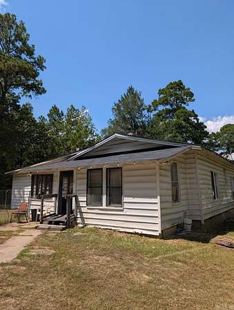
Chidester, AR 71726
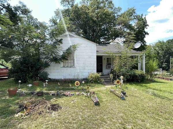
5 months ago
$60,000
2.53 acres
Ouachita County
3 bd, 1 ba
•
1,202 sq ft
Chidester, AR 71726
18 months ago
$25,000
4 acres
Ouachita County
Reader, AR 71726
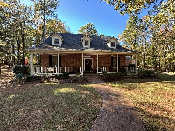
2 months ago
$345,000
4.9 acres
Ouachita County
5 bd, 5 ba
•
3,034 sq ft
Camden, AR 71701
4 months ago
$65,000
2.26 acres
Ouachita County
3 bd, 2 ba
•
1,456 sq ft
Chidester, AR 71726
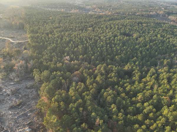
Upcoming auction
$— min
235 acres
Nevada County
Bluff City, AR 71722
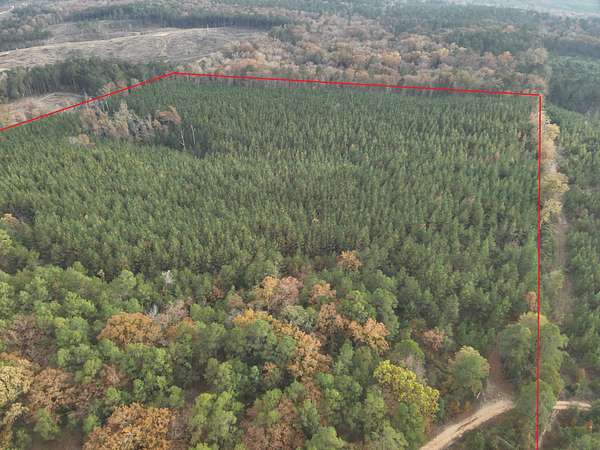
Upcoming auction
$— min
20 acres
Ouachita County
Chidester, AR 71726
Upcoming auction
$— min
40 acres
Ouachita County
Chidester, AR 71726
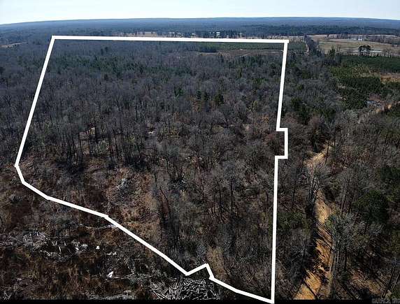
4 months ago
$360,000
94.8 acres
Ouachita County
Chidester, AR 71726
Map