
Land for Sale in Springfield, Tennessee
Pair Six Dr, Springfield, TN 37172
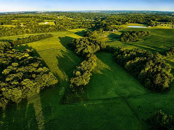
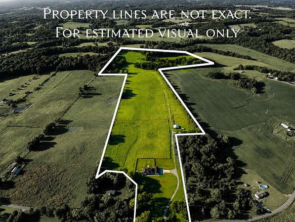
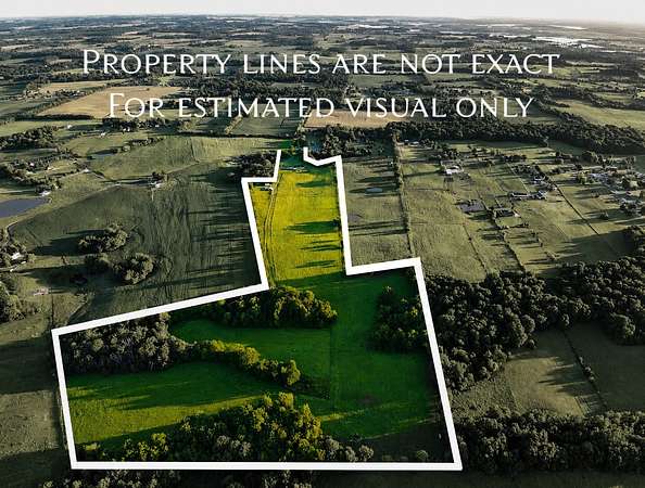
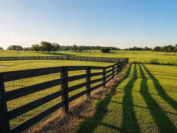
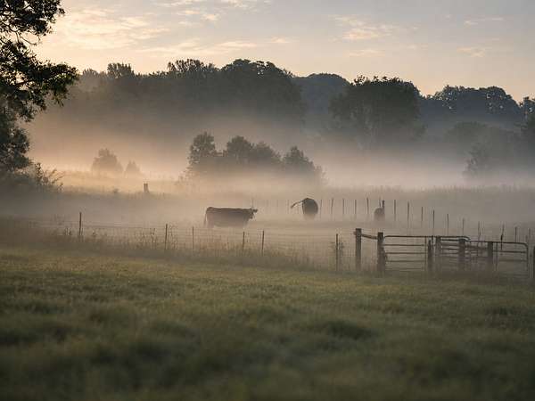
pproximately 60 beautiful acres of productive Robertson County farmland, offering a rare combination of open pasture, working farm improvements, and natural beauty. Thoughtfully carved from a larger property and offered without the residence, this tract provides a wonderful opportunity for someone looking for a private country setting with the infrastructure already in place for cattle, hay, or other agricultural uses.
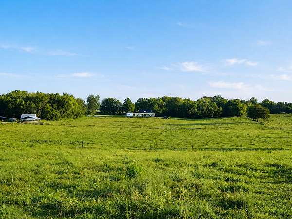
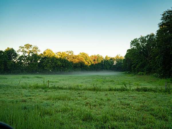
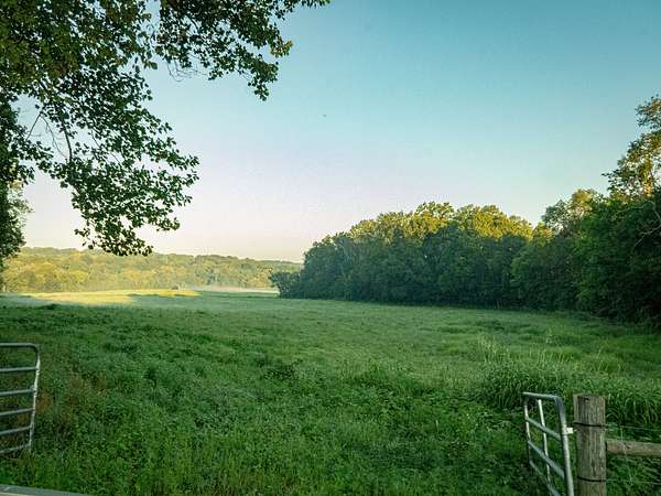
The gently rolling land is a mix of open pasture and cropland, with approximately 12 acres of mature woodland following the natural draws. The wooded areas add character, privacy, and natural beauty while creating a peaceful backdrop and natural separation from neighboring properties. The land is both scenic and practical, with good drainage and terrain well suited for farming and livestock.
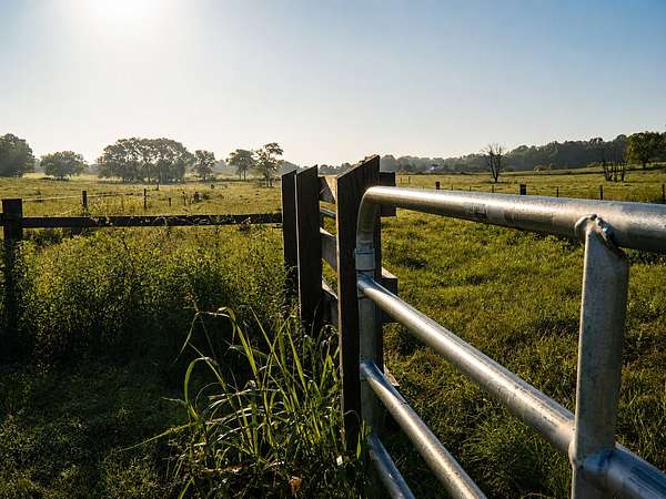
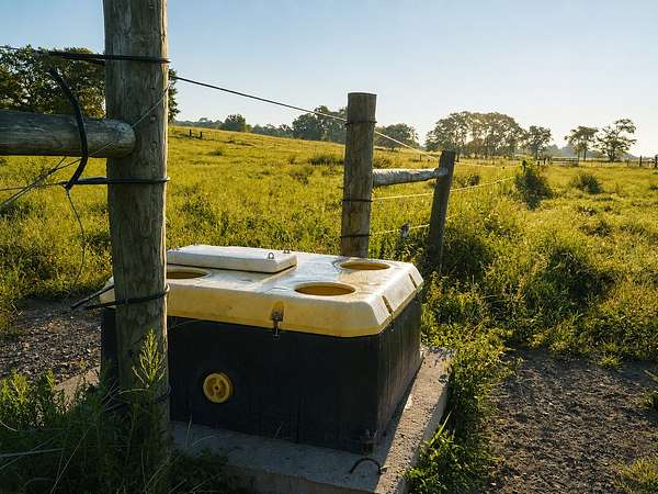
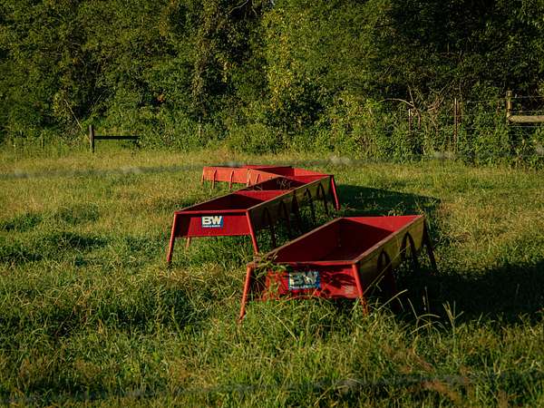
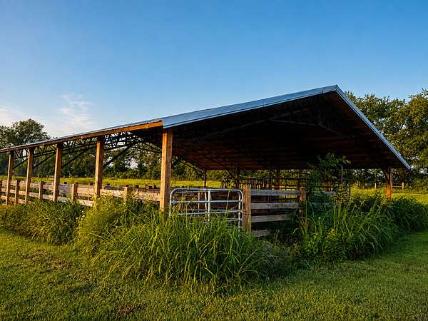
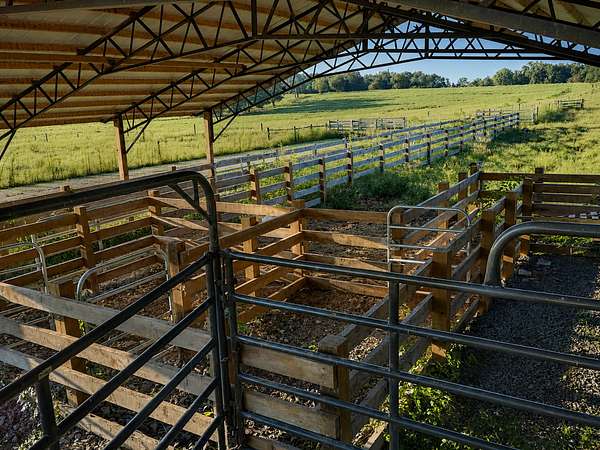
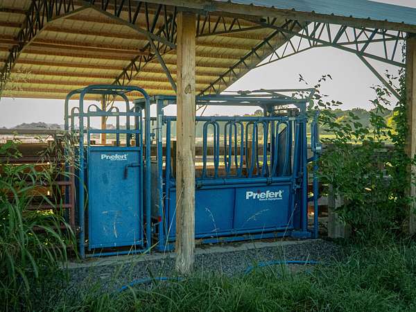
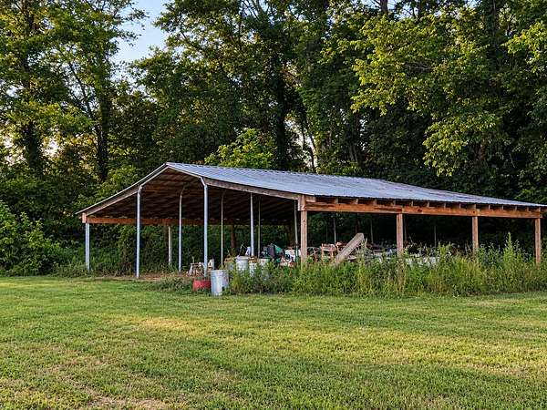
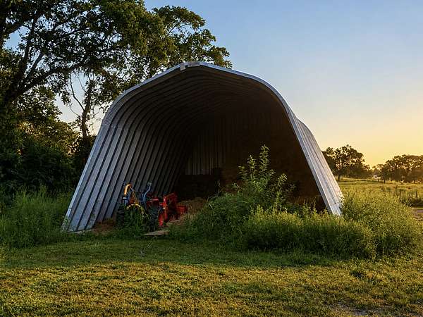
The property is already equipped for an active farm operation, including attractive board and pipe fencing with hung gates, a covered cattle working facility with sorting pens and chute, an open-sided loafing barn, equipment shed, and field waterers. Whether continuing the existing agricultural use or creating your own vision for the property, the groundwork is already here.
Conveniently located approximately seven miles from Springfield and roughly 25 minutes from the Nashville area, this property offers the best of both worlds—beautiful Tennessee countryside and a manageable commute to town and the city.
The residence and immediate homesite are excluded from this offering. Acreage is approximate and based on county parcel measurements. A survey and lot split will establish the final acreage, boundaries, and legal description. Property taxes will be reassessed following the split. Buyer to verify all information.
Location
- Street address
- Pair Six Dr
- County
- Robertson County
- Zip code
- 37172
- Elevation
- 696 feet
Directions
From Springfield, take TN-49 E (5th Ave E) 3.3 mi, slight right onto Owens Chapel Rd 2.4 mi, right onto Armstrong Rd 1.3 mi, then right onto Pair Six Dr. Tract lies south of the residence.
Property details
- Acreage
- 60 acres
- Zoning
- FAR
- MLS #
- REALTRACS 3527942
- Posted
Property taxes
- Recent
- $3,177
Parcels
- 082 18900 000
Details and features
Listing
- Type
- Farm
- Inclusions
- Land and Buildings
- Possession
- Close of Escrow
Lot
- Size Source
- Owner
- Terrain
- Cleared, Rolling Slope, Wooded
- Road Frontage
- None
- Road Surface
- Asphalt
- Features
- Cleared, Rolling Slope, Wooded
Structure
- Water
- Public
Property utilities
| Category | Type | Status |
|---|---|---|
| Water | Public | Available |
Nearby schools
| Name | Type |
|---|---|
| East Robertson Elementary | Elementary |
| East Robertson High School | Middle |
| East Robertson High School | High |
Listing history
| Date | Event | Price | Change | Source |
|---|---|---|---|---|
| Aug 28, 2026 | New listing | $975,000 | — | REALTRACS |
Payment calculator

Based on information submitted to the MLS GRID as of Oct 16, 2026 7:00 am MT. All data is obtained from various sources and may not have been verified by broker or MLS GRID. Supplied Open House Information is subject to change without notice. All information should be independently reviewed and verified for accuracy. Properties may or may not be listed by the office/agent presenting the information. Some IDX listings have been excluded from this website. View more