


Recreational Land for Sale in Paris, Texas
Lamar County, Paris, TX 75411
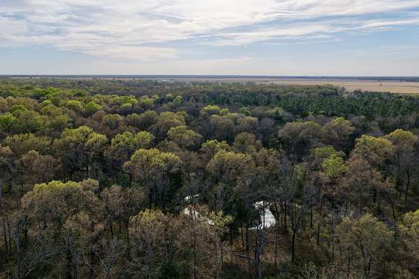
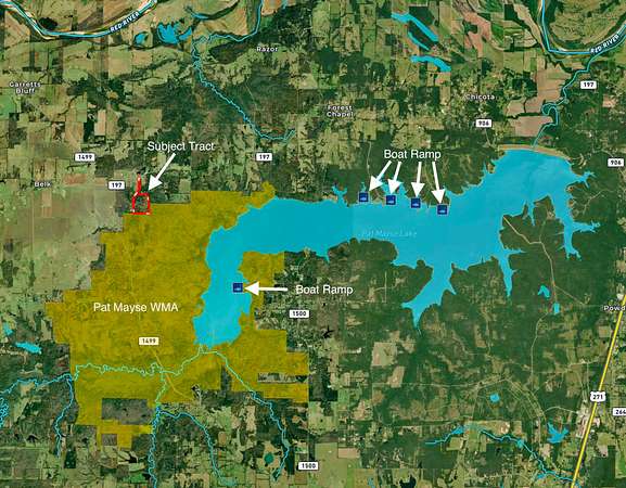
The Sanctuary bordering Pat Mayes Wildlife Refuge
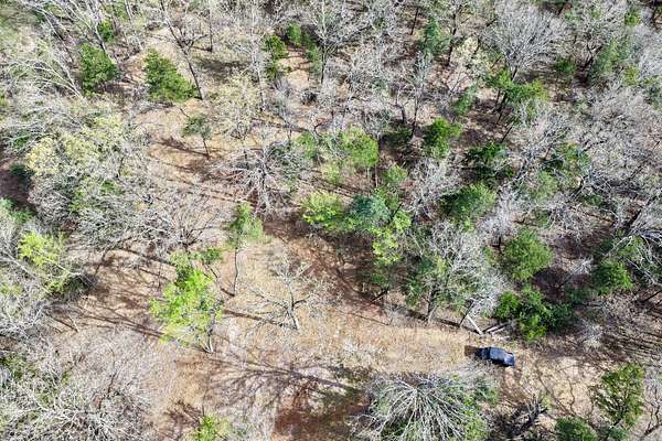
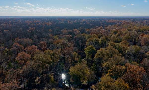
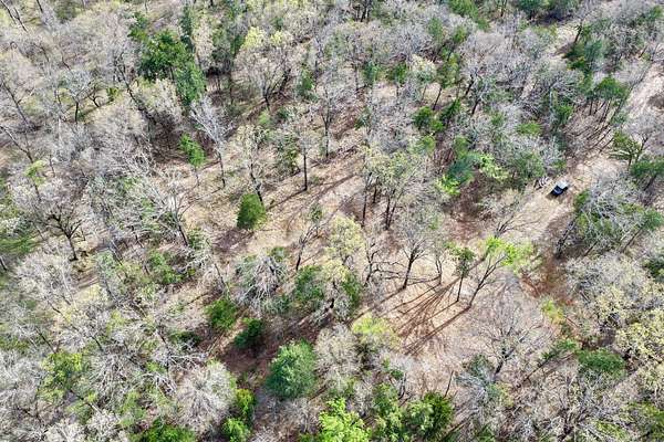
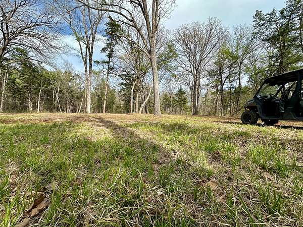
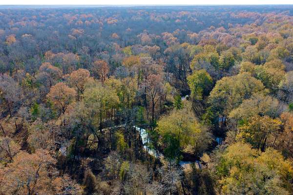
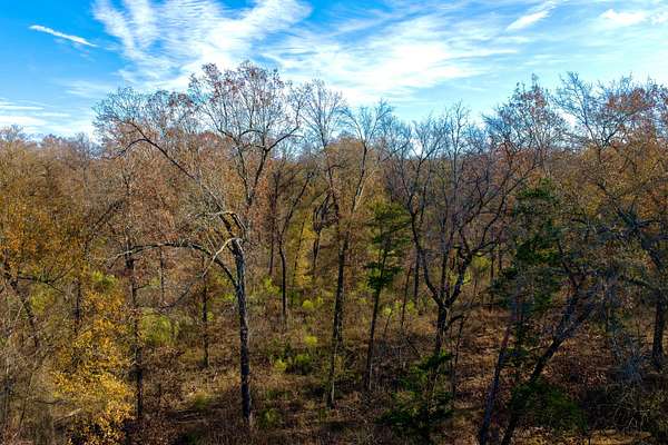
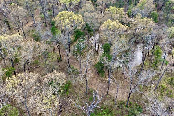
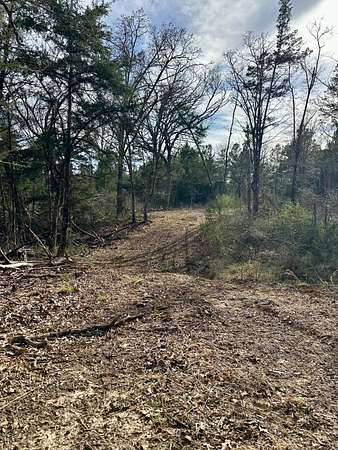
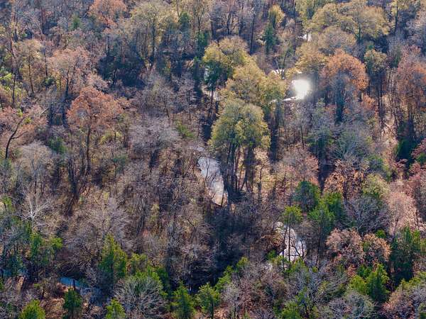
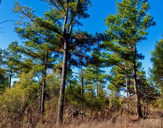
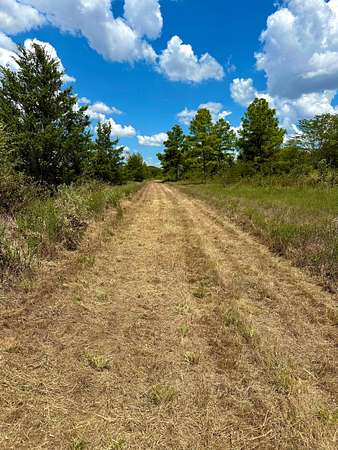
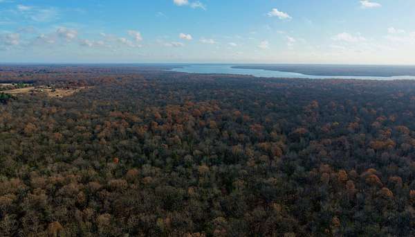
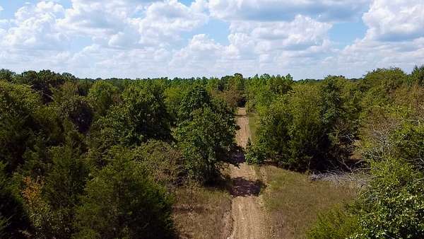
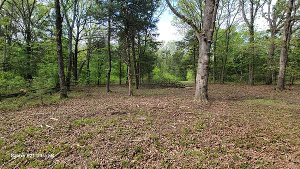
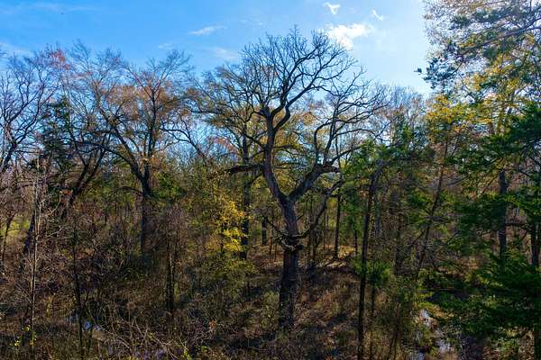
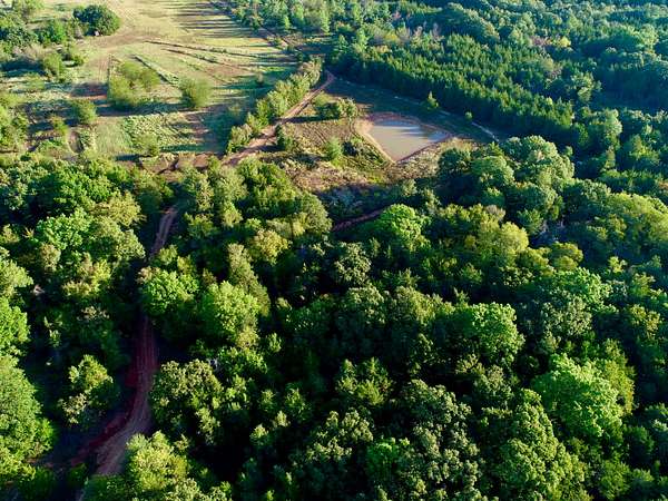
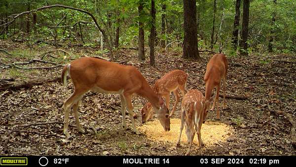
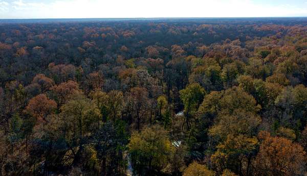
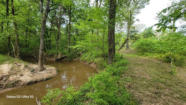
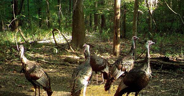
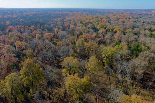
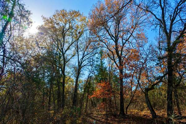
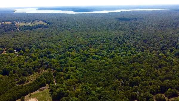
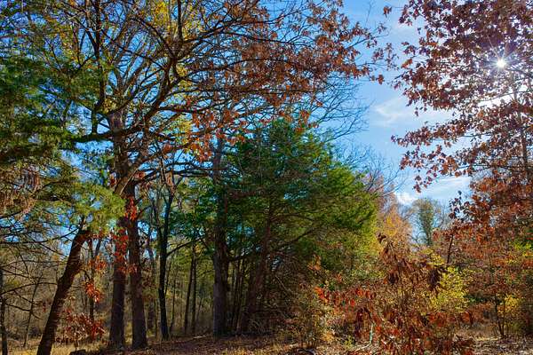
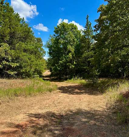
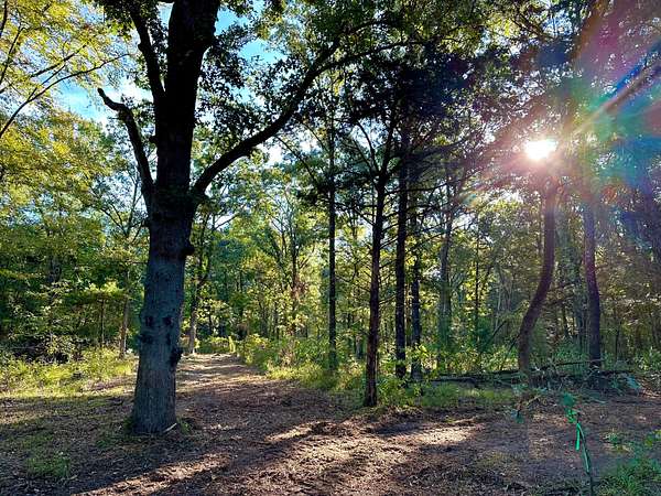
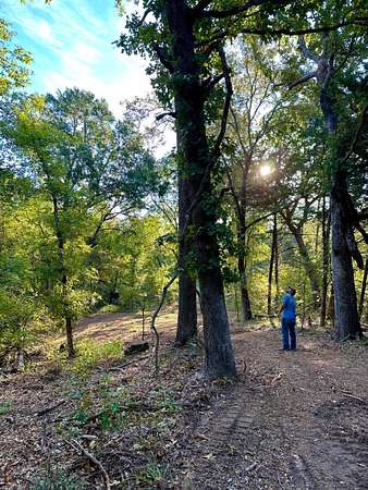
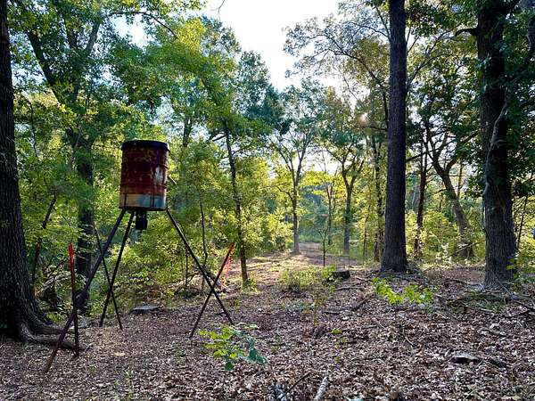
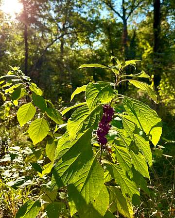
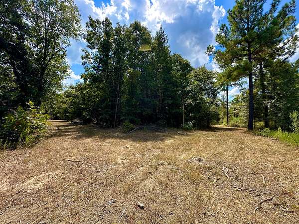
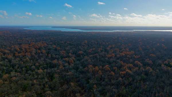
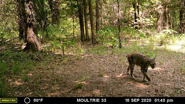
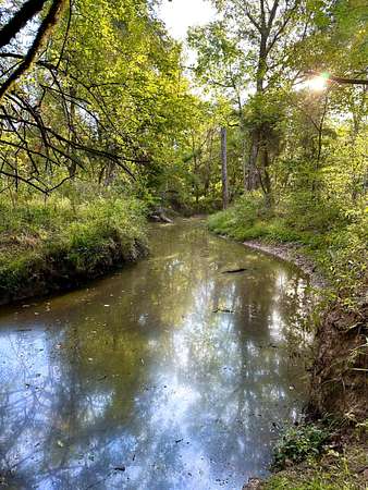
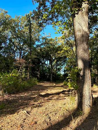
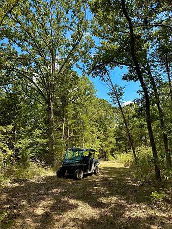
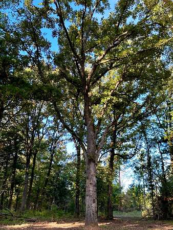
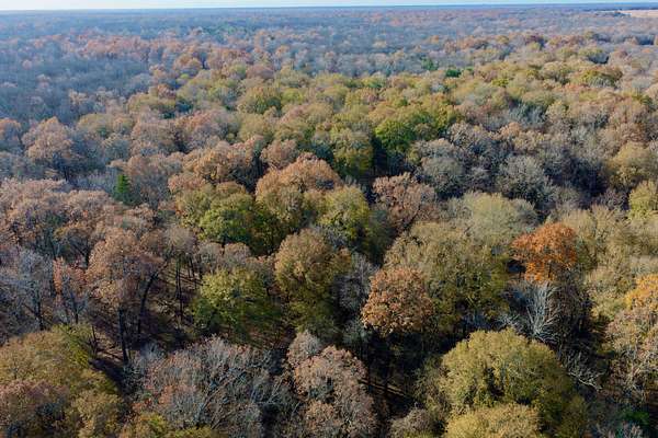
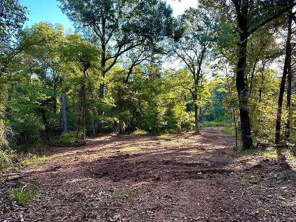
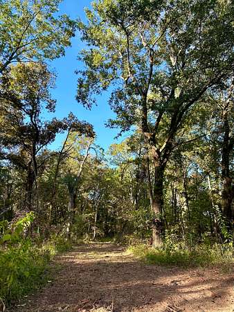
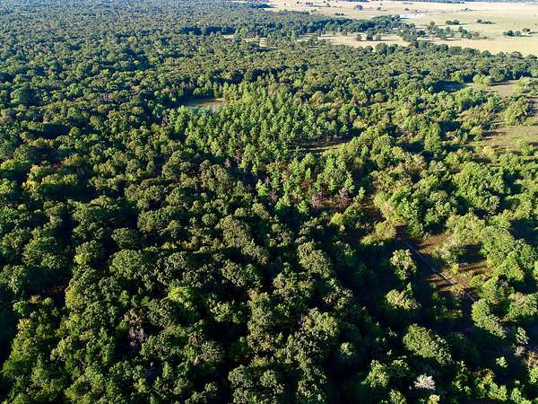
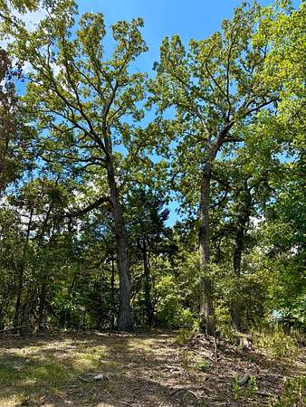
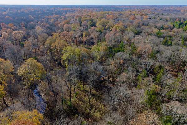
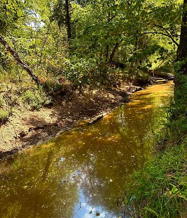
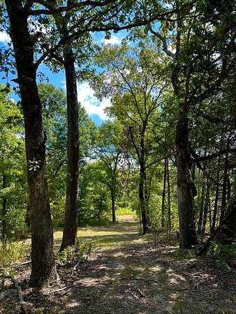
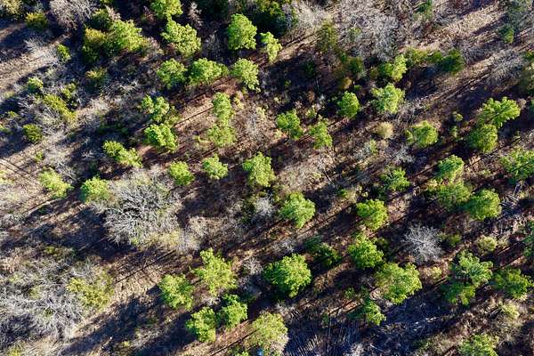
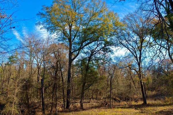
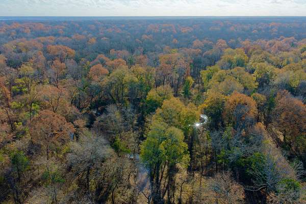
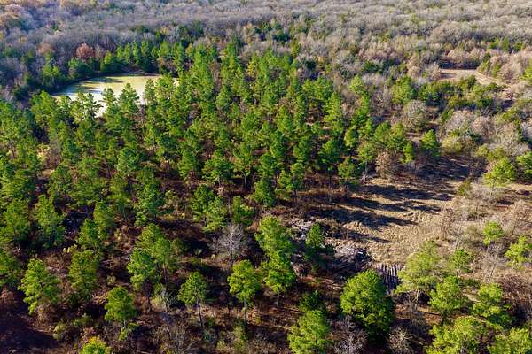
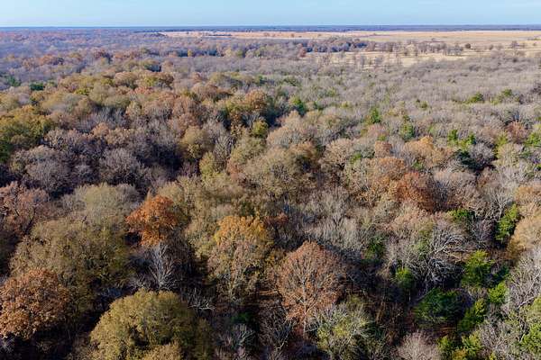
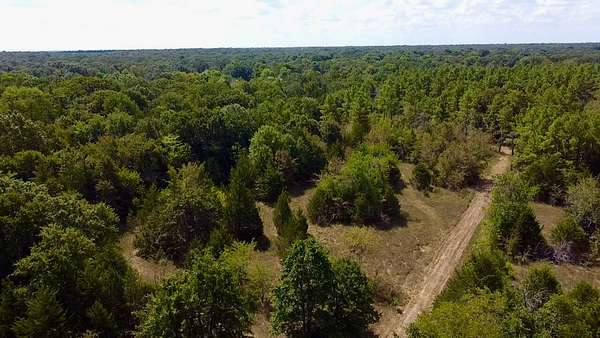
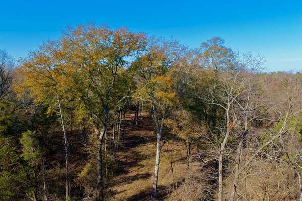
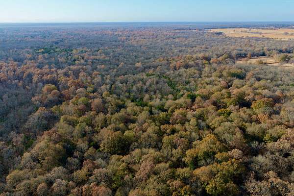
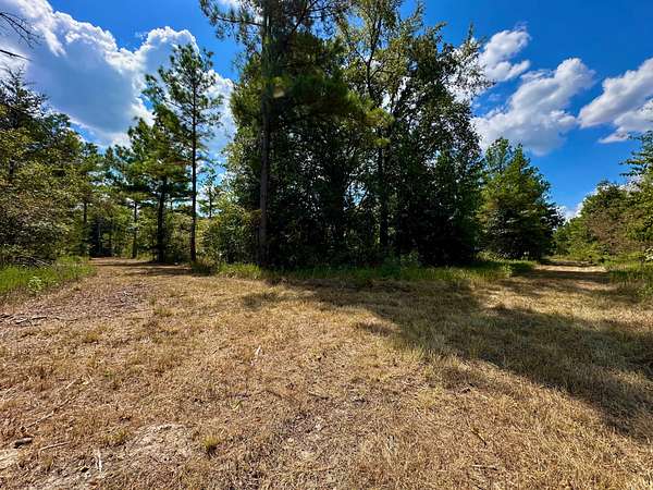
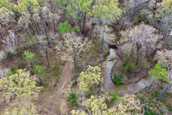
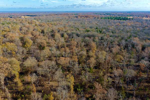
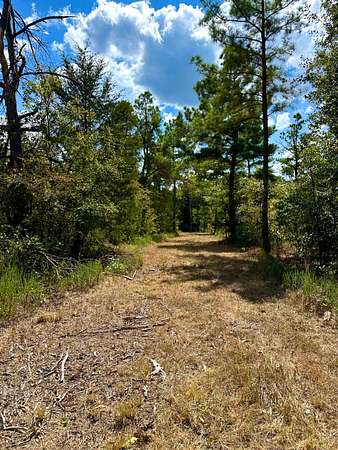
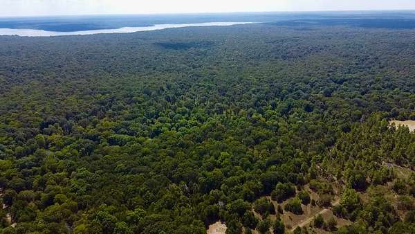
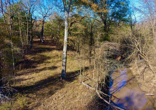
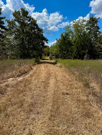
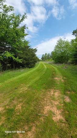
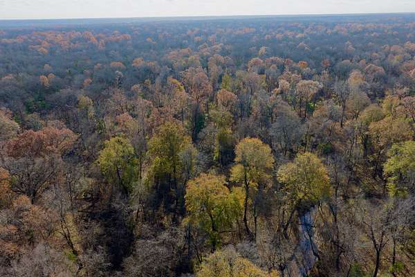
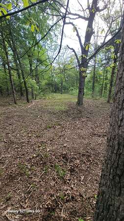
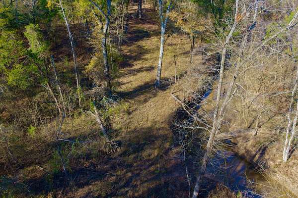
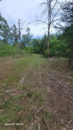
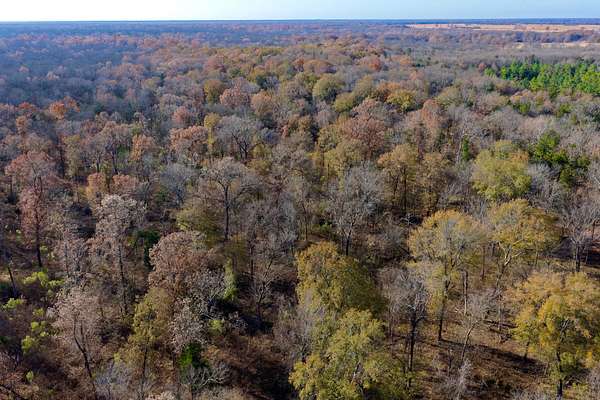
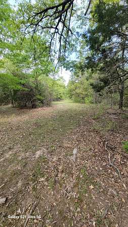
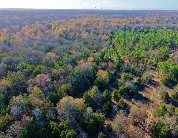
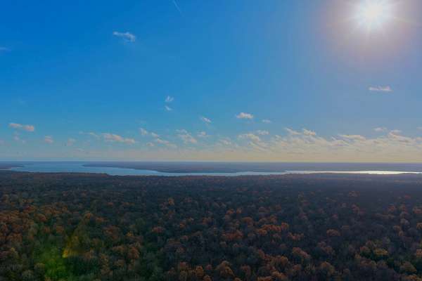
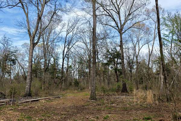
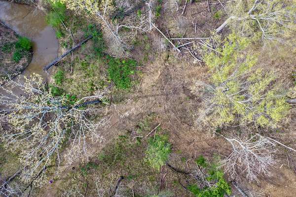
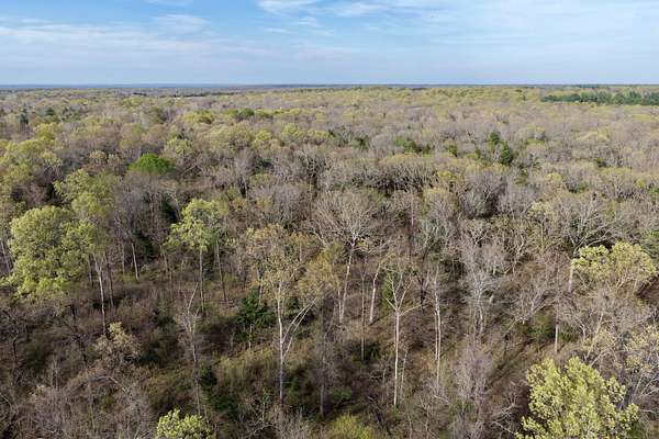
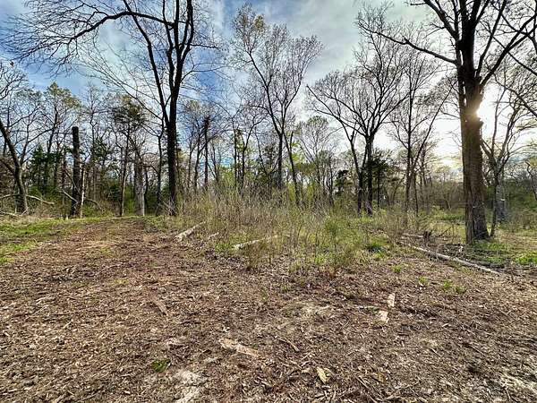
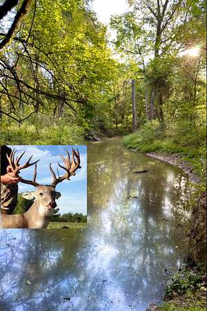
The Sanctuary is 62.58+/- acres of rolling terrain that borders the 8,295 acres that makes up the Pat Mayes Wildlife Refuge. Imagine you, your family and friends, hunting for trophy bucks, boating and fishing on Pat Mayes Lake, listening to the gobble of a Eastern Turkey or simply enjoying a starry night around the campfire. Whatever way you choose to relax, this property has it all. There is a surprising amount of elevation change with several options for building sites and a nice road system through the meandering creek, mature trees, and food plots around the property. Enjoy the various wildlife that call this property home (whitetail deer, turkeys, ducks, dove, hogs, coyotes and bobcats). The buck harvested in the photo was taken only a few miles from this property. The Sanctuary is situated in the Red River Basin (about 3 miles from the Red River) and in the Post Oak Savanah Ecoregion. All of this and you do not have to sacrifice great proximity to the creature comforts, 19 miles to Paris, TX and only 105 miles from DFW! There are only 50 Wildlife Management Refuges in Texas and this property value will only increase as time goes by.
The Facts
LOCATION: Lamar county (19 miles north of Paris, TX)
Pat Mayse Lake Boat Ramp- 8 miles
Paris- 19 miles
Sherman- 77 miles
McKInney- 90 miles
Rockwall- 102 miles
DNT/SRT- 105 miles
Red River- 3 miles
CLIMATE: 45 in. annual rainfall
UTILITIES: Electric and city water present at the road, water wells in the immediate area range from 67'-175' in depth
WILDLIFE: Whitetail deer, hogs, ducks, dove, turkey
MINERALS: Seller will consider with an acceptable offer
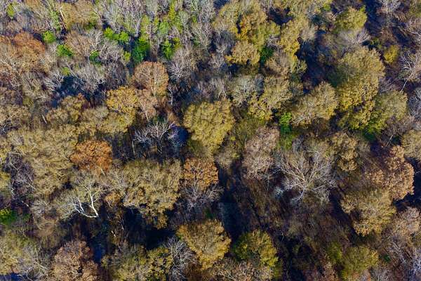
VEGETATION: The vegetation consists Post oak, water oak, red oak, blackjack, white oak, pecan, loblolly pine, honey locust, cedar, native grasses
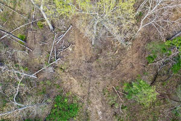
TERRAIN: 25 ft. Elevation change, massive hardwoods, thick creek bottoms
SOILS: Annona loam (58.07%), Guyton silt loam (25.81%), Whakana-Porum complex (11.42%), Wilson silt loam (2.62%), Derly (2.08%)
IMPROVEMENTS: Extensive interior road system, build site, and food plots
CURRENT USE: Hunting and recreation
POTENTIAL USE: Hunting, recreation
FENCING: None
ACCESS: Paved FM road to 50' deeded easement
EASEMENTS: Access
LEASES: None
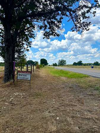
Contact Cade Baxter at 214.236.4205 to schedule a private showing
Location
- County
- Lamar County
- Zip code
- 75411
- Elevation
- 446 feet
Property details
- Acreage
- 62.58 acres
- Posted
Resources
Listing history
| Date | Event | Price | Change | Source |
|---|---|---|---|---|
| Jan 15, 2026 | Price drop | $597,000 | $50,703 -7.8% | Listing agent |
| Apr 30, 2025 | New listing | $647,703 | — | Listing agent |
| Mar 1, 2025 | Listing removed | $699,500 | — | Listing agent |
| Aug 30, 2024 | New listing | $699,500 | — | Listing agent |
| July 5, 2024 | Listing removed | $749,999 | — | Listing agent |
| Nov 2, 2023 | Price drop | $749,999 | $961 -0.1% | Listing agent |
| Oct 25, 2023 | New listing | $750,960 | — | Listing agent |