Recreational & Residential Land for Sale in Bennett, Colorado
Penrith Rd, Bennett, CO 80102
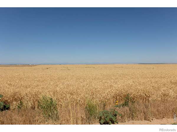
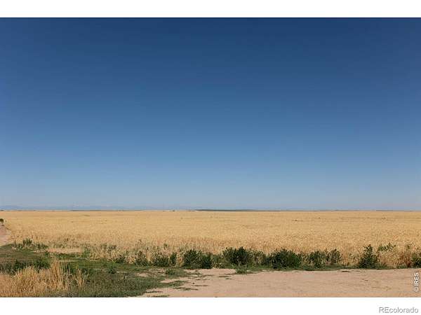
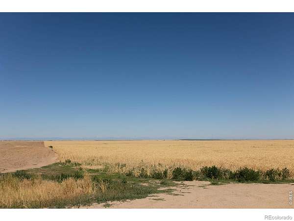
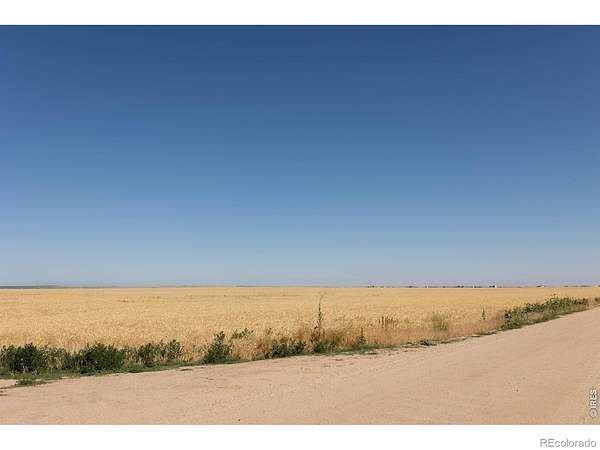
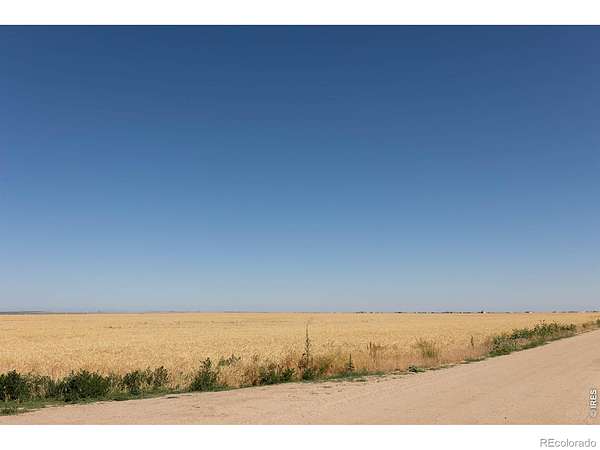
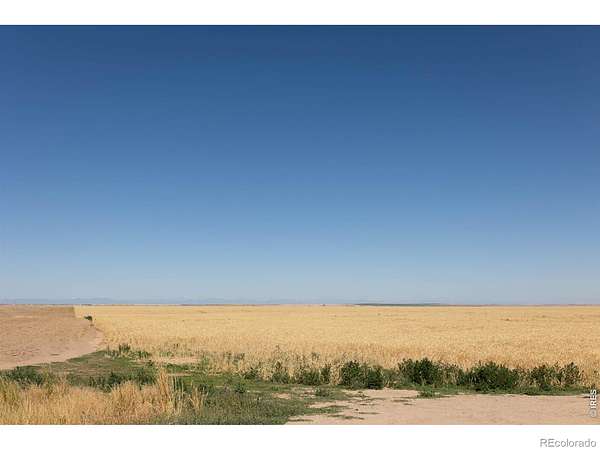
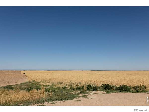
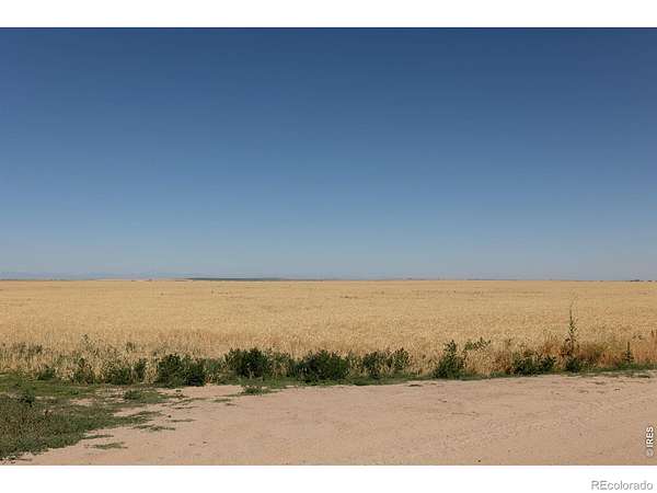
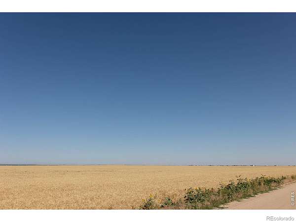
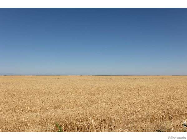
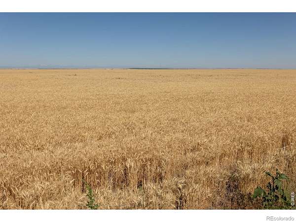
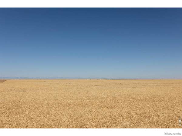
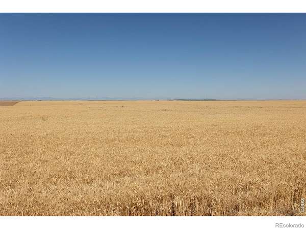
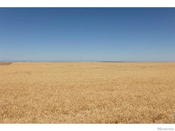
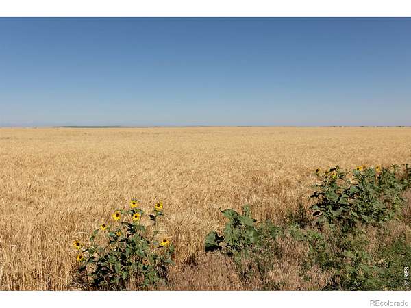
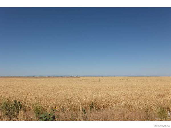
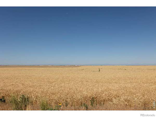
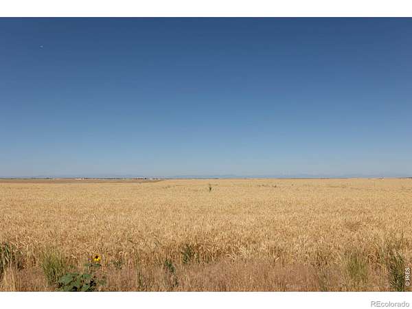
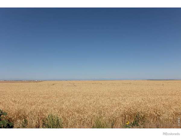
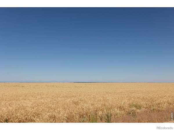
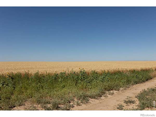
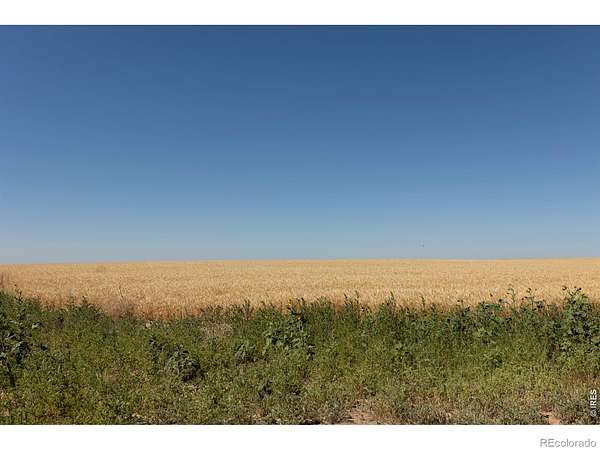
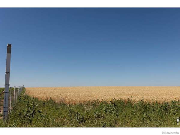
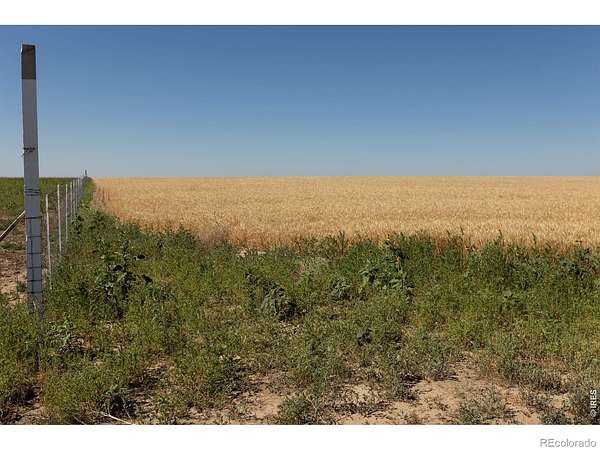
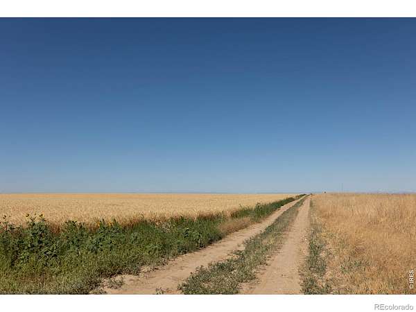
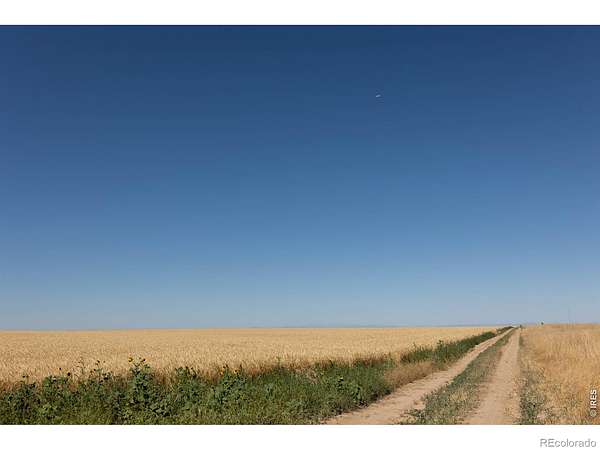
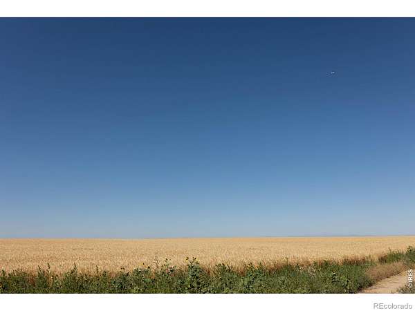
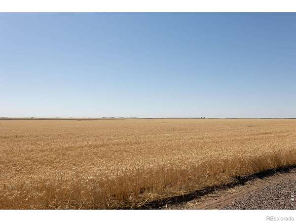
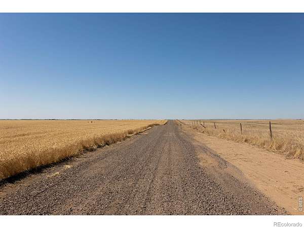
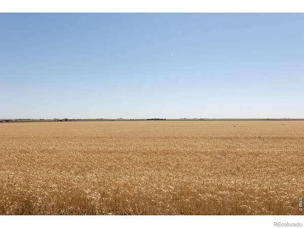
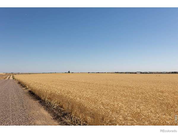
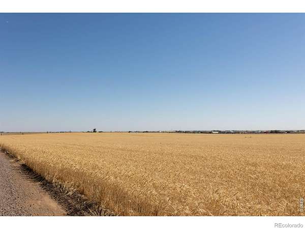
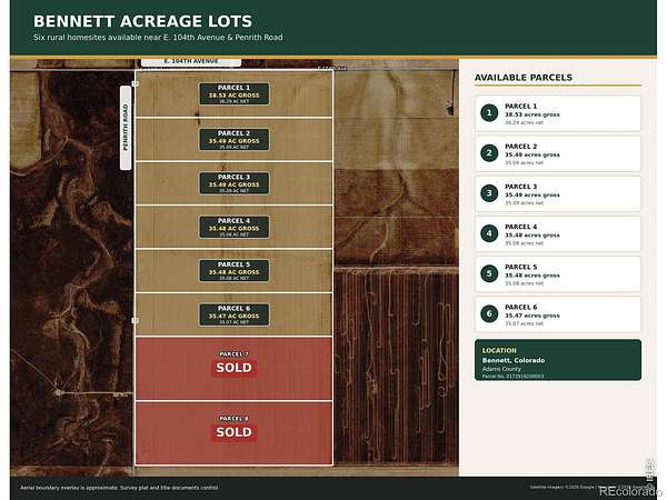
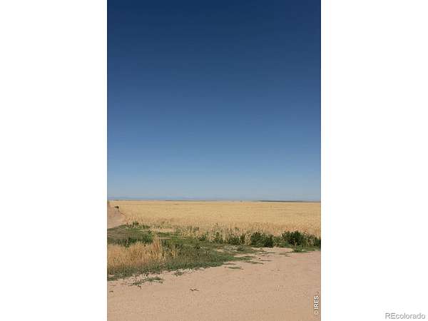
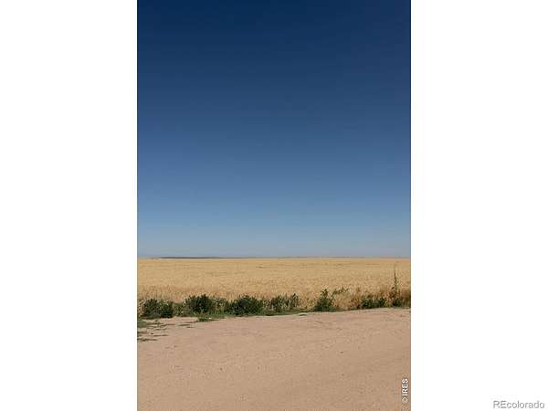
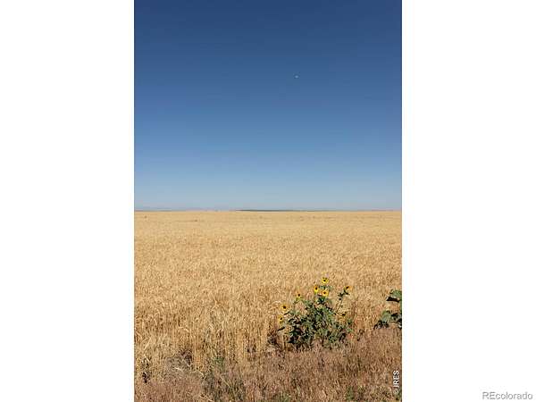
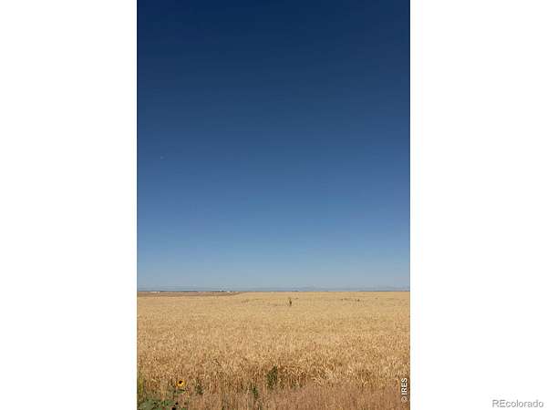
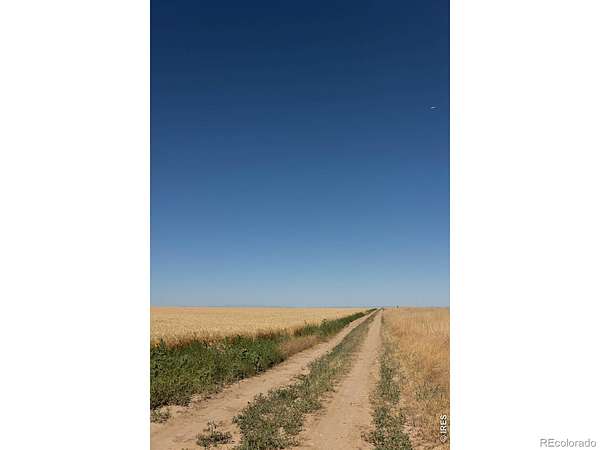
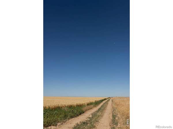
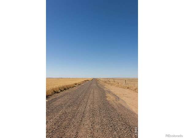
Build your Colorado country property on one of six available 35-plus-acre homesites near Bennett. Located approximately 15 minutes east of Denver International Airport and 10 minutes north of Bennett, these parcels offer convenient Front Range access without giving up the privacy and open space of rural living.Each lot features wide-open views, impressive Rocky Mountain scenery to the west, and plenty of room for a custom home, shop, animals, or small agricultural operation. The parcels are eligible for a full-use domestic well permit, subject to state approval, and buried electrical service is provided to each lot. Acreages range from approximately 35.47 to 38.53 gross acres.These properties are competitively priced compared with neighboring acreage and offer a strong combination of location, utilities, usable land, mountain views, and rural freedom. Contact the agent for the individual parcel map, exact acreage, legal description, well information, and a map pin.
- Listed by Jesse Schroeder, (970) 939-0413, AGPROfessionals
Location
- Street address
- Penrith Rd, Parcel Two
- County
- Adams County
- Zip code
- 80102
- Elevation
- 5,245 feet
Directions
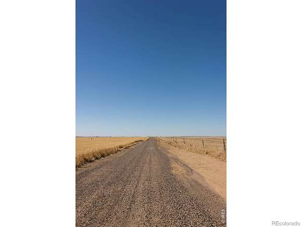
From Kiowa-Bennett Road, travel west on E. 88th Avenue (Irondale Road), then turn north on Penrith Road at the AGPRO sign. The lots are approximately 0.5 mile north on the east side of Penrith Road. Contact the listing agent for a map pin.
Property details
- Acreage
- 35.49 acres
- Zoning
- AG
- MLS #
- REcolorado IR1068956
- Posted
Parcels
- 0172916200003
Legal description
BEING PART OF THE NORTHWEST 1/4 OF SECTION 16, TOWNSHIP 2 SOUTH, RANGE 63 WEST OF THE 6TH P.M., COUNTY OF ADAMS, STATE OF COLORADO, MORE PARTICULARLY DESCRIBED AS FOLLOWS: BASIS OF BEARING: ASSUMING THE WEST LINE OF SAID SECTION 16 AS BEARING NORTH 00 DEGREES 38 MINUTES 49 SECONDS WEST AS SHOWN ON THIS SURVEY WITH ALL OTHER BEARINGS CONTAINED HEREIN RELATIVE THERETO. COMMENCING AT THE NORTHWEST CORNER OF SAID SECTION 16; THENCE ALONG THE WEST LINE OF THE NORTHWEST 1/4 OF SAID SECTION 16 SOUTH 00 DEGREES 38 MINUTES 49 SECONDS EAST A DISTANCE OF 635.01 FEET TO THE POINT OF BEGINNING; THENCE NORTH 89 DEGREES 08 MINUTES 49 SECONDS EAST A DISTANCE OF 2,643.12 FEET TO A POINT ON THE EAST LINE OF THE NORTHWEST 1/4 OF SAID SECTION 16; THENCE ALONG THE EAST LINE OF SAID NORTHWEST 1/4 OF SAID SECTION 16 SOUTH 00 DEGREES 36 MINUTES 14 SECONDS EAST A DISTANCE OF 585.00 FEET; THENCE DEPARTING SAID EAST LINE OF THE NORTHWEST 1/4 OF SAID SECTION 16 SOUTH 89 DEGREES 08 MINUTES 49 SECONDS WEST A DISTANCE OF 2,642.68 FEET TO A
Details and features
Listing
- Type
- Land
- Subtype
- Improved Land
- Possible Use
- Residential
- Ownership
- Individual
- Possession
- Closing/DOD
Lot
- View
- Mountain(s)
Exterior
- Horses Allowed
- Yes
Structure
- Water
- Well
Property utilities
| Category | Type | Status |
|---|---|---|
| Water | Private Well | Available |
Listing history
| Date | Event | Price | Change | Source |
|---|---|---|---|---|
| Sept 18, 2026 | New listing | $240,000 | — | REcolorado |
Payment calculator

Based on information submitted to the MLS GRID as of Sept 20, 2026 3:00 am MT. All data is obtained from various sources and may not have been verified by broker or MLS GRID. Supplied Open House Information is subject to change without notice. All information should be independently reviewed and verified for accuracy. Properties may or may not be listed by the office/agent presenting the information. Some IDX listings have been excluded from this website. View more