Land for Sale in Starks, Louisiana
Phillip Corry Rd Starks, LA 70661
Images
Map


$75,000
Active sale$24.9k dropEst $583/mo
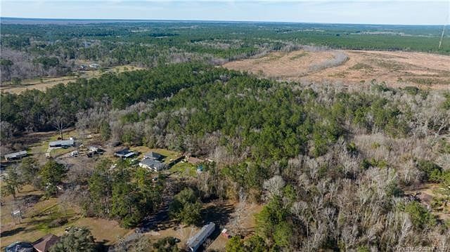
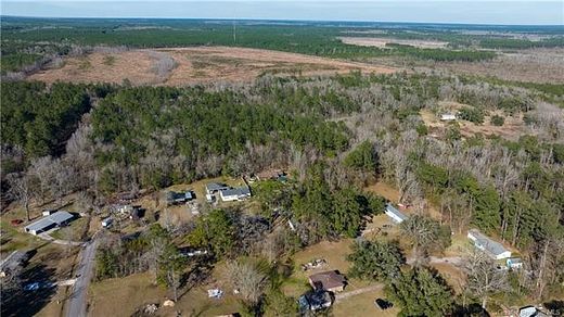
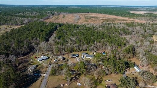
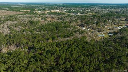
Approximately 20 acres of land located in Starks. Flood zone X and AE according to Fema flood maps. All measurements are M/L. Drive by to view.
Directions
Going North on Old River Rd, turn right on Phillip Corry Rd. Property located in back corner.
Location
- Street Address
- Phillip Corry Rd
- Parish
- Calcasieu Parish
- Elevation
- 30 feet
Property details
- MLS Number
- GSMLS SWL23000877
- Date Posted
Parcels
- 00195340
Resources
Detailed attributes
Listing
- Type
- Land
Exterior
- Features
- 16-20 Units/Acre
Listing history
| Date | Event | Price | Change | Source |
|---|---|---|---|---|
| Dec 13, 2024 | Price drop | $75,000 | $24,900 -24.9% | GSMLS |
| May 22, 2023 | Price drop | $99,900 | $25,100 -20.1% | GSMLS |
| Apr 17, 2023 | Price drop | $125,000 | $20,000 -13.8% | GSMLS |
| Mar 13, 2023 | Price drop | $145,000 | $14,000 -8.8% | GSMLS |
| Feb 9, 2023 | New listing | $159,000 | — | GSMLS |
Payment calculator
Cassie Brydels
Flavin Realty
Contact listing agent
By submitting, you agree to the terms of use, privacy policy, and to receive communications.