Properties
Find agent
Post property
Log in
Sign up
Search here
List
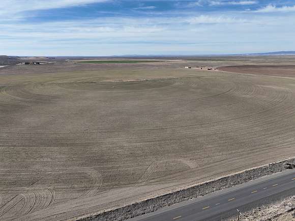
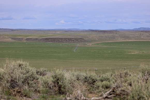
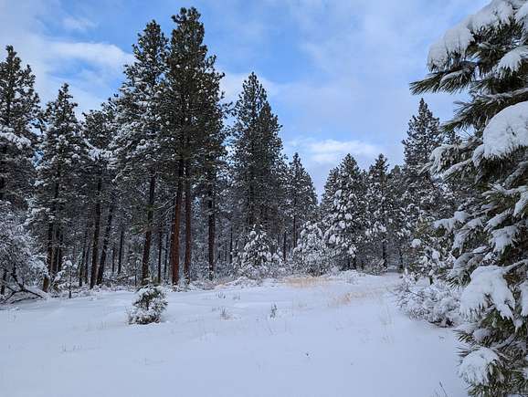
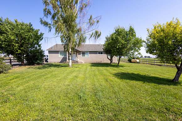
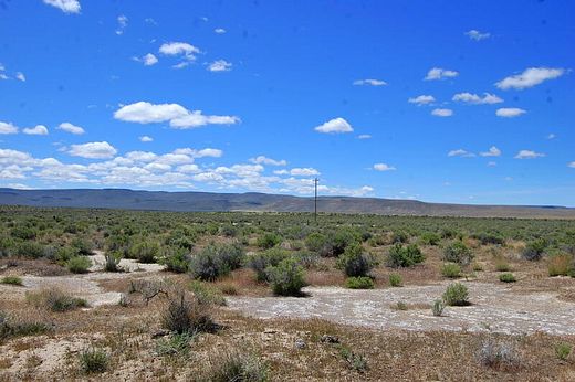
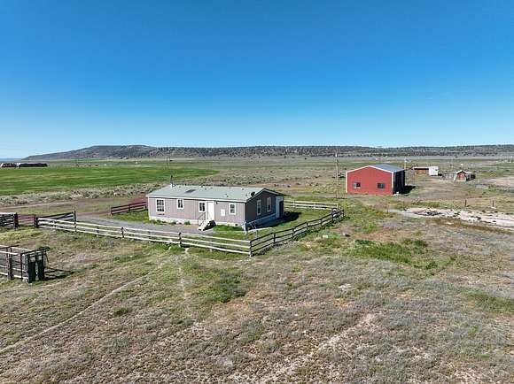
Burns, OR land for sale
Price
Size
Filters
Save search
61 properties
For you
For you
Newest
Price hi-lo
Price lo-hi
Size hi-lo
Size lo-hi
Updated
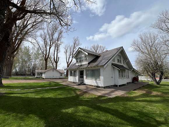
33 days ago
$599,000
106 acres
Harney County
3 bd, 2 ba • 1,770 sq ft
Burns, OR 97720
1 day
$60,000
40 acres
Harney County
Burns, OR 97720
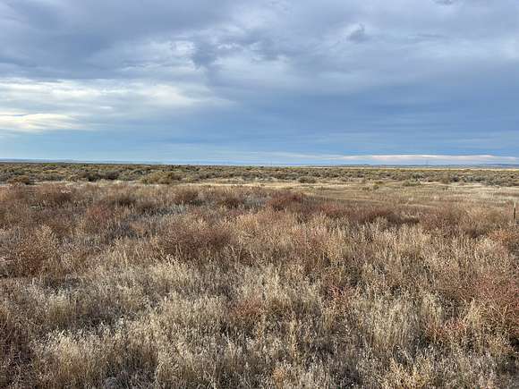
41 days ago
$325,000
9.19 acres
Harney County
3 bd, 1 ba • 972 sq ft
Burns, OR 97720
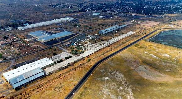
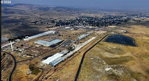
2 months ago
$4,499,000
957 acres
Harney County
4 bd, 3 ba • 2,483 sq ft
Burns, OR 97720
19 hours
$85,000
157 acres
Harney County
Burns, OR 97720
33 days ago
$395,000
157 acres
Harney County
Burns, OR 97720
$500k drop • Dec 4
$15,000,000
6,538 acres
Harney County
7 bd, 5 ba • 3,399 sq ft
Burns, OR 97720
36 days ago
$195,000
160 acres
Harney County
Burns, OR 97720
4 months ago
$525,000
17.6 acres
Harney County
4 bd, 3 ba • 2,016 sq ft
Burns, OR 97720
2 months ago
$145,000
160 acres
Harney County
Burns, OR 97720
6 months ago
$1,700,000
760 acres
Harney County
Burns, OR 97720
5 months ago
$890,000
162 acres
Harney County
2 bd, 1 ba • 1,188 sq ft
Burns, OR 97720
2 years ago
$1,000,000
513 acres
Harney County
Burns, OR 97720
5 months ago
$3,400,000
1,473 acres
Harney County
4 bd, 3 ba • 5,009 sq ft
Burns, OR 97720
$10.5k drop • Oct 14
$49,500
0.23 acres
Harney County
Burns, OR 97720
11 months ago
$2,130,000
454 acres
Harney County
3 bd, 3 ba • 2,920 sq ft
Burns, OR 97720
22 months ago
$2,225,000
720 acres
Harney County
Burns, OR 97720
10 months ago
$4,900,000
5,444 acres
Harney County
12 bd, 8 ba • 7,034 sq ft
Burns, OR 97720
5 months ago
$195,000
158 acres
Harney County
Burns, OR 97720
$850k drop • Oct 30
$1,650,000
842 acres
Harney County
918 sq ft
Burns, OR 97720
$15k drop • Nov 23
$410,000
416 acres
Harney County
Burns, OR 97720
4 months ago
$440,000
240 acres
Harney County
Burns, OR 97720
$10k drop • Dec 6
$65,000
18 acres
Harney County
Burns, OR 97720
5 months ago
$285,000
80 acres
Harney County
4 bd, 2 ba • 1,836 sq ft
Burns, OR 97720
5 months ago
$55,000
6.57 acres
Harney County
Burns, OR 97720
$600k drop • Oct 30
$2,850,000
2,371 acres
Harney County
4 bd, 2 ba • 2,690 sq ft
Burns, OR 97720
$250k drop • Dec 7
$950,000
360 acres
Harney County
Burns, OR 97720
$100k drop • Oct 30
$6,200,000
1,719 acres
Harney County
7 bd, 5 ba • — sq ft
Burns, OR 97720
17 months ago
$25,000
25 acres
Harney County
Burns, OR 97720
6 months ago
$205,000
279 acres
Harney County
Burns, OR 97720
9 months ago
$170,000
205 acres
Harney County
Burns, OR 97720
15 months ago
$1,200,000
20 acres
Harney County
Burns, OR 97720
9 months ago
$125,000
160 acres
Harney County
Burns, OR 97720
14 months ago
$375,000
320 acres
Harney County
Burns, OR 97720
16 months ago
$40,000
40 acres
Harney County
Burns, OR 97720
4 years ago
$—
1 acre
Harney County
Burns, OR 97720
6 months ago
$60,000
0.48 acres
Harney County
Burns, OR 97720
11 months ago
$275,000
362 acres
Harney County
Burns, OR 97720
9 months ago
$450,000
230 acres
Harney County
Burns, OR 97720
21 months ago
$375,000
440 acres
Harney County
Burns, OR 97720
pending
Under contract
$234,000
40 acres
Harney County
2 bd, 2 ba • 1,215 sq ft
Burns, OR 97720
2 years ago
$20,000
20 acres
Harney County
Burns, OR 97720
7 months ago
$25,000
20 acres
Harney County
Burns, OR 97720
$46k drop • Nov 22
$499,000
1.56 acres
Harney County
5 bd, 3 ba • 3,178 sq ft
Burns, OR 97720
14 months ago
$265,000
320 acres
Harney County
— sq ft
Burns, OR 97720
4 years ago
$19,900
40 acres
Harney County
Burns, OR 97720
56 days ago
$119,000
11 acres
Harney County
Hines, OR 97738
56 days ago
$99,000
9.7 acres
Harney County
Hines, OR 97738
$26k drop • Oct 17
$99,000
9.7 acres
Harney County
Hines, OR 97738
$30k drop • Oct 17
$119,000
11 acres
Harney County
Hines, OR 97738
1
2
1-50 of 61 properties
View map