Properties
Find agent
Post property
Log in
Sign up
Search here
List
Rockport, MA land for sale
Price
Size
Filters
Save search
1 property
For you
For you
Newest
Price hi-lo
Price lo-hi
Size hi-lo
Size lo-hi
Updated
6 months ago
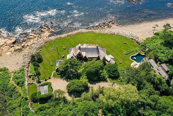
$8,200,000
2.34 acres
Essex County
5 bd, 6 ba • 10,400 sq ft
Gloucester, MA 01930
View map