
Land for Auction in Rosston, Arkansas
Nevada County, Rosston, AR 71858
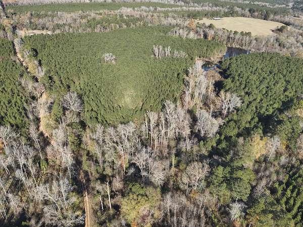
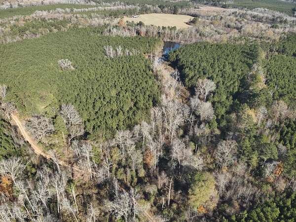
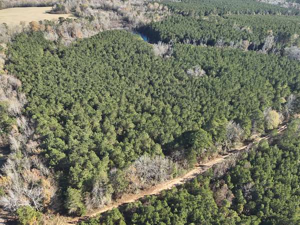
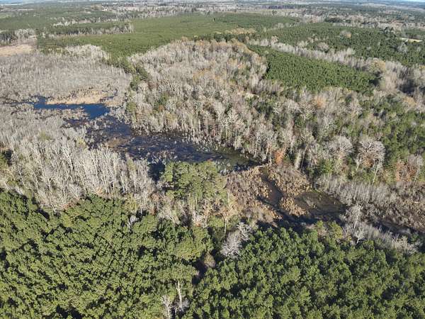
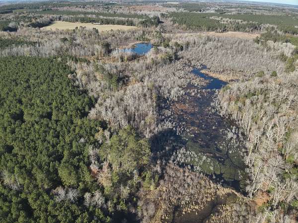
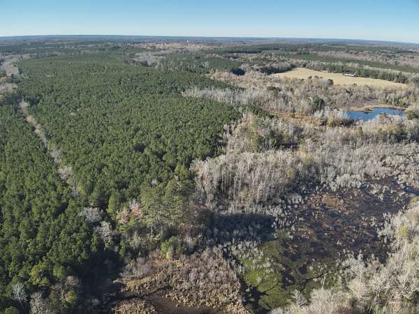
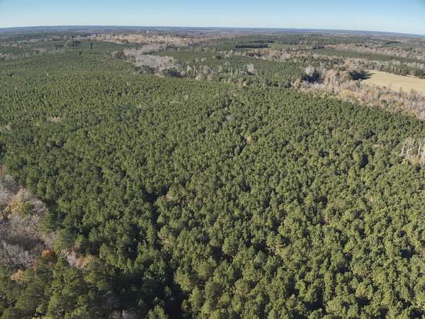
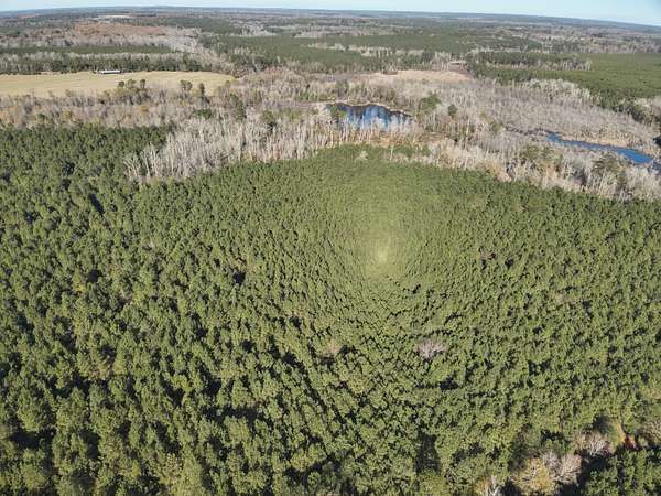
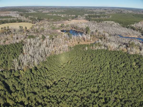
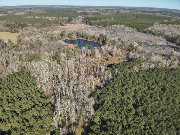
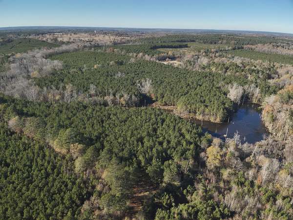
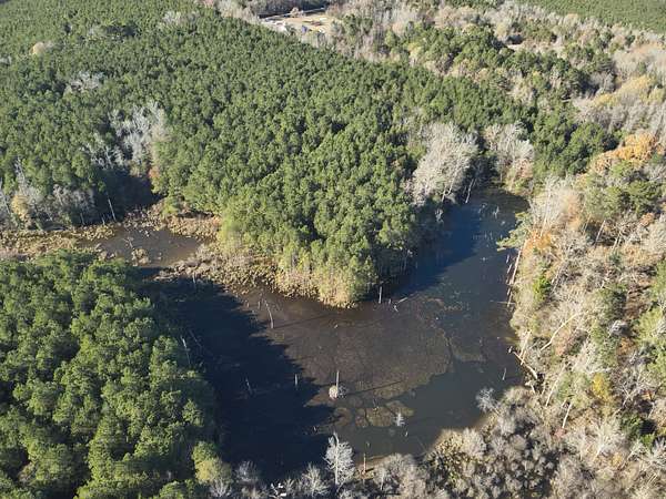
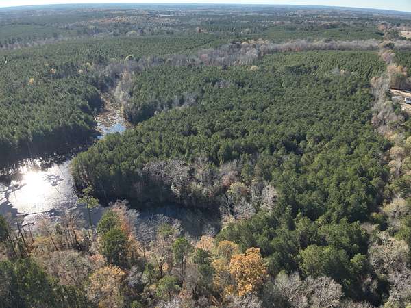
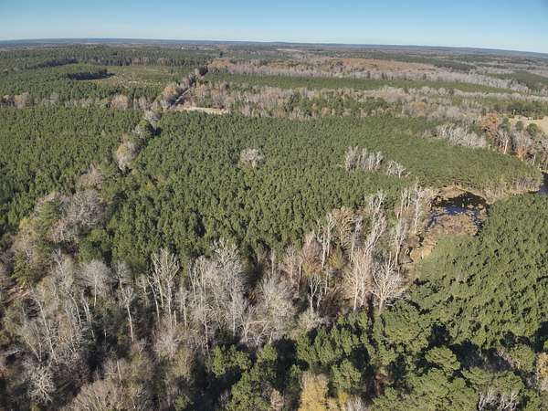
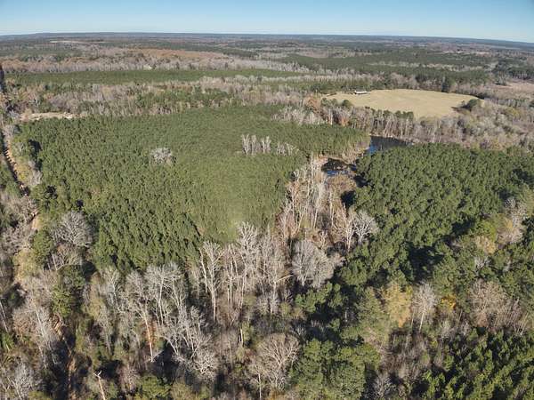
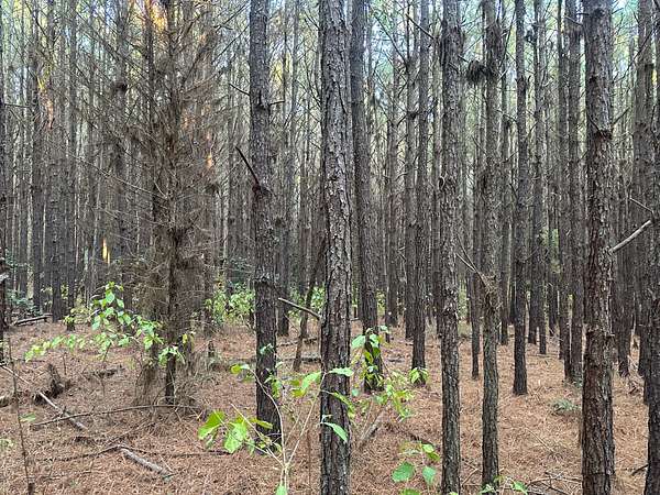
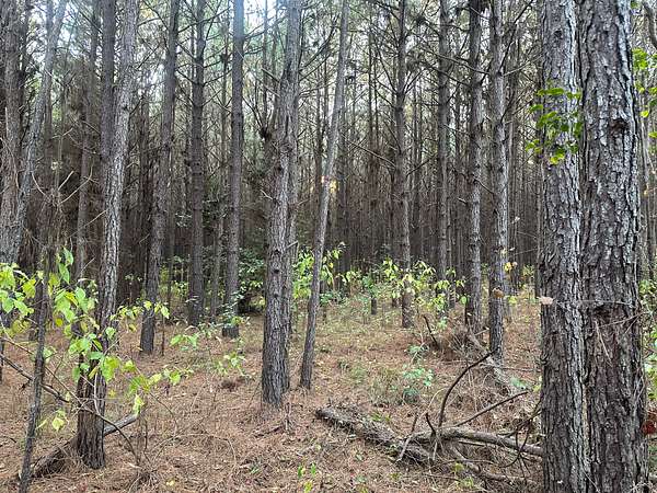
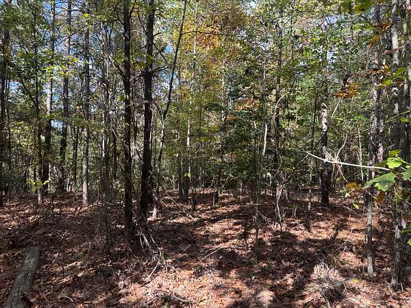
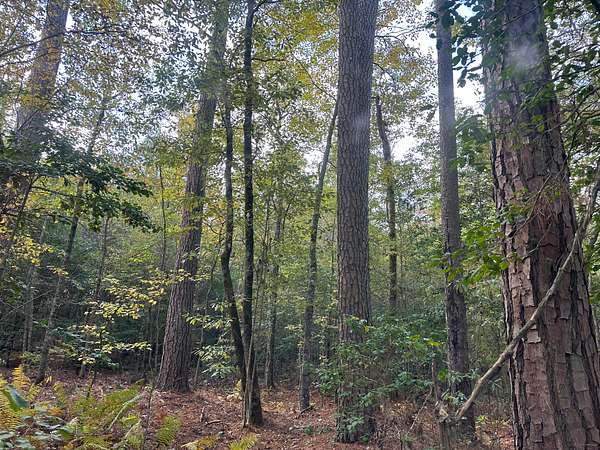
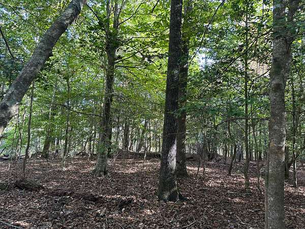
Hogan-22 (#03019-004105) is a +-120-acre tract of timberland located in the southwest part of Nevada County about nine miles southwest of Rosston, AR. Nevada Road
141 ends at the northwest corner of the property. A timber road continues to access the property along the western side. Nearly
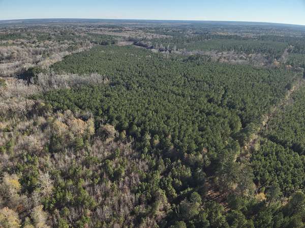
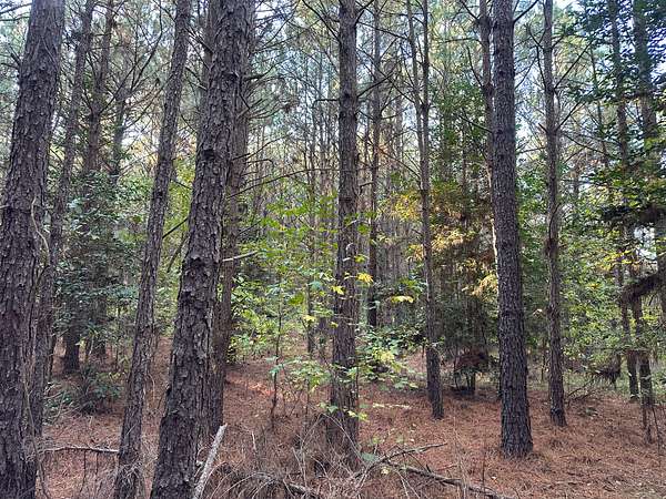
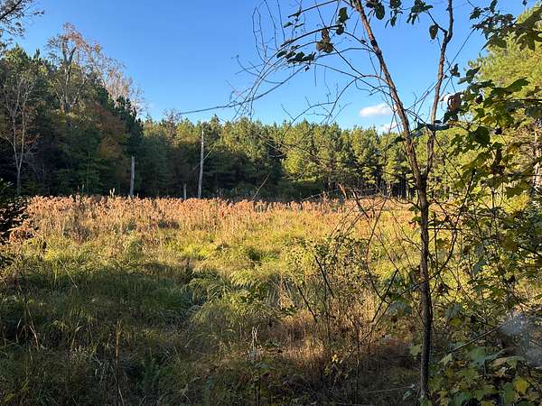
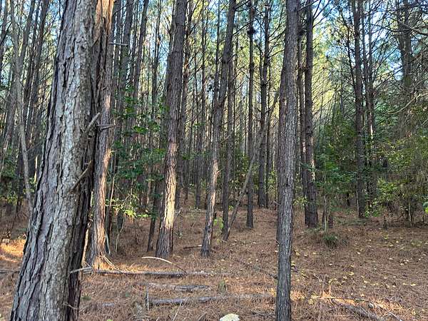
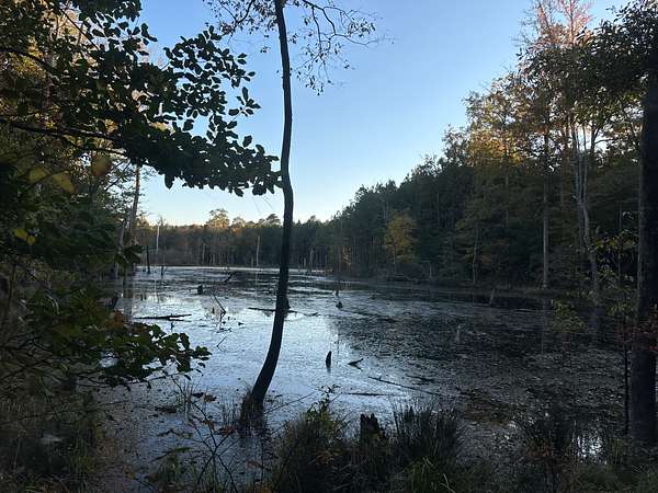
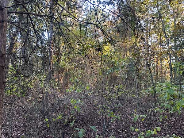
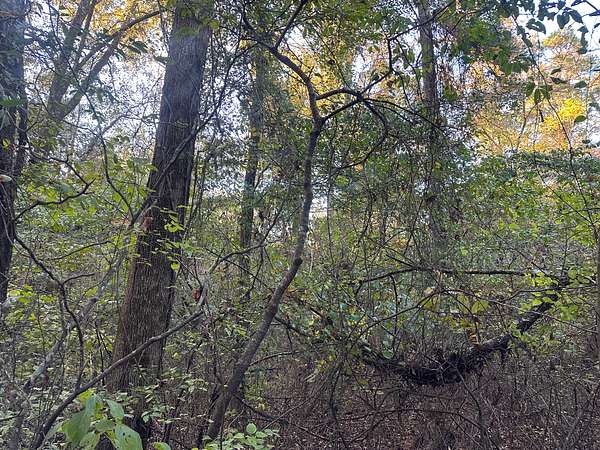
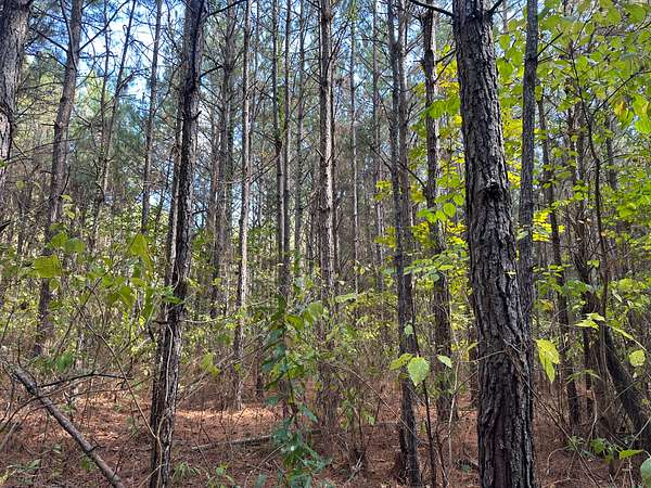
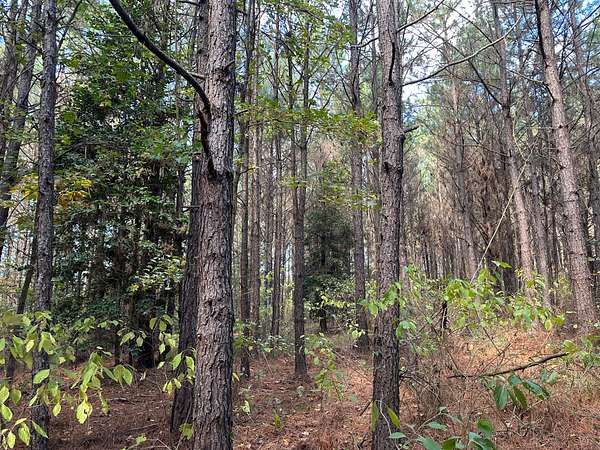
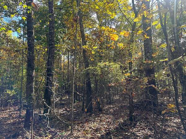
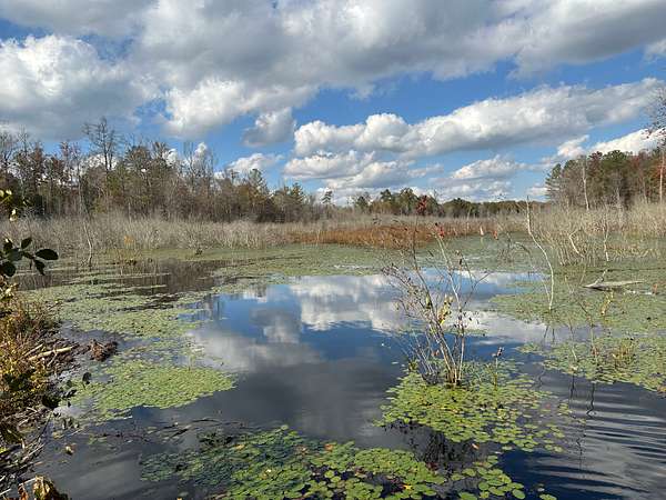
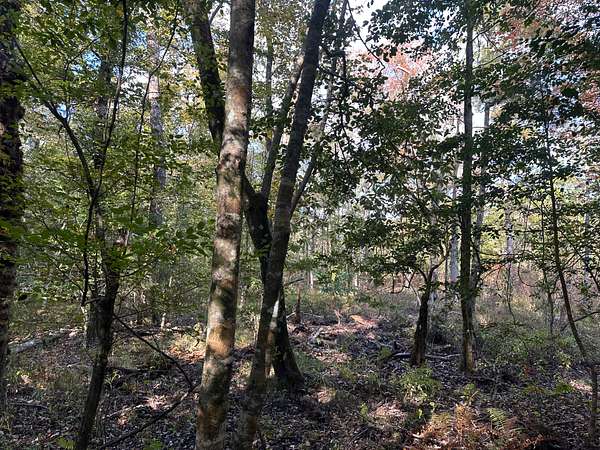
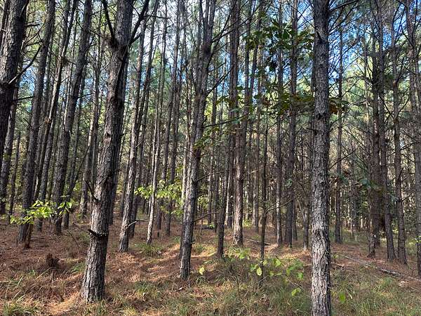
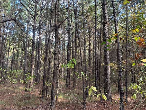
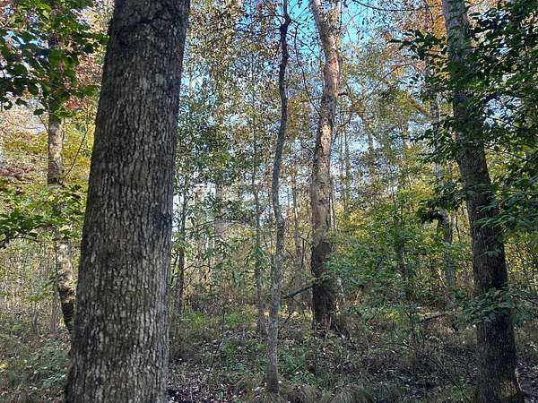
80 acres of the property were planted circa 2008 and have yet to be first-thinned. Over forty acres consist of hardwood bottoms & wetlands providing excellent diversity and wildlife habitat so whether it is ducks, deer, turkeys or hogs you are after you should find them here! Mineral rights are not available.
Legal Description 22: The
Northwest Quarter of the Southwest Quarter (NW 1/4 SW 1/4 ), The Southeast Quarter of the Southwest Quarter (SE 1/4 SW 1/4 ), & The Southwest Quarter of the Southeast
Quarter (SW 1/4 SE 1/4 ) of Section 28 in Township 14 South, Range 22 West, Nevada
County, Arkansas, containing +/- 120 acres (Tax Record: 001-08139-000; 001-08141-000)
Directions: From the intersection of state highways AR-53 and AR-32 at Bodcaw, travel south on AR-53 for 3.5 miles and turn left (east) onto Nevada CR-49 and go 1.0 mile and turn right onto Nevada CR-141. Travel south on
Nevada CR-141 approximately 0.5 miles to the property. The road continues south along the west side of the 40-acre parcel for 1.4 mile then continues southward and then eastward to the west boundary of the 80-acre parcel.
Auction details
- Price
- $198,000 minimum
Location
- County
- Nevada County
- Elevation
- 304 feet
Property details
- Acreage
- 120 acres
- Posted
Listing history
| Date | Event | Price | Change | Source |
|---|---|---|---|---|
| Dec 20, 2025 | New listing | $— | — | Listing agent |