Recreational & Residential Land for Sale in Deer Trail, Colorado
Royal Star St, Deer Trail, CO 80105
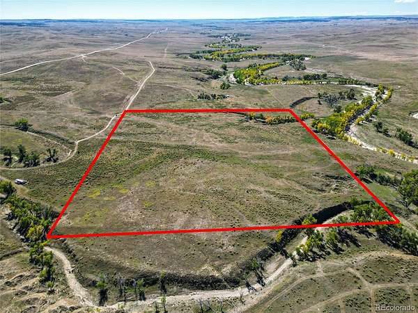
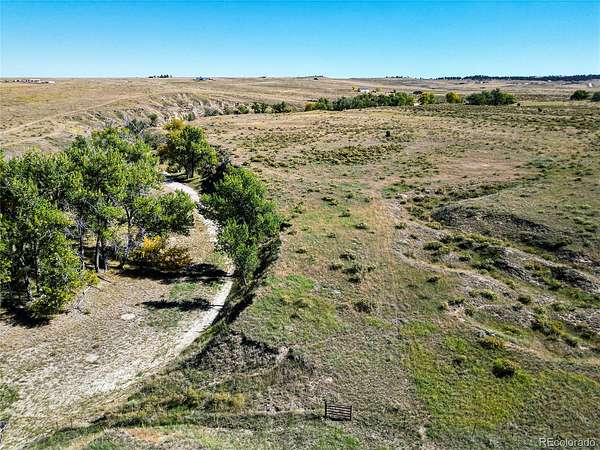
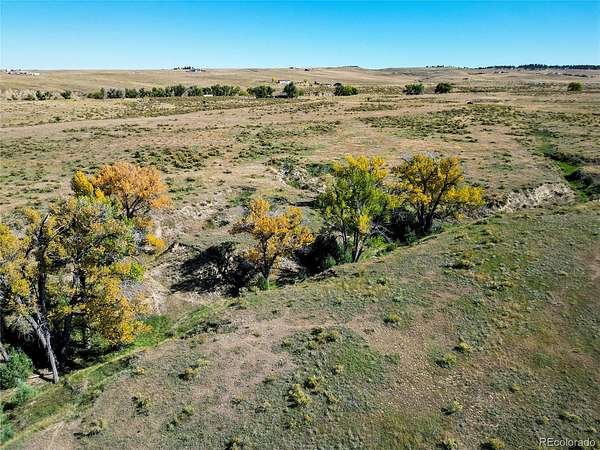
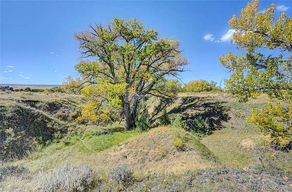
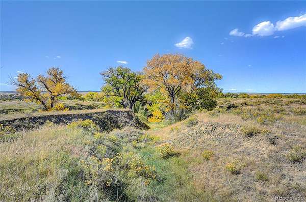
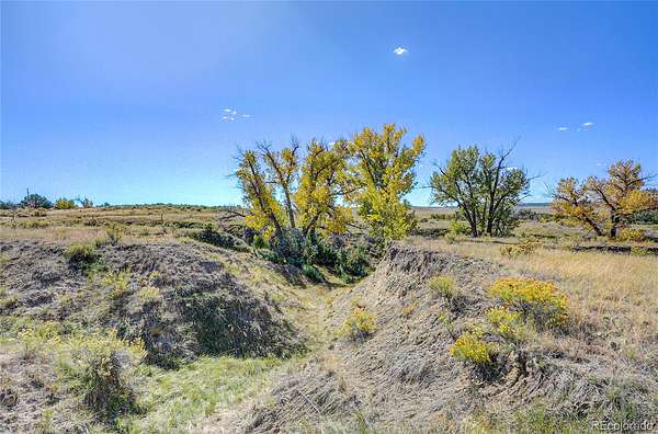
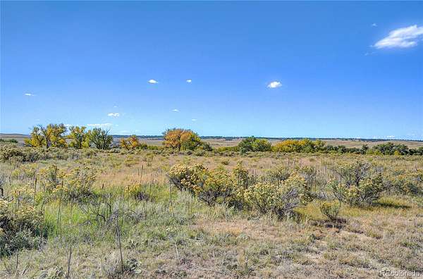
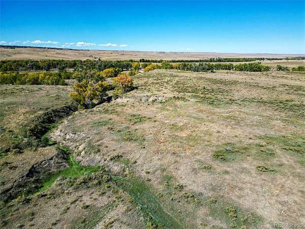
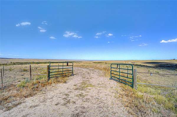
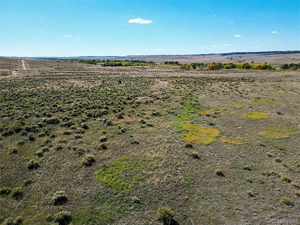
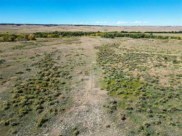
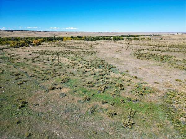
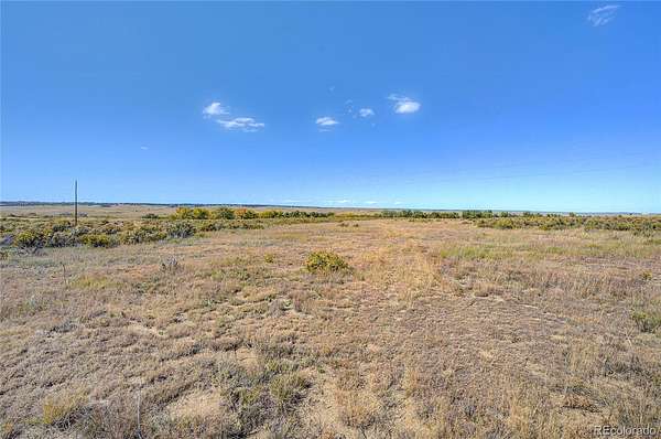
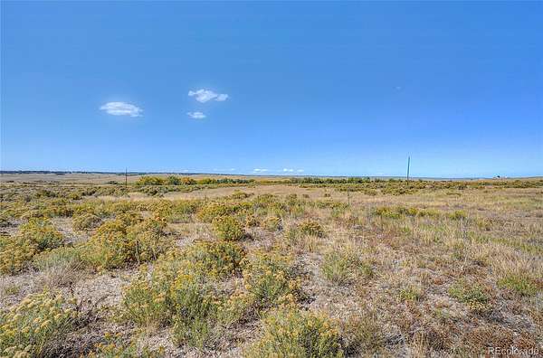
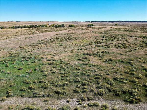
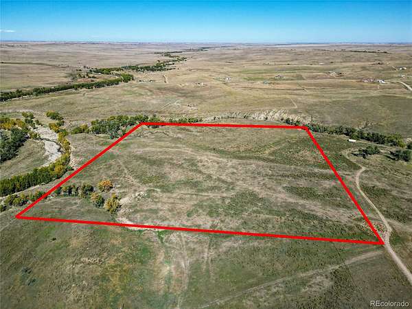
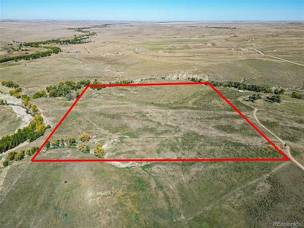
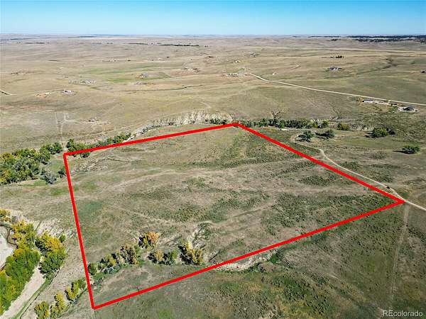
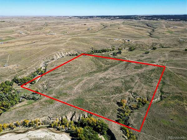
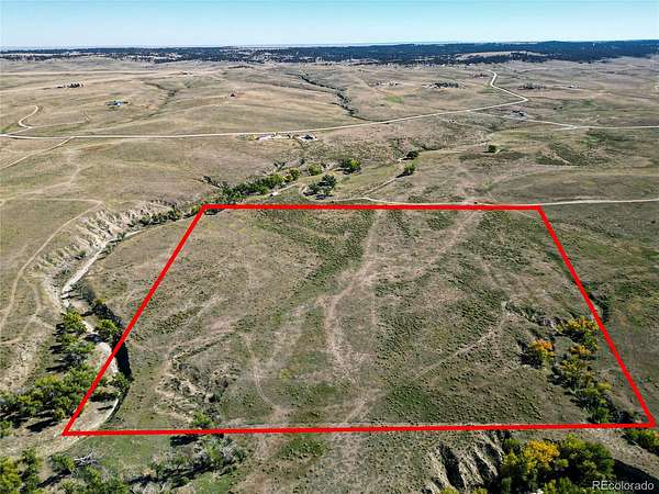
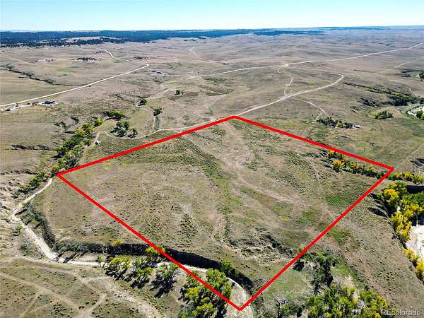
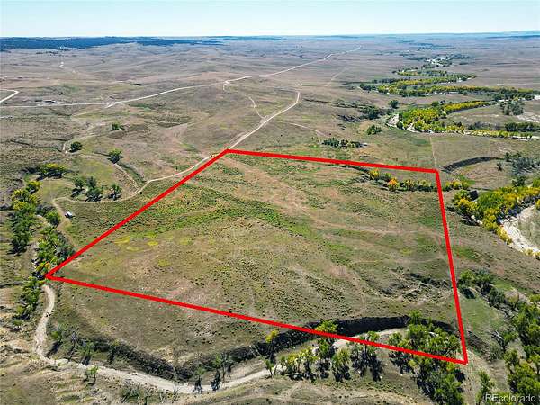
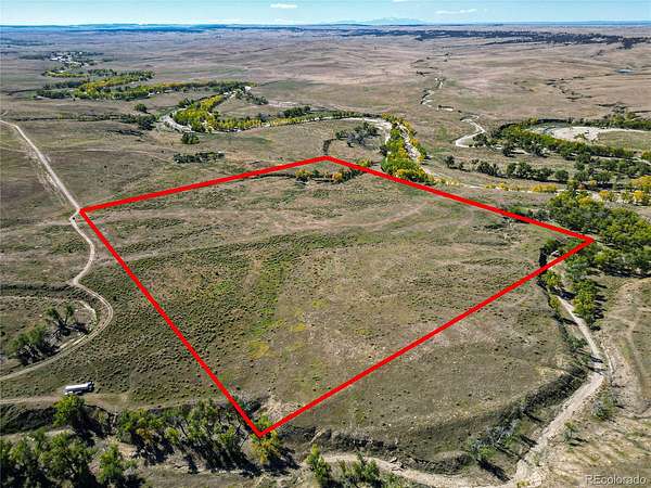
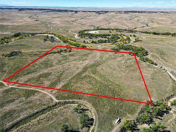
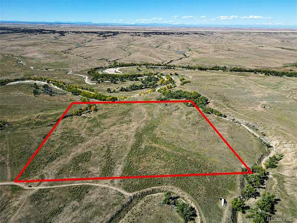
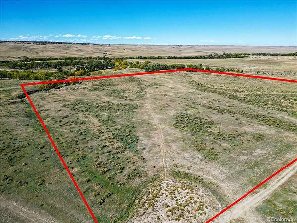
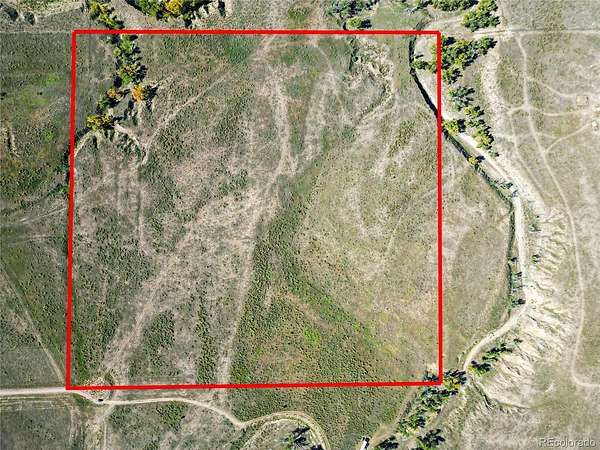
Looking for acreage with room to plan your next move? Stargazer Ranch is located in the historic Bijou Basin of Elbert County, Colorado, offering approximately 40 acres within an exclusive community of eight parcels. Whether you envision a custom home, a barndominium, a recreational retreat, or land for agricultural use, this property offers space to explore the possibilities. Surrounded by native prairie grasses, natural ravines, and diverse terrain, the property offers a rural setting where wildlife roams and stargazing is easy. The property includes groundwater rights associated with three aquifers, conveyed by special warranty deed. Buyers should independently verify the scope and status of these rights, permitted uses, well requirements, and applicable water regulations. Access is via Royal Star Street, a private community road governed by a road maintenance agreement. Mountain View Electric was identified as the anticipated electricity provider along the road. Buyers should independently verify utility availability, connection costs, road access, zoning, building requirements, and the feasibility of their intended use before purchasing.
- Listed by Monique Santilli, (720) 795-6562, Real Broker
Location
- Street address
- Royal Star St, Lot 2
- County
- Elbert County
- Zip code
- 80105
- Community
- Stargazer Ranch
- School district
- Agate 300
- Elevation
- 5,673 feet
Directions
Coordinates:
39.45654, -104.28079
Turn left onto E Co Rd 42/Knudtson Rd and continue for 0.9 miles. Continue onto Ridge Rd for 2.1 miles, then continue onto Co Rd 101 for 8.6 miles. Turn right onto Emerald Trail and continue for 1.7 miles. Turn left onto Amethyst Rd and continue for 1.3 miles, then continue on Amethyst Rd for another 0.2 miles. Continue onto Way of Peace for 1.3 miles, turn left, then turn right.
Go in through the gate (Code 1957) and down to the end of the easement.
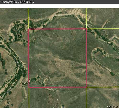
There where yellow stakes out there marking the property lines but not sure if neighbors took those out or not.
Use a land-mapping app for boundaries.
Consider onX Hunt or Land id. These are useful for viewing parcel boundaries, GPS coordinates, and terrain.
Please review the directions carefully and make sure you know where you’re going beforehand. I have not personally been to the property, and the directions provided is all info available. I’m unable to provide additional details about accessing the property.
Property details
- Acreage
- 40.02 acres
- Zoning
- Ag
- Access
- Easement
- MLS #
- REcolorado 8171044
- Posted
Property taxes
- 2025
- $18
Legal description
SOUTHWEST 1/4 OF THE NORTHEAST 1/4 OF SECTION
12, TOWNSHIP 7 SOUTH, RANGE 62 WEST OF THE 6TH
P.M. COUNTY OF ELBERT, STATE OF COLORADO
Details and features
Listing
- Type
- Land
- Subtype
- Unimproved Land
- Current Use
- Vacant
- Possible Use
- Agricultural, Residential
- Ownership
- Individual
- Terms
- Cash, Conventional, USDA Loan, VA Loan
- Exclusions
- Sellers Personal Property
- Possession
- Closing/DOD
Lot
- Vegetation
- Brush, Cleared, Grassed, Natural State
- Road Frontage
- Easement
- Road Surface
- Dirt, Gravel
- Rights
- Water Rights
- Features
- Level
Exterior
- Horses Allowed
- Yes
Structure
- Water
- Private
Listing history
| Date | Event | Price | Change | Source |
|---|---|---|---|---|
| Oct 11, 2026 | New listing | $175,000 | — | REcolorado |
Payment calculator

Based on information submitted to the MLS GRID as of Oct 14, 2026 11:00 pm MT. All data is obtained from various sources and may not have been verified by broker or MLS GRID. Supplied Open House Information is subject to change without notice. All information should be independently reviewed and verified for accuracy. Properties may or may not be listed by the office/agent presenting the information. Some IDX listings have been excluded from this website. View more