Properties
Find agent
Post property
Log in
Sign up
Search here
List
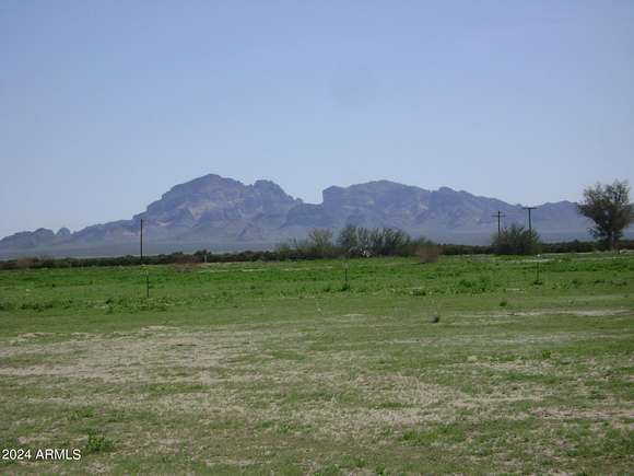
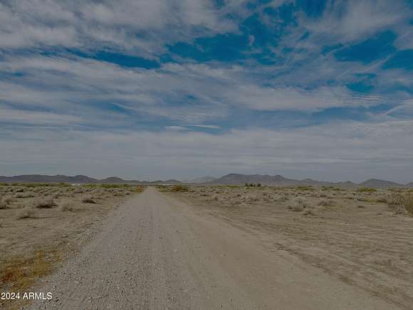
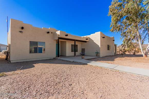
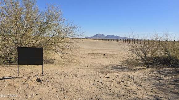
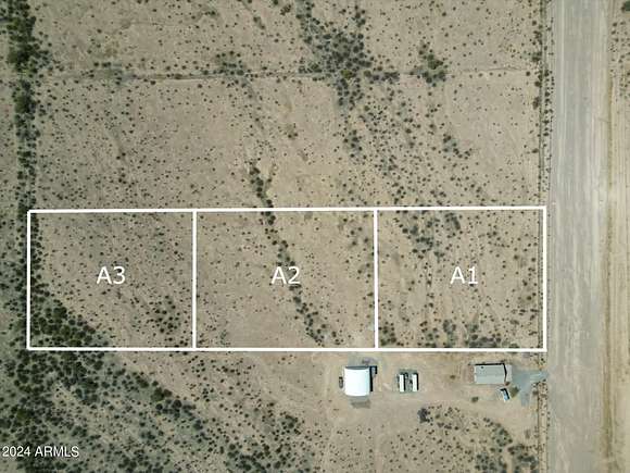
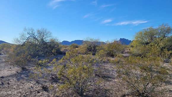
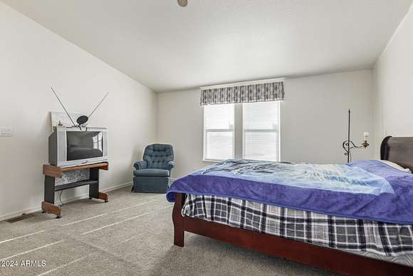
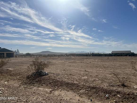
Tonopah, AZ land for sale
Price
Size
Filters
Save search
346 properties
For you
For you
Newest
Price hi-lo
Price lo-hi
Size hi-lo
Size lo-hi
Updated
13 days
$35,000
2.1 acres
Maricopa County
Tonopah, AZ 85354
2 days
$104,900
2 acres
Maricopa County
Tonopah, AZ 85354
23 days
$25,000
1 acre
Maricopa County
Tonopah, AZ 85354
53 days ago
$14,000
1.16 acres
Maricopa County
Tonopah, AZ 85354
28 days
$25,000
1 acre
Maricopa County
Tonopah, AZ 85354
2 months ago
$16,500
1.16 acres
Maricopa County
Tonopah, AZ 85354
$1k drop • Nov 29
$12,500
0.23 acres
Maricopa County
Tonopah, AZ 85354
$1k drop • Nov 29
$12,500
0.23 acres
Maricopa County
Tonopah, AZ 85354
34 days ago
$85,000
4 acres
Maricopa County
Tonopah, AZ 85354
$25k drop • Nov 21
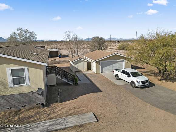
$625,000
2.13 acres
Maricopa County
4 bd, 2 ba • 2,734 sq ft
Tonopah, AZ 85354
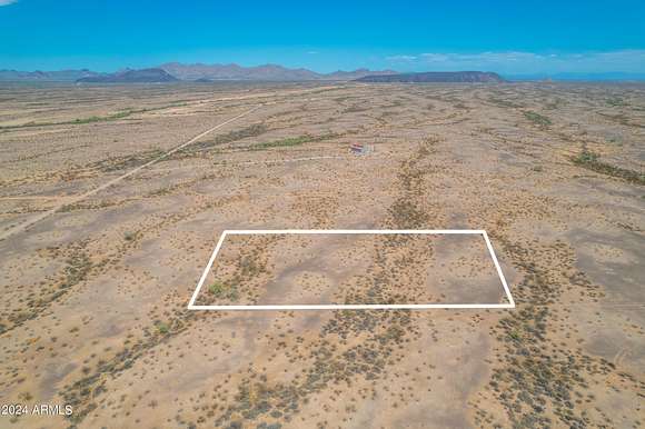
8 days
$250,000
40 acres
Maricopa County
Tonopah, AZ 85354
12 days
$525,000
2.5 acres
Maricopa County
3 bd, 2 ba • 1,430 sq ft
Tonopah, AZ 85354
3 months ago
$76,000
2 acres
Maricopa County
Tonopah, AZ 85354
2 months ago
$30,000
0.94 acres
Maricopa County
Tonopah, AZ 85354
2 months ago
$84,900
2 acres
Maricopa County
Tonopah, AZ 85354
2 months ago
$80,000
2.23 acres
Maricopa County
Tonopah, AZ 85354
$3.29k drop • Dec 3
$79,900
9.24 acres
Maricopa County
Tonopah, AZ 85354
17 days
$385,000
9.5 acres
Maricopa County
Tonopah, AZ 85354
26 days
$55,000
10 acres
Maricopa County
Tonopah, AZ 85354
2 months ago
$199,000
3.3 acres
Maricopa County
Tonopah, AZ 85354
2 months ago
$120,000
20 acres
Maricopa County
Tonopah, AZ 85354
$4.56k drop • Dec 3
$84,900
10 acres
Maricopa County
Tonopah, AZ 85354
4 months ago
$40,000
1.25 acres
Maricopa County
Tonopah, AZ 85354
$5k drop • Nov 8
$65,000
4.38 acres
Maricopa County
Tonopah, AZ 85354
29 days
$149,000
1.25 acres
Maricopa County
Tonopah, AZ 85354
$5k drop • Nov 8
$65,000
4.56 acres
Maricopa County
Tonopah, AZ 85354
2 months ago
$60,000
1.25 acres
Maricopa County
Tonopah, AZ 85354
7 months ago
$210,000
3.6 acres
Maricopa County
Tonopah, AZ 85354
2 months ago
$36,000
1 acre
Maricopa County
Tonopah, AZ 85354
2 months ago
$110,000
3.12 acres
Maricopa County
Tonopah, AZ 85354
$1.3k drop • Sept 13
$18,200
1.16 acres
Maricopa County
Tonopah, AZ 85354
27 days
$349,999
2.84 acres
Maricopa County
3 bd, 2 ba • 1,456 sq ft
Tonopah, AZ 85354
35 days ago
$70,000
1 acre
Maricopa County
Tonopah, AZ 85354
2 months ago
$60,000
1.25 acres
Maricopa County
Tonopah, AZ 85354
3 months ago
$75,000
40 acres
Maricopa County
Tonopah, AZ 85354
2 months ago
$120,000
2 acres
Maricopa County
Tonopah, AZ 85354
25 days
$825,000
9.7 acres
Maricopa County
3 bd, 2 ba • 1,974 sq ft
Tonopah, AZ 85354
46 days ago
$130,000
5 acres
Maricopa County
Tonopah, AZ 85354
$20k drop • Nov 25
$329,000
3 acres
Maricopa County
3 bd, 2 ba • 1,432 sq ft
Tonopah, AZ 85354
2 months ago
$650,000
2 acres
Maricopa County
4 bd, 3 ba • 2,472 sq ft
Tonopah, AZ 85354
7 months ago
$34,000
1 acre
Maricopa County
Tonopah, AZ 85354
16 months ago
$38,000
2 acres
Maricopa County
Tonopah, AZ 85354
$4.5k drop • Dec 11
$69,000
2.3 acres
Maricopa County
Tonopah, AZ 85354
10 months ago
$80,000
1.25 acres
Maricopa County
Tonopah, AZ 85354
2 years ago
$39,000
2 acres
Maricopa County
Tonopah, AZ 85354
5 years ago
$15,000,000
200 acres
Maricopa County
Tonopah, AZ 85354
39 days ago
$469,000
2 acres
Maricopa County
3 bd, 2 ba • 2,171 sq ft
Tonopah, AZ 85354
2 years ago
$49,000
2.36 acres
Maricopa County
Tonopah, AZ 85354
15 days
$49,900
10 acres
Maricopa County
Tonopah, AZ 85354
16 days
$375,000
7 acres
Maricopa County
Tonopah, AZ 85354
1
2
3
4
…
7
1-50 of 346 properties
View map