


Land for Sale in Golden, Colorado
S Rooney Rd, Golden, CO 80401
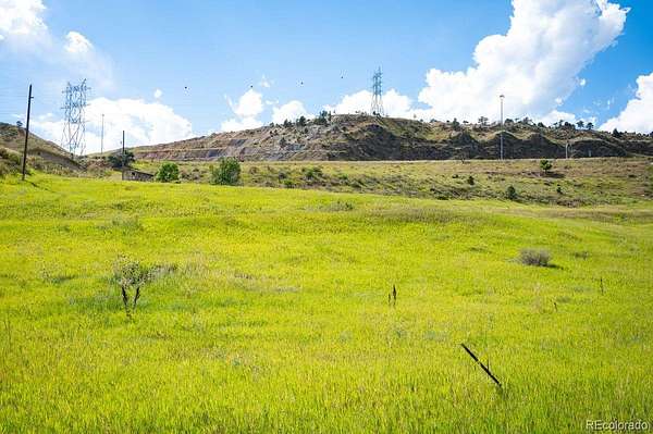
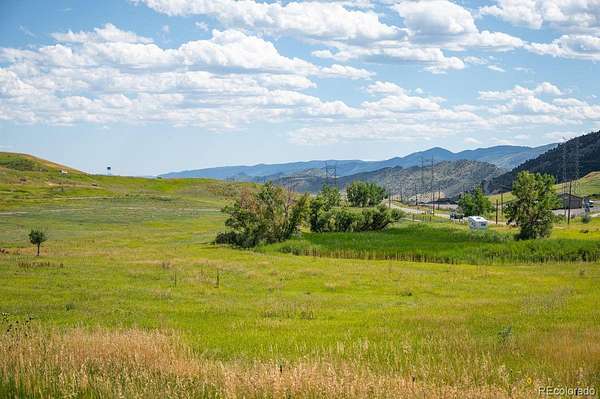
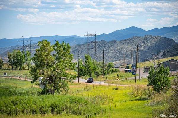
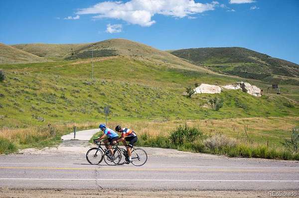
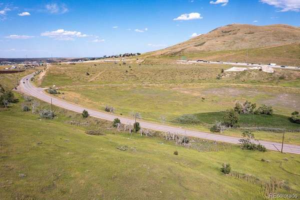
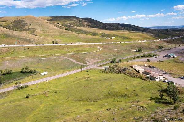
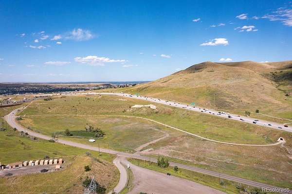
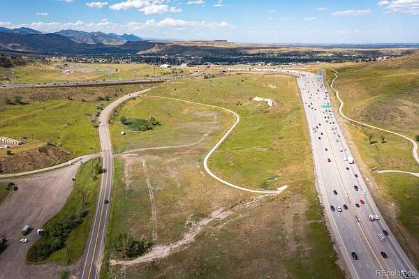
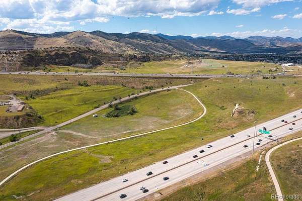
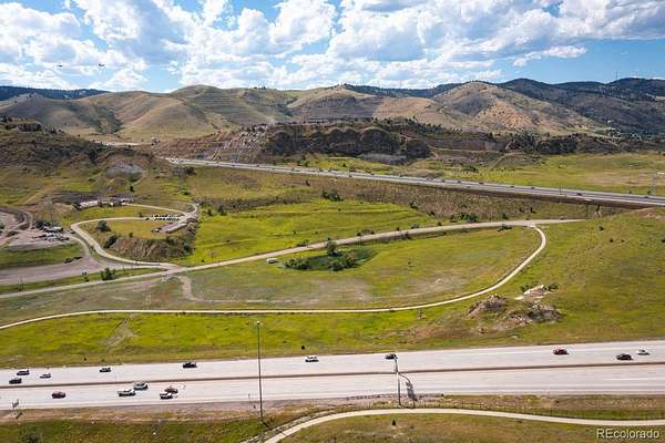
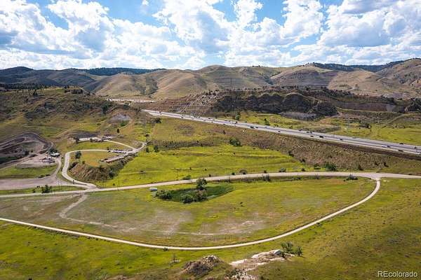
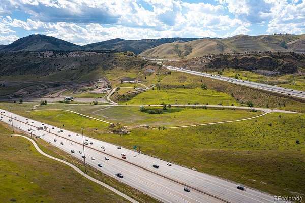
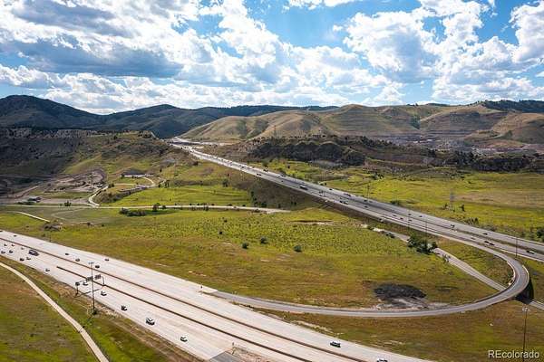
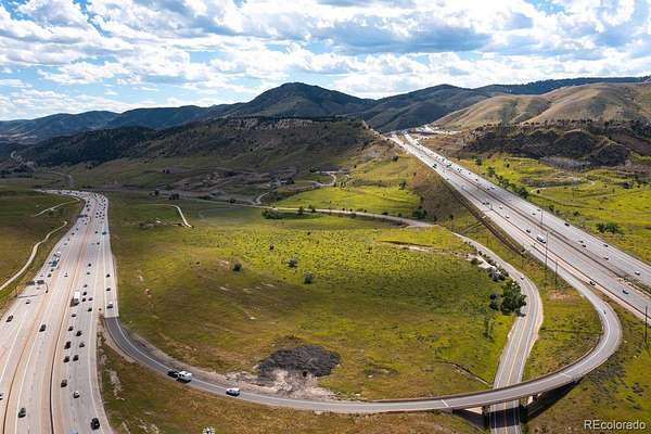
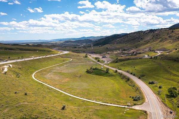
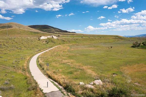
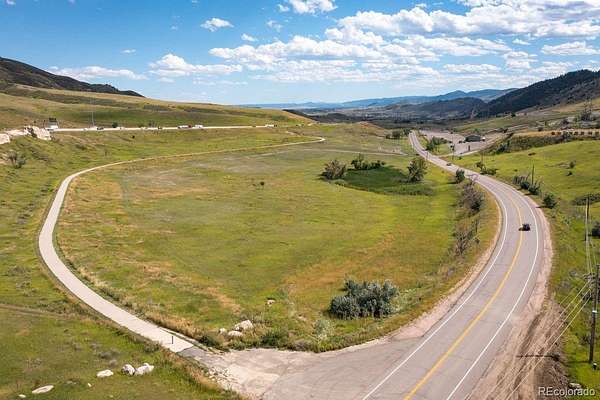
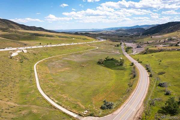
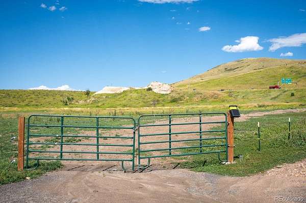
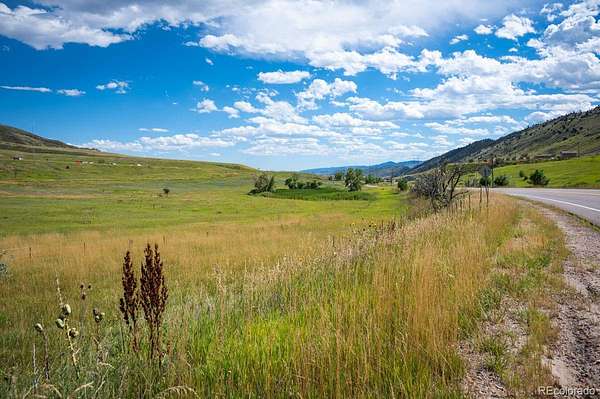
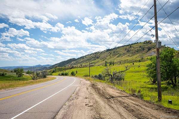
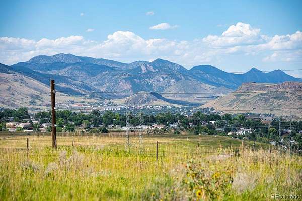
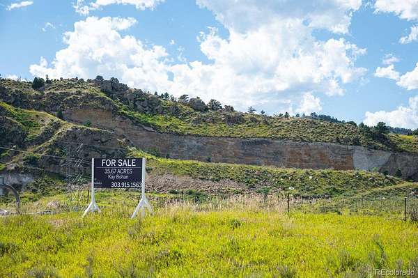
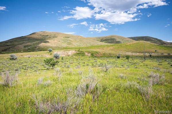
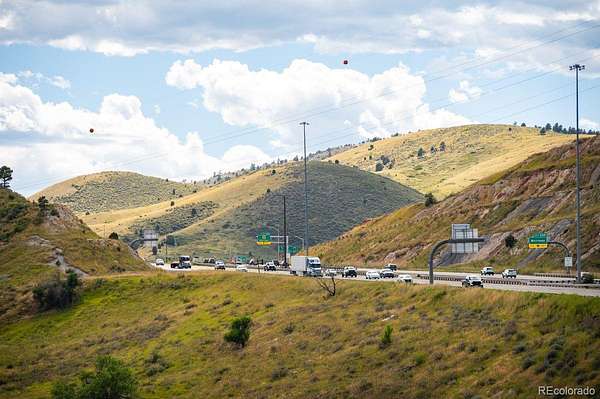
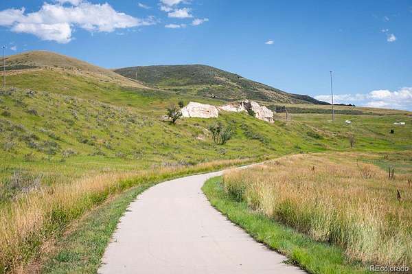
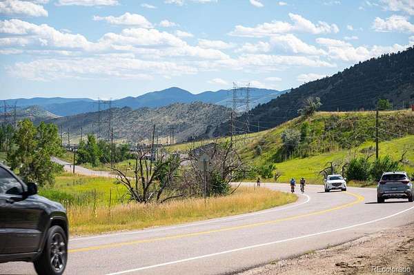
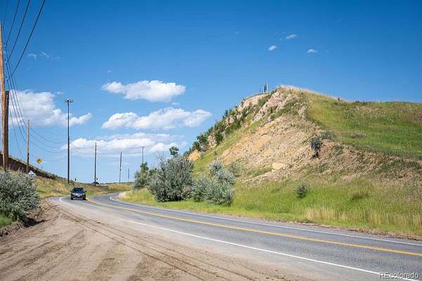
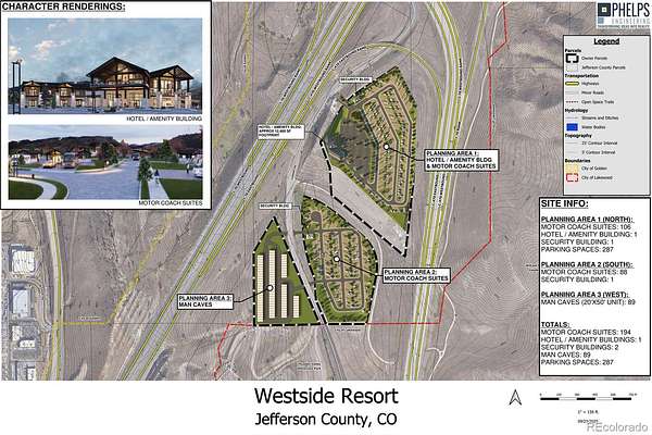
Possible Seller Financing if the financing terms are acceptable to the Seller`s for a portion of the purchase price. Re-zoning is Completed! Sellers are motivated, bring all offers for review. One of the best vacant land locations left just off the I-70/C-470. Highly visible location from both I-70 and C-470! If you are searching for that perfect location with the best visible site at the base of the Foothills just off I-70 your search is over. This parcel is nestled up against the Rocky Mountains at 6.851 Acres and referred to as Parcel A. The location has very easy access from C-470 and the Alameda Exit. The parcel can also be accessed from Hwy 40 and South Rooney Rd. High traffic area that has the potential for several business opportunities. Property is located near Red Rocks, Bandimere Speedway and Thunder Valley. This is a very unique one of kind opportunity.
Seller would consider a 1031 exchange.
Information regarding water, sewer, easements, soil reports, plat map and utilities will be given to a buyer once a non disclosure agreement is signed and completed by a prospective buyer.
Location
- Street address
- S Rooney Rd, Parcel A
- County
- Jefferson County
- Zip code
- 80401
- Elevation
- 6,127 feet
Directions
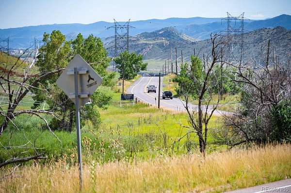
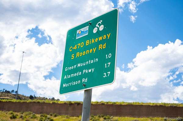
From C-470 take the Alameda Exit. Turn Right off the Alameda exit. Take your first right on South Rooney Rd. Lot is located just past Thunder Valley.
Property details
- Acreage
- 6.85 acres
- Zoning
- PD
- MLS #
- REcolorado 7386399
- Posted
Property taxes
- 2020
- $1,609
Parcels
- 300191123
Legal description
A PART OF THE NW 1/4 OF SECTION 14, TOWNSHIP 4 SOUTH RANGE 70 WEST OF THE 6TH P.M, COUNTY OF JEFFERSON, STATE OF COLORADO MORE PARTICULARY DESCRIBED AS FOLLOWS:
BEGINNING AT THE SE CORNER OF THE E 1/2 OF THE W 1/2 OF THE NW 1/4 OF SAID SECTION 14 FROM WHICH THE W 1/4 CORNER OF SAID SECTION 14 BEARS S 89 05`59`W, A DISTANCE OF 1328.23 FEET; THENCE N0014`22`E ALONG THE WEST LINE OF THE 3 1/2 OF THE W 1/2 OF SAID NW 1/4 A DISTANCE OF 599.13 FEET TO AN INTERSECTION WITH THE RIGHT OF WAY LINE OF A PARCEL CONVEYED TO THE DEPARTMENT OF HIGHWAY,STATE OF COLORADO, AND RECORDED IN BOOK 1810 AT PAGE 265 IN THE RECORDS OF JEFFERSON COUNTY; THENCE N3048`48`00`E ALONG SAID RIGHT OF WAY LINE A DISTANCE OF 350.58 FEET TO A POINT ON THE WESTERLY RIGHT OF WAY LINE OF RONNEY ROAD (MARCH 1968); THENCE S22 12`42`E ALONG SAID RIGHT OF WAY LINE A DISTANCE OF 963.15 Ft TO AN INTERSECTION WITH THE SOUTH LINE OF THE NW 1/4 OF SAID SECTION;THENCE S89 05`59`W ALONG SAID SOUTH LINE A DISTANCE OF 546.19 FEET TO THE POINT OF BEGINNING
Resources
Details and features
Listing
- Type
- Commercial Sale
- Subtype
- Commercial Land
- Current Use
- Agricultural
- Terms
- Cash, Conventional
- Possession
- Closing/DOD
Lot
- Road Frontage
- Public
- Road Surface
- Paved
- Road Responsibility
- Public Maintained Road
- Features
- Rock Outcropping, Rolling Slope, Sloped
Structure
- Sewer
- Community Sewer
Property utilities
| Category | Type | Status |
|---|---|---|
| Power | Grid | Available |
| Gas | Natural Gas | Available |
| Water | Public | Available |
Listing history
| Date | Event | Price | Change | Source |
|---|---|---|---|---|
| Apr 19, 2026 | New listing | $6,000,000 | — | REcolorado |
Payment calculator
Based on information submitted to the MLS GRID as of July 18, 2026 11:00 am MT. All data is obtained from various sources and may not have been verified by broker or MLS GRID. Supplied Open House Information is subject to change without notice. All information should be independently reviewed and verified for accuracy. Properties may or may not be listed by the office/agent presenting the information. Some IDX listings have been excluded from this website. View more