
Agricultural Land for Sale in Muncie, Indiana
S State Road 35, Muncie, IN 47302
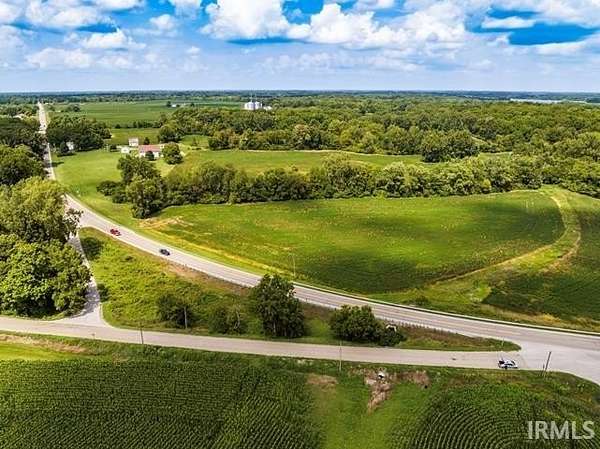
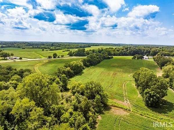
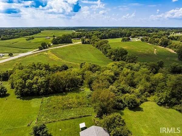
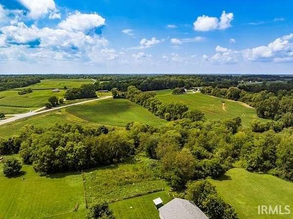
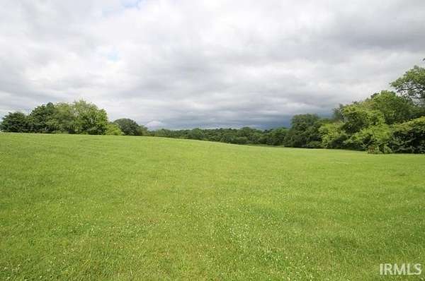
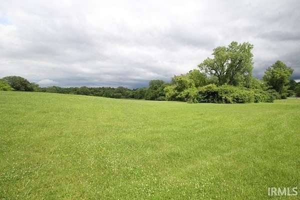
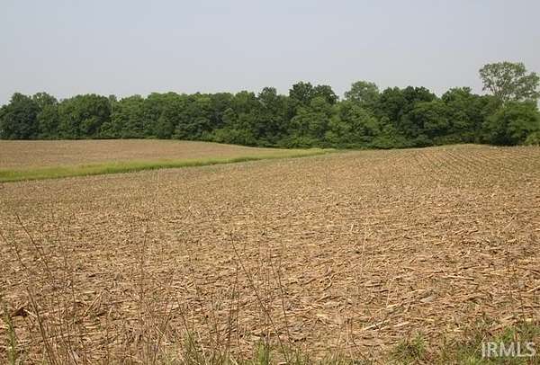
56.88 acres zoned farming. Approximately 50 acres tillable. Crops belong to current tenant. Total of 4 parcels - will not be divided. Fourth parcel number is 18-16-19-227-001.000-020. For directional purposes: this acreage is North & South of 1100 S. US 35 which is a 4 acre parcel with house & barn, etc. owned by neighbor & not included in the sale. Also, not included in the 56.88 acres is 1.35 acres south of highway 35 which will be separated at closing). Seller will consider a contract sale for qualified buyer.
Location
- Street address
- S State Road 35
- County
- Delaware County
- School district
- Liberty-Perry Community S.D.
- Elevation
- 961 feet
Directions
Cowan Road to bypass, East to 35 South, S. to acreage. (Note: The acreage is North of 1100 S. US 35)
Property details
- Acreage
- 56.88 acres
- MLS #
- MEIN 202522213
- Posted
Property taxes
- Recent
- $1,785
Parcels
- 18-16-17-300-007.000-020
Legal description
PT S HLF SW Qtr 18.002 Acres STR: 171911 IN: OUT:, PT SE QTR SE QTR 27.15 Acres STR: 181911 IN: OUT:, N of RD NW COR NE QTR 4.0 Acres STR: 201911 IN: Out:, W SD NE QTR 11.52 Acres STR: 191911 IN: OUT:
Details and features
Listing
- Type
- Land
- Franchise
- Coldwell Banker Real Estate
Exterior
- Fencing
- Fenced
- Features
- Fence, None
Nearby schools
| Name | Type | District |
|---|---|---|
| Selma | Elementary | Liberty-Perry Community S.D. |
| Selma | Middle | Liberty-Perry Community S.D. |
| Wapahani | High | Liberty-Perry Community S.D. |
Listing history
| Date | Event | Price | Change | Source |
|---|---|---|---|---|
| June 11, 2025 | New listing | $625,000 | — | MEIN |