

Land for Sale in Mission Township, Minnesota
Sandbar Ln, Mission Township, MN 56465
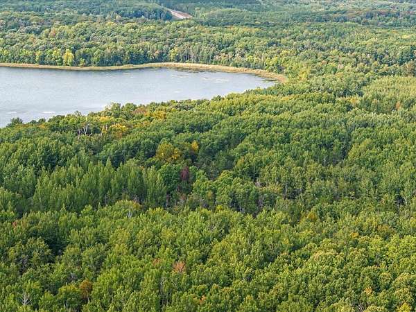
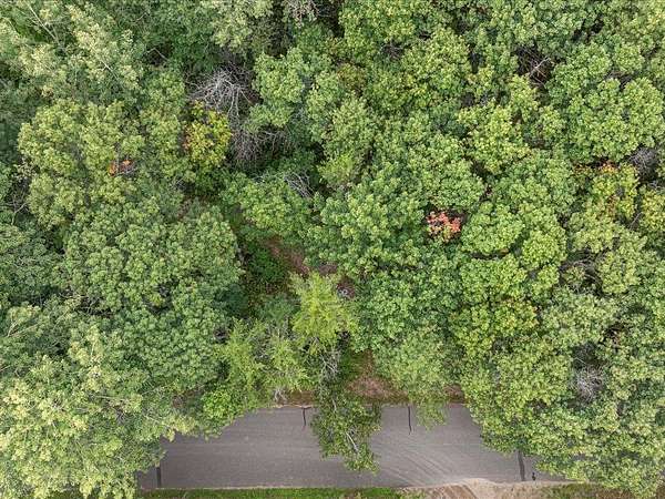
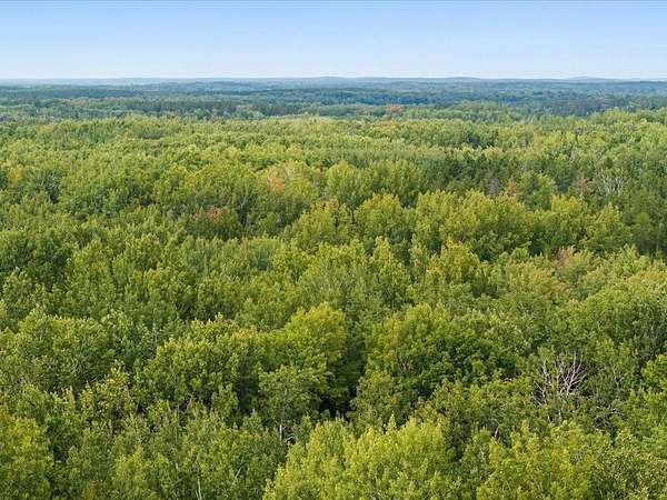
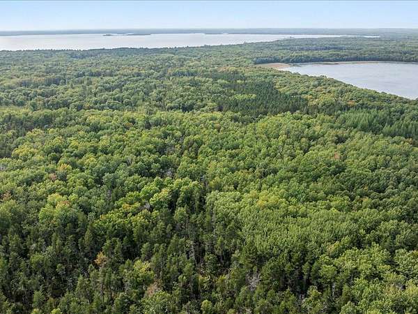
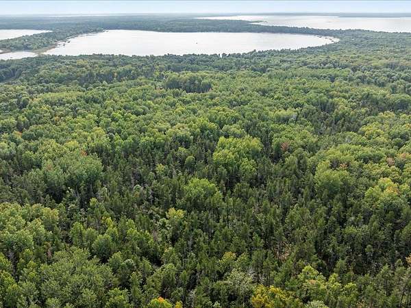
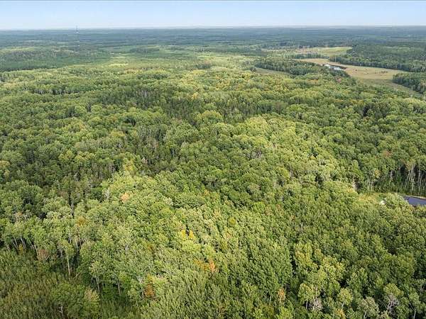
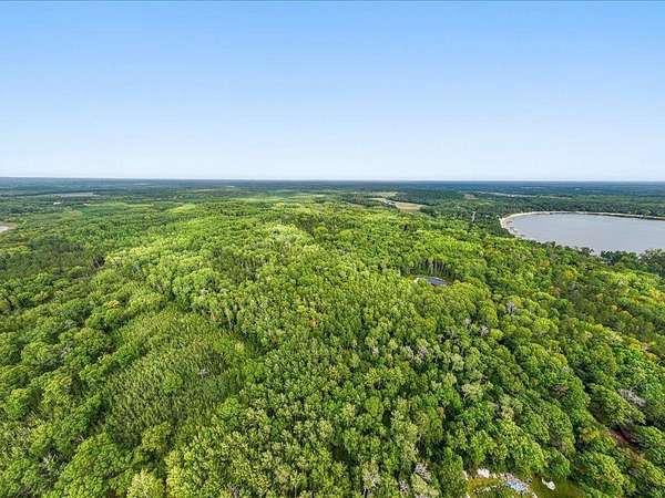
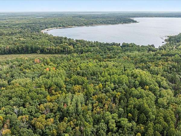
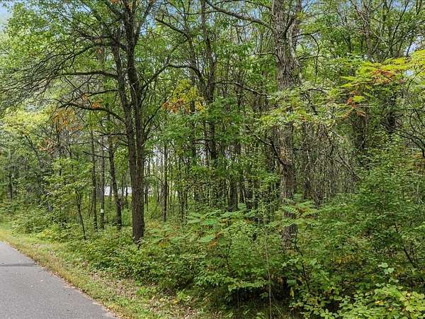
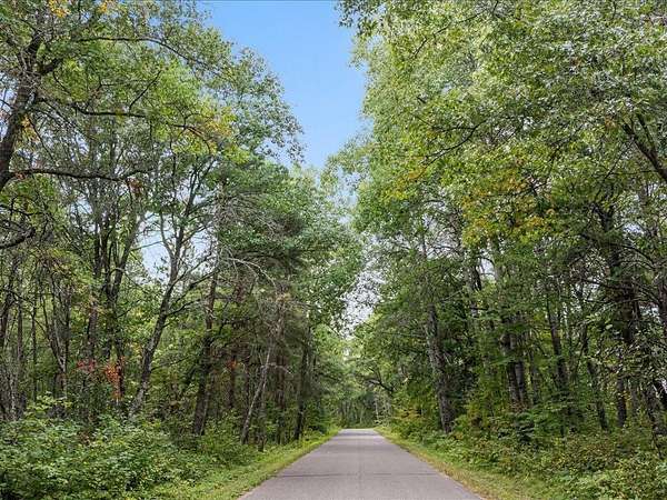
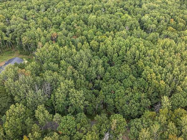
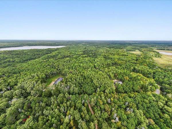
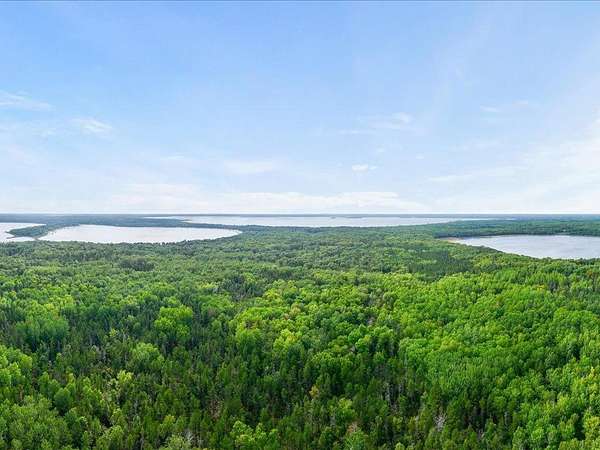
Check out this Wooded building site near Horseshoe and Pelican Lake. A great option for those seeking space and seclusion with this lot. This new lot split is located on private road and abuts Dnr land.
Location
- Street address
- Sandbar Ln, Lot H
- County
- Crow Wing County
- Zip code
- 56465
- Elevation
- 1,227 feet
Directions
South on County Rd 3 at Cty rd 3 and County Rd 11 round about to left on North Horseshoe Lake Rd to just past 13884 N Horseshoe Lake Road or property on left
Property details
- Acreage
- 10.3 acres
- MLS #
- RMLS 7081860
- Posted
Property taxes
- 2026
- $412
Parcels
- 77170575
Legal description
That part of the Southeast Quarter of the Northwest Quarter Section 17 Township 136 North Range 27 West Crow Wing County, Minnesota. Lying South of the North 1003.50 feet.
AND
Subject to and together with a 66.00’ wide easement for ingress egress and utility purposes over under and across that part of the Southeast Quarter of the Northwest Quarter and Northeast Quarter of the
Northwest Quarter of Section 17, Township 136 North Range 27 West, Crow Wing County, Minnesota, more particularly described as follows:
Beginning at the Southeast corner of the Southeast Quarter of the Northwest Quarter thence North 00 degrees 47 minutes 47 seconds West 2390.97 feet; thence northwesterly along a non-tangential curve
concave to the southeast, radius 66.00 feet, central angle of 270 degrees 00 minutes 00 seconds, 311.02 feet; and the chord of said curve bears South 44 degrees 12 minutes 13 seconds West; thence South 00
degrees 47 minutes 47 minutes East 979.66 feet; thence southwesterly along a non-tangential curve concave to the northeast, radius 66.00 feet, central angle of 179 degrees 59 minutes 41 seconds, 207.34 feet;
and the chord of said curve bears South 00 degrees 59 minutes 41 seconds East; thence South 00 degrees 47 minutes 47 seconds East 1146.67 feet; thence South 89 degrees 45 minutes 54 seconds West
323.82 feet; thence South 01 degrees 33 minutes 18 seconds East 472.00 feet thence North 87 degrees 42 minutes 10 seconds East 66.15 feet; thence North 01 degrees 33 minutes 18 West 408.91 feet thence
South 89 degrees 45 minutes 54 seconds East 389.82 feet to the point of beginning.
Subject to a 32.00 foot easement of recorded in Book 160 of Deeds Page 219
Subject to easements restrictions reservations of record.
Listing history
| Date | Event | Price | Change | Source |
|---|---|---|---|---|
| Jan 18, 2026 | New listing | $149,000 | — | RMLS |
Payment calculator