23 Acres of Mixed-Use Land for Sale in Archbald, Pennsylvania
Scranton/Carbondale Hwy, Archbald, PA 18403
Images
Map
Street


$550,000
23 acres
Active sale agoEst $5,326/mo
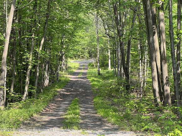
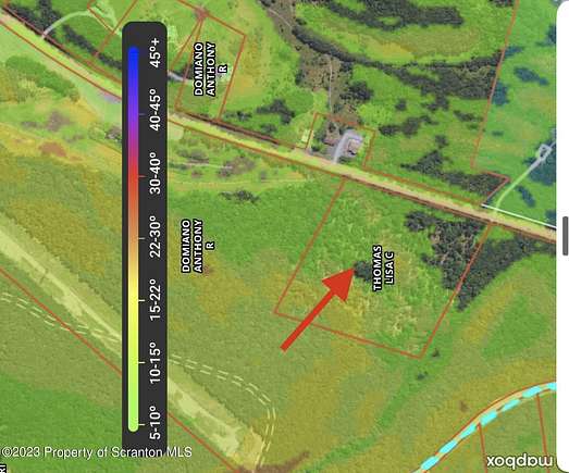
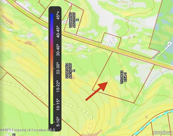
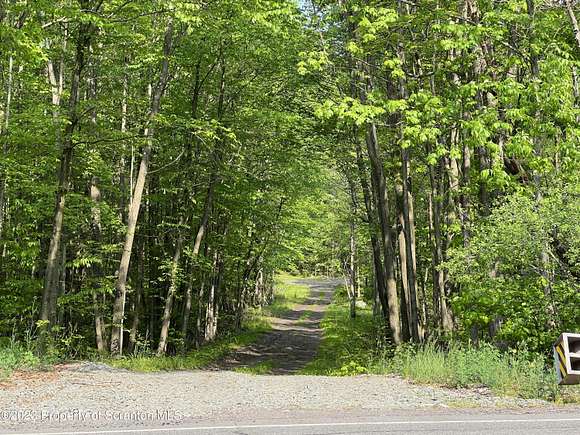
Amazing potential in this 23 acre parcel zoned C-2 General Commercial. Wooded, slopes upward from Route 6. 1000' of frontage across street from Archbald State Pot Hole (960 Scranton/Carbondale Highway)., Tax Information: Available, Additional Info: Part of Mary Dilly Tract, approximately 23 acres, minimum use driveway in place. Property has perc tested. Sewer available 2000' +/- south of property line.
Directions
North on Route 6, Scranton Carbondale Highway, property's stone driveawy is across street from Pot Hole entranced
Property details
- County
- Lackawanna County
- Builder
- Any Builder
- Zoning
- Commercial
- Elevation
- 1,161 feet
- MLS Number
- GSBR 231992
- Date Listed
Parcels
- 0730301000101
Property taxes
- 2023
- $2,012
Listing history
| Date | Event | Price | Change | Source |
|---|---|---|---|---|
| Oct 16, 2023 | Back on market | $550,000 | — | GSBR |
| Aug 16, 2023 | Under contract | $550,000 | — | GSBR |
| May 23, 2023 | New listing | $550,000 | — | GSBR |
Payment calculator
Contact listing agent
By submitting, you agree to the terms of use, privacy policy, and to receive communications.