Land for Sale in Cecil, Arkansas
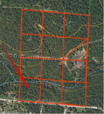
Shelby Ln, Cecil, AR 72930
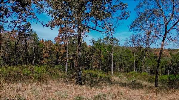
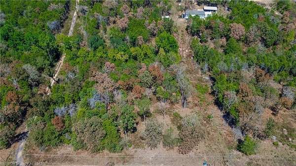
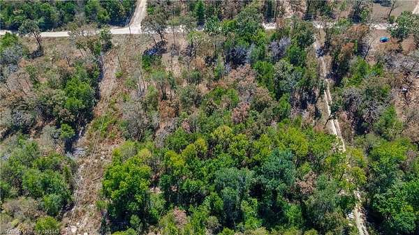
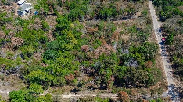
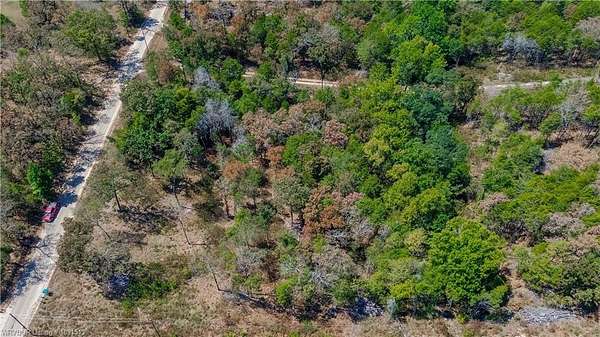
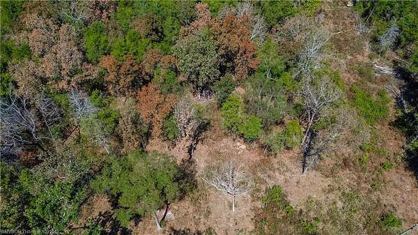
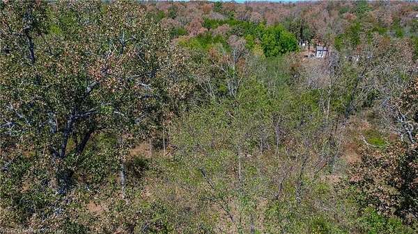
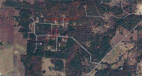
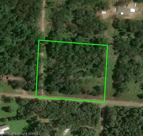
Located at GPS coordinates 35.410910, -93.894513 in the Arkansas River Valley, this property offers quiet forest living within 15 minutes of local shopping, dining, and Ozark wineries, as well as easy drives to Clarksville (30 minutes east) and Fort Smith (1 hour west). Outdoor enthusiasts benefit from proximity to the Arkansas River and 2.5 million acres of public land across the nearby Ozark and Ouachita National Forests. Perfect for building, the land features available electric utilities, high-speed fiber internet, seasonal creeks, and common water wells (groundwater typically under 250 feet), with standard septic systems commonly used in the area.
Location
- Street address
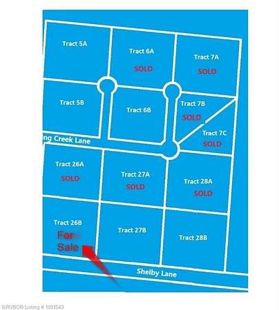
- Shelby Ln, Lot 26B
- County
- Franklin County
- Zip code
- 72930
- Community
- Elliotts Wishing Well
- School district
- County Line
- Elevation
- 601 feet
Directions
From Ozark - Head South on AR-23 Turn right onto AR-96 W 1.9 mi Turn left onto Oak Bend Rd 2.9 mi Turn right onto Shelby Ln/Spring Creek Trail GPS Coordinates - 35.410910, -93.894513
Property details
- Acreage
- 2.512 acres
- MLS #
- FSBOR 1091543
- Posted
Property taxes
- Recent
- $106 - STR: 32-09-27
Parcels
- 003-01126-009
Details and features
Listing
- Type
- Land
- Franchise
- Weichert
Lot
- Features
- Corner, Out of City, Wooded
Nearby schools
| Name | Type | District |
|---|---|---|
| County Line | Elementary | County Line |
| County Line | Middle | County Line |
| County Line | High | County Line |
Listing history
| Date | Event | Price | Change | Source |
|---|---|---|---|---|
| Sept 2, 2026 | New listing | $25,000 | — | FSBOR |