3.2 Acres of Land for Sale in Niles, Michigan
Signal Point Dr, Niles, MI 49120
Image
Map
Street
$48,300
3.22 acres
Active sale agoEst $494/mo
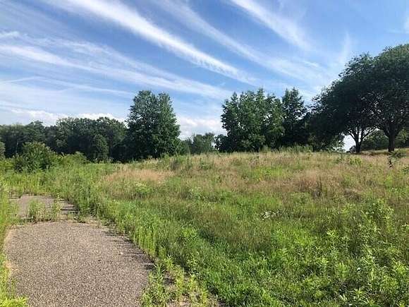
Parcel ''B'' is a 3.22 acre building site at Signal Point. Convenient location that is close to shopping, schools and everything else Niles has to offer. (Listing Broker has an ownership interest in the parcel)
Directions
US-12 to West River Road to Signal Point Drive. Lot is located on south side of Signal Point Drive.
Property details
- County
- Berrien County
- Community
- Signal Point
- Elevation
- 722 feet
- MLS Number
- GRAR 22032388
- Date Listed
Legal description
On file at listing office.
Parcels
- 110501030001440
Property taxes
- 2022
- $238
Expenses
- Home Owner Assessments Fee
- $250 annually
Listing history
| Date | Event | Price | Change | Source |
|---|---|---|---|---|
| Mar 27, 2024 | New listing | $48,300 | — | GRAR |
Payment calculator
Contact listing agent
By submitting, you agree to the terms of use, privacy policy, and to receive communications.