Images
Map
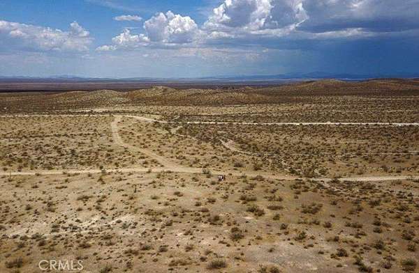
Land for Sale in Adelanto, California
Silver Peak Rd, Adelanto, CA 92301
$40,000
4.66 acres
Active sale
Est $293/moLocation
- Street address
- Silver Peak Rd
- County
- San Bernardino County
- Zip code
- 92301
- Community
- ADL - Adelanto
- Elevation
- 3,085 feet
Directions
Shadow Mountain Rd: North on Highway 395 for 2.6 miles, turn left onto Princess Pat Mine Rd and go 2.9 miles, turn left onto Silver Peak Rd and go 690 Ft. Property is on your right. GPS: 34.760752, -117.525581 Cross Street: Princess Pat Mine Rd.
Property details
- Acreage
- 4.66 acres
- Zoning
- RC Resource Consrvat
- MLS #
- MRMLS HD25233976
- Posted
Parcels
- 0462332140000
Details and features
Listing
- Type
- Land
- Franchise
- RE/MAX International
Lot
- View
- Desert
- Features
- 2-5 Units/Acre
Listing history
| Date | Event | Price | Change | Source |
|---|---|---|---|---|
| Oct 7, 2025 | New listing | $40,000 | — | MRMLS |
Payment calculator
Contact listing agent
By submitting, I agree to the terms of use and to be contacted by . Message and data rates may apply.