Images
Map
Recreational Land for Sale in Snowflake, Arizona
Navajo County, Snowflake, AZ 85937
$49,900
80 acres
Active sale
$11k drop
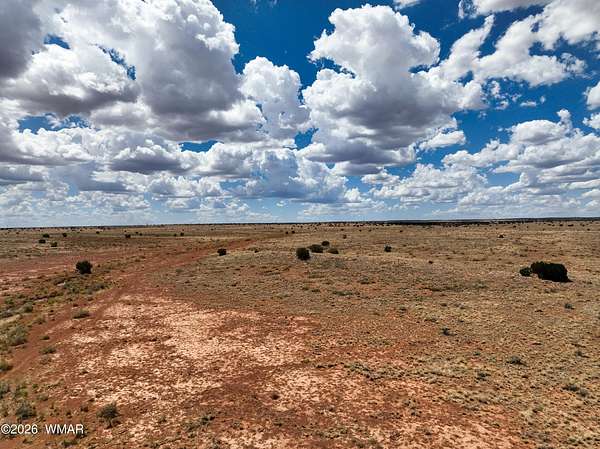
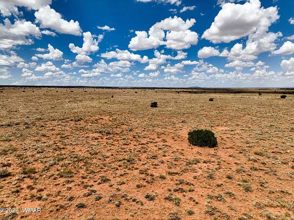
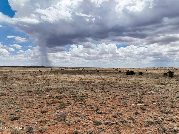
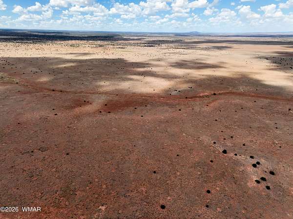
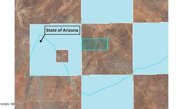
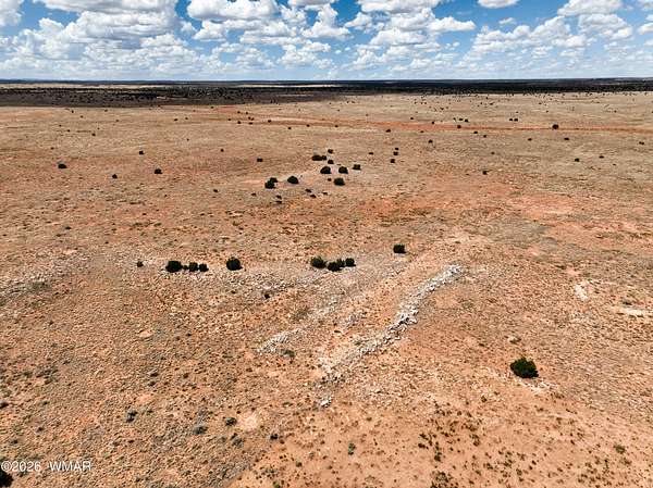
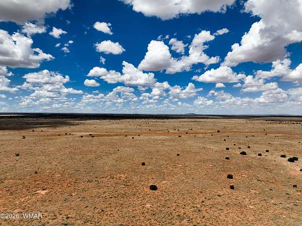
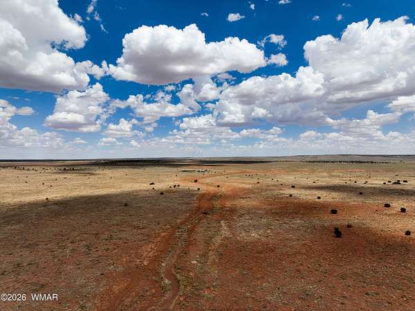
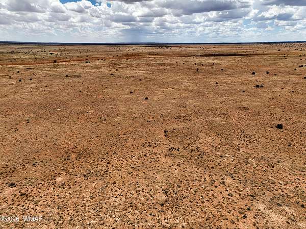
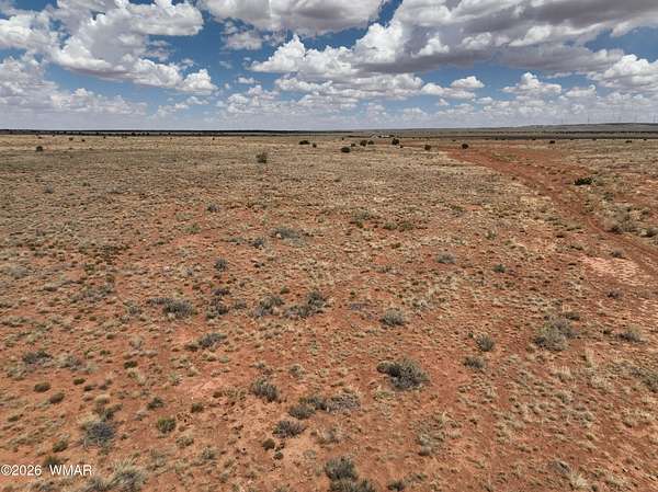
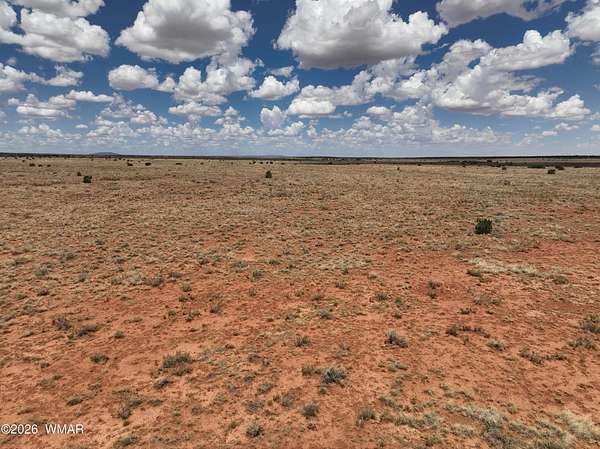
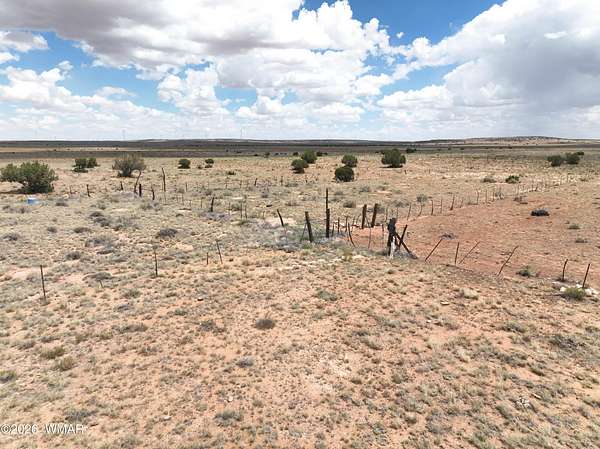
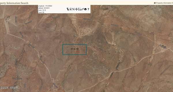
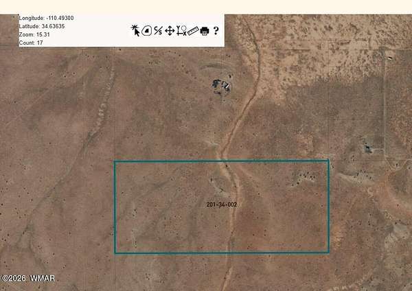
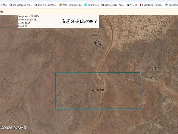
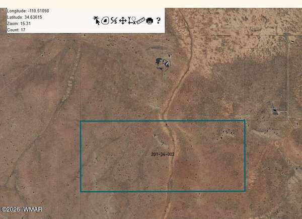
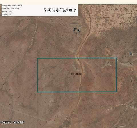
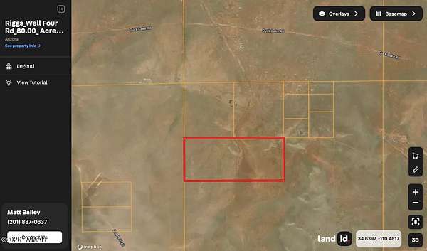
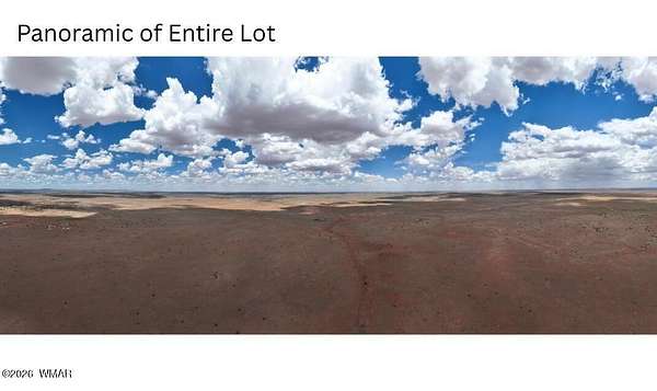
Est $348/moRanch land that borders State Land to the West. Remote, private and peaceful. Located at an elevation of approx. 5600. See associated docs for location. GPS co-ordinates are: Latitude: 34.63543, Longitude: -110.50244. There is no sign on the property.
Location
- County
- Navajo County
- Zip code
- 85937
- Community
- Needs Subdivision 00
- School district
- Snowflake
- Elevation
- 5,892 feet
Directions
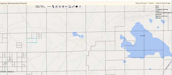
From State Highway 377 West on Ducklake Rd, approx. 6 miles to Coyote Trail - check associated documents and photos to see County Map. GPS co-ordinates are: included in the photos.
Property details
- Acreage
- 80 acres
- Zoning
- AG
- MLS #
- WMAR 260258
- Posted
Property taxes
- Recent
- $138
Parcels
- 201-34-002
Legal description
SECTION 1, T14N, R17E:S2 NW4.
Details and features
Listing
- Type
- Land
- Address
- Parcel # 201-34-002
Lot
- Features
- Recorded Survey
Exterior
- Features
- Level
Listing history
| Date | Event | Price | Change | Source |
|---|---|---|---|---|
| May 22, 2026 | Price drop | $49,900 | $11,000 -18.1% | WMAR |
| Mar 27, 2026 | New listing | $60,900 | — | WMAR |
Payment calculator
Contact listing agent
By submitting, I agree to the terms of use and to be contacted by . Message and data rates may apply.